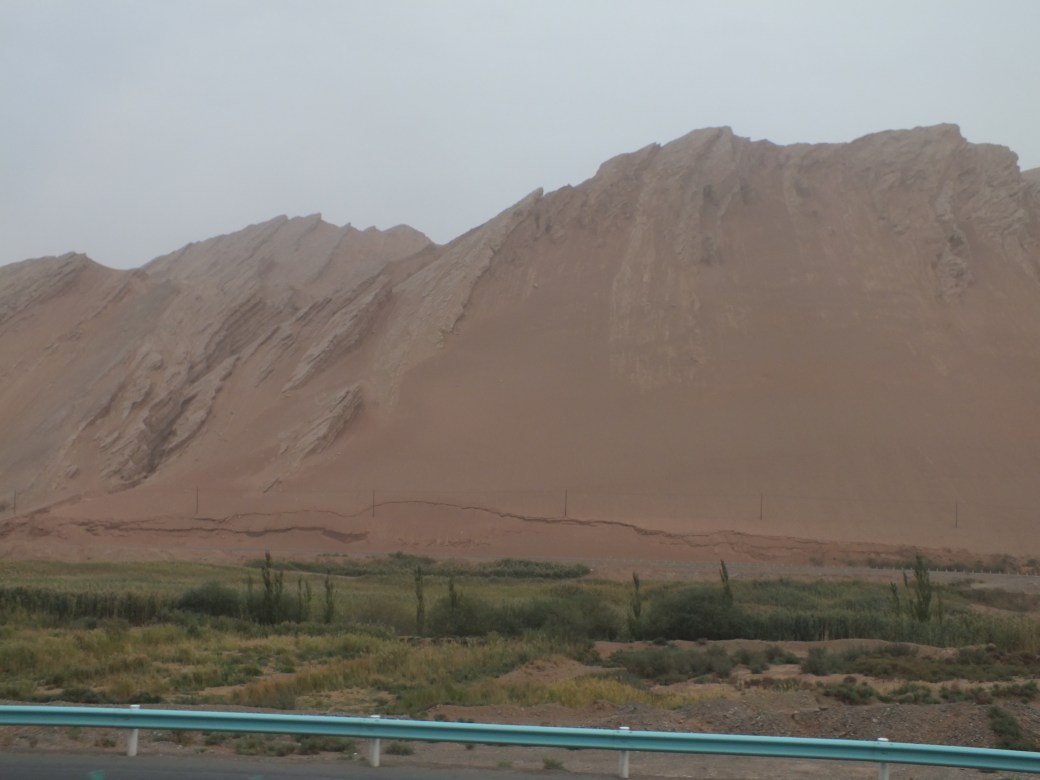
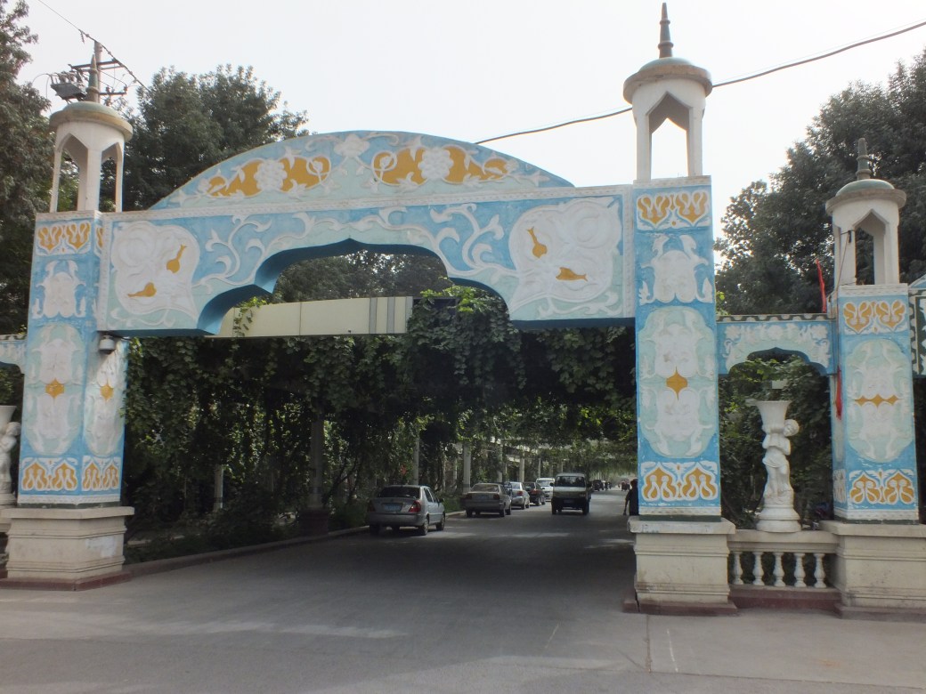
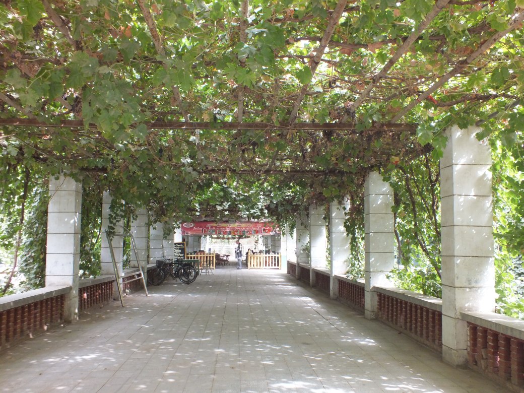
Continuing along superhighway G30, the desert scrub around Dunhuang gave way, surprisingly, to lush fields and forests, vineyards and fruit trees. Though we were approaching one of the reputably hottest regions on earth, the Turpan basin is in fact an oasis sustained by remarkable systems of water management- which we were able to explore.
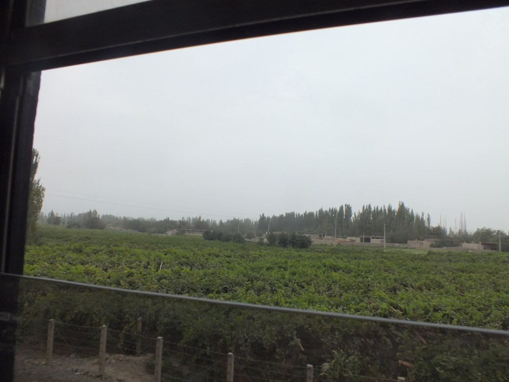
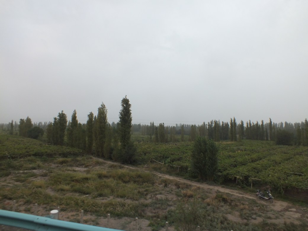
The greenery was all the more surprising because we were entering the Taklamakan Desert, flanked to the north and south by the brutally beautiful Tian Shan mountain ranges.
The oasis town of Turpan was crucial to the traders on the Silk Road, providing a staging post and a market place for the traders to exchange goods and to re-equip their caravans. Although Turpan is the hottest place in China, the lack of humidity makes the atmosphere pretty bearable. The town is a very relaxed, tranquil place, and has some fascinating irrigation channels which show how this dry area has been collecting water for hundreds of years. –Dragoman notes.
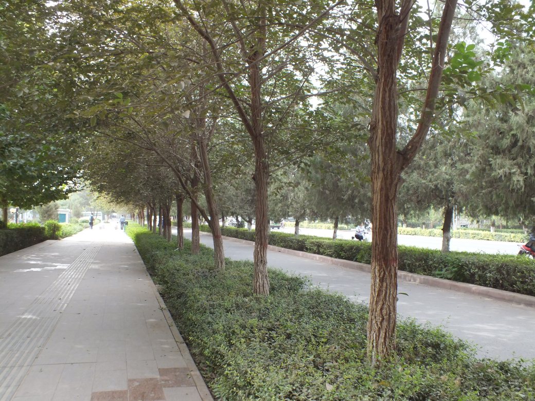
Turpan is remarkably beautiful, and tranquil as the notes say, one of the most pleasant of our many stops.
Our hotel was a bit rustic, but greatly enhanced by surrounding greenery.

In fact, as on other occasions we overlanders were confined to the historic backrooms of a more luxurious update which seemed rather empty .
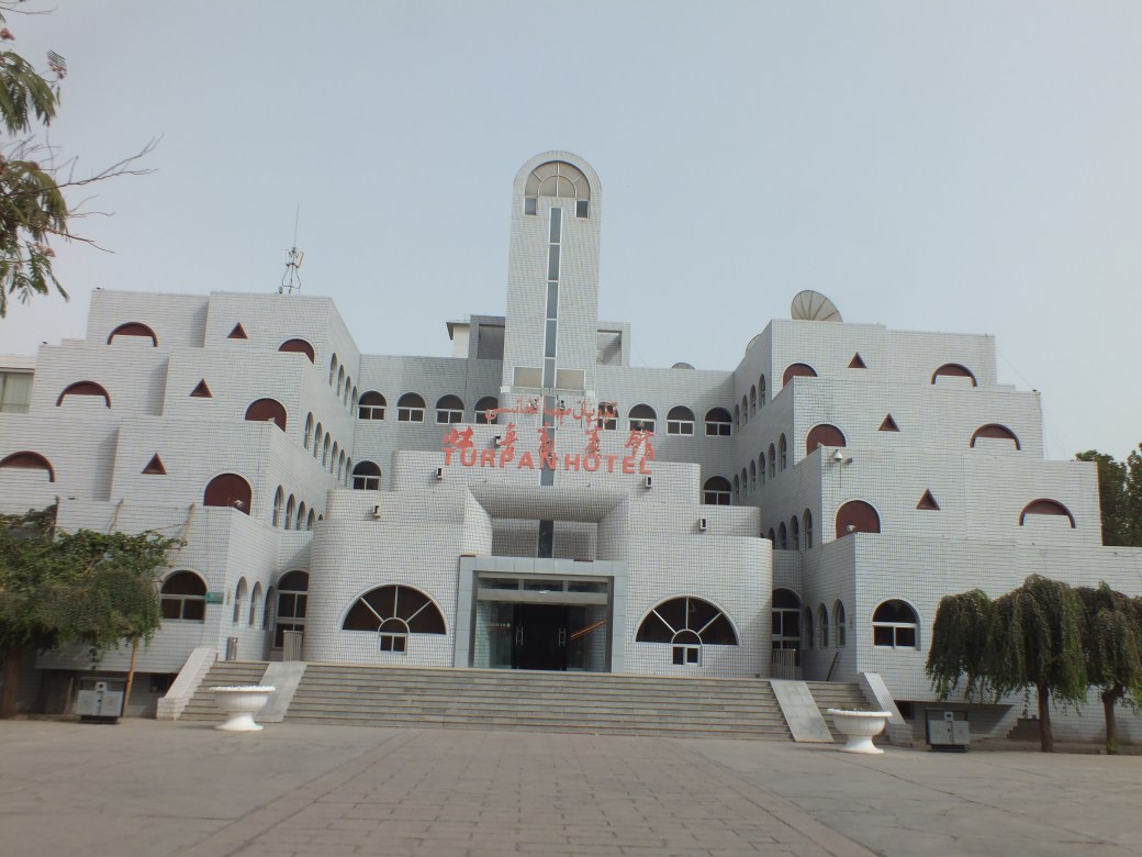


Off-season I guess…or maybe failure of Chinese to draw tourists to Xinjiang
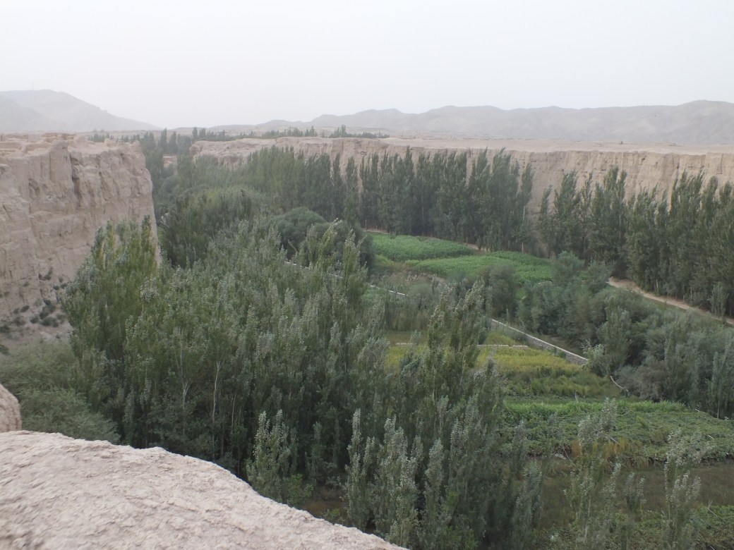
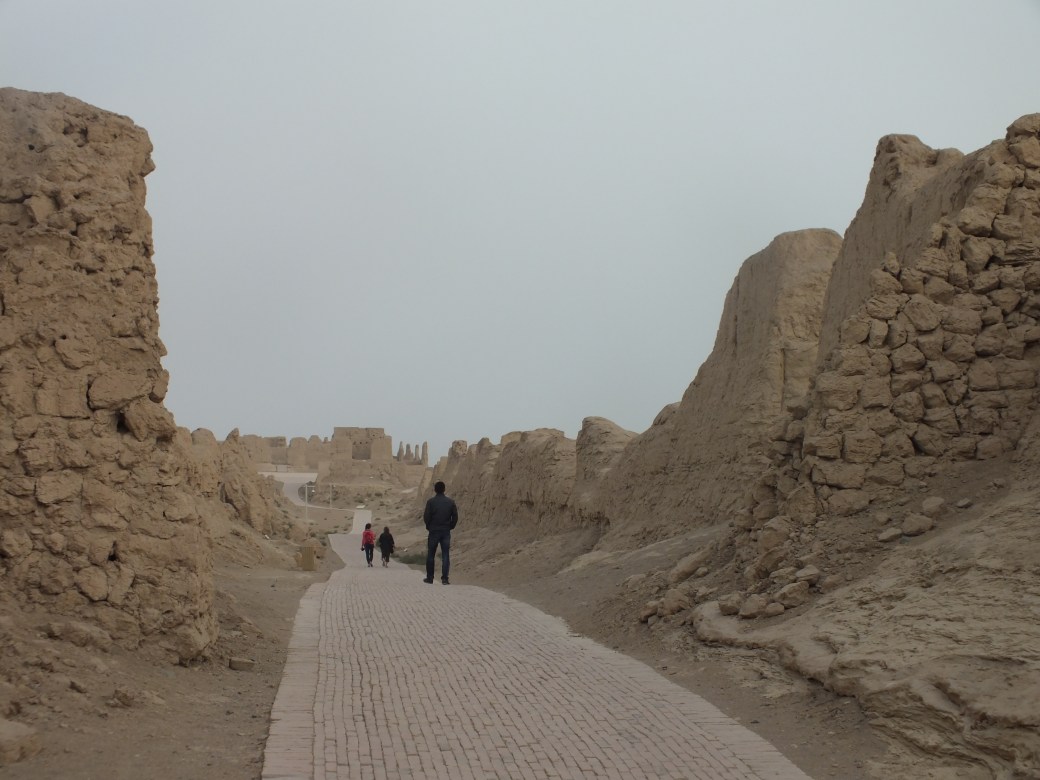
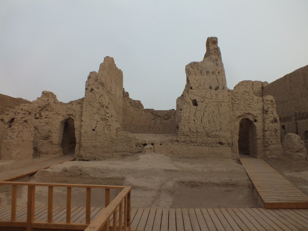
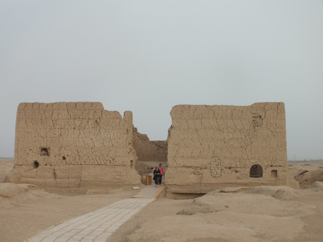
We had reached Turpan in one long drive, so we had lots of time in town. And it was quite eventful. First we had a field trip to the ruins of Jiaohe, an ancient fortress town built on an isolated plateau cut out of the desert terrain by two branches of the Yaemaiz River. Jiahoe means ‘river junction’.
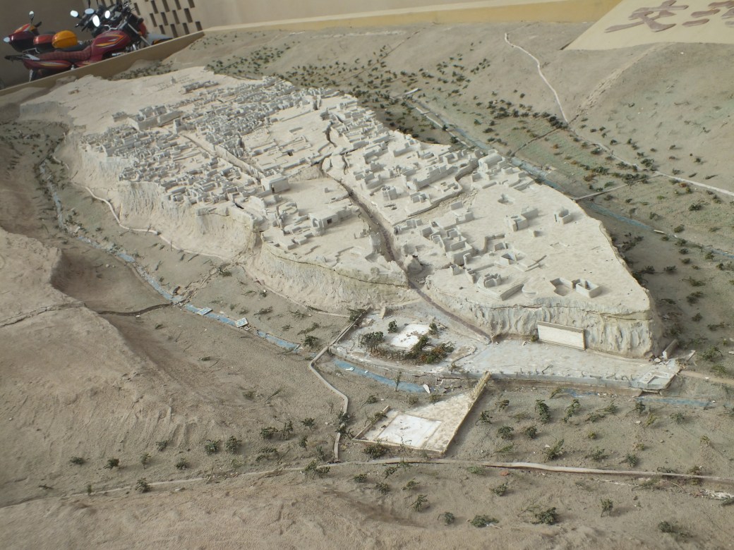
A natural fortress formed by high cliffs carved out of the plateau.
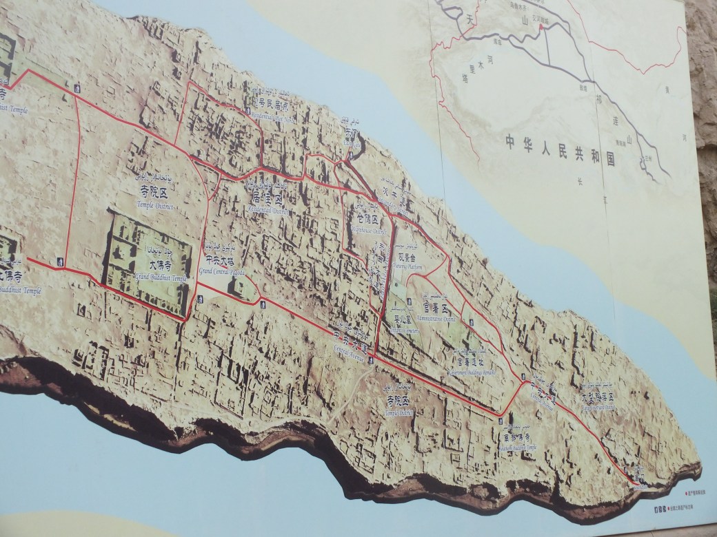
Map reconstructing the once formidable earthen city.
The adjacent river basins were quite lush, under cultivation in fact…
but the ruins a deathly dry adobe.
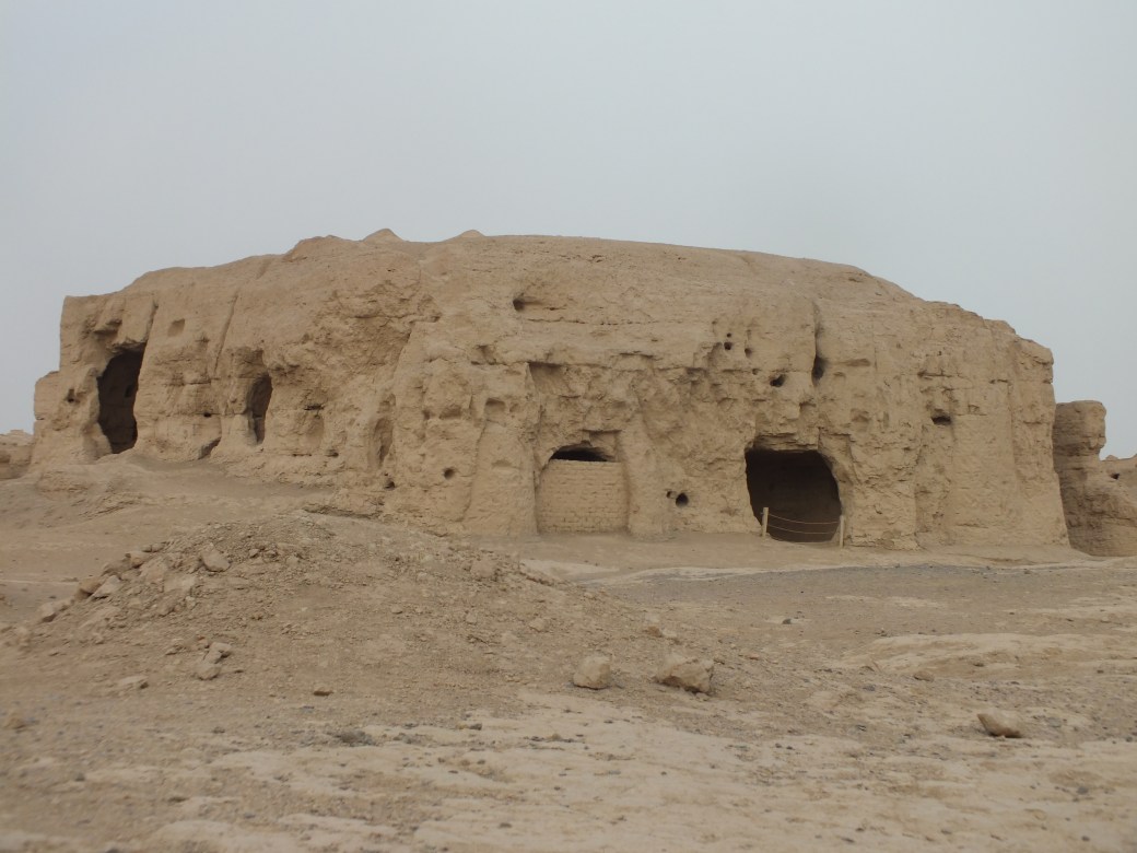
A Buddhist shrine fairly well preserved
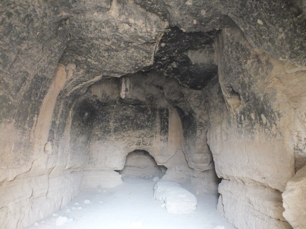
A room with apparent hearth
Jiahoe is reputedly the world’s oldest surviving ‘earthen’ city, constructed of compressed earth and bricks. Its peak populations is estimated to have been about 7,000.
Dating from the Han Dynasty to Uighur times, a period of about 1500 years from the 1st century BC through the 14th century AD, Jiaohe ancient city used to be the capital of “Anterior State of Cheshi”, one of the 36 kingdoms in the West Region in the Western Han Dynasty. Situated along the Silk Road trade route heading west, Jiaohe ancient city functioned as the political, economic, military and cultural center of the kingdom. From 450 AD until 640 AD, Jiaohe County was established by the government of the Tang Dynasty under the jurisdiction of West Prefecture, which later became the seat of the “Anxi Frontier Command” from 640 AD until 658 AD. Later, Jiaohe fell into declining after the Uighur takeover and was finally abandoned after its destruction during an invasion by the Mongols led by Genghis Khan in the 13th century. –ChineTours.com
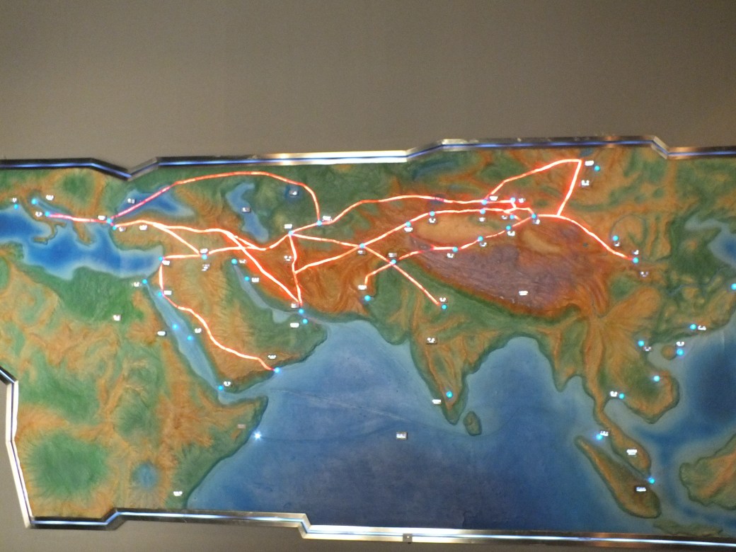
In another excursion we visited a museum devoted to the Karez water system. The karez water system- borrowed from the qanaq system in Persia, dating back to 500 B.C.- consists of a series of vertical wells collecting the runoff from the base of the mountains.

Model of the karez water system drawing mountain runoff through a series of wells to supply an irrigation network

The irrigation network, mostly in underground tunnels, surfaces in a stream at the museum.
The karez system has wells, dams and underground canals built to store the water and control the amount of water flow. Vertical wells are dug at various points down the slopes of the Tian Shan and Flaming mountains to tap into the groundwater runoff. The water is then channeled through underground canals dug from the bottom of one well to the next well and then to the desired destination, the irrigation system in the Turpan Depression. The canals are mostly underground to reduce water evaporation and to create a slope long enough to reach far distances using only gravity. This system of connected wells is thought to have originated in Iran circa 500 B.C.( the qanat system), perhaps indigenously, or been invented in other parts of China. Both historical and archaeological research convincingly point to the origins of this technology in more western regions along with indigenous innovations. – modified from Wikipedia
Gordon and I also visited the impressive Turpan Museum, which displayed artifacts related to the silk road, as well as the remains of some former residents…

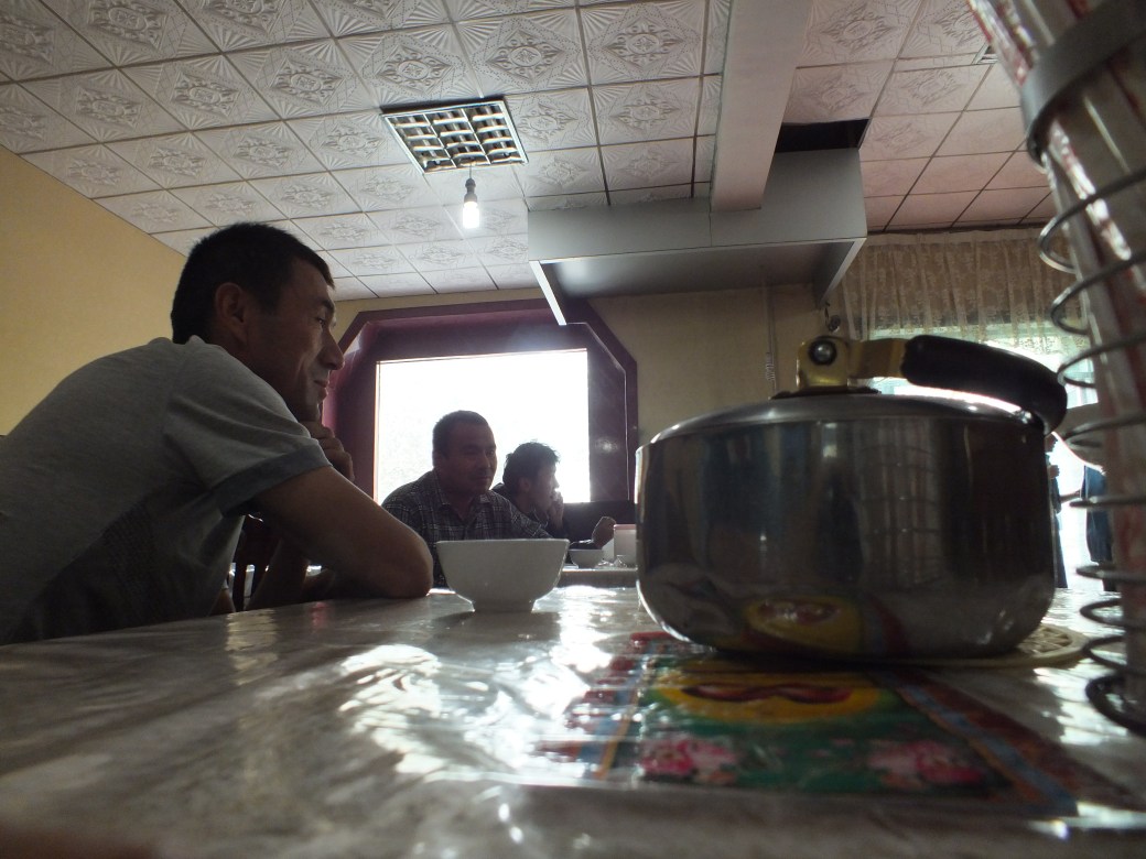
On the way back we had a really local lunch -udon!- in a really earthy café. Somehow we always managed to deploy our rudimentary Chinese to get good food and drink.
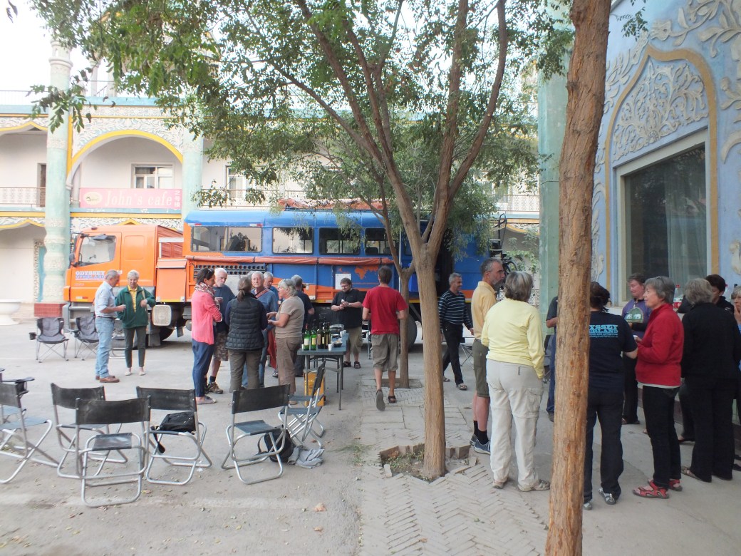
Speaking of drink, by chance another overlander truck, the Odyssey, arrived at our hotel. The drivers and guides knew one another of course; the other travelers were a mix of anglos and colonials as I recall. We celebrated the event with a wine tasting- from somewhere a dozen bottles of Chinese wine appeared and their contents as quickly disappeared. In truth it might better be described as a ‘wine distasting’, alas.
As usual, one of the great highlights of the stop was our time in the fabulous Turpan markets…
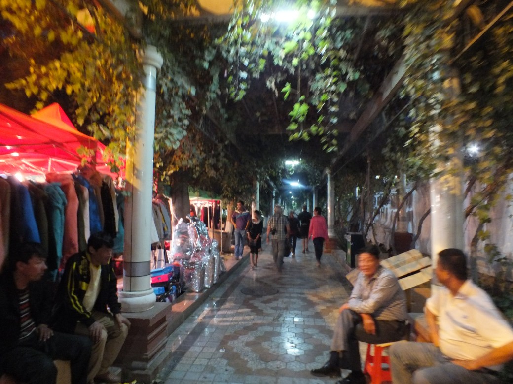
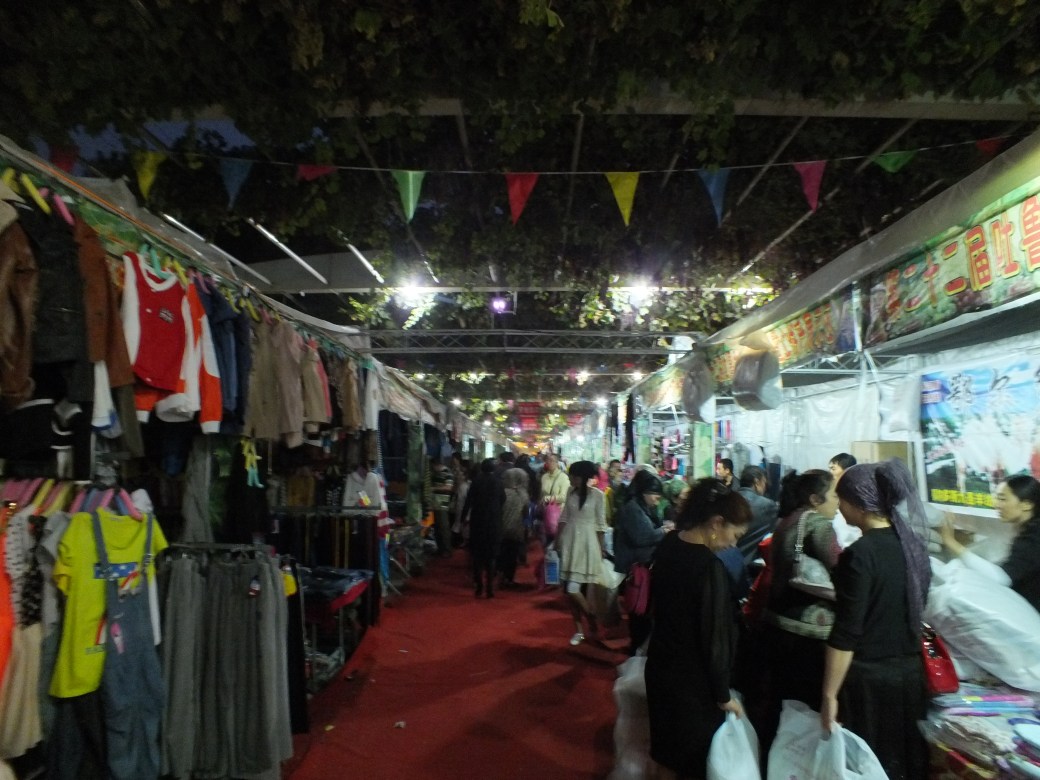
…culminating in a fine dinner in a street café.

Jody scarfs some street treats
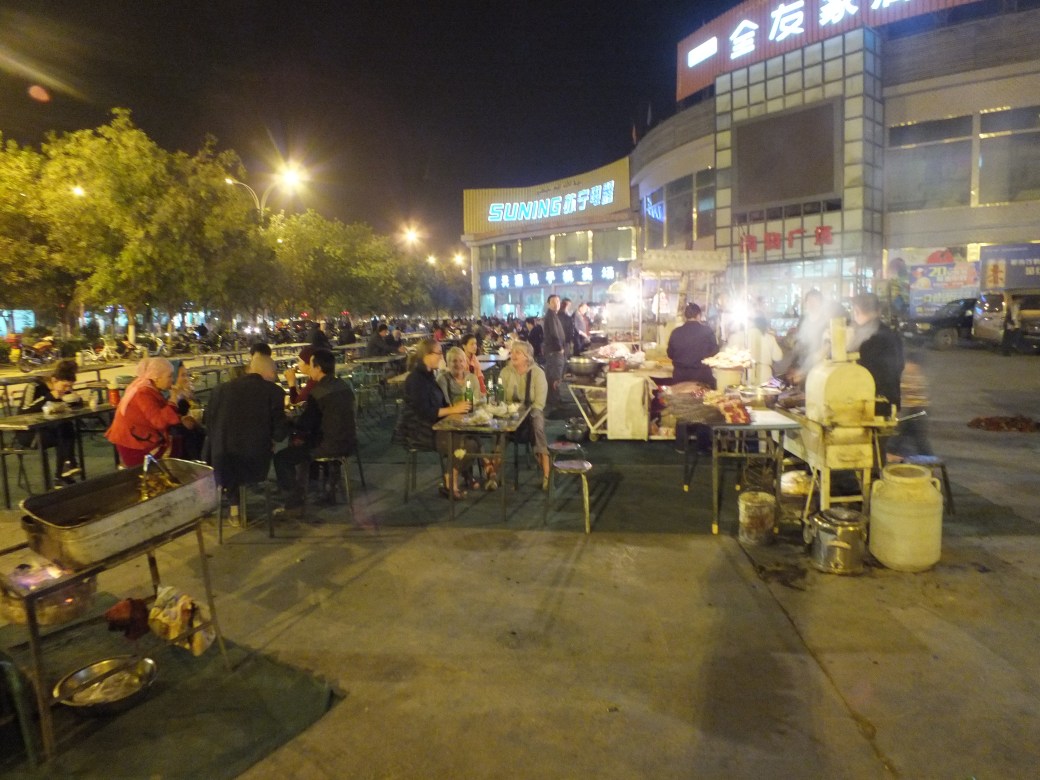
In the foreground we dine finely on a great variety of shish-kabob type delicacies
Eventually we leave the delights of Turpan to set off for the Heavenly Lake, a Buddhist holy place east of Urumqi (Urumchi), a fairly large city, the capital of the Uyghur ‘protectorate’, Xinjiang. We drove right through Urumqi on a very busy superhighway before starting to climb up the Tian Shan range to the lake.

Through the desert with dried salt lake in background
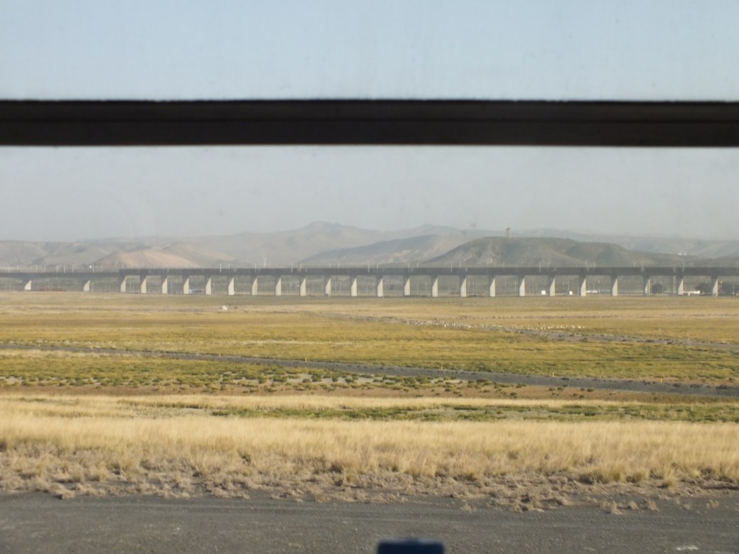
Through the desert with the new supertrain track in the background

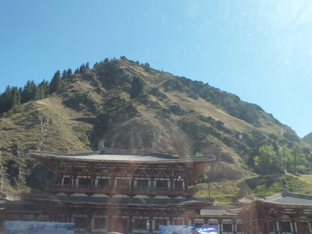
Into the Tian Shan north range


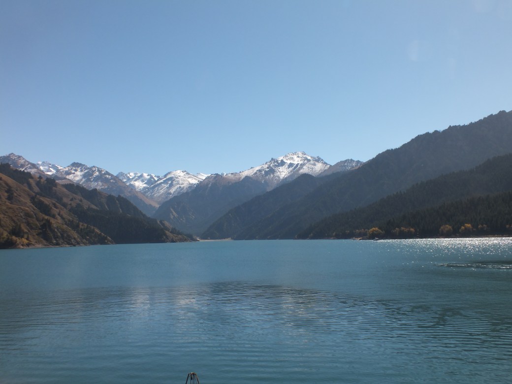
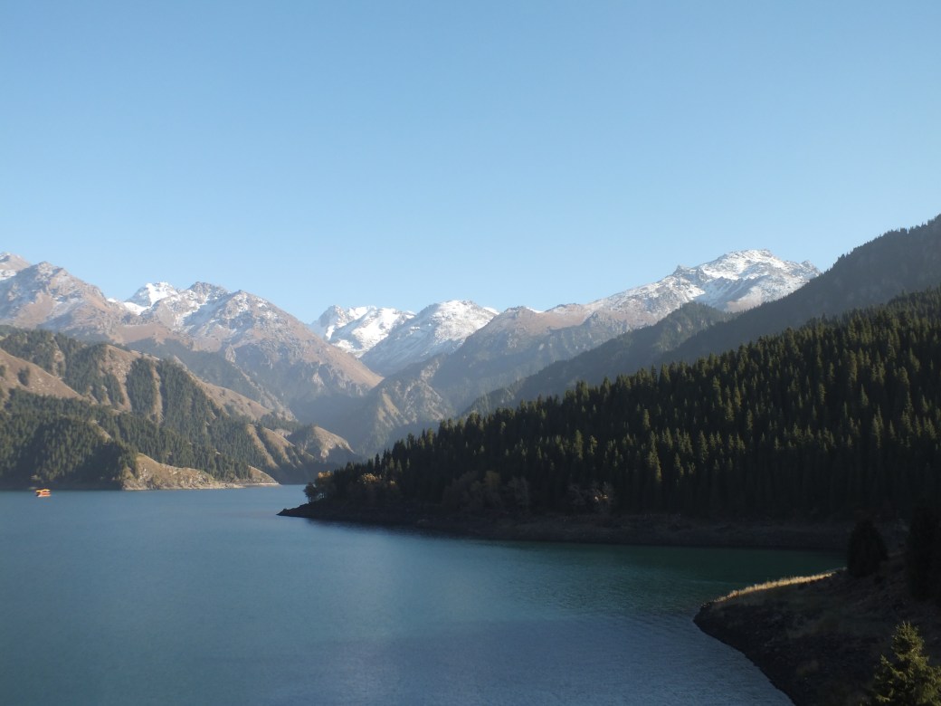
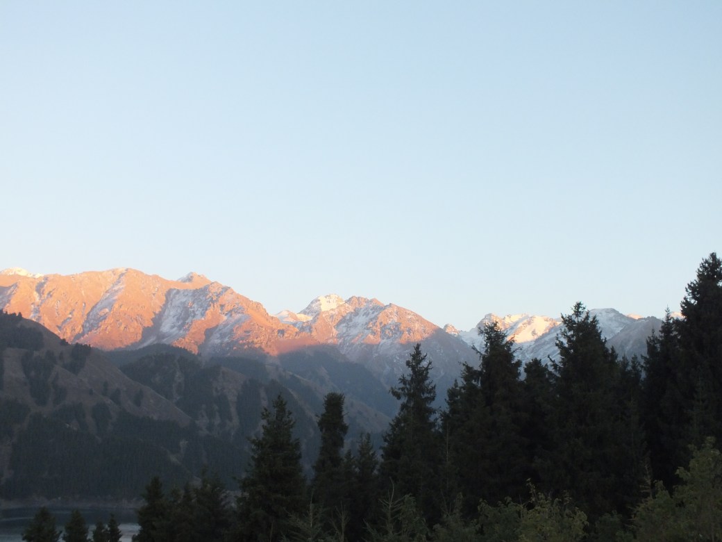
Approaching the lake, Tianchi in Chinese
Tianchi (Chinese: 天池; pinyin: Tiānchí) is an alpine lake in Xinjiang, Northwest China, situated at 43°53′9.7″N 88°7′56.6″E. The name (天池) literally means Heavenly Lake and can refer to several lakes in mainland China and Taiwan. This Tianchi lies on the north side of the Bogda Shan (“Mountain of God”, Bogda is a Mongolian word meaning “God”) range of the Tian Shan (“Mountain of Heaven”), about 30 kilometres (19 mi) south of Fukang and 45 kilometres (28 mi) east (straight-line distance) of Ürümqi. It is an alpine drift lake shaped in the Quarternary Glacier period.

As if the natural beauty of Heavenly Lake were not enough, legend adds a mysterious touch. It is said that the West Queen (Xi Wang Mu) entertained King Mu of the Western Zhou Dynasty (1100B.C.-771B.C.) here. The West Queen fell in love with the king and asked him in her poem.
‘The white clouds drift while the mountains reach the blue sky. Passing thousands of mountains, crossing ten thousands of rivers, you come to us from a faraway place. If you are still strong and fine, would you like to come back to us again?’
The king answered in his poem.
‘After I go back to central China and lead the people to a prosperous life, I will come to you again.’
We do not know why the king never returned. Only the placid lake and the silent mountains witnessed the lovesickness of the West Queen. –China Travel Guide
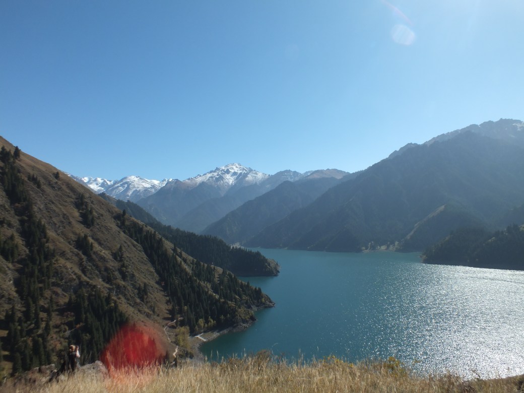
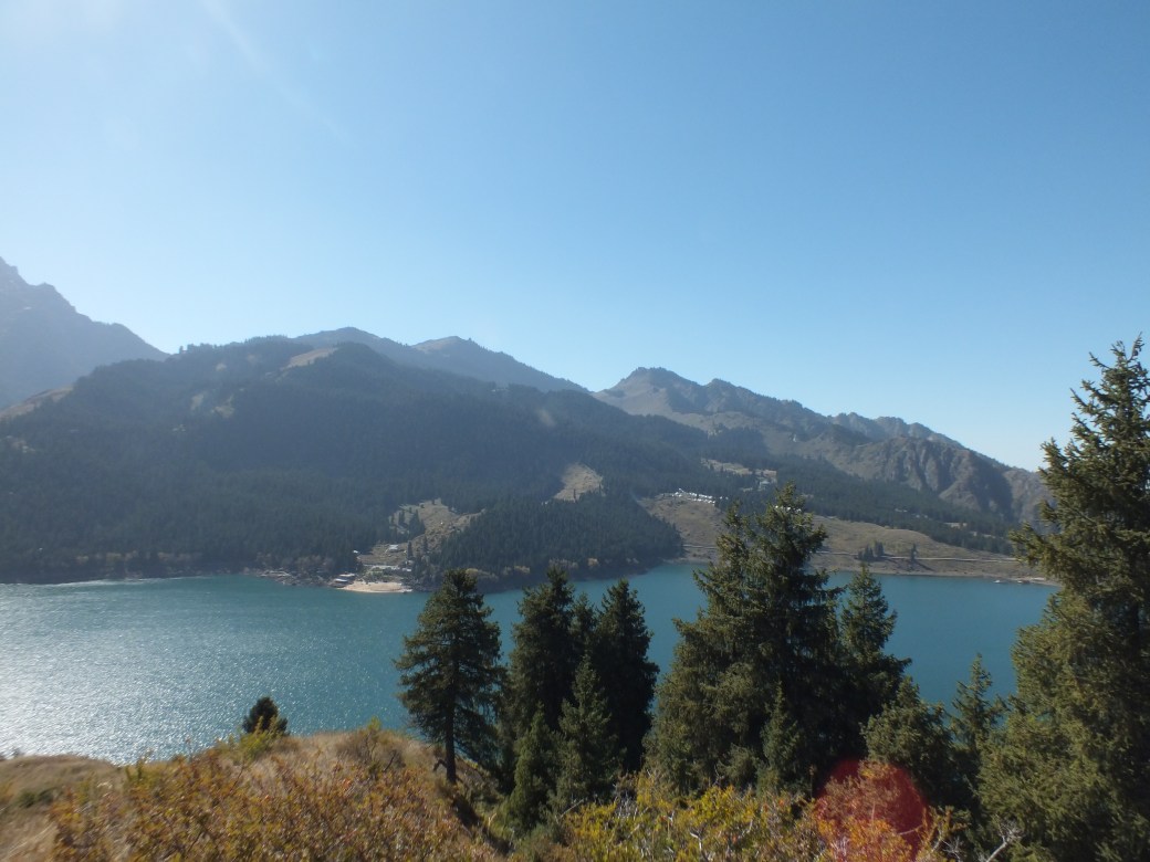
The lake is indeed heavenly beautiful. Kelly, Ariana and I did some separate-ways hiking to the local shrine, and started up the path that runs around the whole lake. At one point the route I chose ended so I struggled up the steep, brambled slope to reach the trail far above (mysteriously appearing out of the brambles in front of startled Kelly). From there I could look across to the yurt village where we were to spend the night.
Atop the brambled slope. Kelly takes snapshot in lower left corner
The beach left of centre, yurt village to the right

The yurt village
I could also see that there was a beach a bit down from the village. Never visiting a body of water without trying to swim in it, I determined to have a plunge. So I sped back down the trail, past the village on a road to reach the beach.
One of the things Chinese do at Heavenly Lake is undertake a spiritual adventure in the shrines. Another more worldly (or maybe spiritual) thing is wedding photos. Sure enough, there was a serious photo-shoot underway, bride and groom assuming endless rather bizarre poses, with frequent changes of colourful costume – a seamstress was there to assist…

I did not want to interfere in the celebration, but I was determined to swim. So I went up the beach a bit, out of camera range I hope, took off my jeans and shirt and plunged into the gloriously clear and super cold water. Janet and Susan happened to be there to witness this temerity. Not just them as it turned out. When I slipped behind a large rock to strip off my soaked undies, a tour boat hove into view.
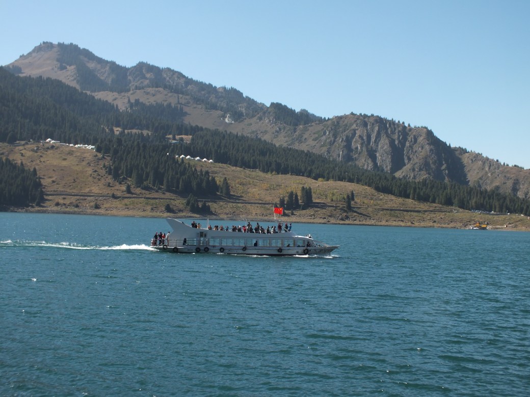
I don’t know what the boat’s guide was saying over his loudspeaker. Maybe something about the sacrilegious gaijin mooning the sacred mountain…
On the way back up the hill to our yurt a young guy in a pickup stopped to give Janet and Susan and me a lift. He worked on a tourism development project near the mountain peak at the end of the road. In an instant he persuaded us to ride with him to the top through some spectacular scenery, ending up at the construction site.
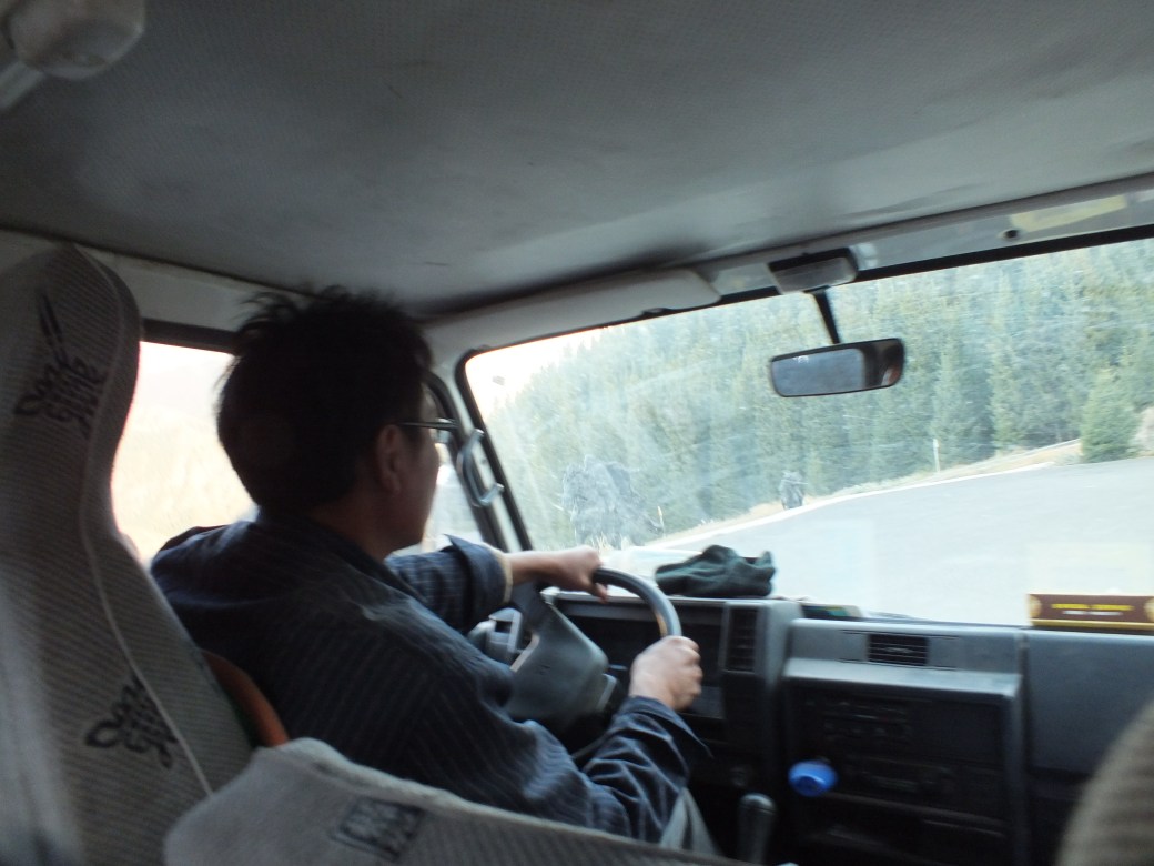
Our serendipidus driver
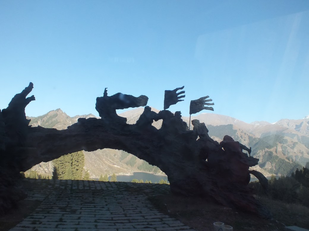
A bronze sculpture depicting local legend
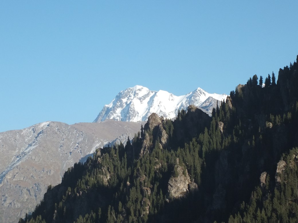
Near the peak
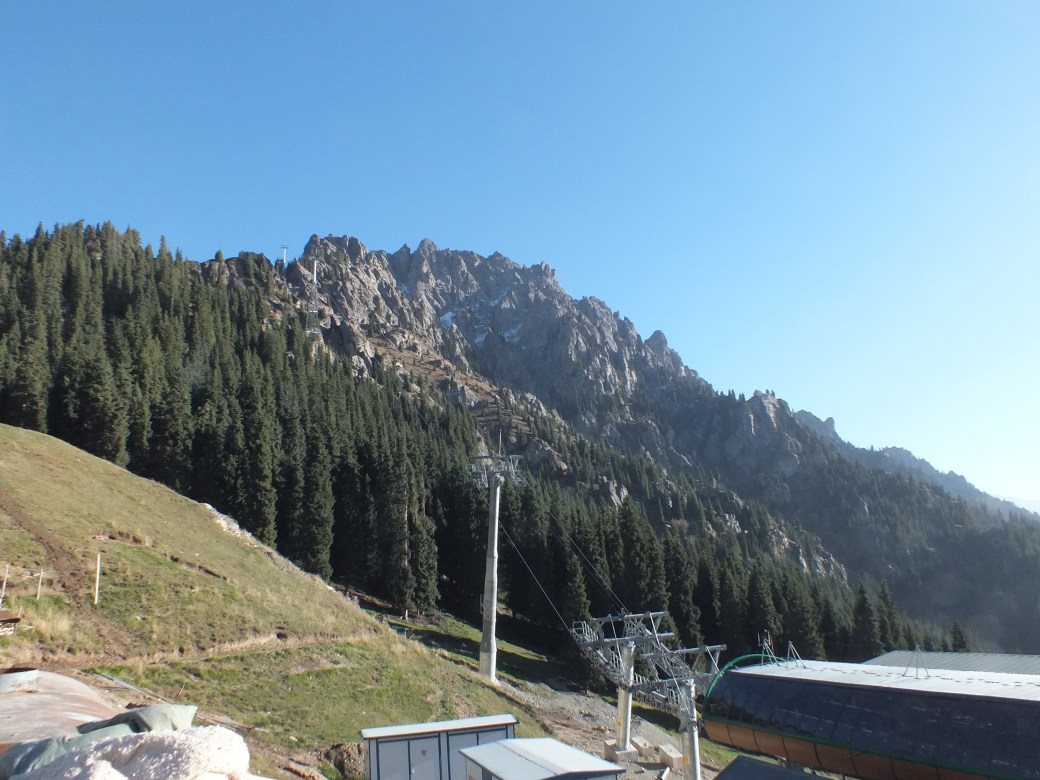
The gondola to an adjacent peak, under construction. If you build it…
Back down the mountain, with the setting sun we settled into or yurt. A cook prepared an interesting meal of rice and veggies.
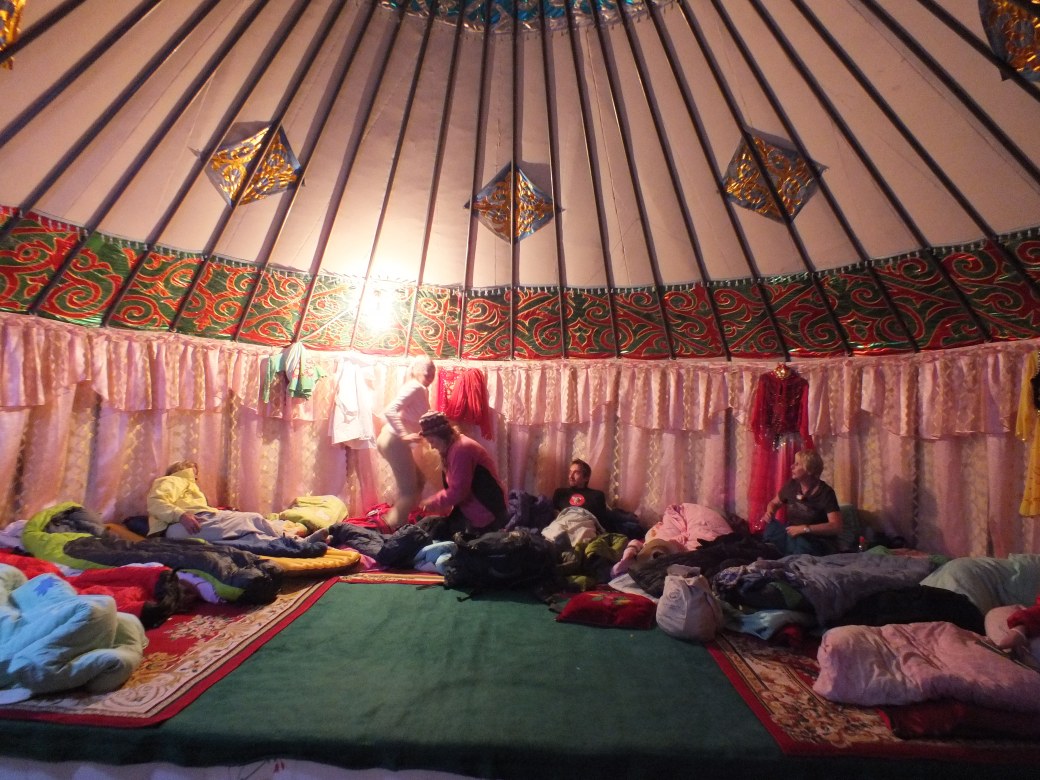
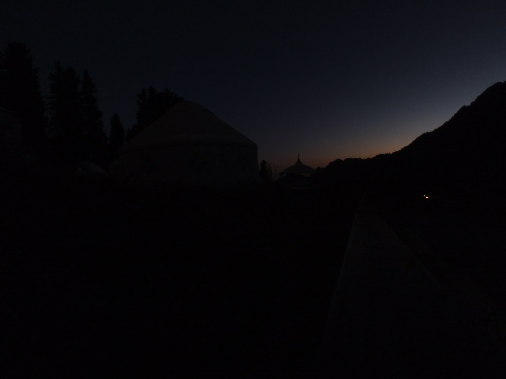
A quiet night, apart from some snoring -not me. Outside a full moon beamed down on the lake. I tried to get some photos, but ended up with only a shot of sunrise as we rose to start a new day on the road.
Next: Across the Taklamakan to Kashgar
