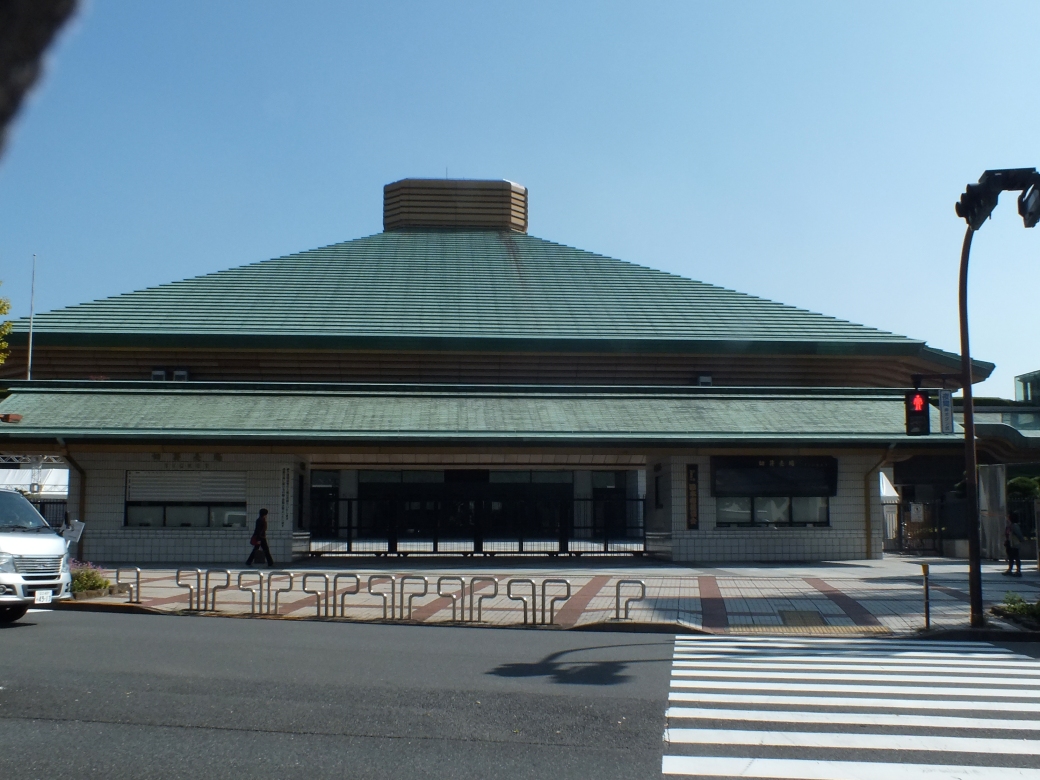
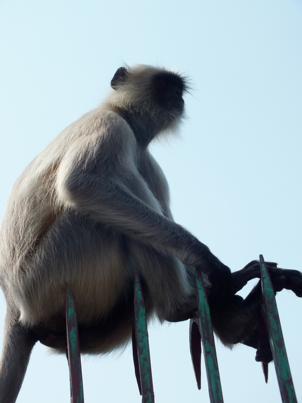
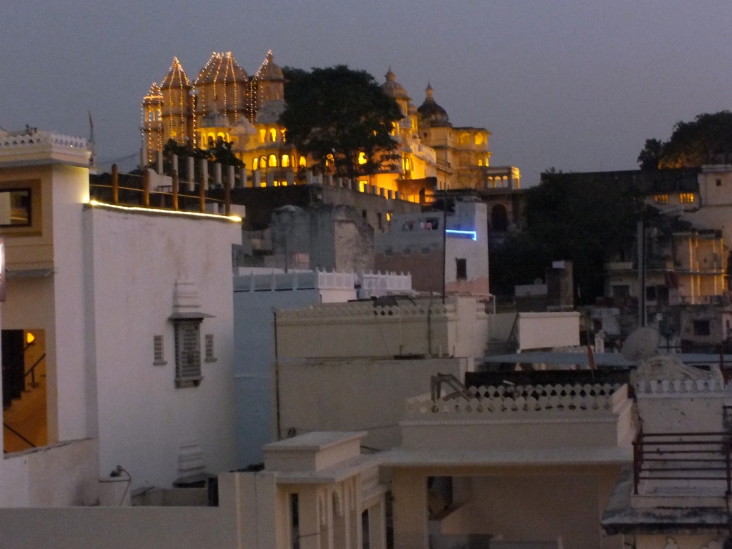
Xian to Xiahe
I am not a fan of gambling, so I don’t buy lottery tickets or enter competitions based on chance. However, if there is an element of skill involved I am happy to compete. That was the case in a contest run by Air Canada around late 2012- probably celebrating its 75th birthday. It involved writing a short essay about some place on the Air Canada routes one would like to visit. The prize, or prizes, 750 of them: a free trip to that place. I thought the odds were good. I entered, and I won.
My essay outlined my interest in tracing the Silk Road.
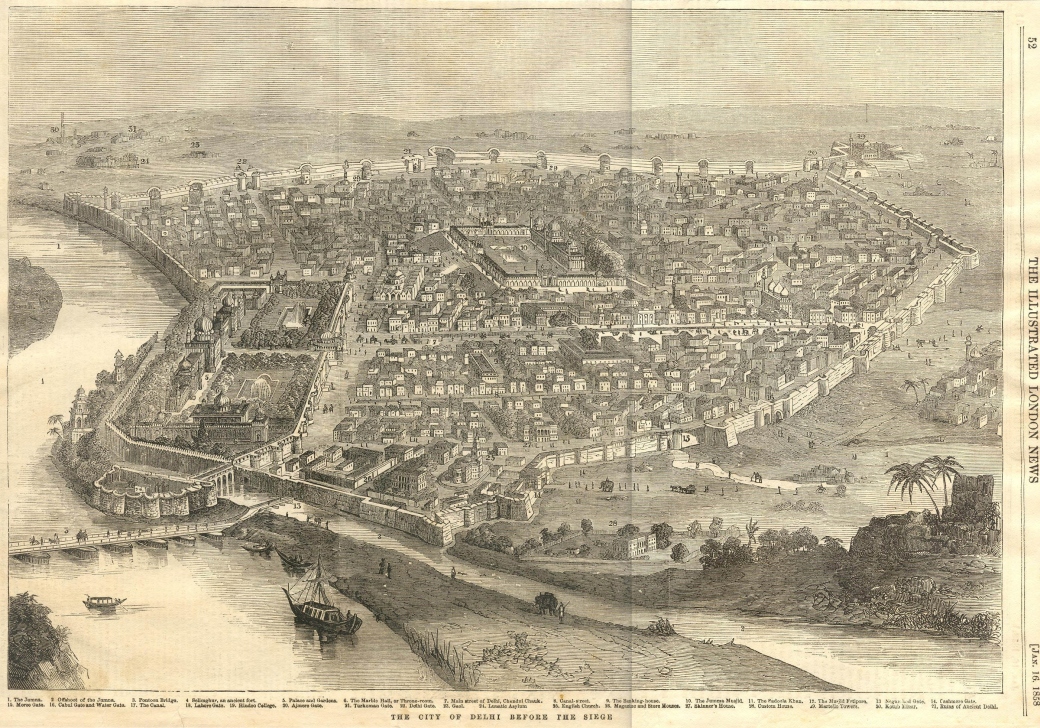
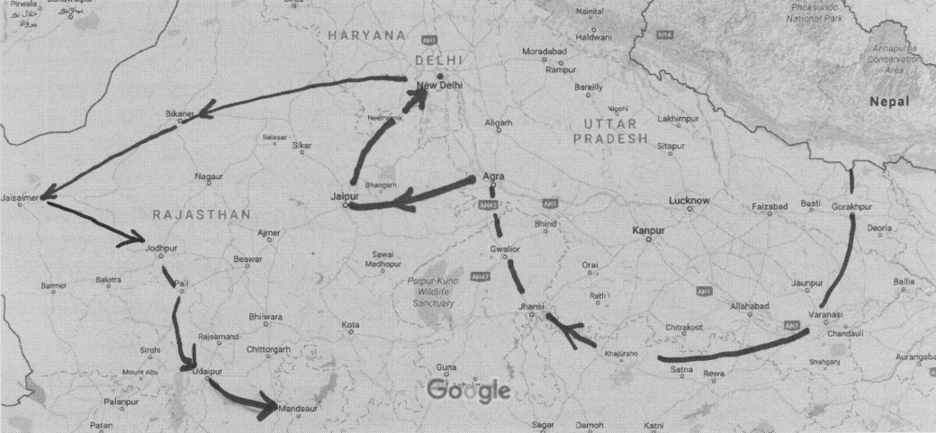
In my most ambitious travel dream I would meander by the most simple method possible the 4500 km of the historic Silk Road, from Luoyang in modern China to the ancient Phoenician city of Tyre on the Mediterranean Sea. I would take the Northern Route, stopping in Xian, site of the capital of the first Chinese Empire and the breathtaking tomb of terracotta soldiers, marvels I have seen second-hand in the museums of Beijing. Then on to the bazaars of Samarkand, to the junction with the southern routes at Merv. I have visited the villages and cultures along the way in my imagination from the time I read about the exploits of Ghengis Khan, a boyhood hero. One of the awe inspiring thrills of travel is standing on the very spot historical characters have stood, viewing scenes that have maybe not changed much, maybe in millennia, reflecting on the momentous events that have intervened, but remembering humbly that even the greatest of human events are but specs on the track of time.
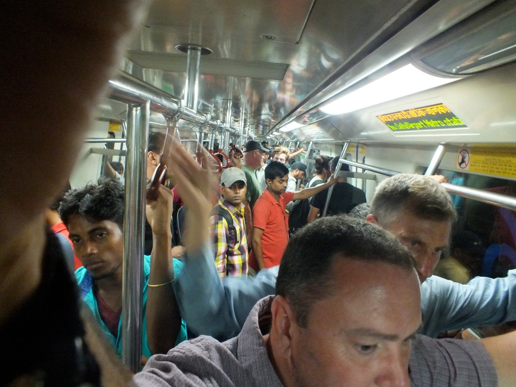
So in September 2013 I began the first leg of such a journey with a flight to Shanghai. I had arranged to join an excursion from X’ian to Kashgar with the renowned British ‘overlander’ firm, Dragoman. ‘Overlander’ in this case means traveling with a small group of people in a roughly converted truck in an intimate relationship with the land. Bumpy roads, local people, modest hotels, rough camping. Real adventure.
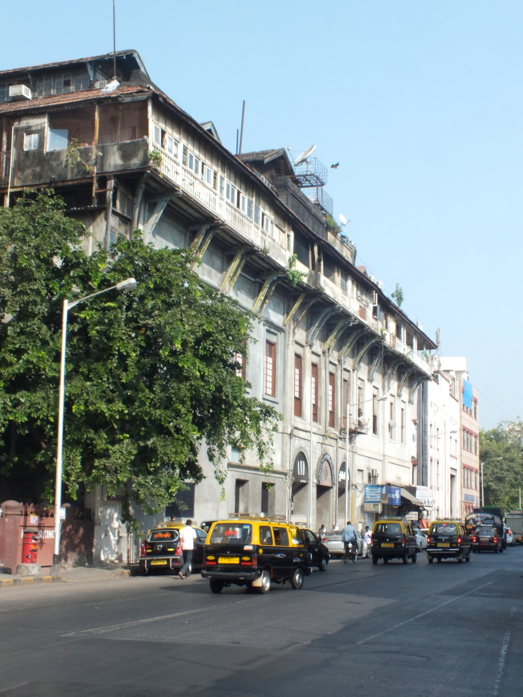
In late1988 I made my first visit to Shanghai as the second stop of a trip to organize inter-university cooperation with the Shanghai International Studies University. This was before the Deng Xiaoping economic reforms were showing a visible impact on life in China; and just before Tianamen Square threw the reform process into question. The streets were absolutely clogged with bikes. Train stations housed myriad migrant workers. The few cars, owned by government officials and other members of the elite, were horrible Russian crates based on the 50s-something British Vauxhaul. There were almost no high rises- our Hilton hotel in Beijing was a slap-dab attempt at modernization. Fortunately at that time I stayed in a delightful old French-quarter apartment, a university residence.
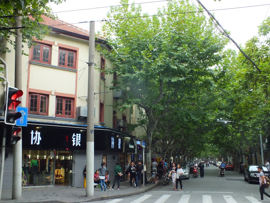
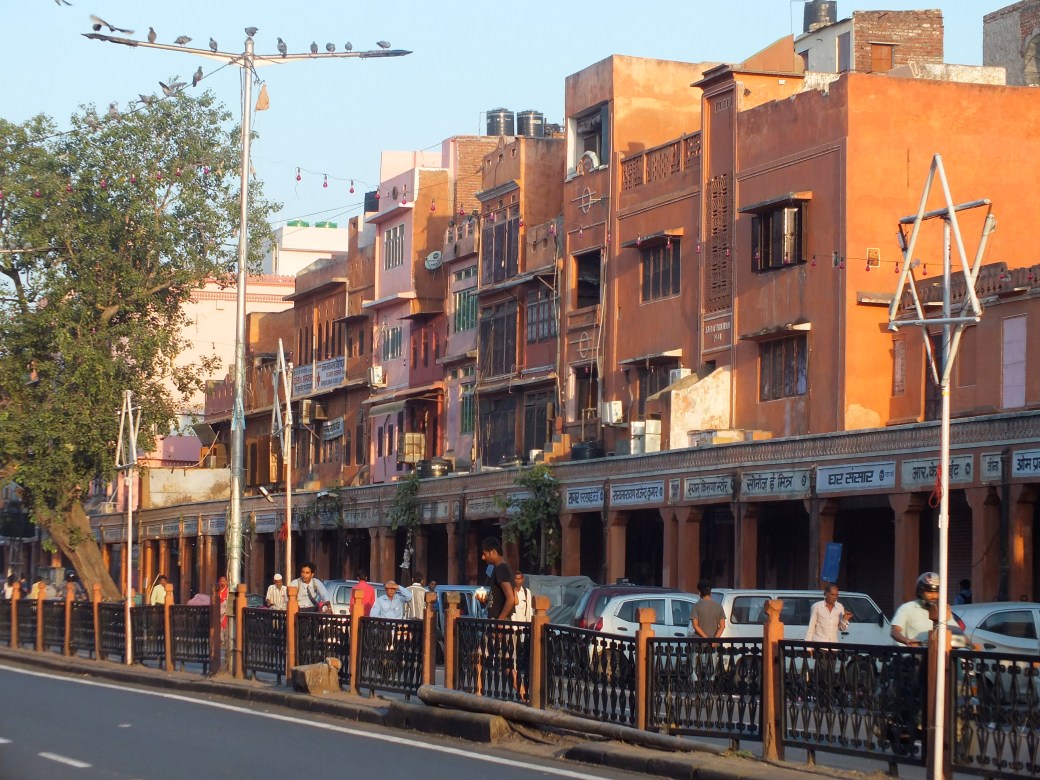
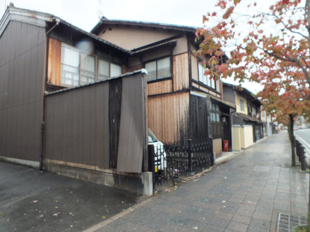
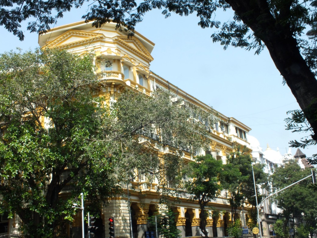
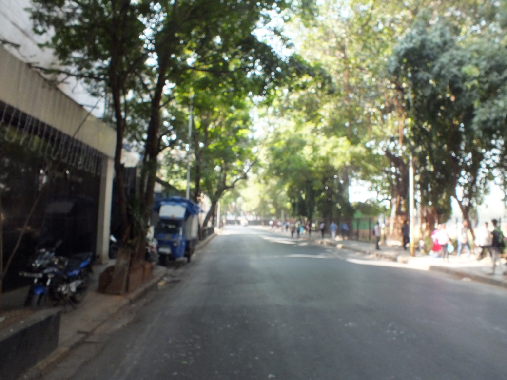
A street in the old quarter, still visible underneath the trendy crowd and shiny cars.
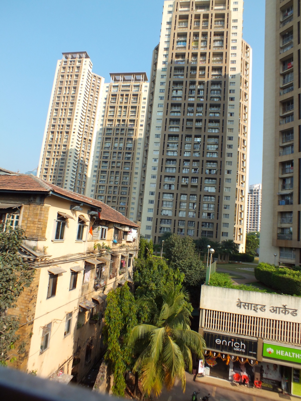
Twenty five years later, the difference was night-and-day: Shanghai had become one of the most modern, dynamic cities in the world, a leading design centre.
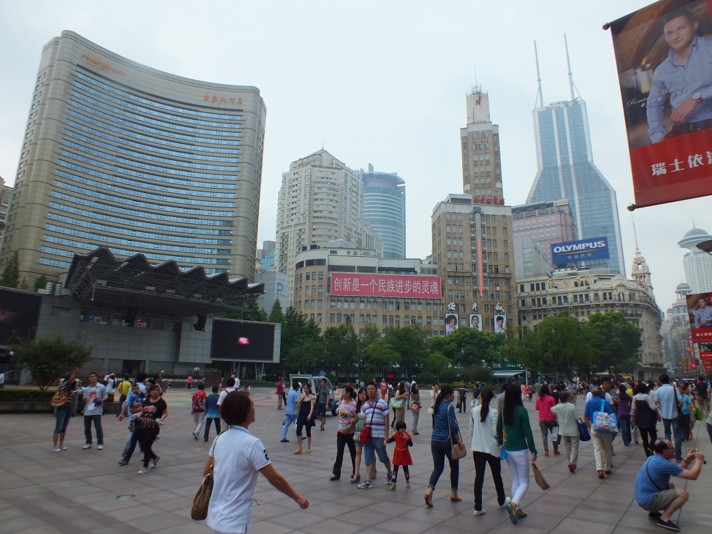
People’s Park, Shanghai
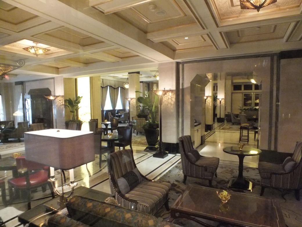
Extraordinarily progressive architecture, freeways, traffic jams, state-of-the art public transit, a thriving middle class. Again I stayed in a historic sector, an old hotel in the Bund.
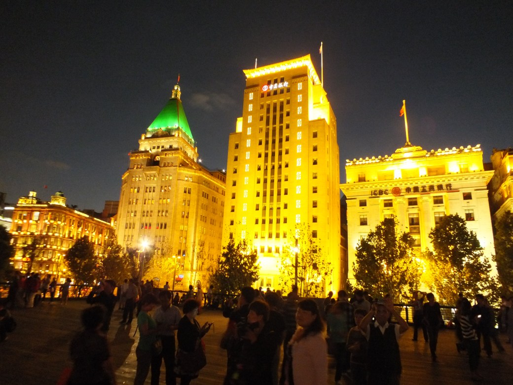
The Bund, bordering the Huangpu River, was part of the International Settlement created for Western occupiers as a result of the Opium Wars beginning in the late 1830s. It became the centre of business, fine hotels and impressive Art Deco architecture. It is also the nightly scene of promenades along the sea wall by thousands of Chinese and tourists. My hotel was 2 minutes from the waterfront, just behind the iconic Peace Hotel.
The iconic Peace Hotel. I think we had a meeting over a glorious dinner atop this hotel in 1988.
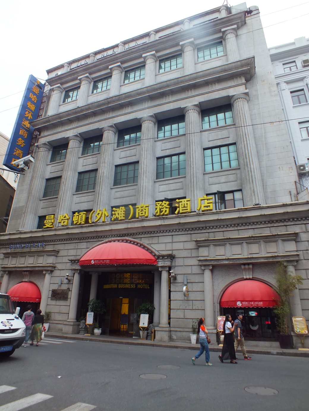
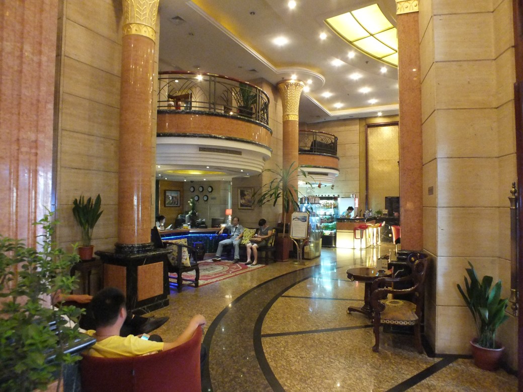
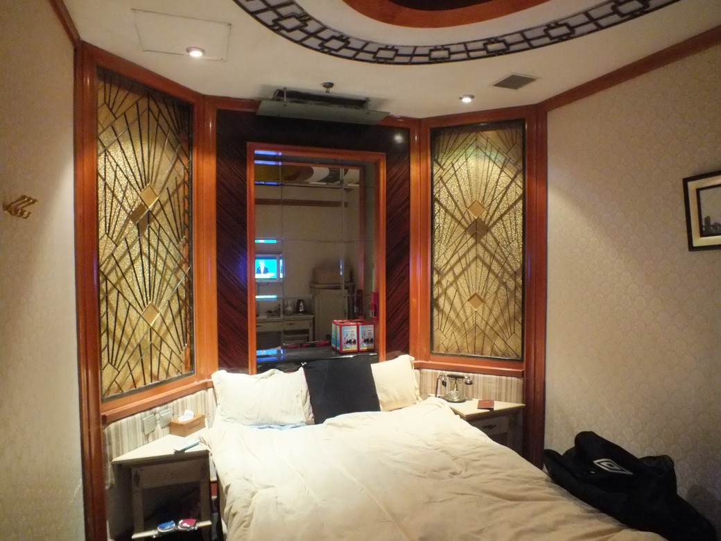
My hotel, the Manhatan- not bad for 50 bucks even in windowless rooms.
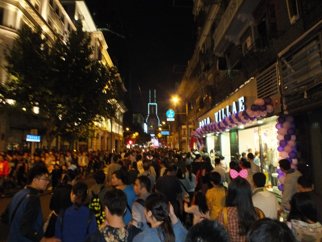
Night-life on the Nanjing Donglu promenade adjacent to my hotel
Across the river lies the spectacular new commercial and banking area, Pudong , developed from scratch on swampland, featuring amazing architecture and light shows.

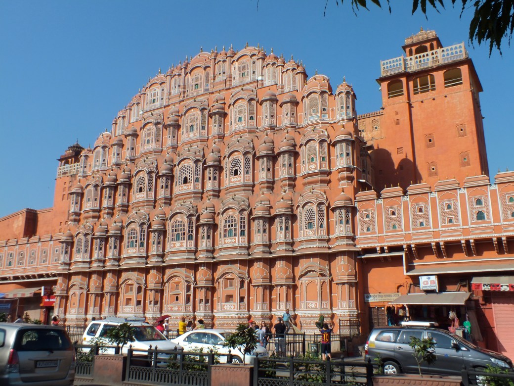
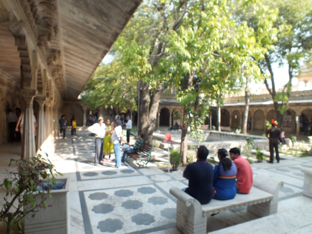
Among the many attractions (beyond the bustling people and their shops and restaurants), I singled out the Urban Planning Centre. As head of the Senneville Urban Planning Committee I thought this city of 15 million(?) might provide some lessons for our village of 950…
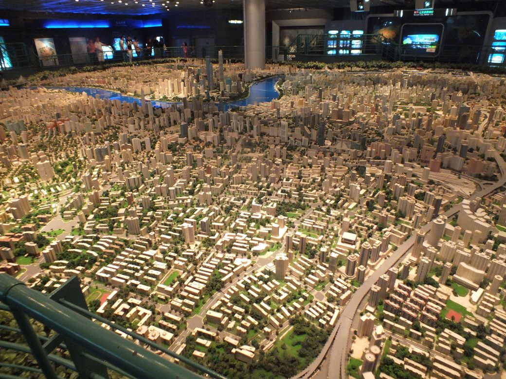
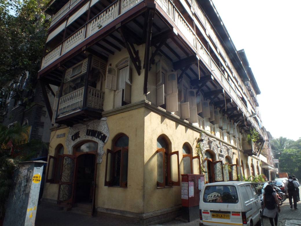
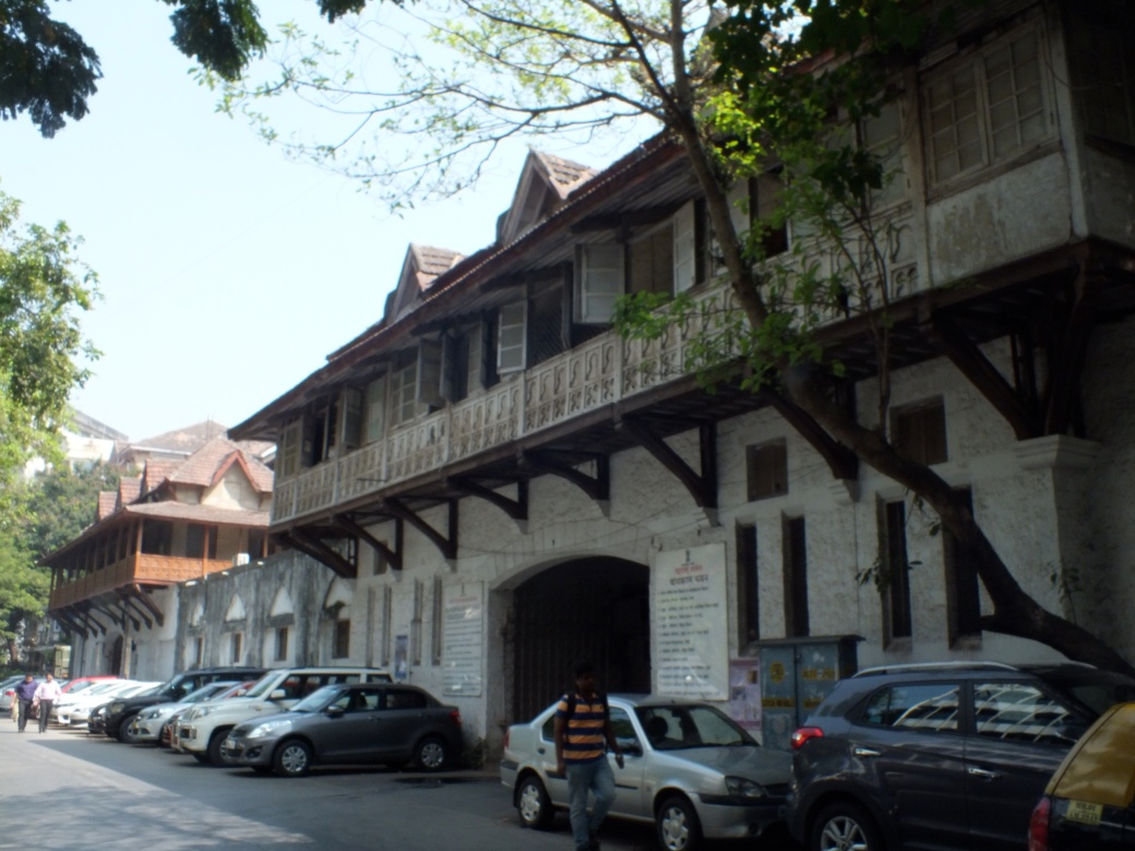
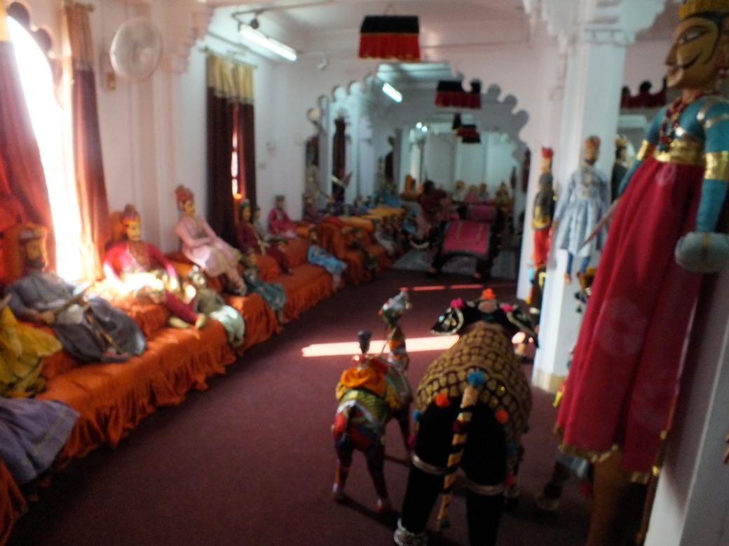
The centrepiece is a giant scale model of the city, with some interactivity to highlight certain features. The historical narratives were equally impressive. When in Beijing in 2012 I stayed in one of the few remaining humong enclaves, so I was interested in the history of this classical Chinese housing style in Shanghai.
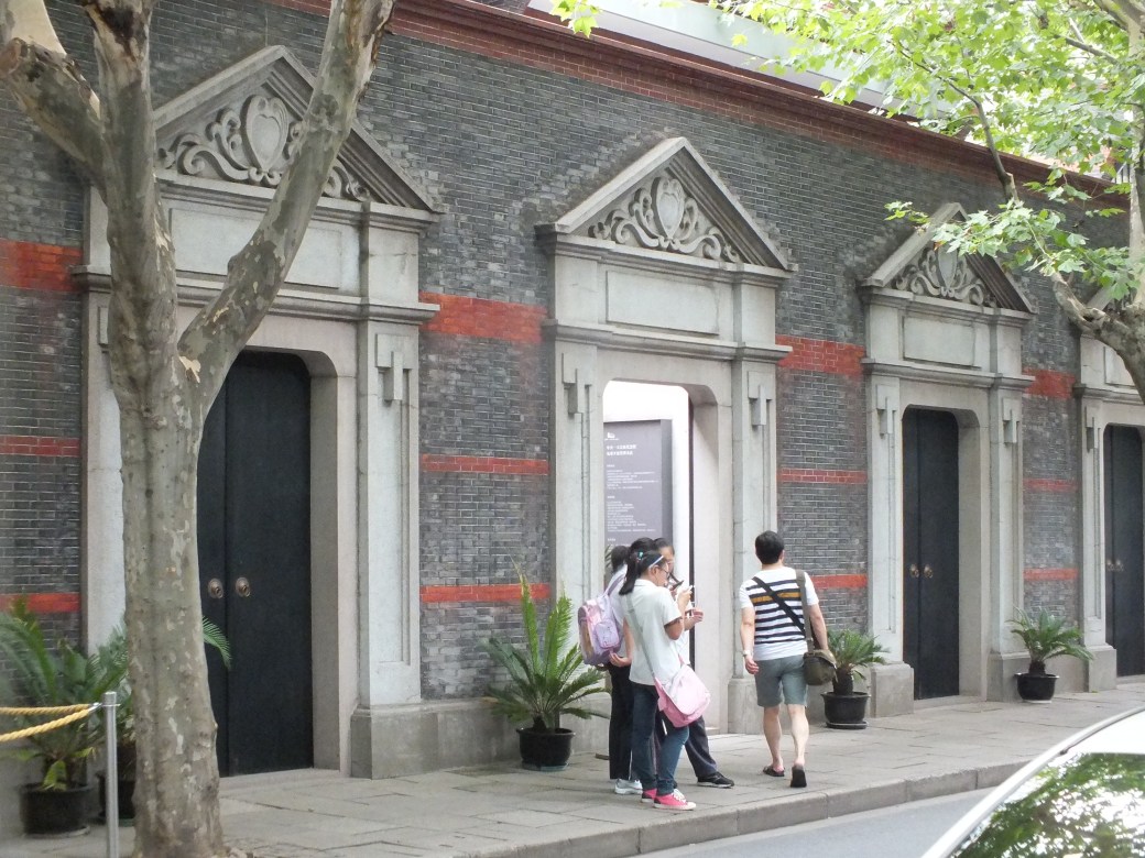
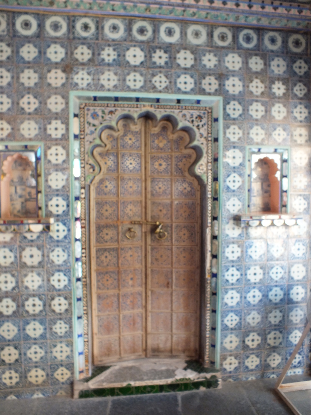
Behind these doors lie modern reconstructions of the humong residence. The humong concept isolates the living area from the street with an entrance room for receiving guests and an internal garden to provide a restful atmosphere.

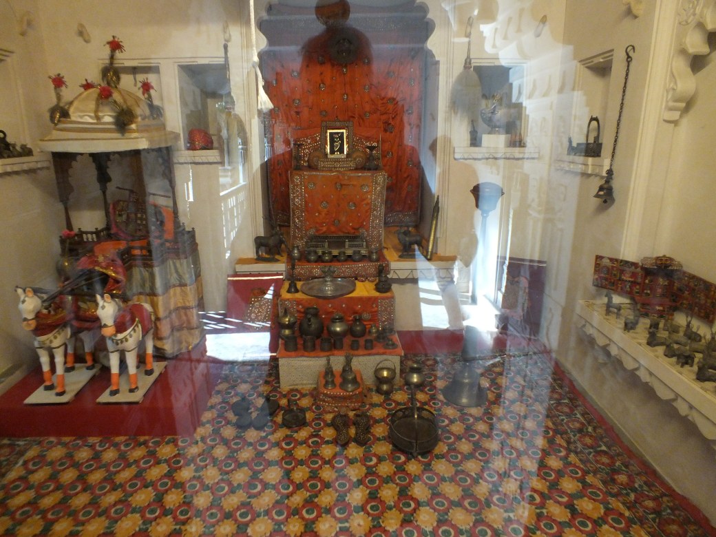
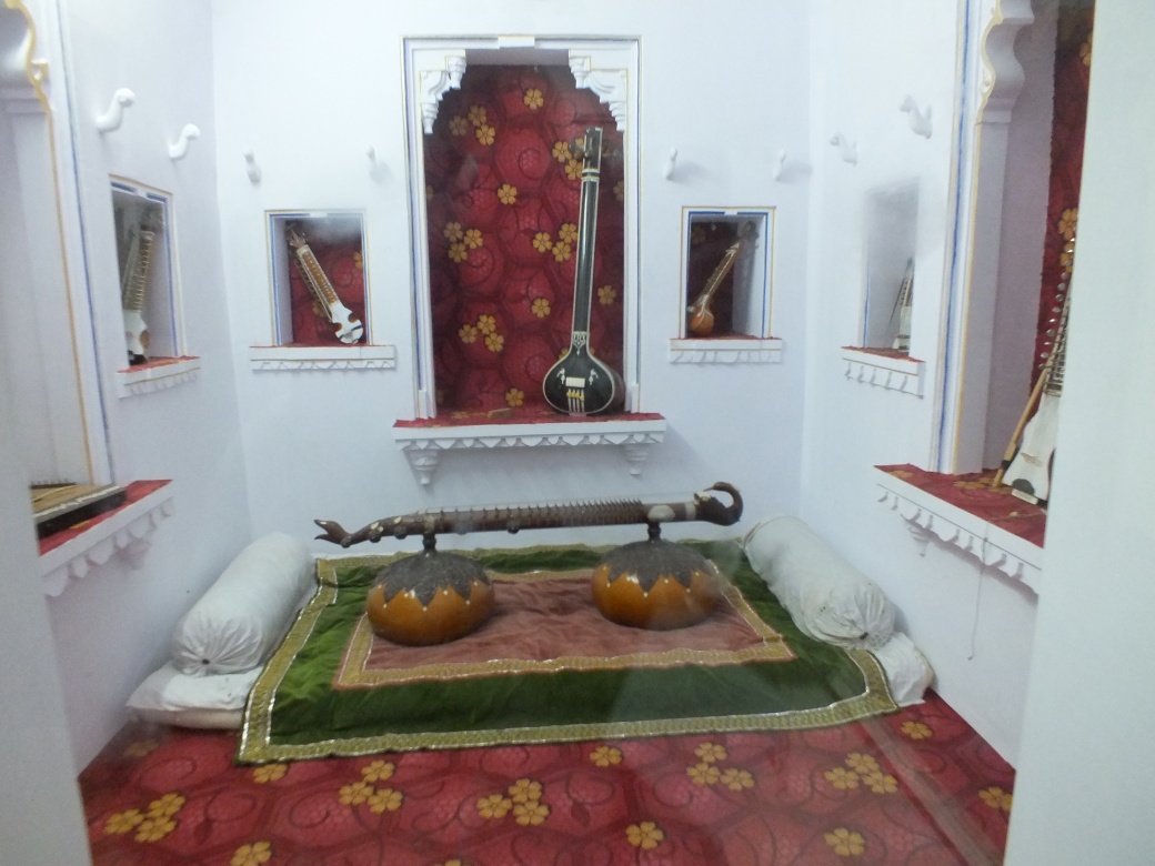
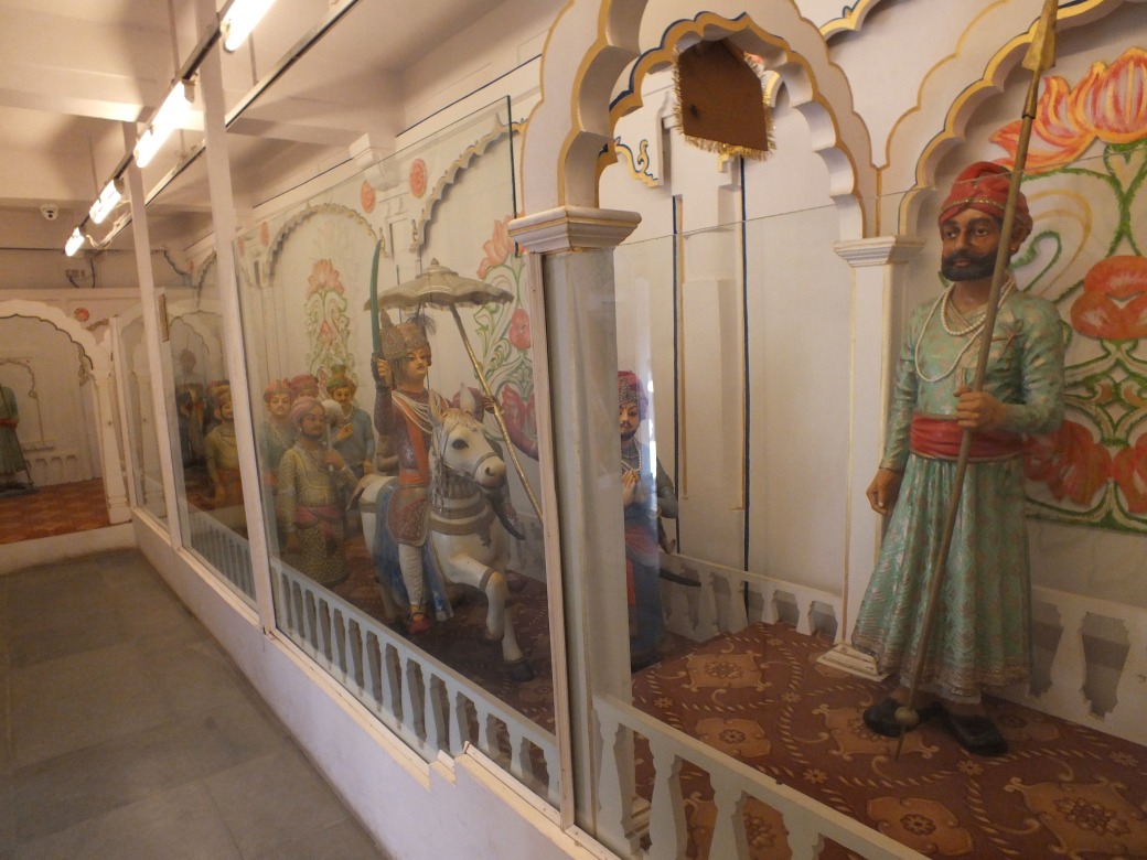
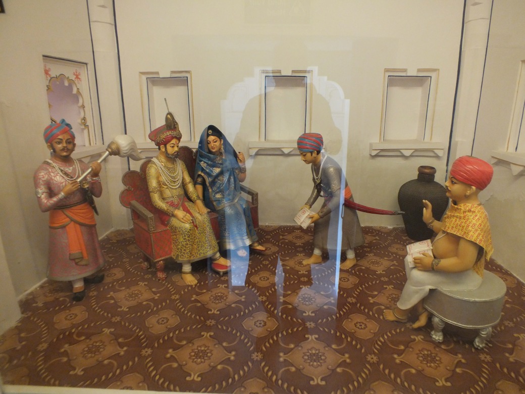
Another priority was the huge, richly endowed Shanghai Museum. Like its Beijing counterpart, the Museum provides an excellent overview of Chinese history, from stone-age artifacts to dynastic landscape painting.
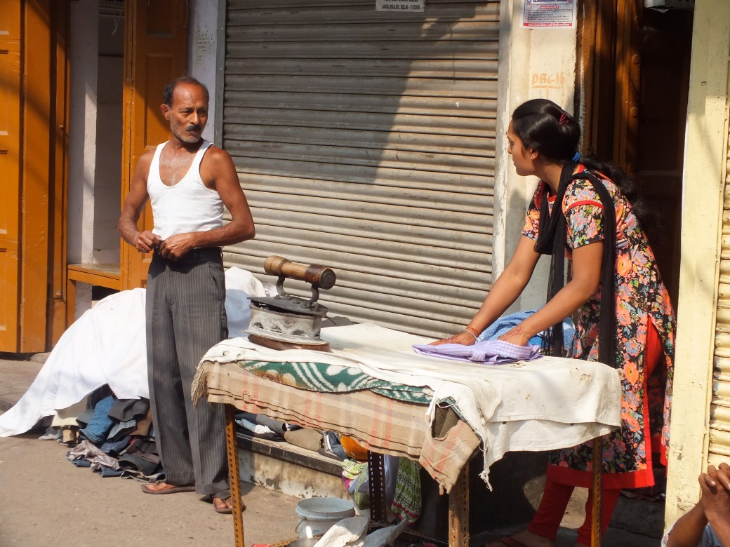
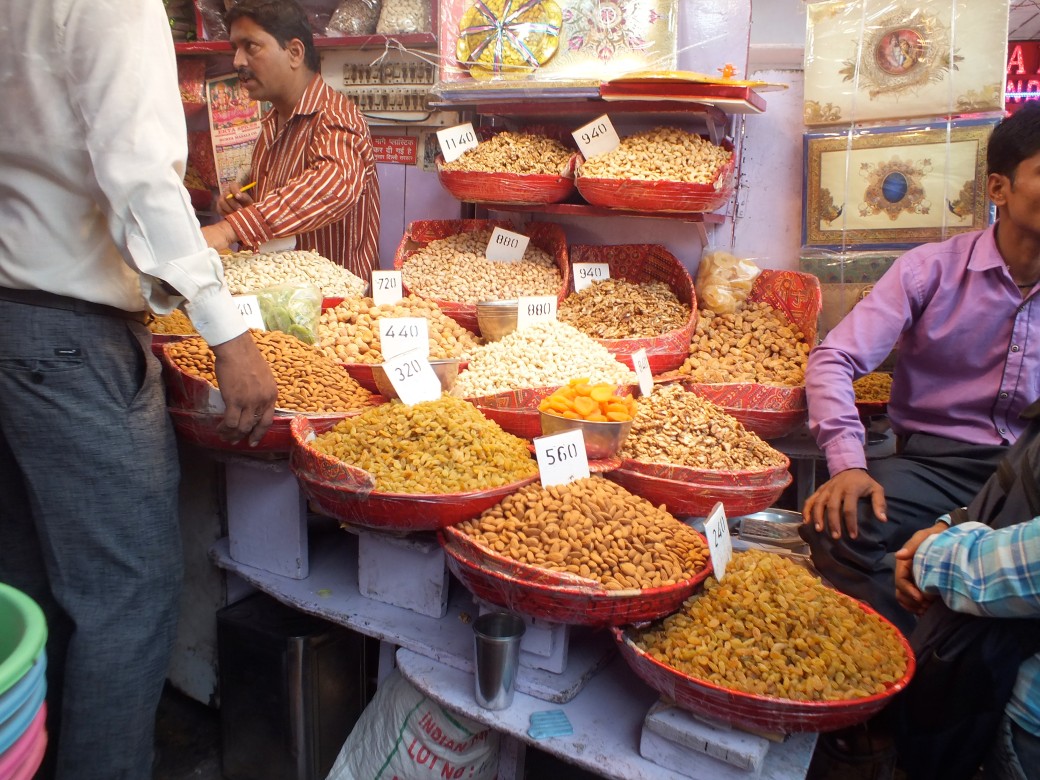
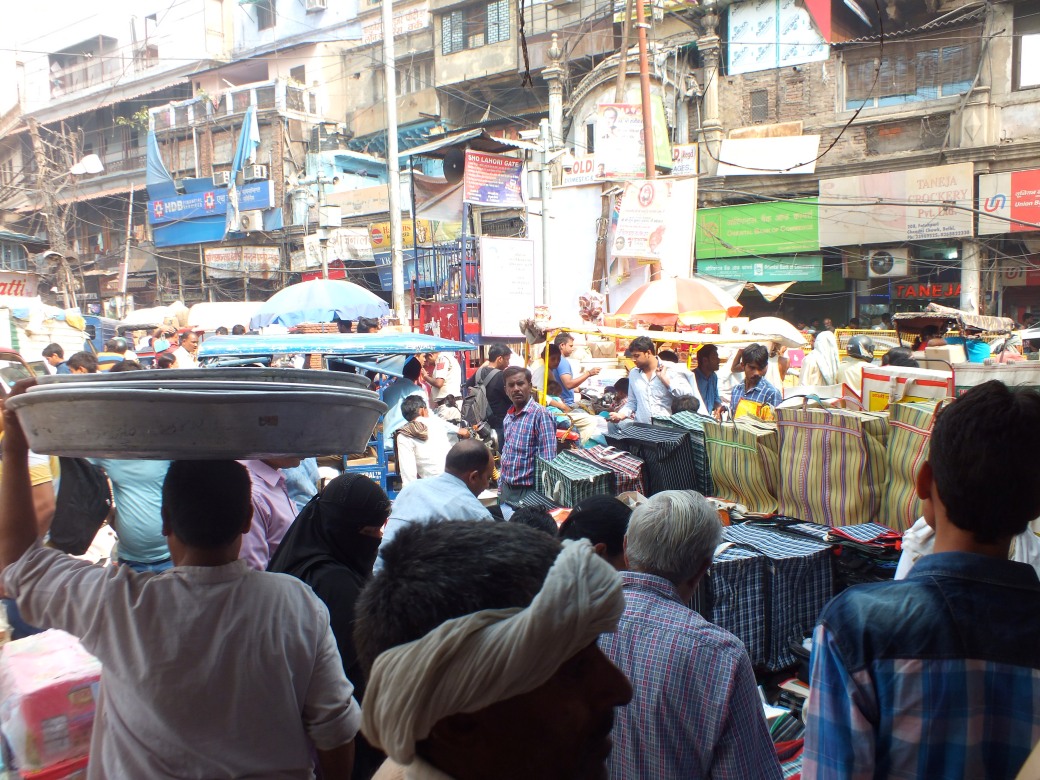
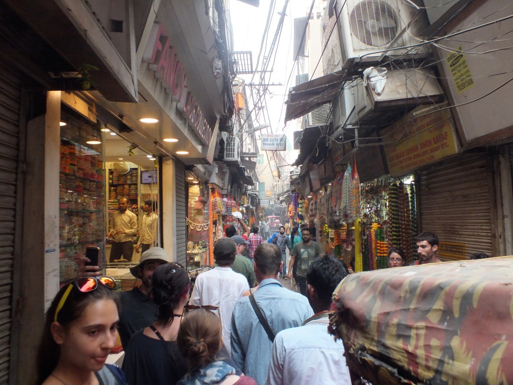
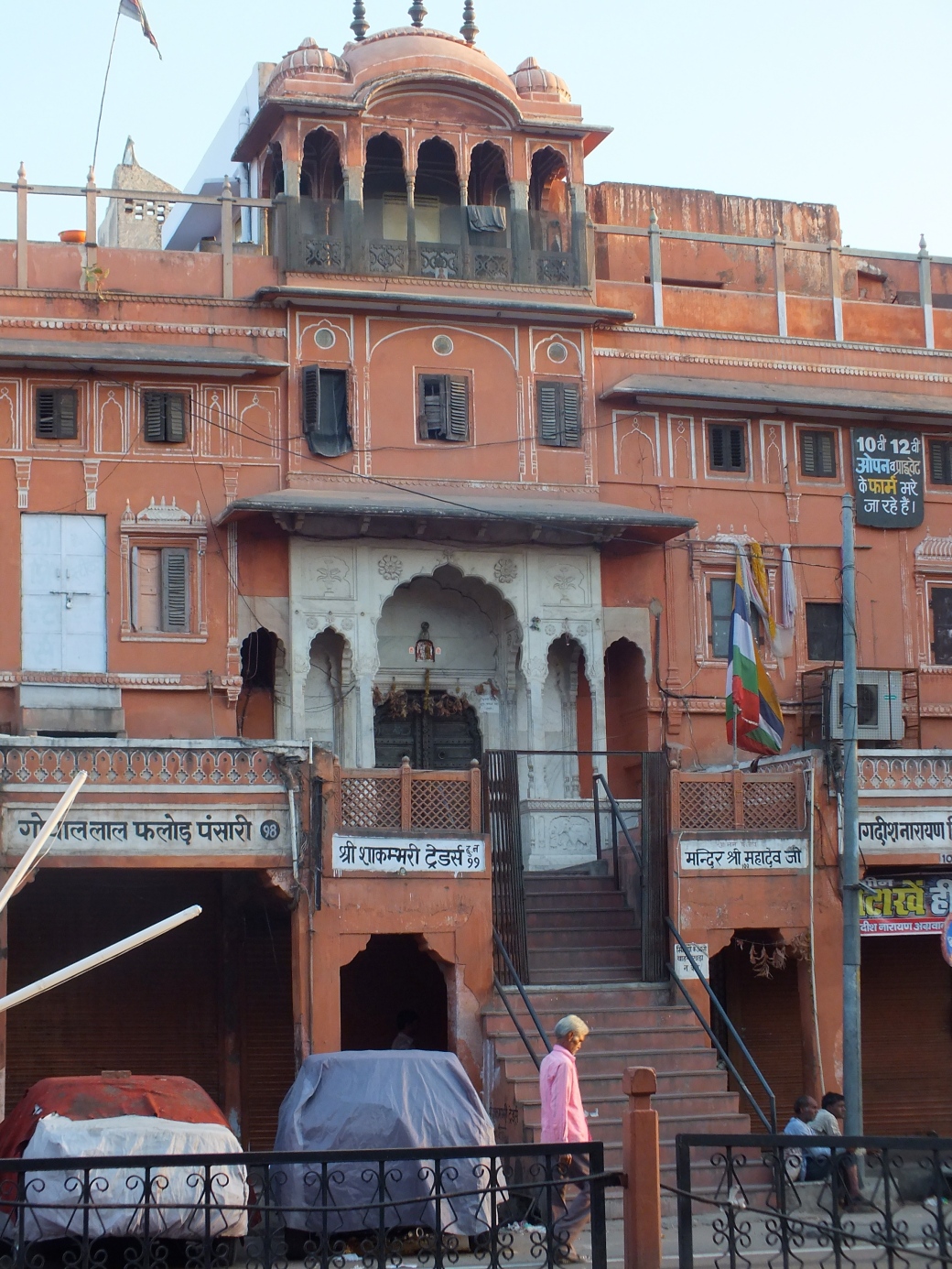
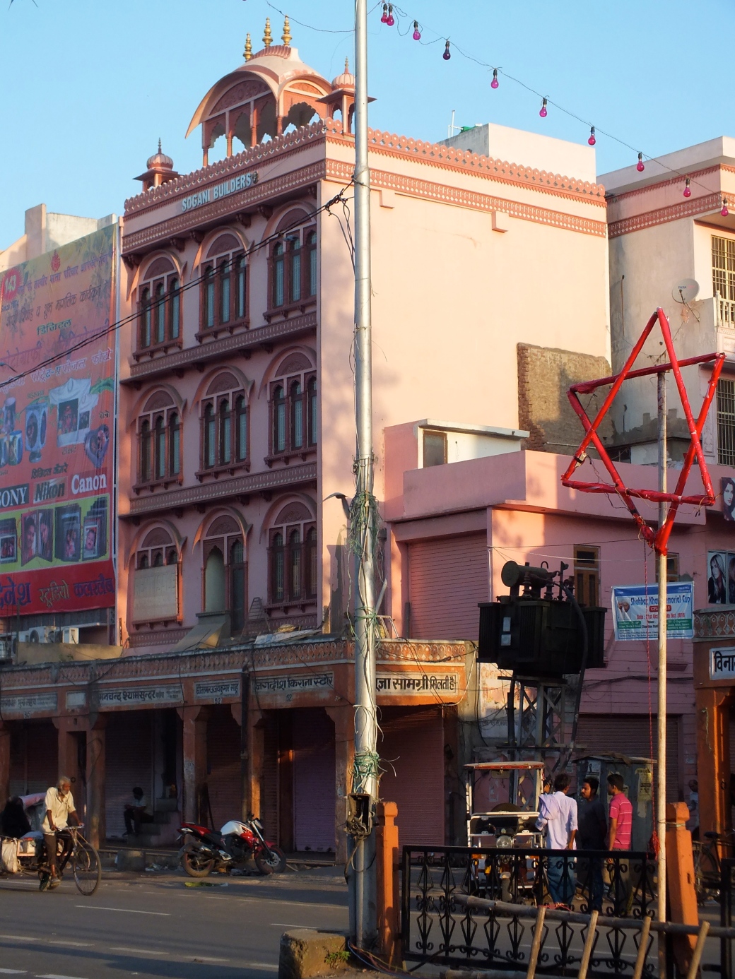
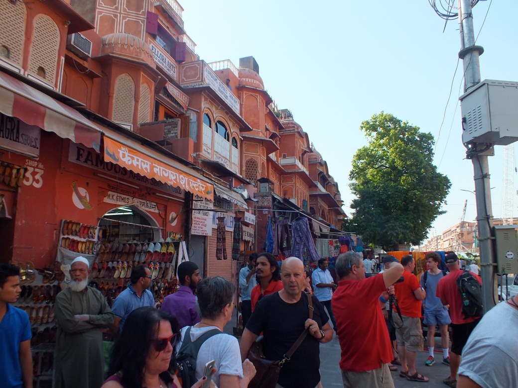
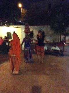
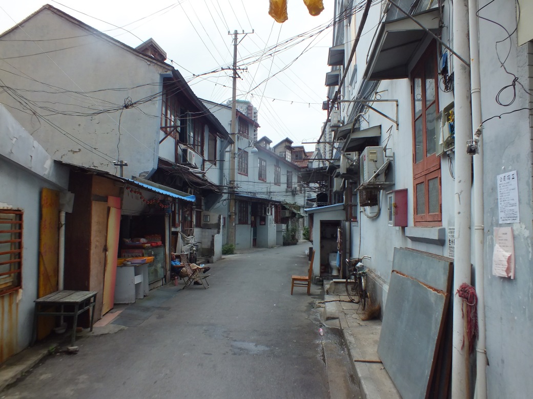
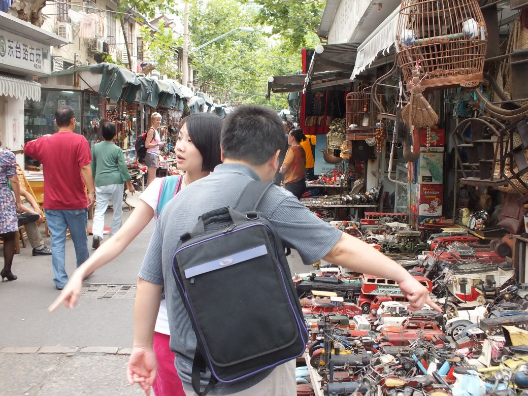
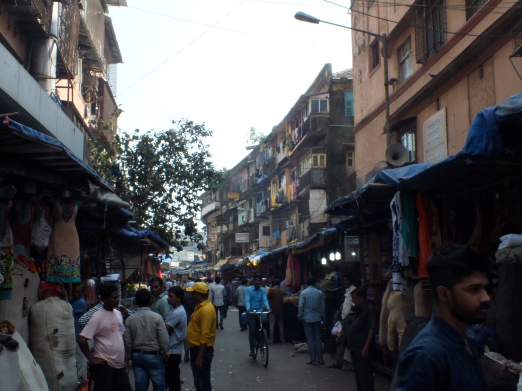
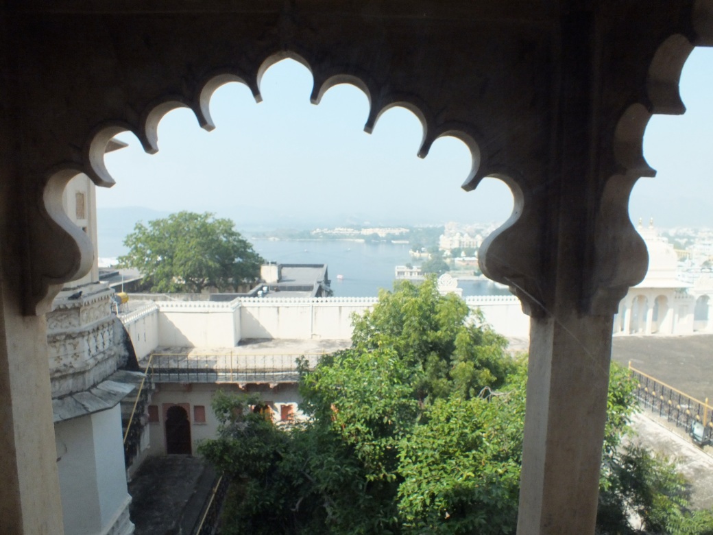
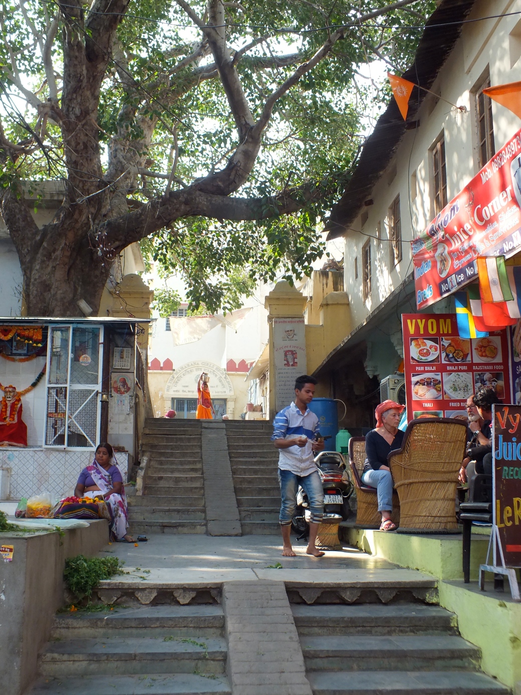
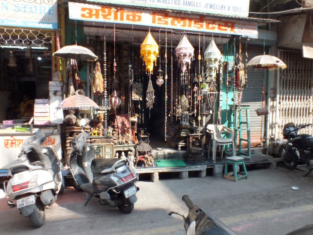
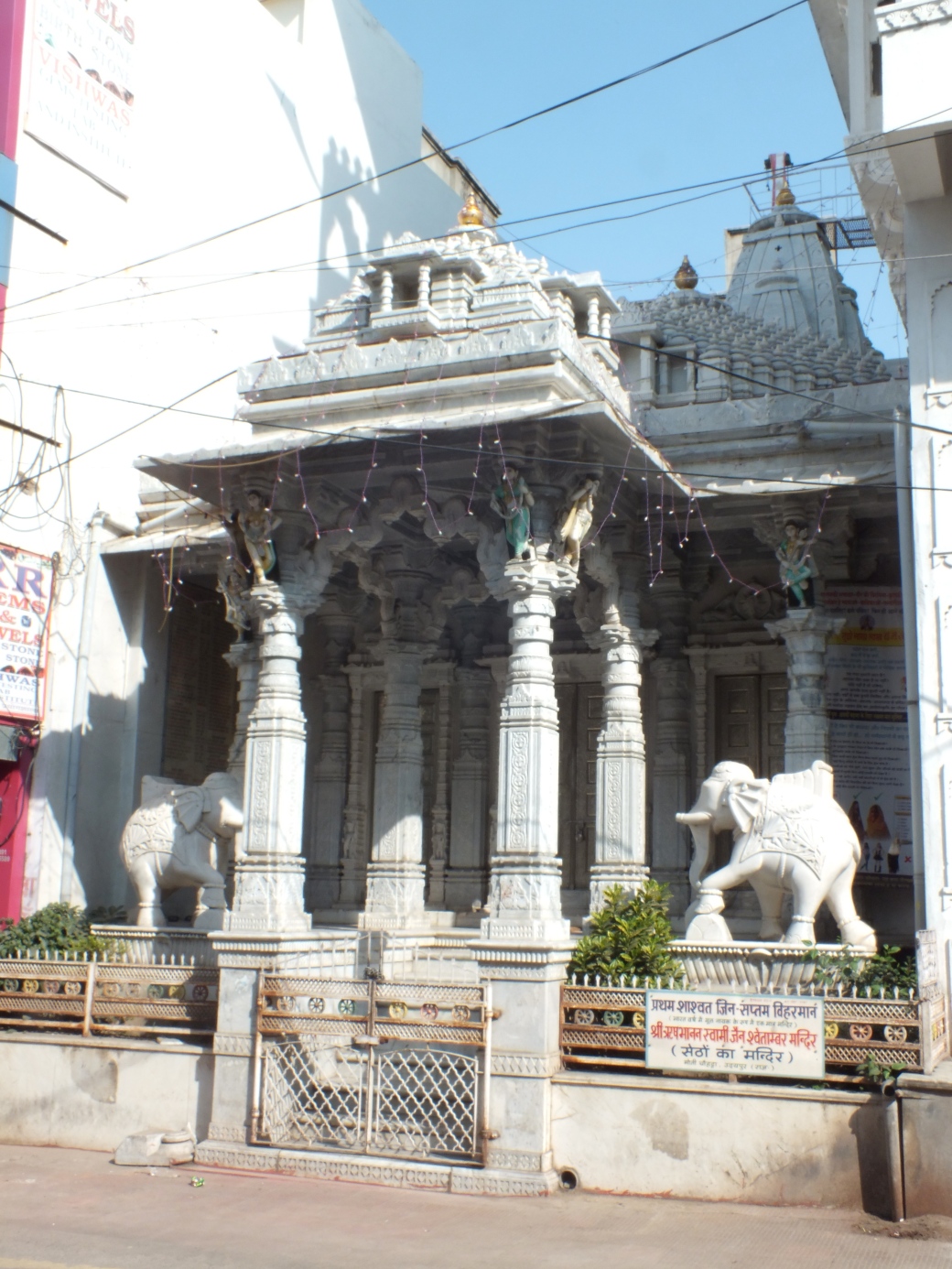
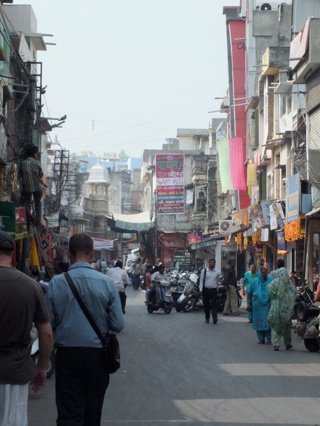
And then there is the living history in the old quarters and lively markets.
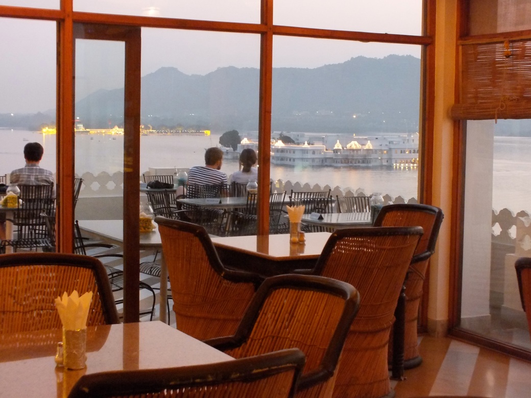
On the way into China and the way back I spent five great days in Shanghai, a city with few if any parallels in the world for creative energy.
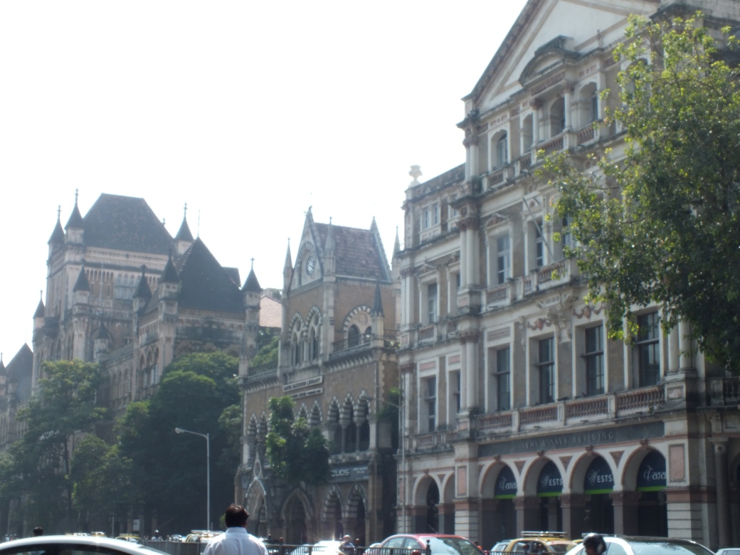
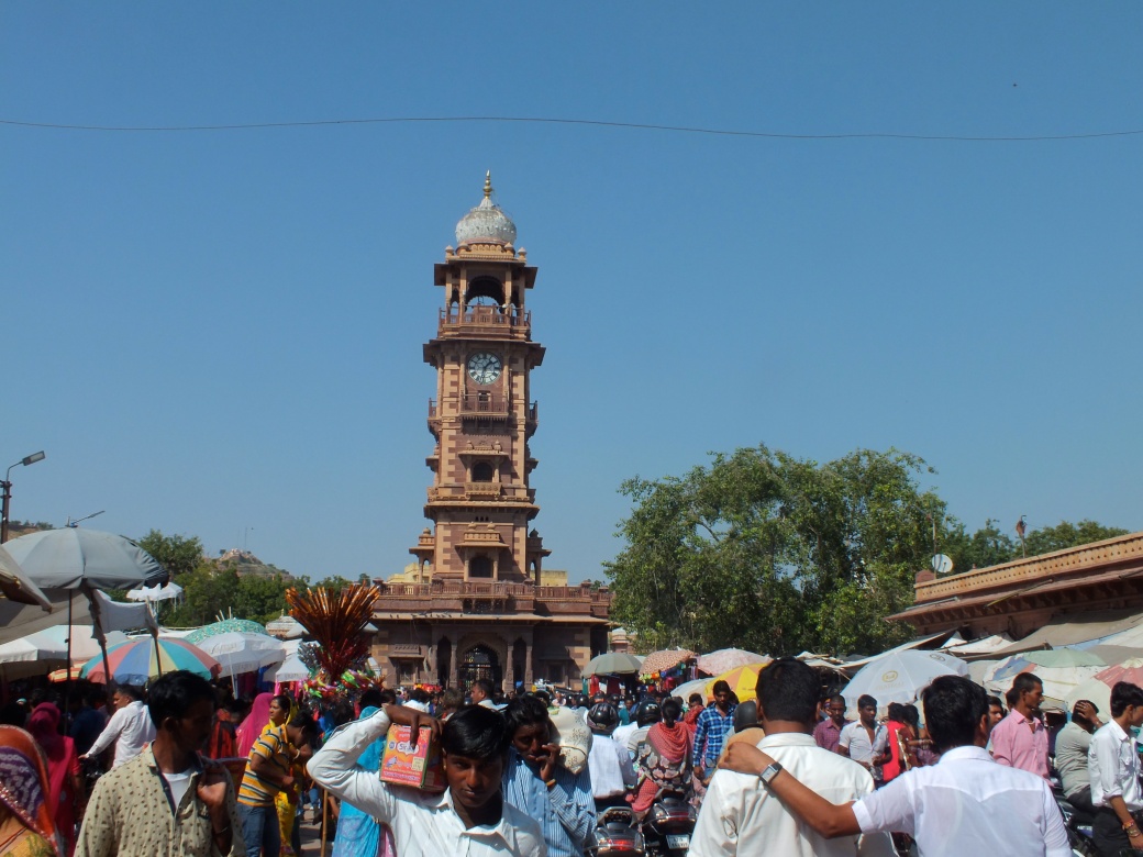
Onwards to X’ian
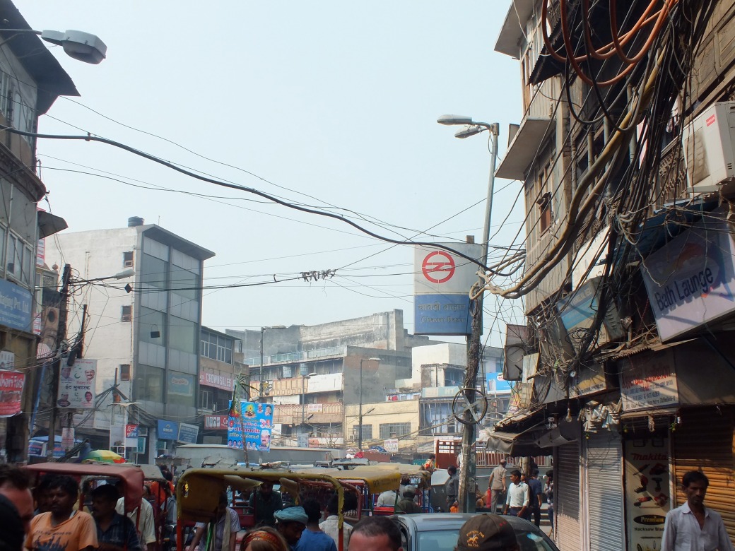
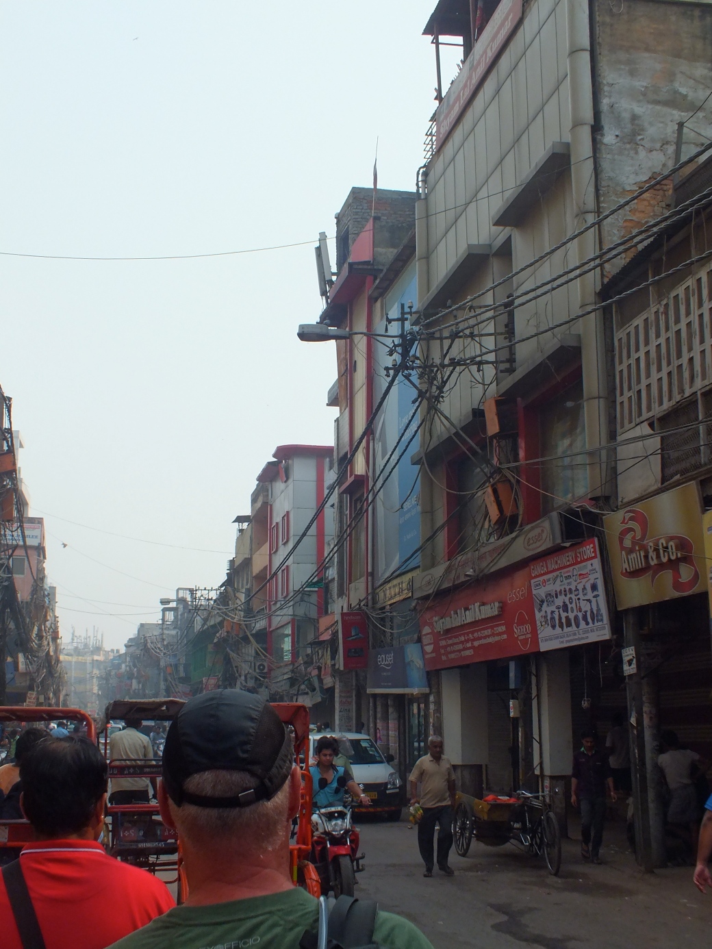
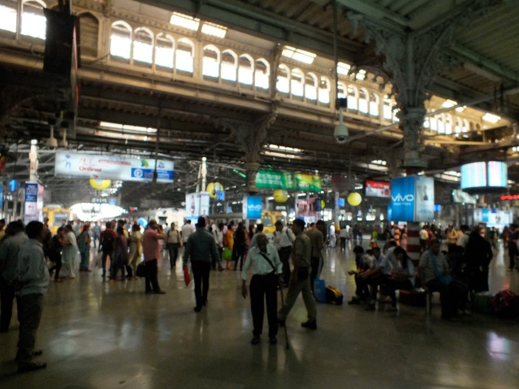
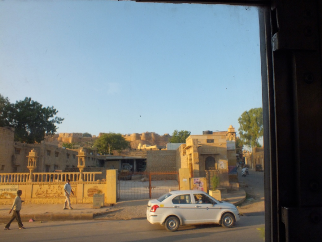
Late one evening I boarded a sleeper on the overnight train to X’ian.
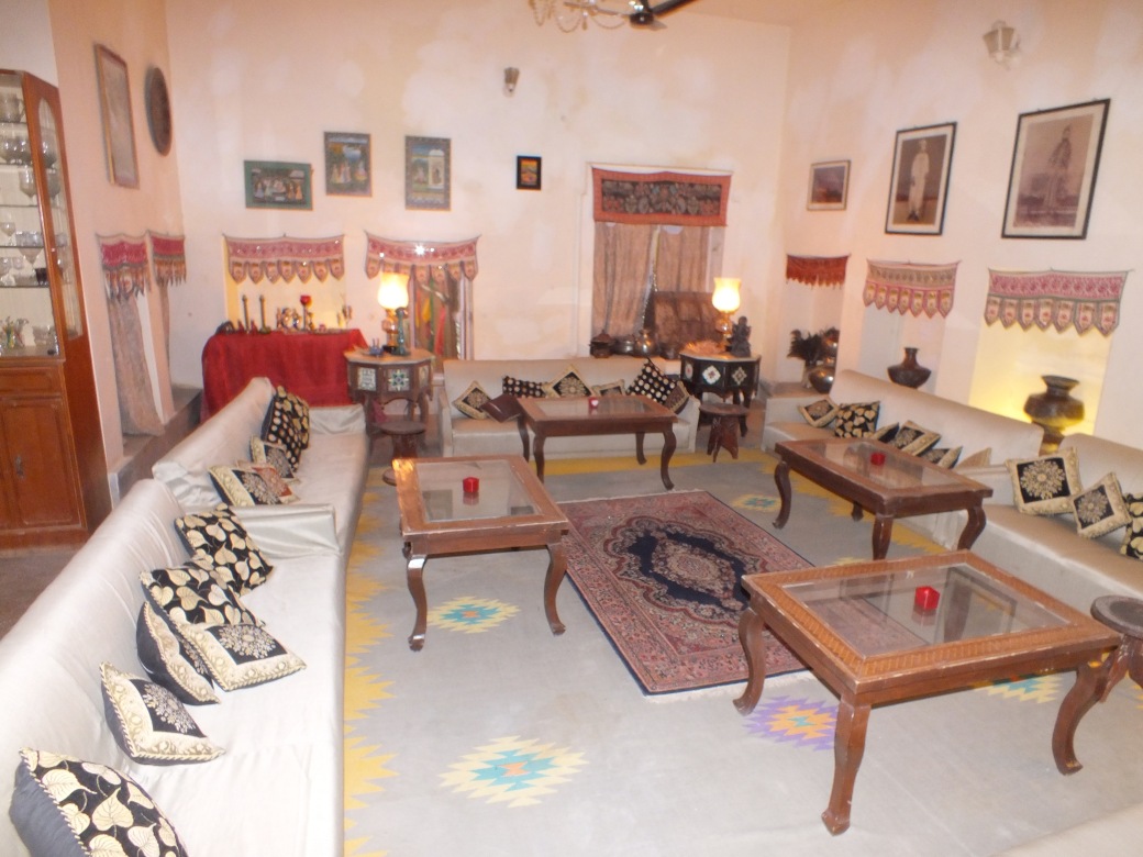
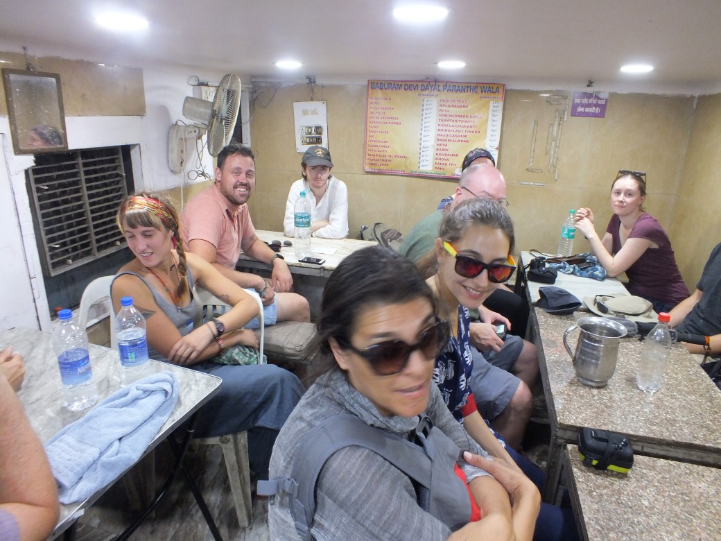
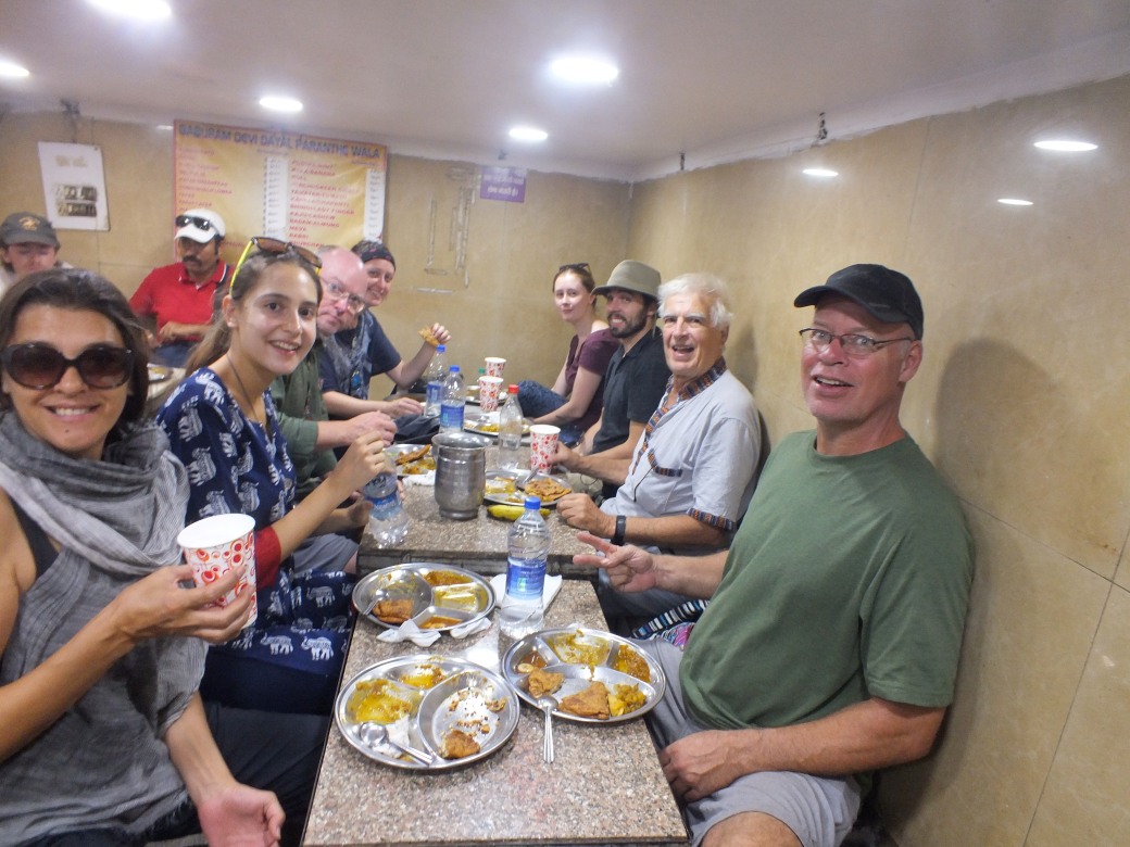
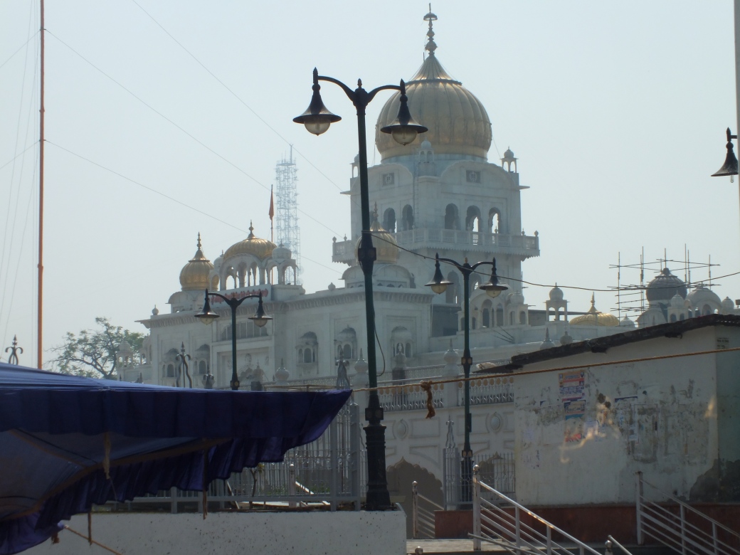
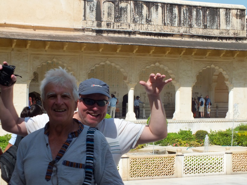
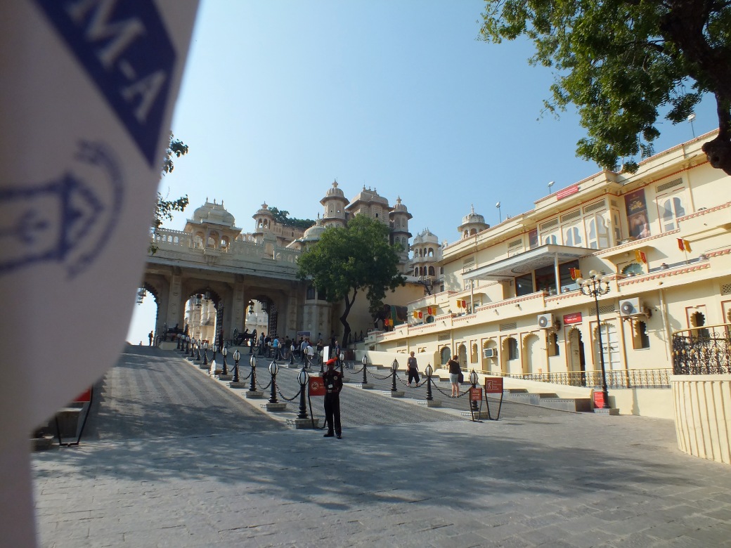
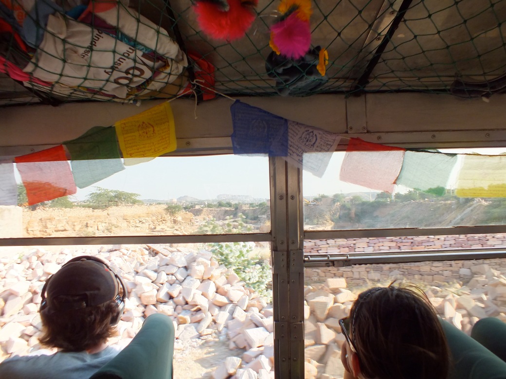
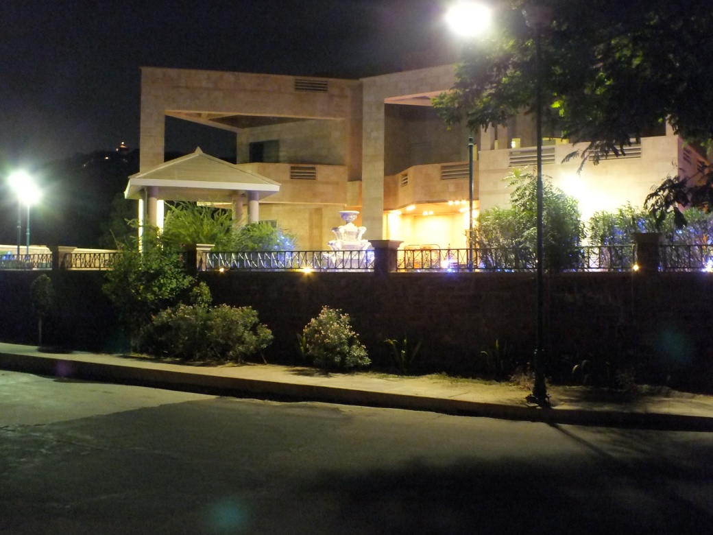
From time to time I lifted the blind to view the passing scenery- sometimes the centre of cities, sometimes the rough terrain, typically deep-set rivers gouging tablelands. On arriving, noonish, I faced the task of finding the meeting point for the Dragoman group- a hotel in the ‘New City’ some distance from the station according to my rudimentary map. Though there seemed to be a subway system, and I had some information about bus routes, I soon succumbed to the tourist stand-by: a solicitous cab driver. With some empty promises of future business, he got me where I needed to be, a surprising four-star ranch-style hotel with a large Chinese garden. Right away I linked up with a couple of fellow travelers for lunch in an earthy alleyway diner across the street. Kelly and Ariana had already met and done some exploring. They were to become favorite companions for the rest of the trip. After our introductory meeting in the evening, the whole group went to a fancier dumpling joint in the New City for dinner.
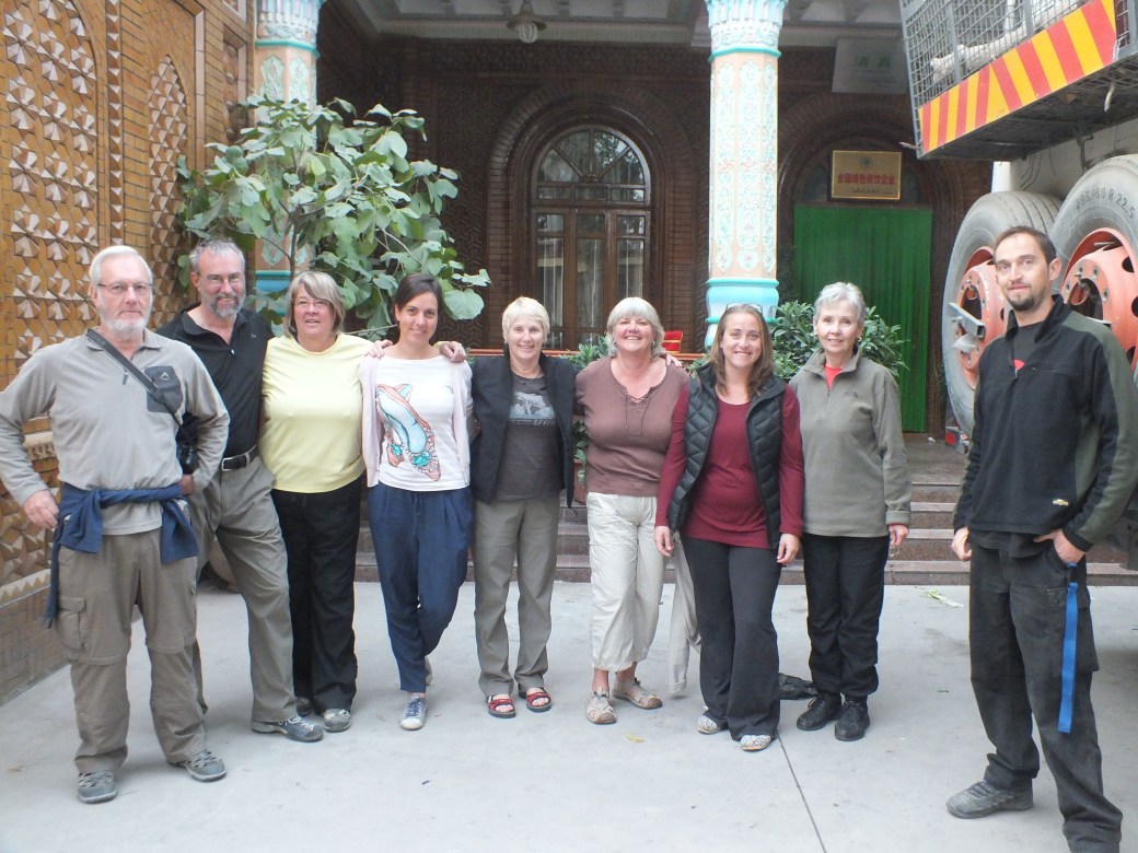
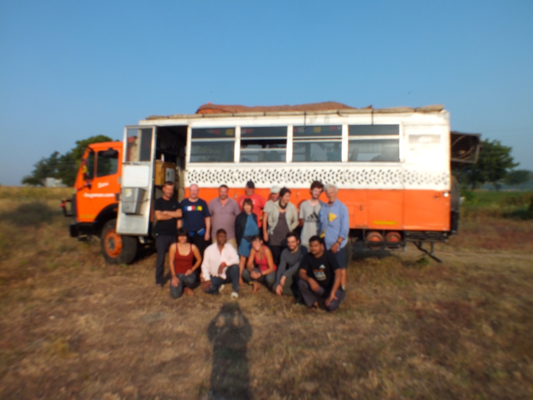
We were a diverse bunch: in order above, Graham, semi-retired businessman from Devon; Tom and Janet, retirees from Revelstoke; Ariana from Heidelberg; Marian, recently widowed, from New Zealand; Susan, a teacher from Collingwood; Kelly, defence contractee from New Jersey; Sandy, government librarian from Washington D.C.; and Dennis, from U.K., our driver/mechanic and husband of our leader Jody, from Toronto and interior BC. Jody and I, the other Dennis, were missing in the group shot.
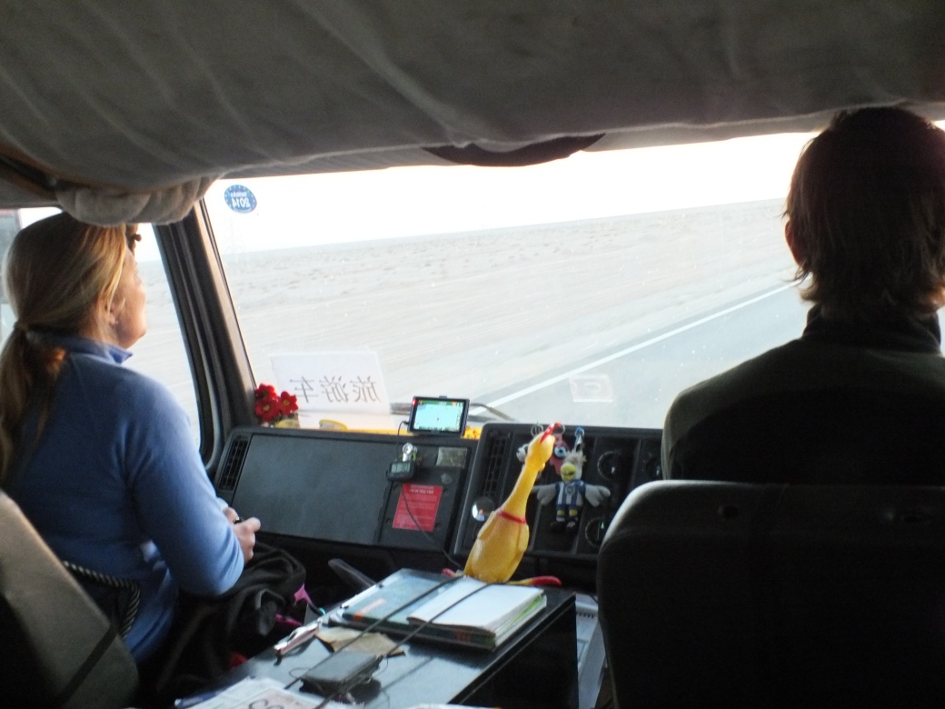
Jody and Dennis in their office
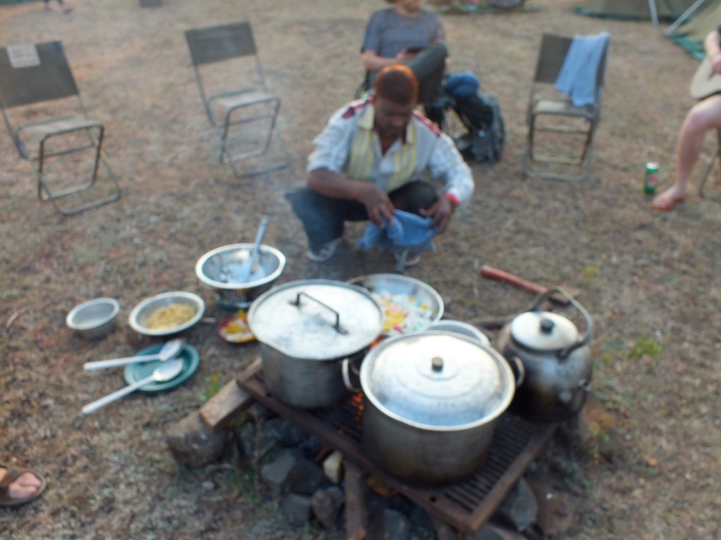
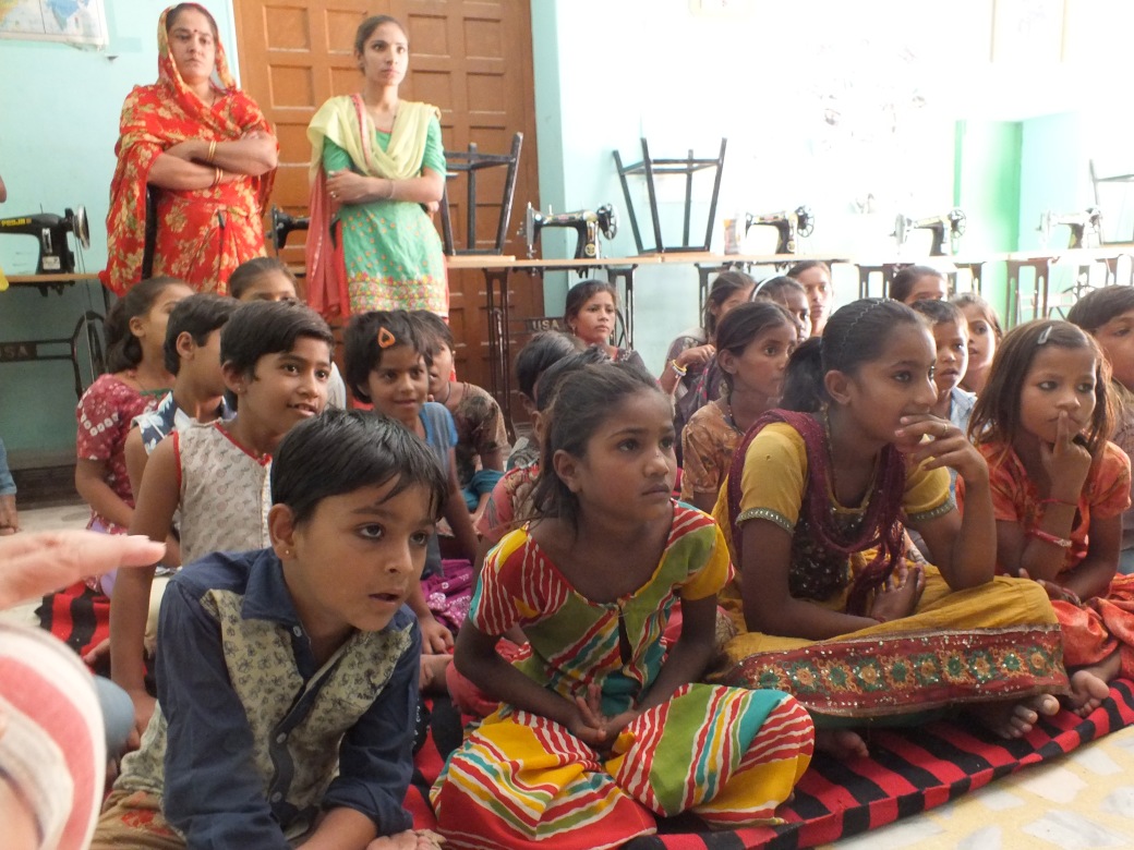
We also had a Chinese guide, a young woman from Chonqing assigned by a government agency. she’s at the stove in shot below.
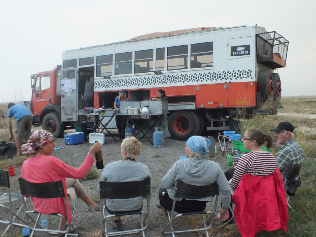
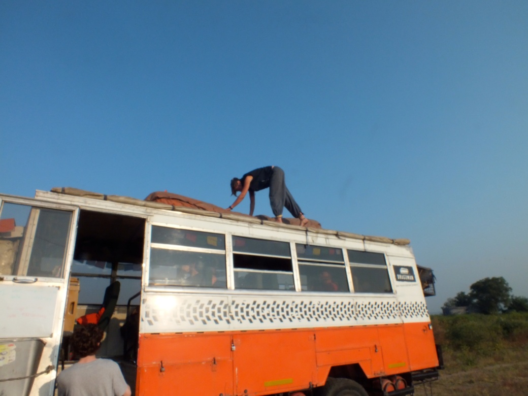
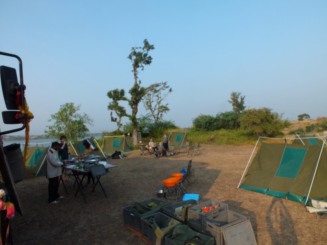
The real star of the trip was Aziza, our ‘truck’ (not a ‘bus’: verboten!), my home for the next three weeks. A Mercedes truck frame welded to a bunch of seats custom made by Dragoman, which has something like 60 of them rumbling around the world…
Graham was to be my bunk-mate- but not so on the first night. He was busy trying to track down his luggage that got lost in transit. His airline denied he existed. By accident was assigned another room. Graham was doing the whole trip to Istanbul as a break from some entrepreneurial business, though his story seemed to change without end. When I left the trip 3 weeks later, he still had not received his luggage, so during my trip he wore a miscellany of borrowed gear. We got a long quite well eventually. Tom and Janet were going to Bishek then to a trek in Nepal (subsequently washed out by monsoon). Kelly was filling loose time because her employer, the US Defence Dept., was completely shut down by one of those political budget battles. Sandy was fulfilling a dream of traveling the Silk Road, about which she had a vast store of knowledge. Marian was traveling to Spain where she had friends and maybe meeting a son there. Dennis and Jody met on a previous Dragoman trip somewhere. Jody, a fascinating person, had managed rock groups and other things before deciding to travel. They, Sandy, and Marian would be on the truck for the next 98 days! Susan? Don’t recall her story- between jobs I think.
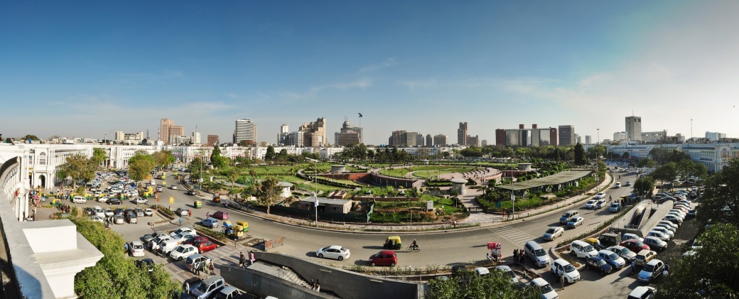
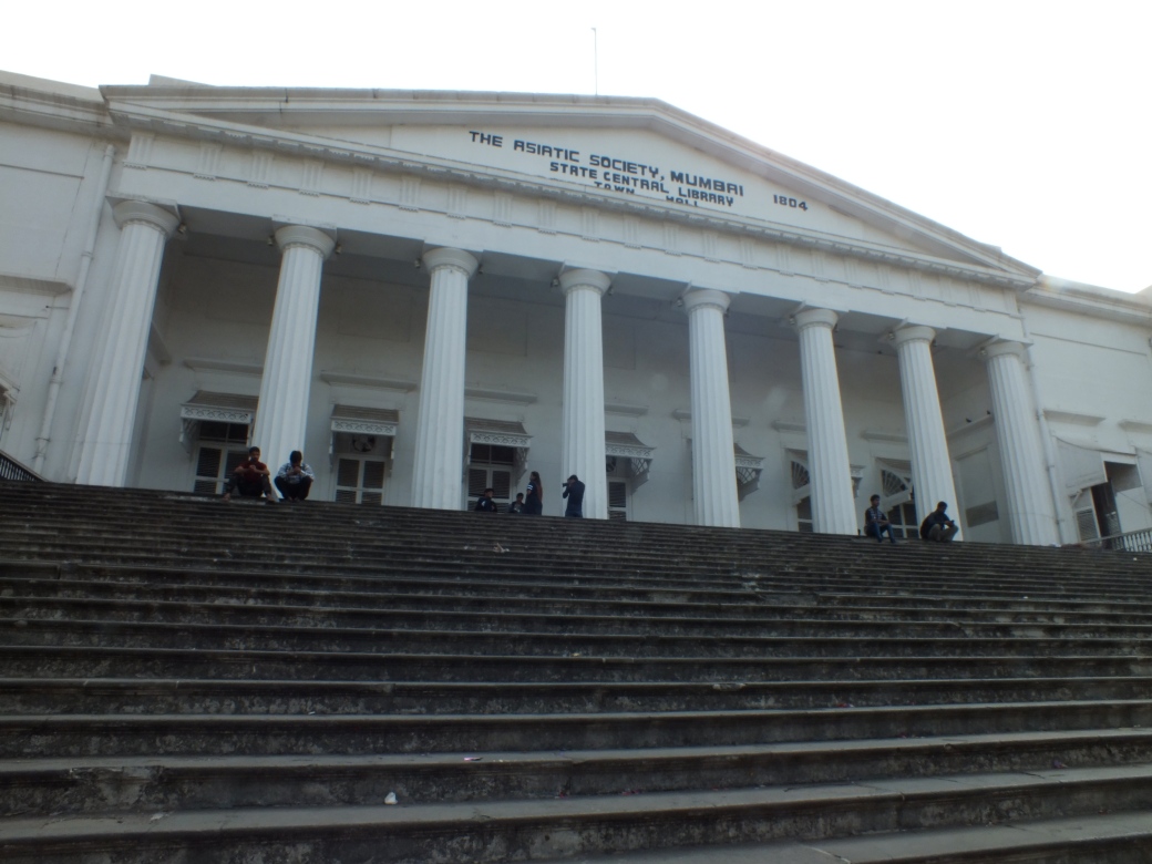
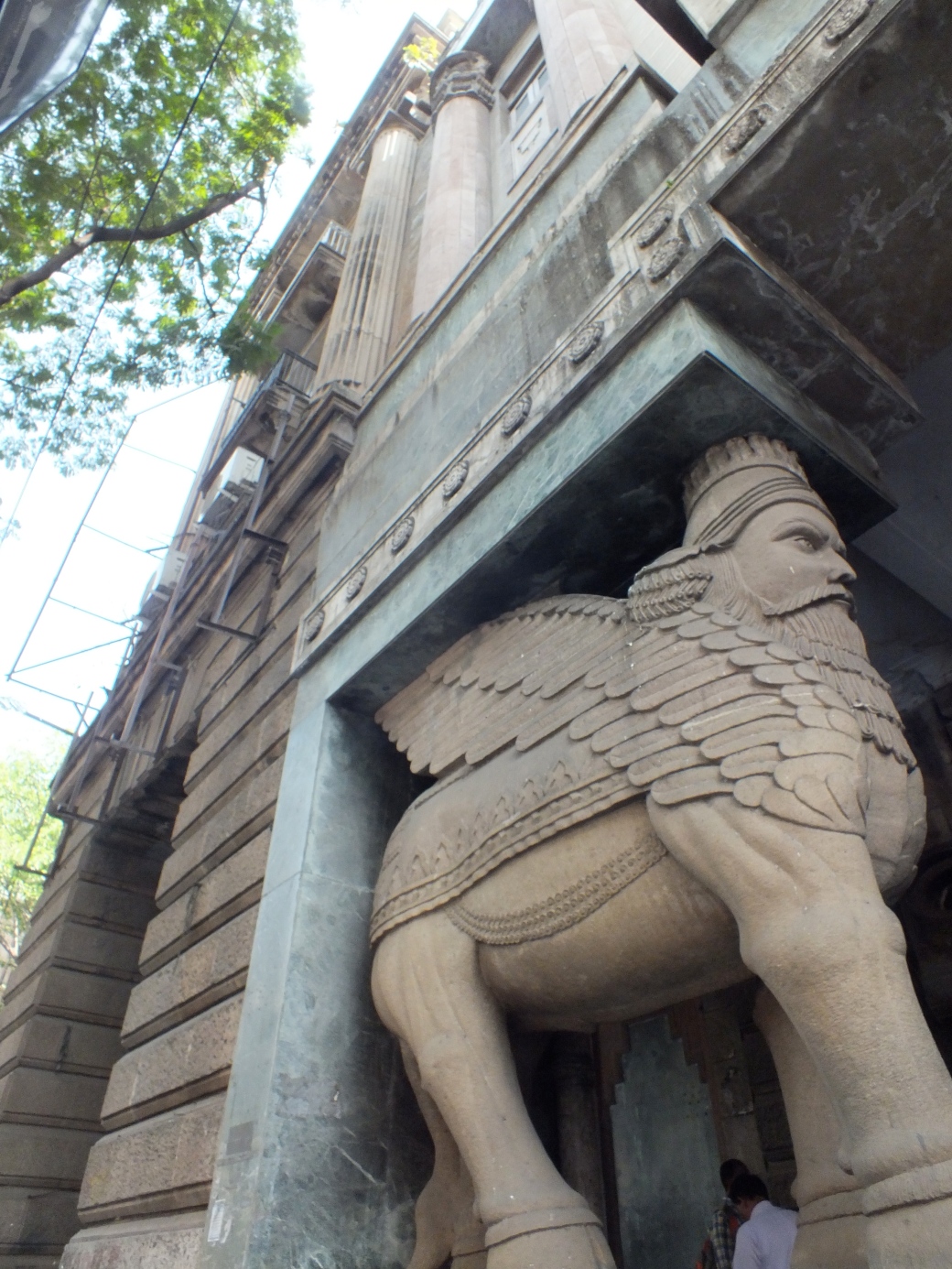
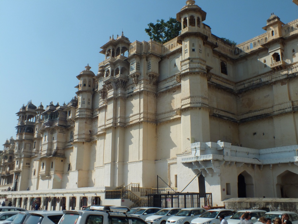
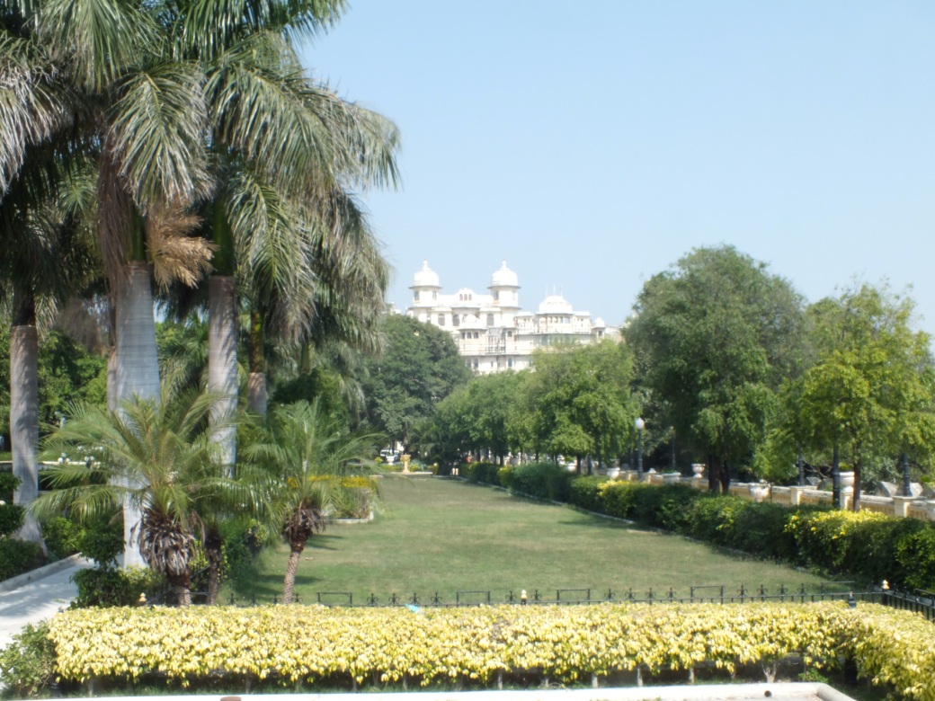
| XIAN | ||
(courtesy Wikipedia) |
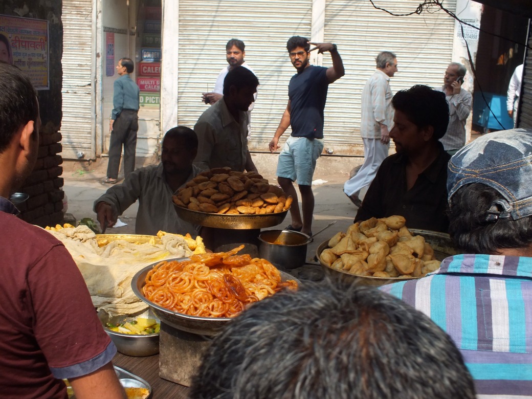
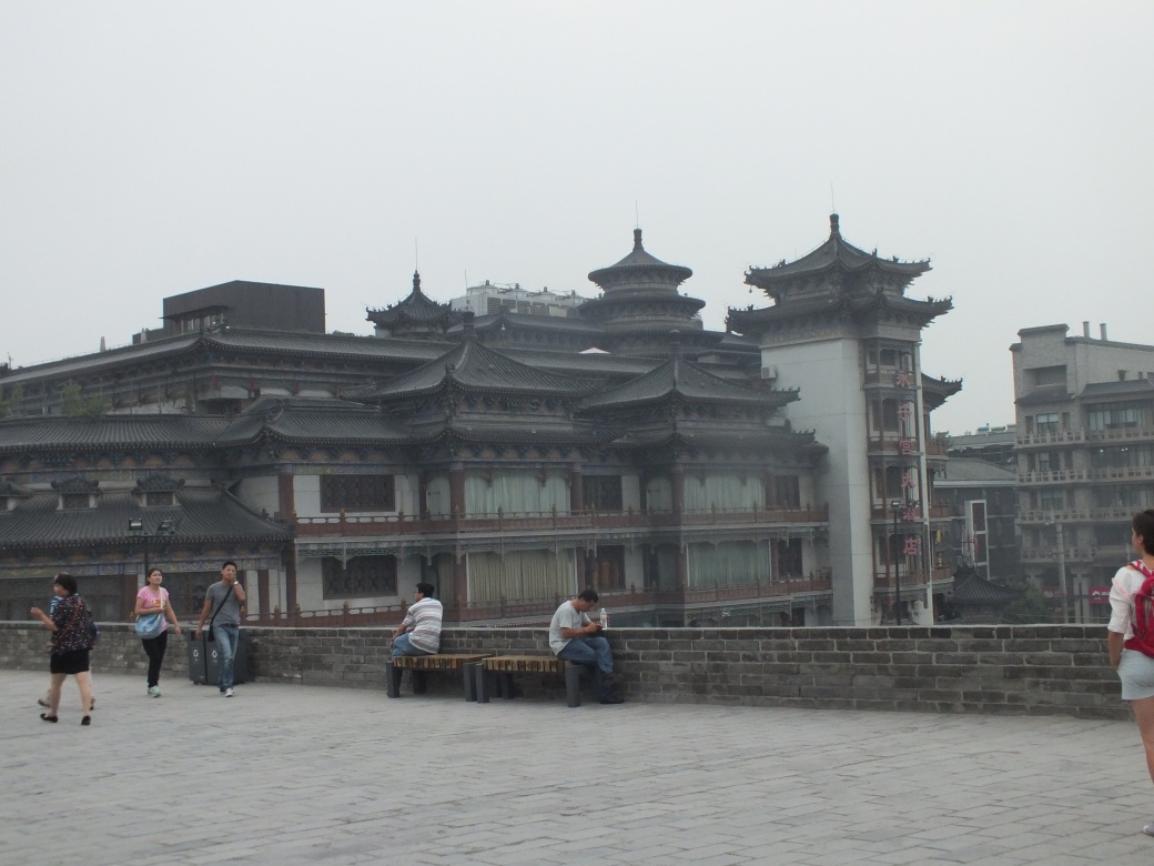
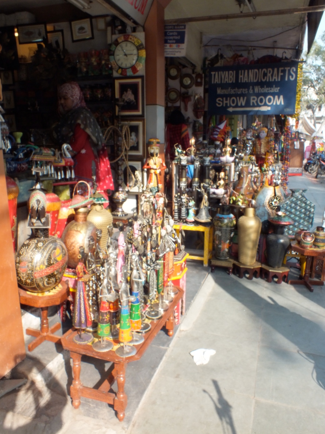
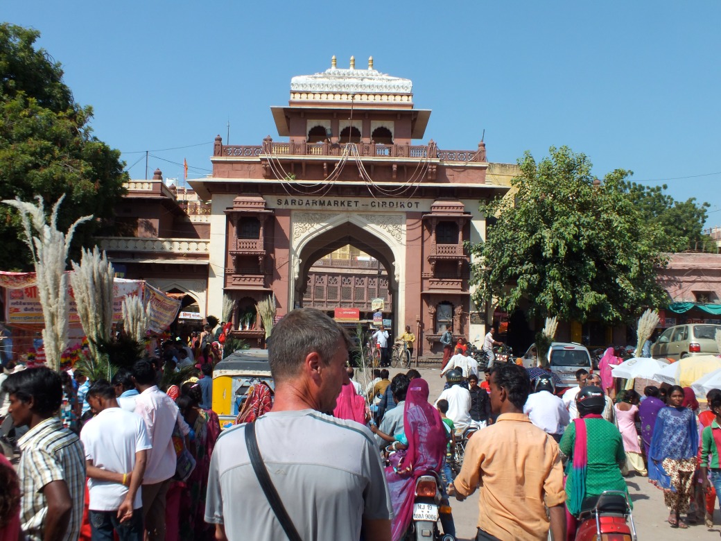
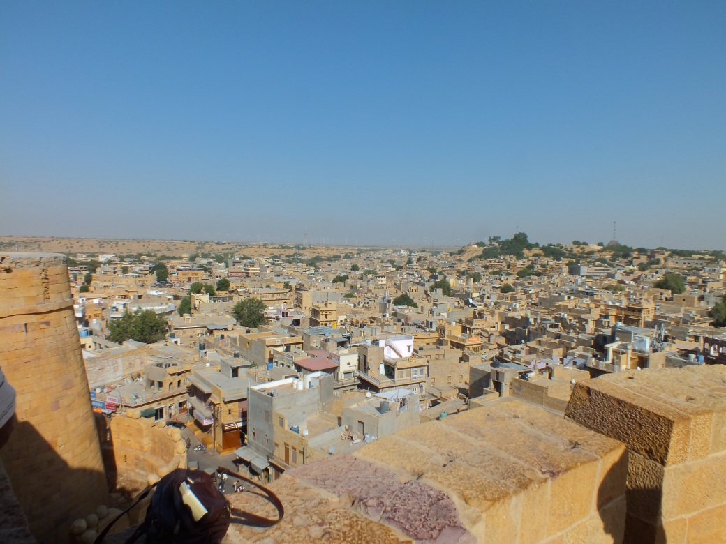
After dinner Ariana, Kelly and I jumped on a bus for downtown. We rented some bikes atop the huge city wall and wheeled its whole length, 12 km!
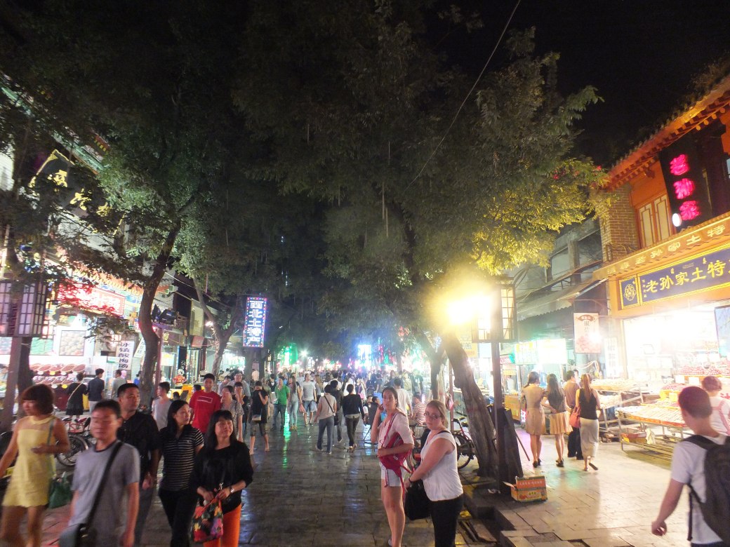
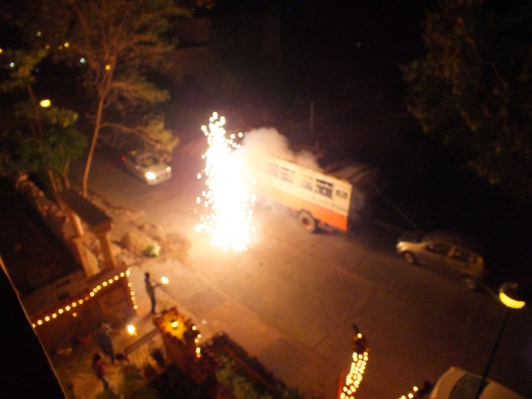
Later we wandered the market, picking up some tasty wraps. As we headed for the bus ‘home’, we were mystified by long kite-strings, perhaps two dozen surfaces, suspended in the night sky; I bought a small one.
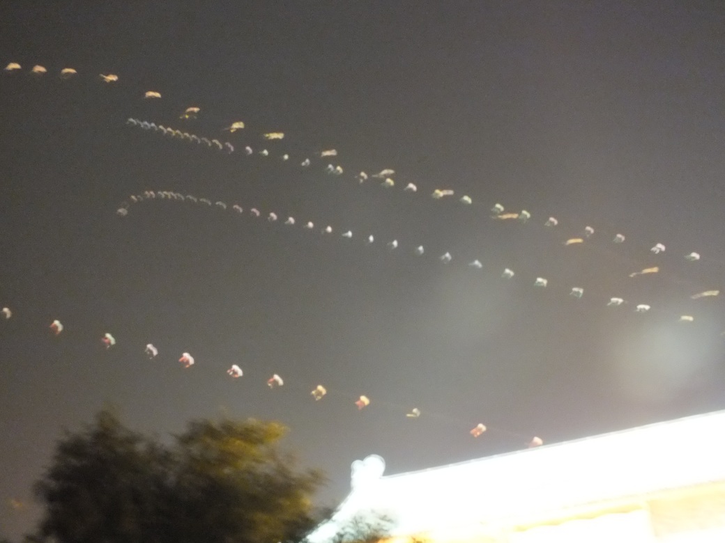
A wonderfully warm, really memorable night, an excellent start to our trip.
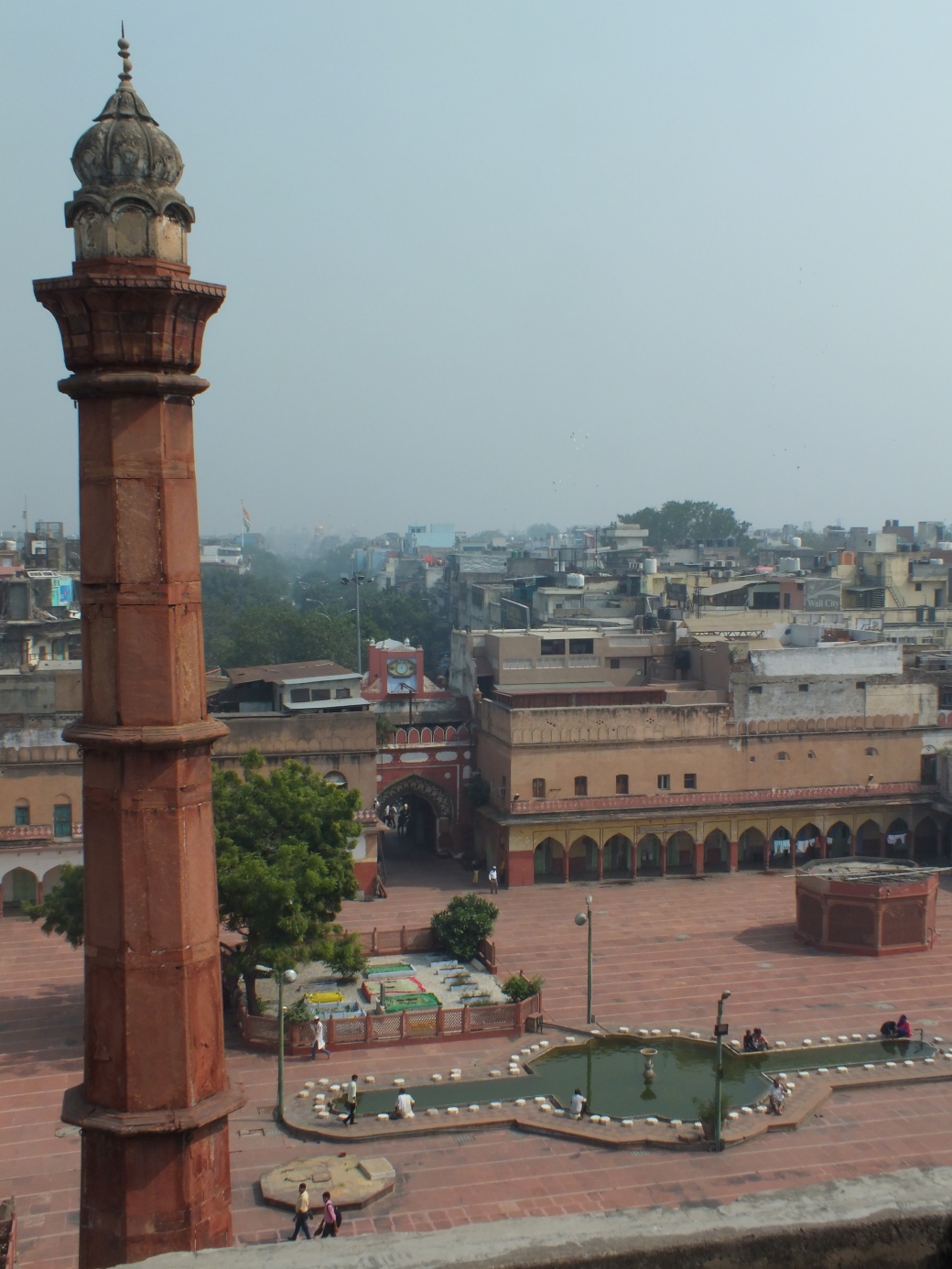
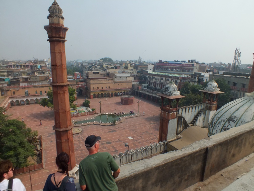
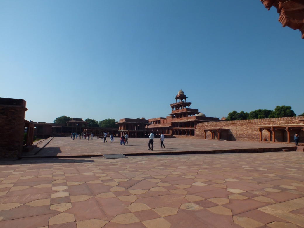
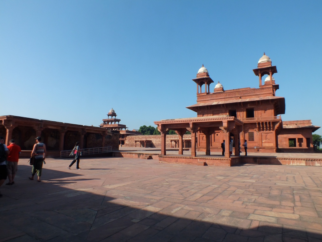
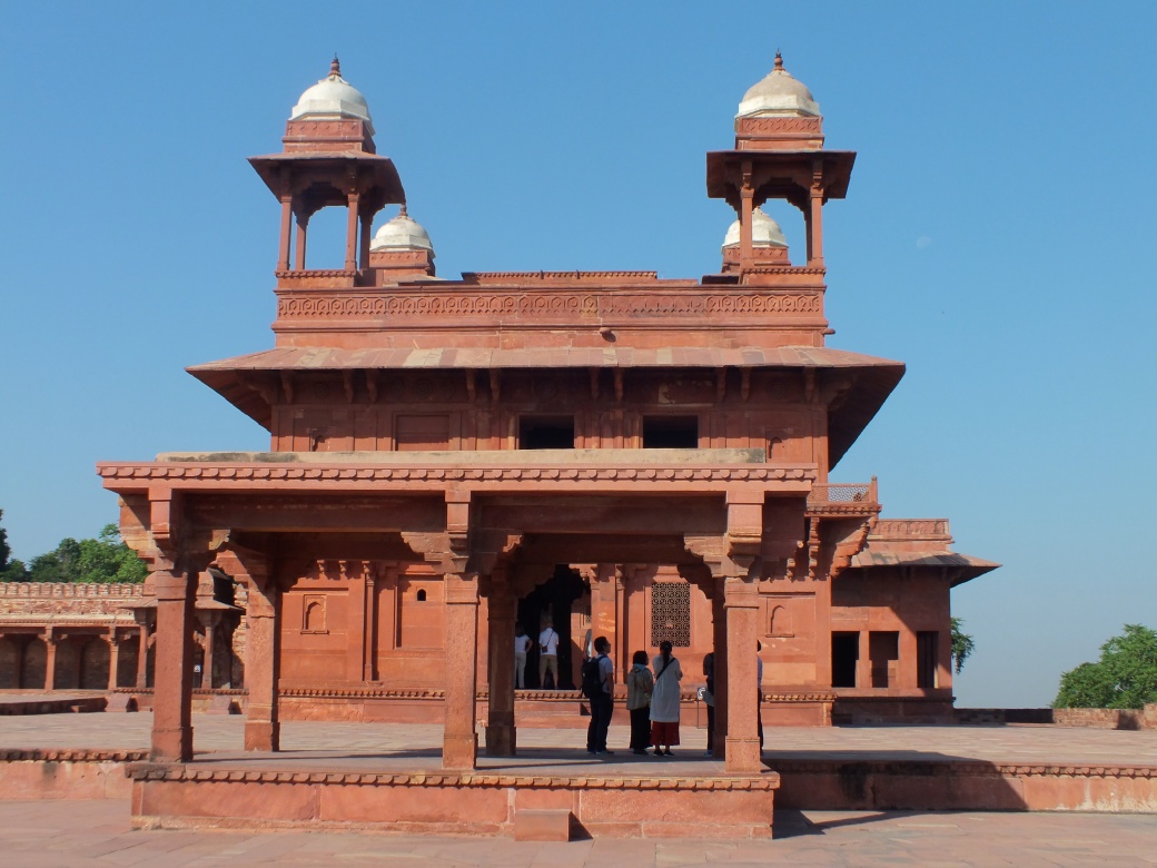
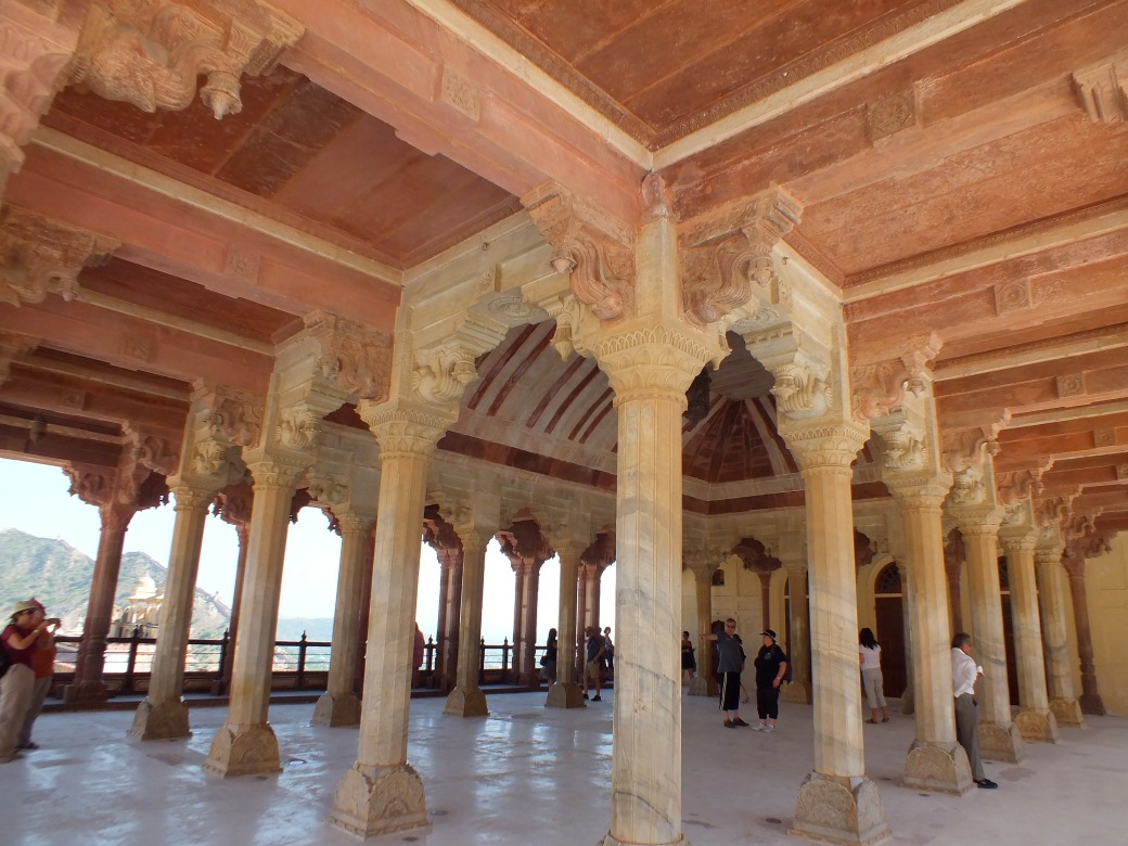
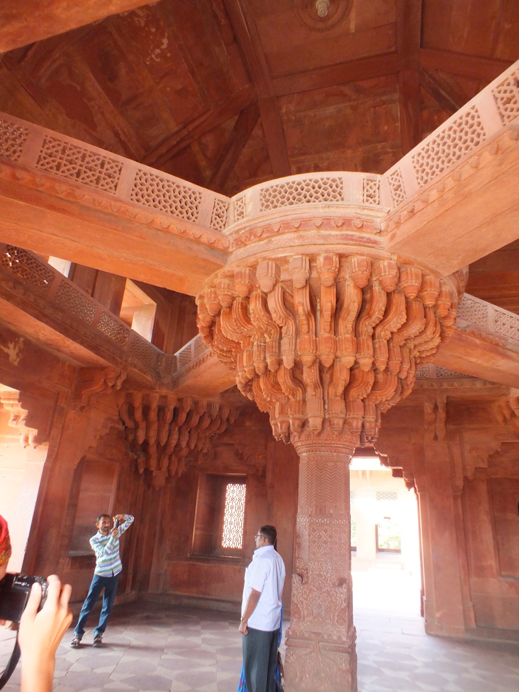
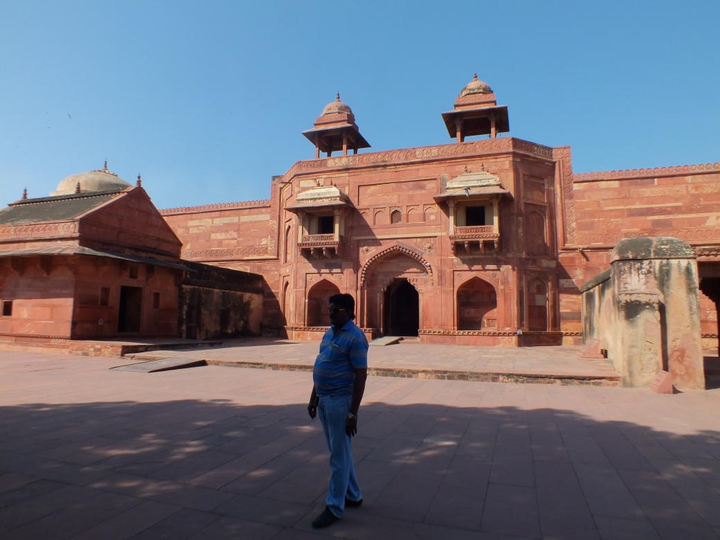
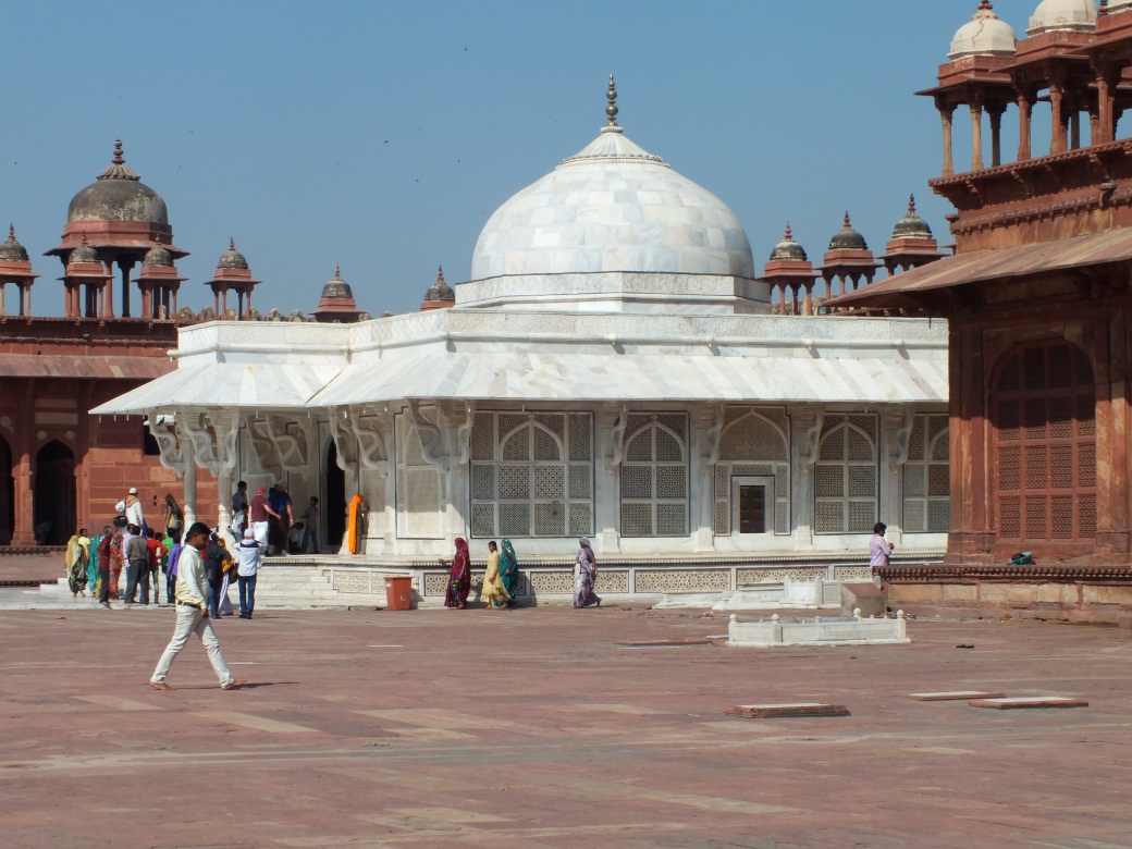
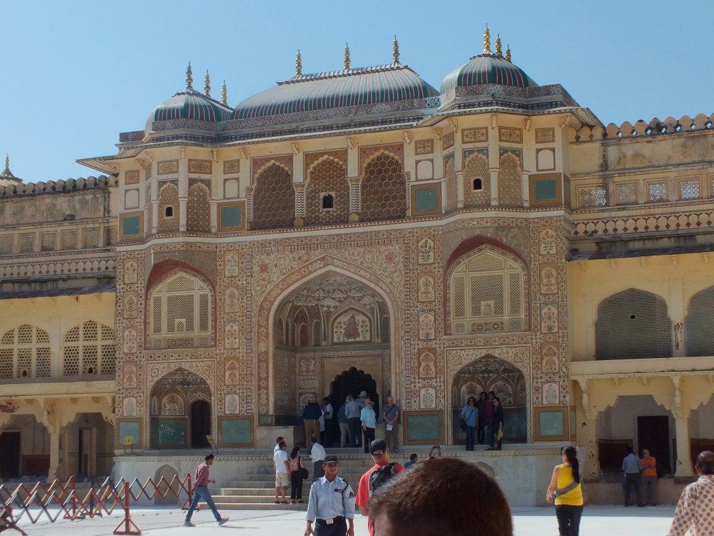
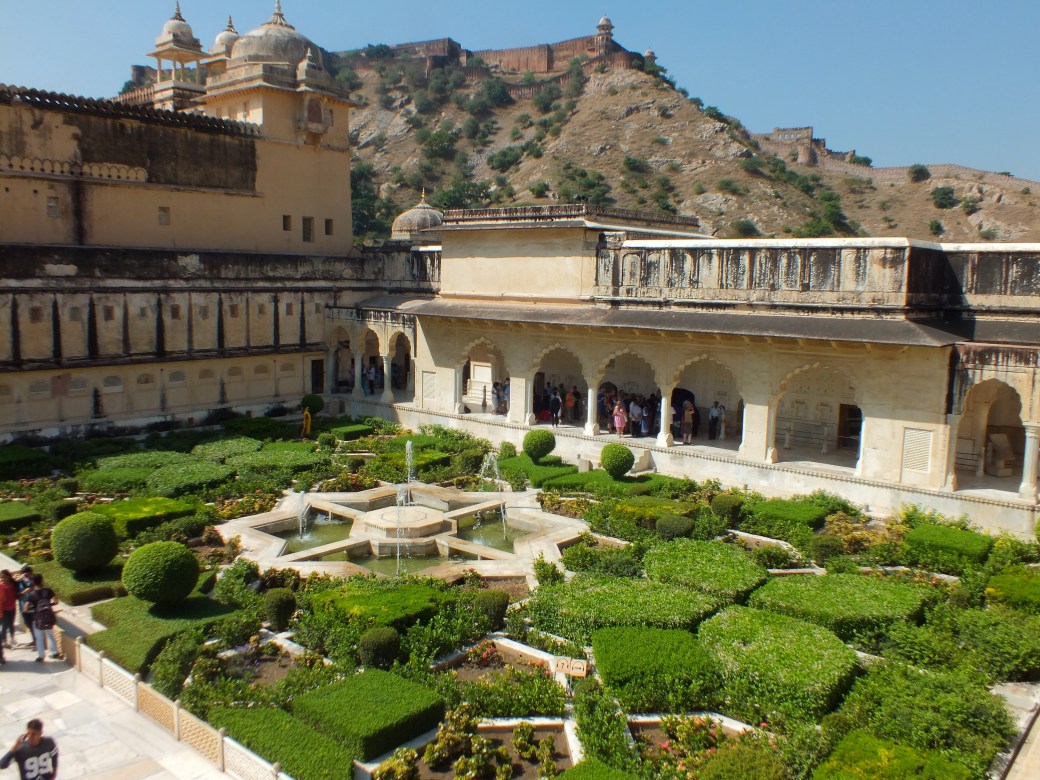
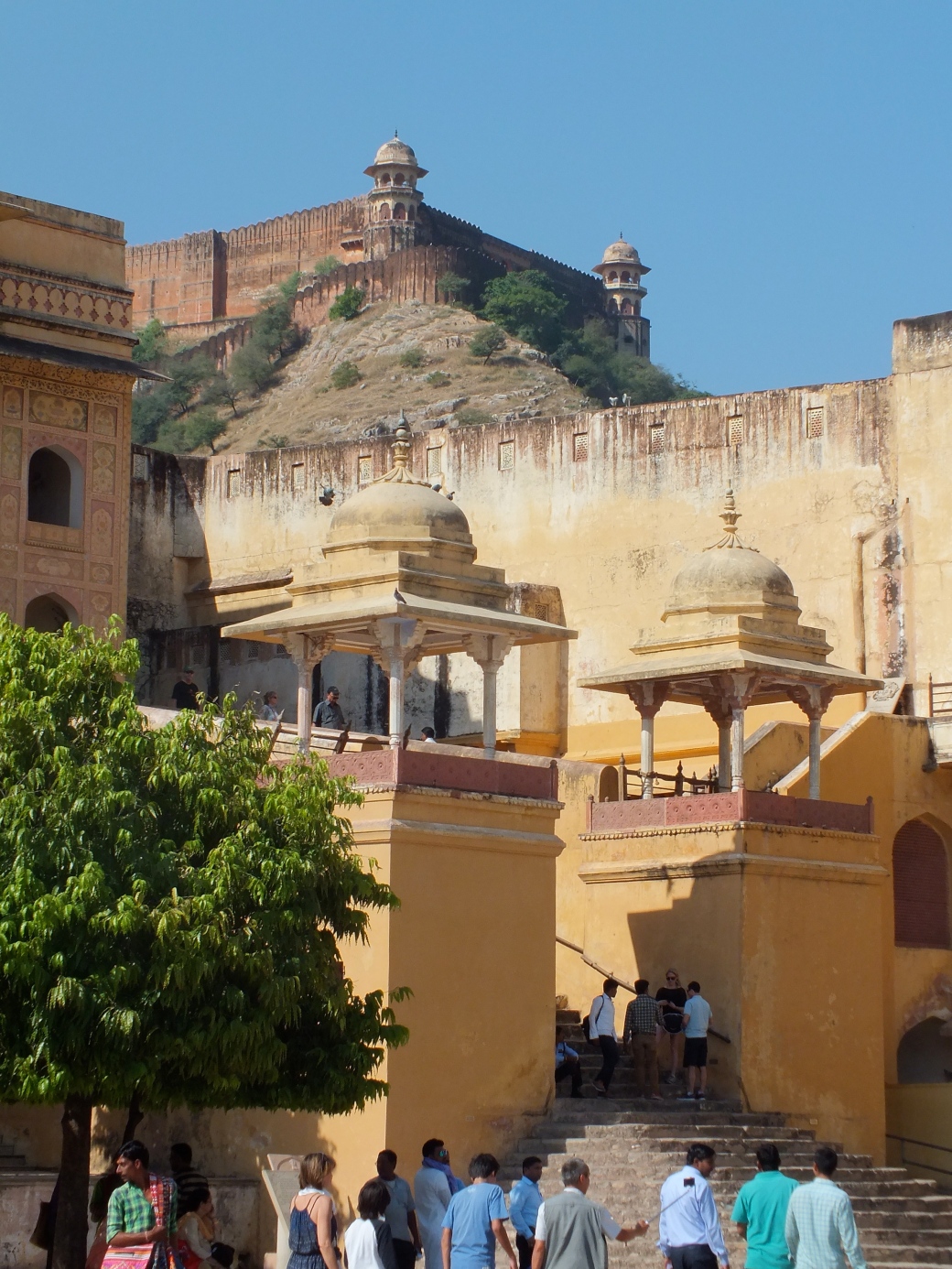
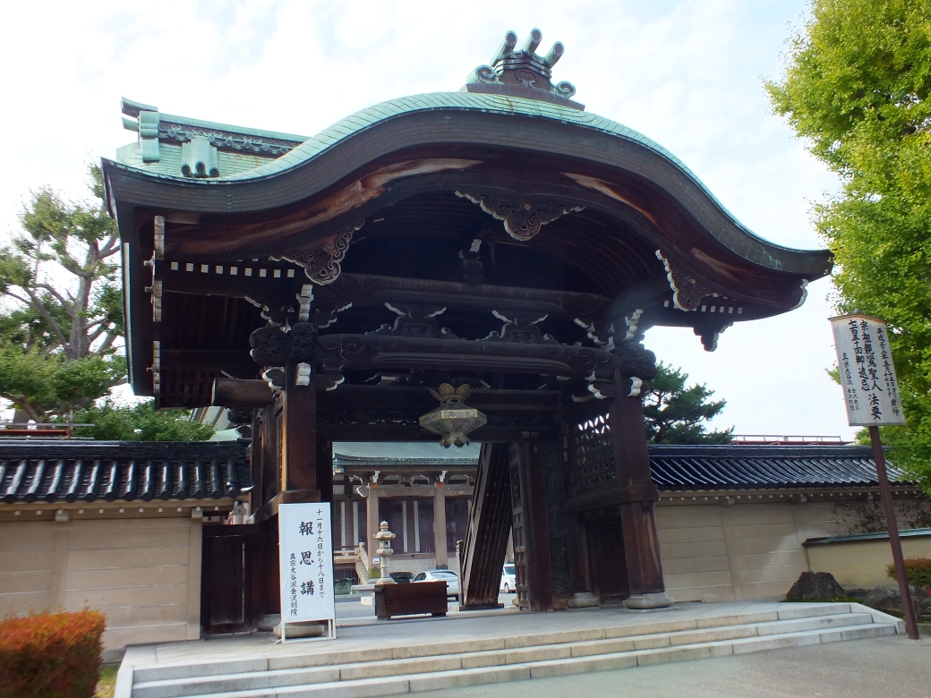
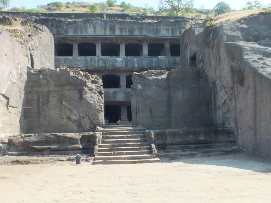
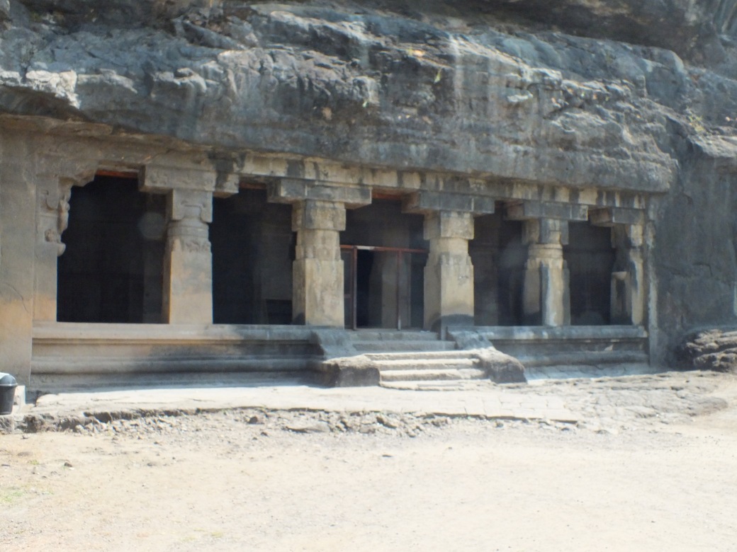
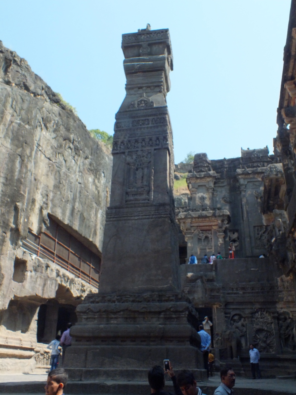
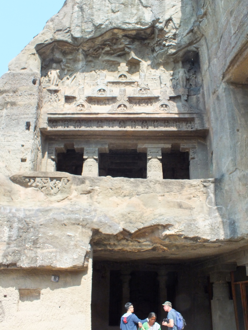
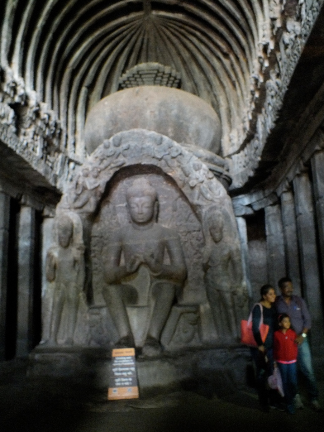
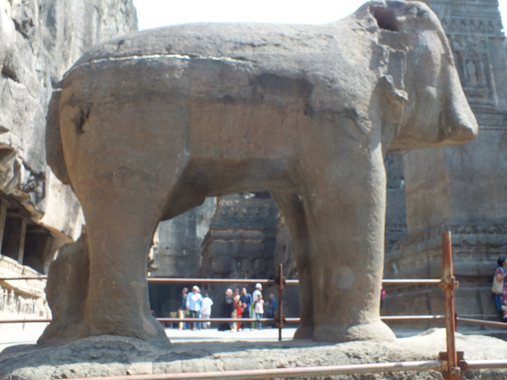
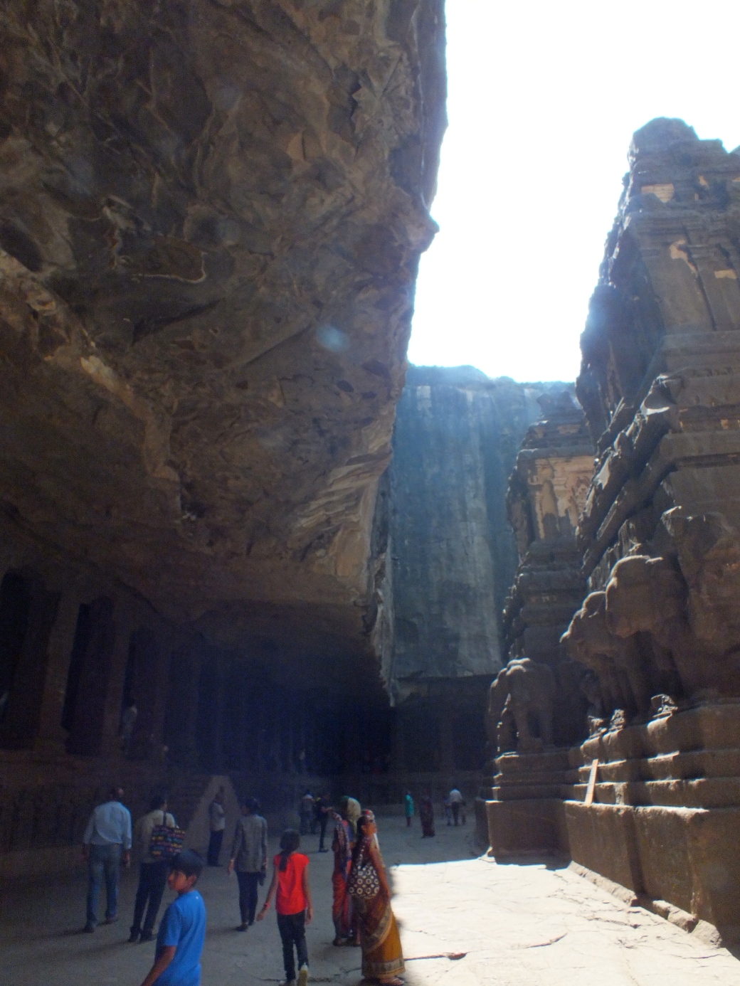
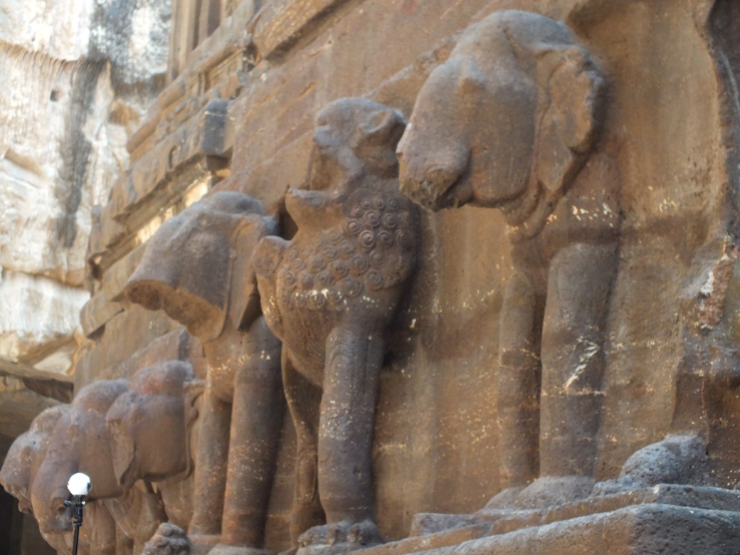
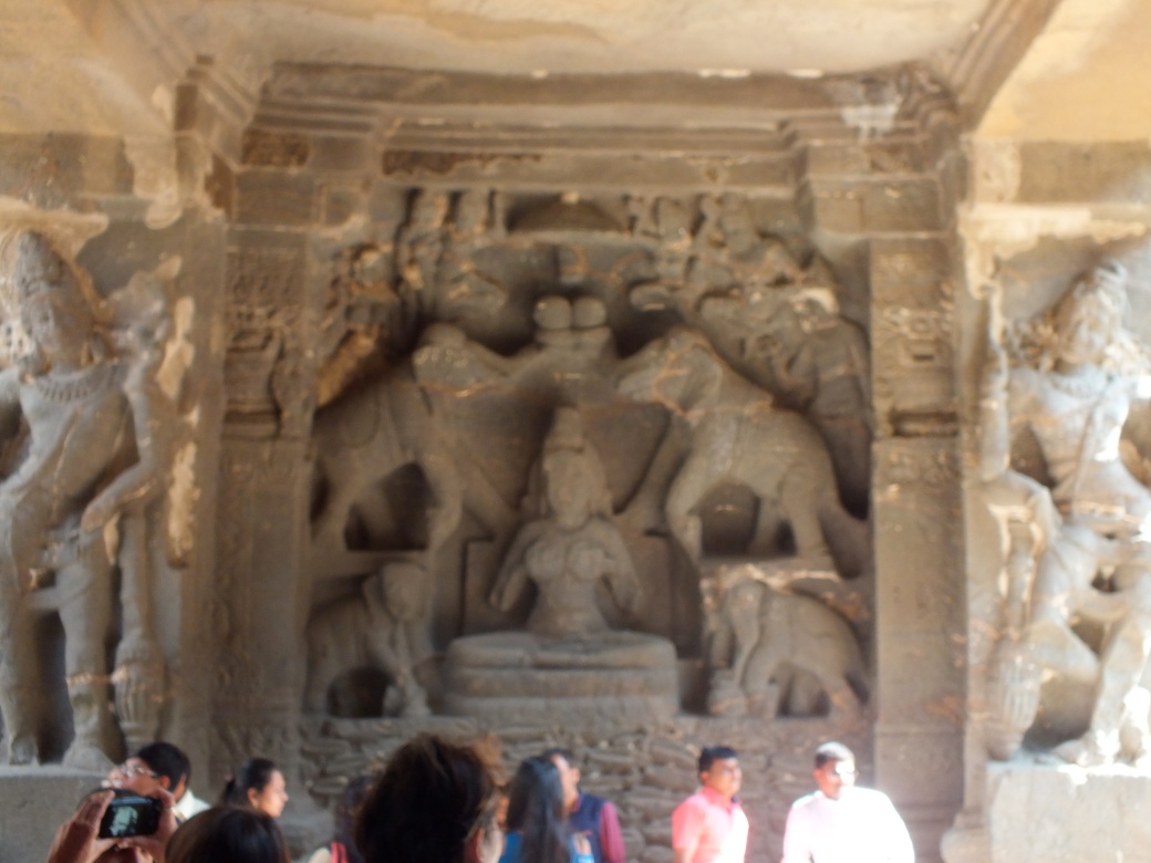
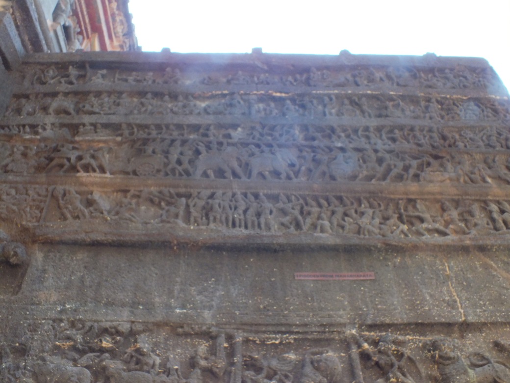
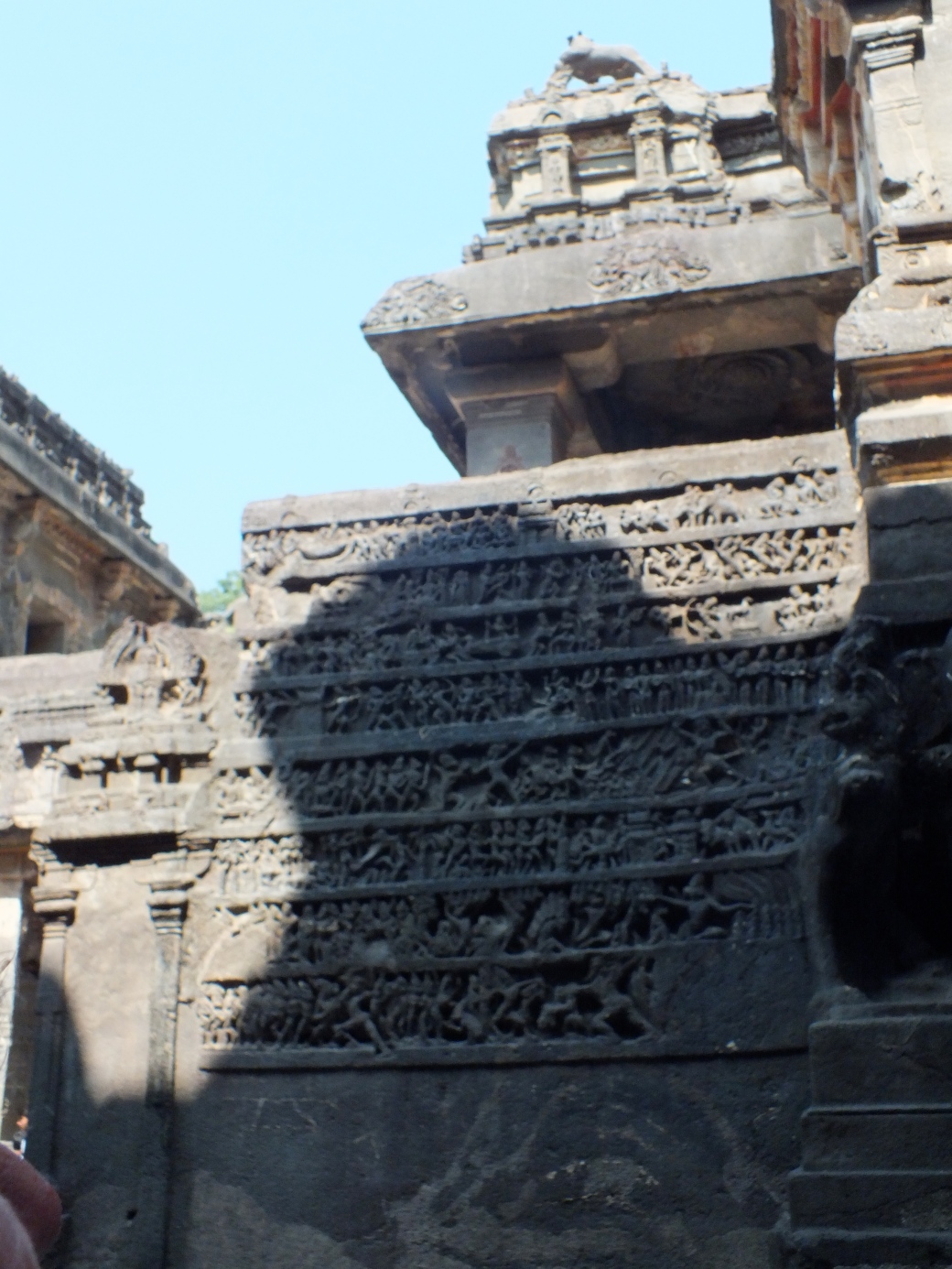
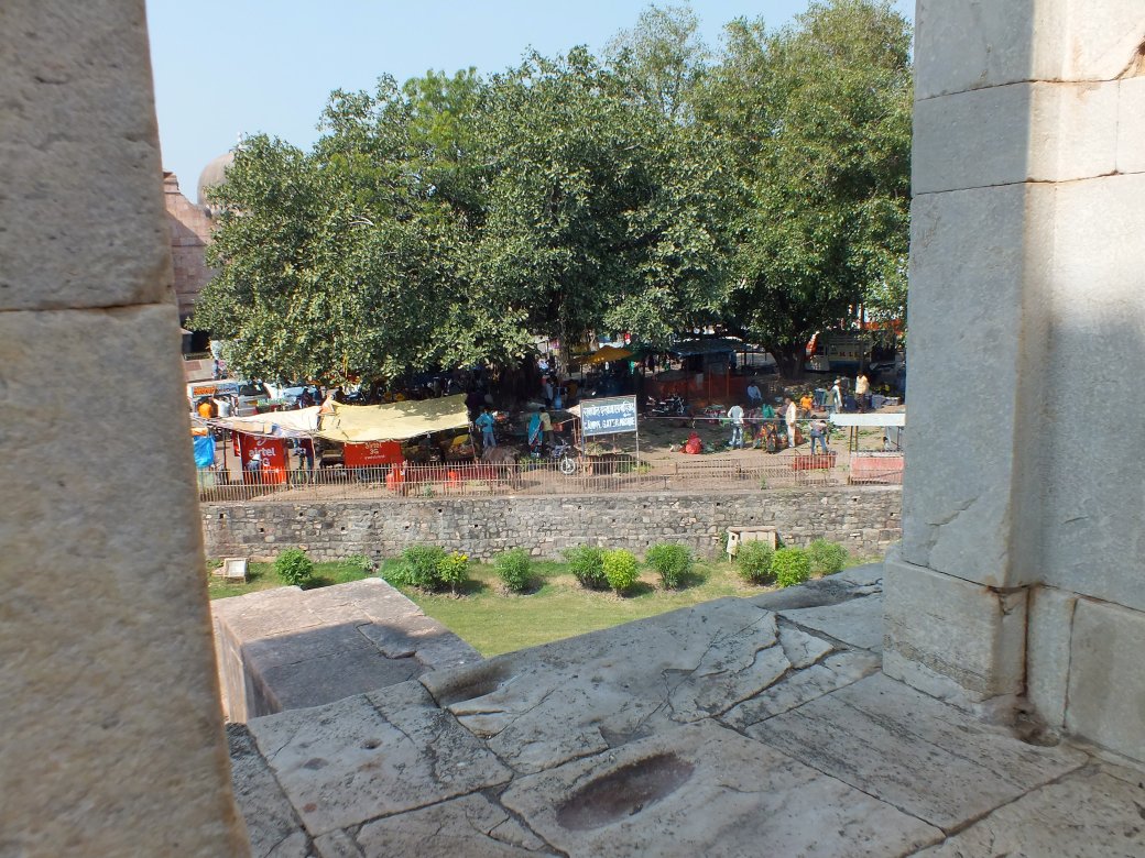
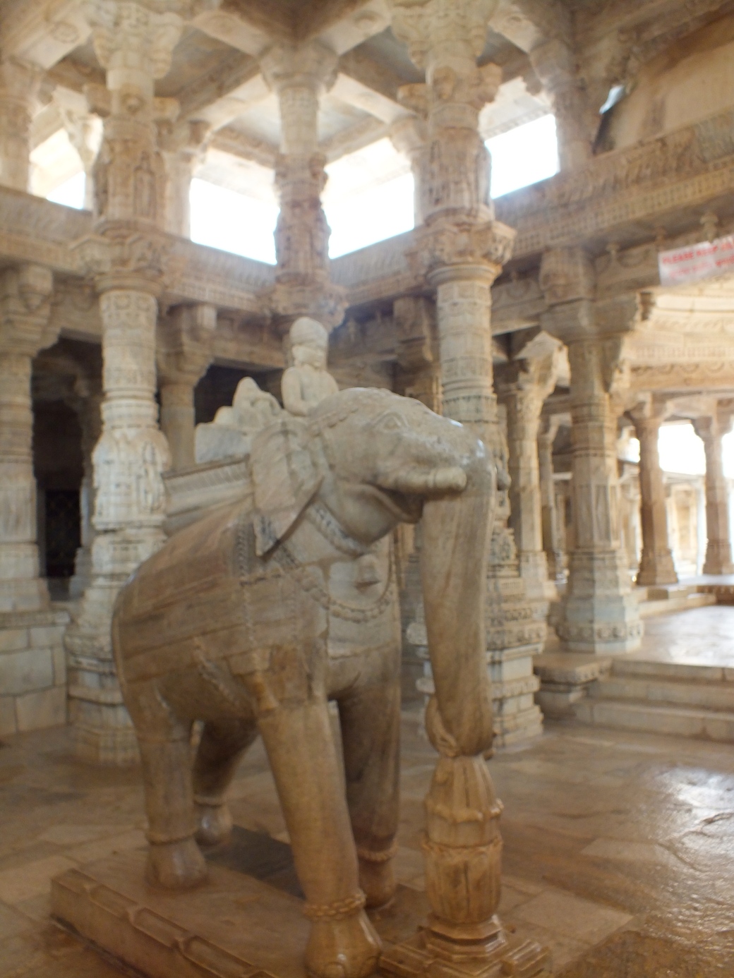
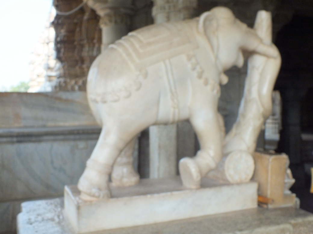
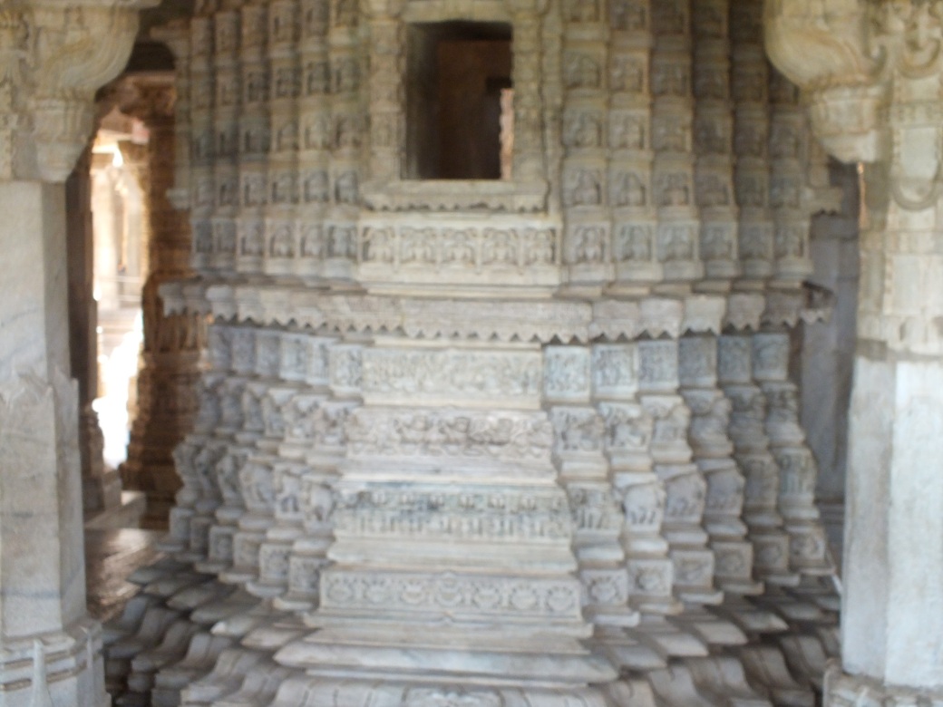
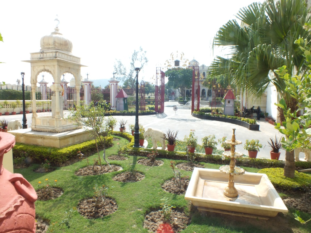
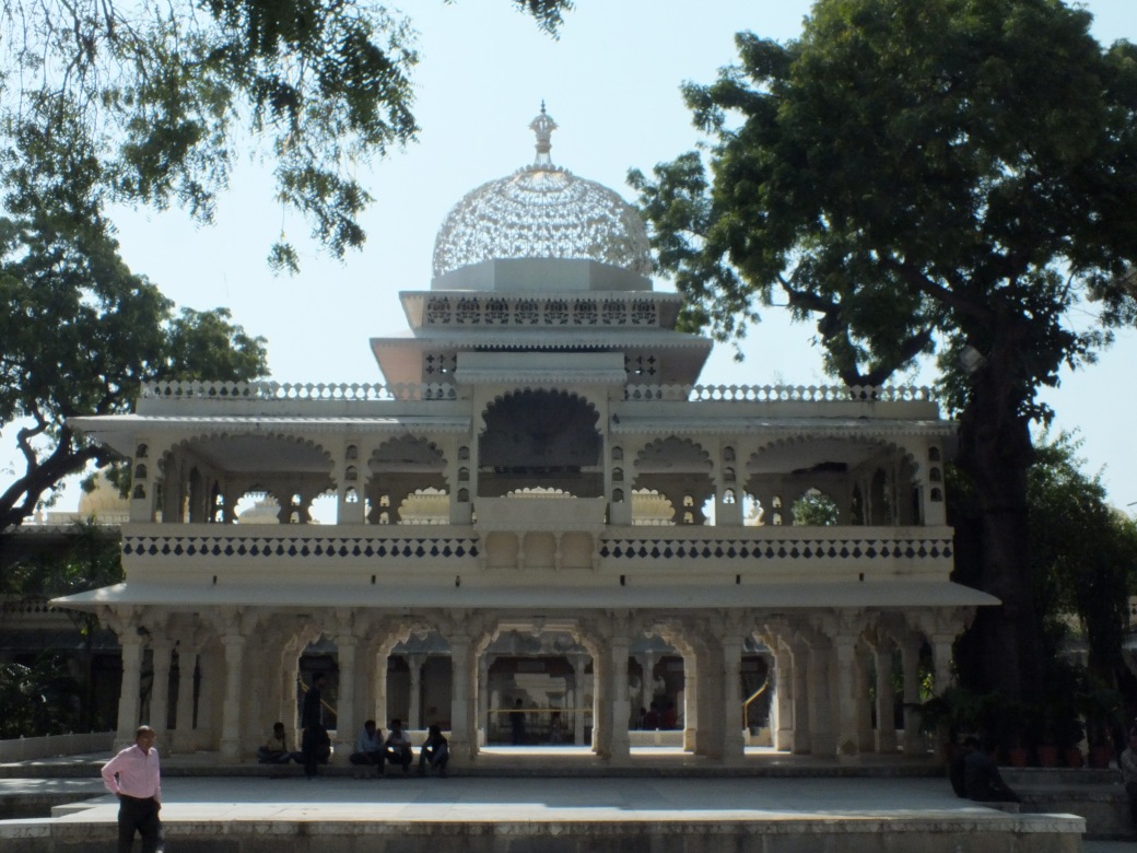
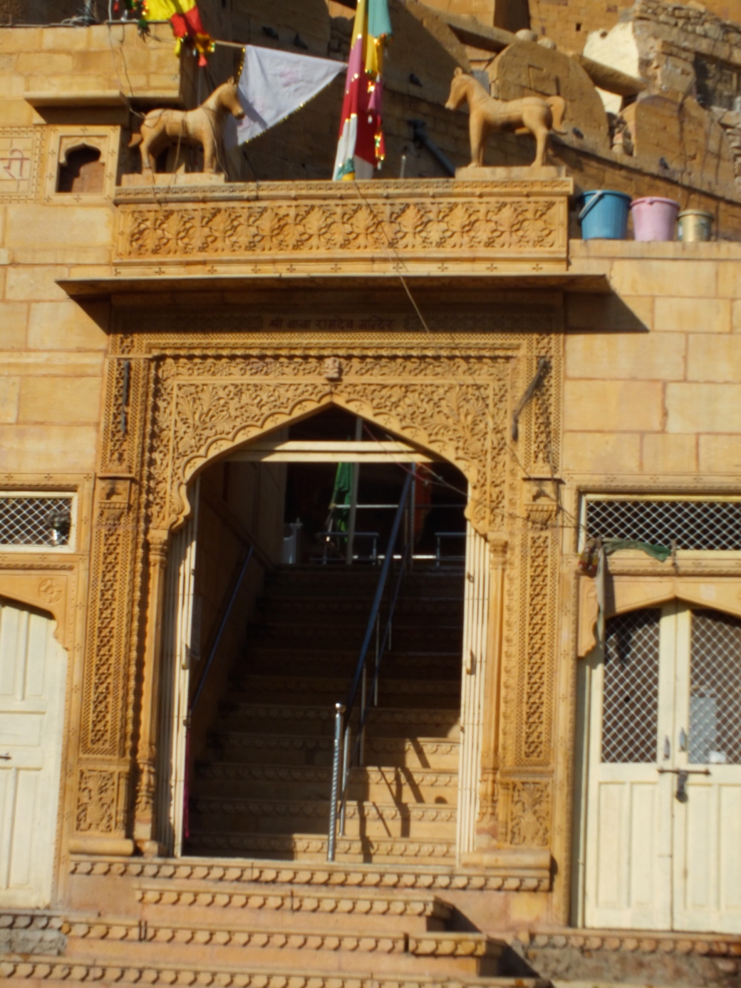
Of course the big attraction in X’ian was the terracotta warriors. Next morning we did a short trip to the Terracotta Warriors tomb. We spent a good part of the day there.
|
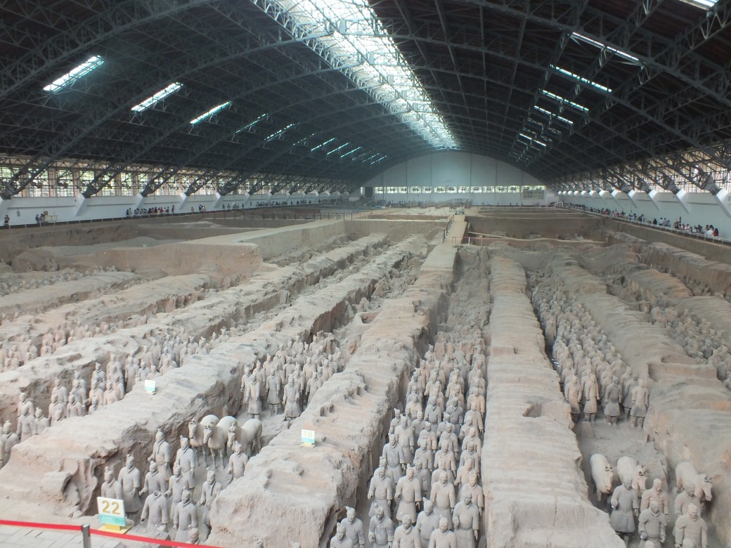

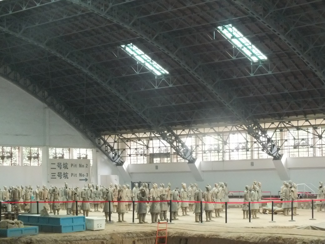
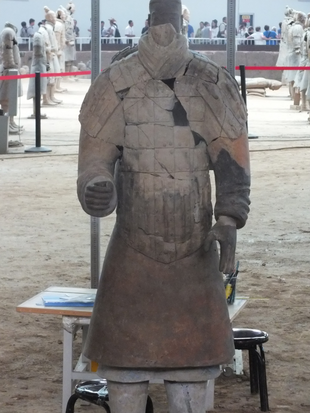
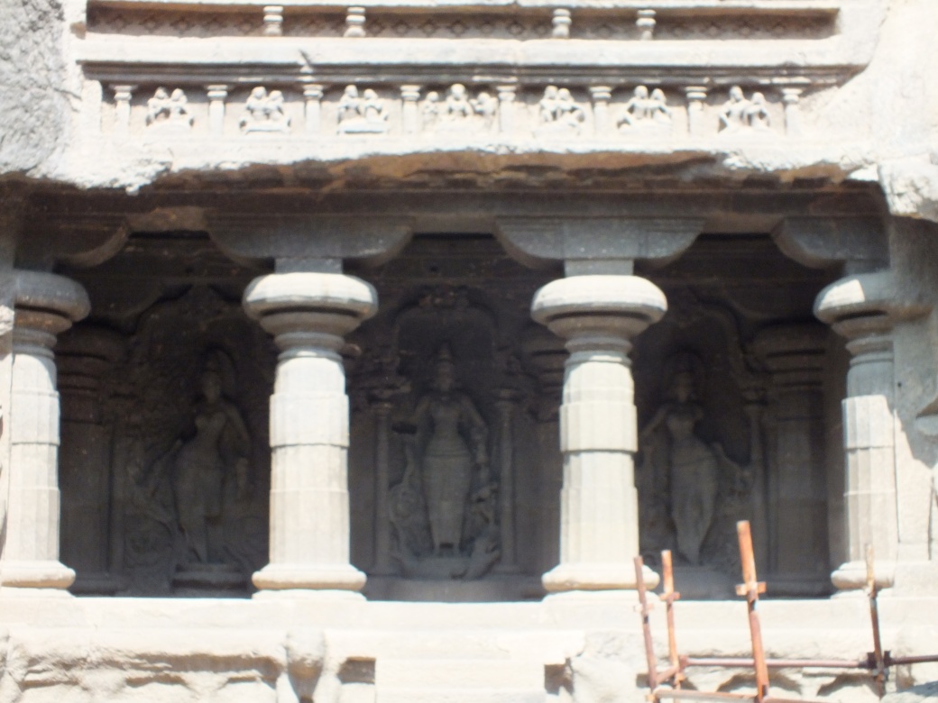
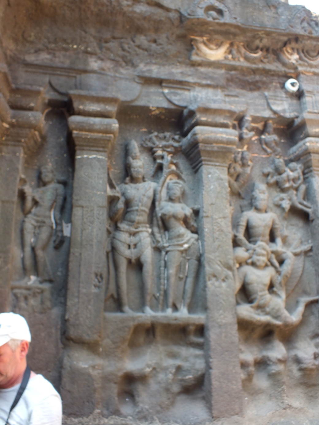
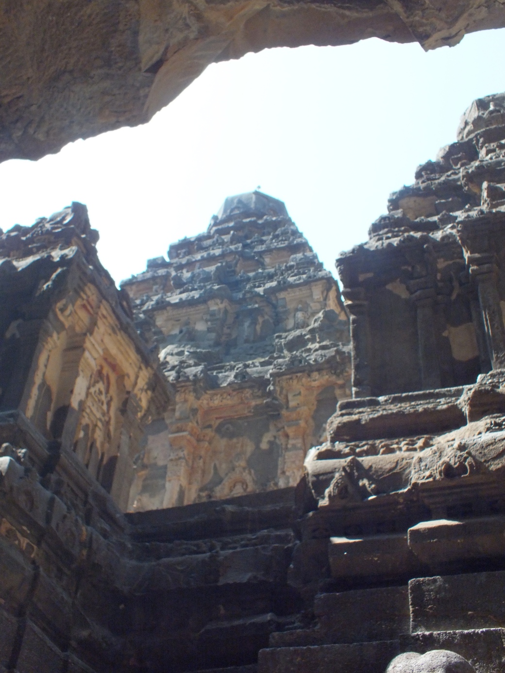
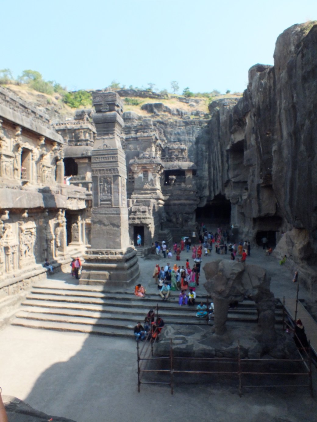
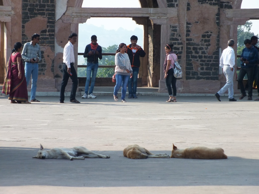
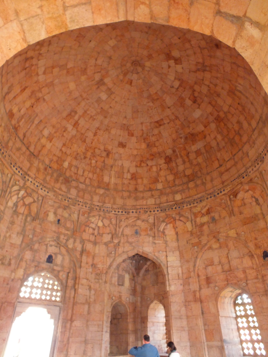
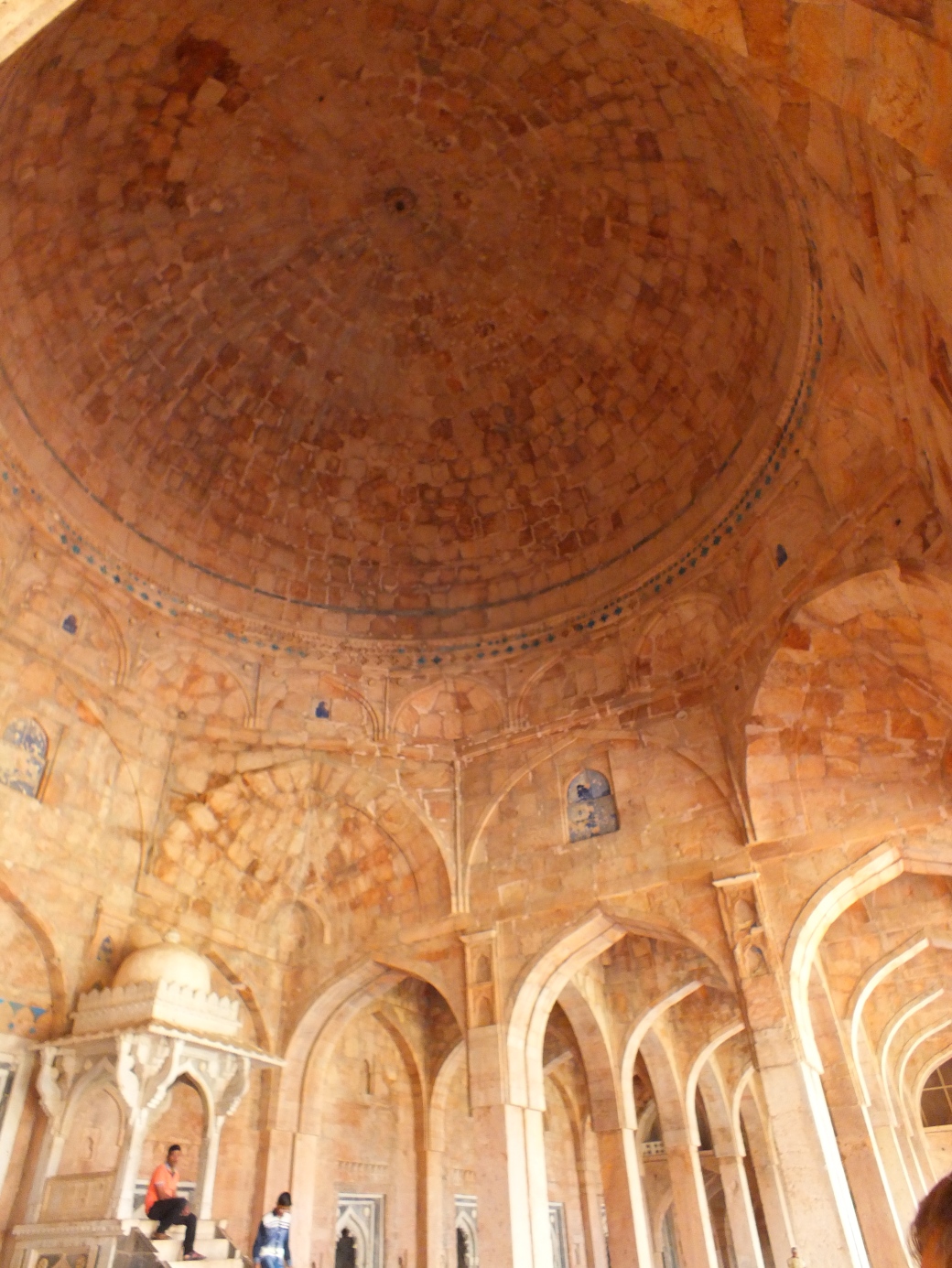
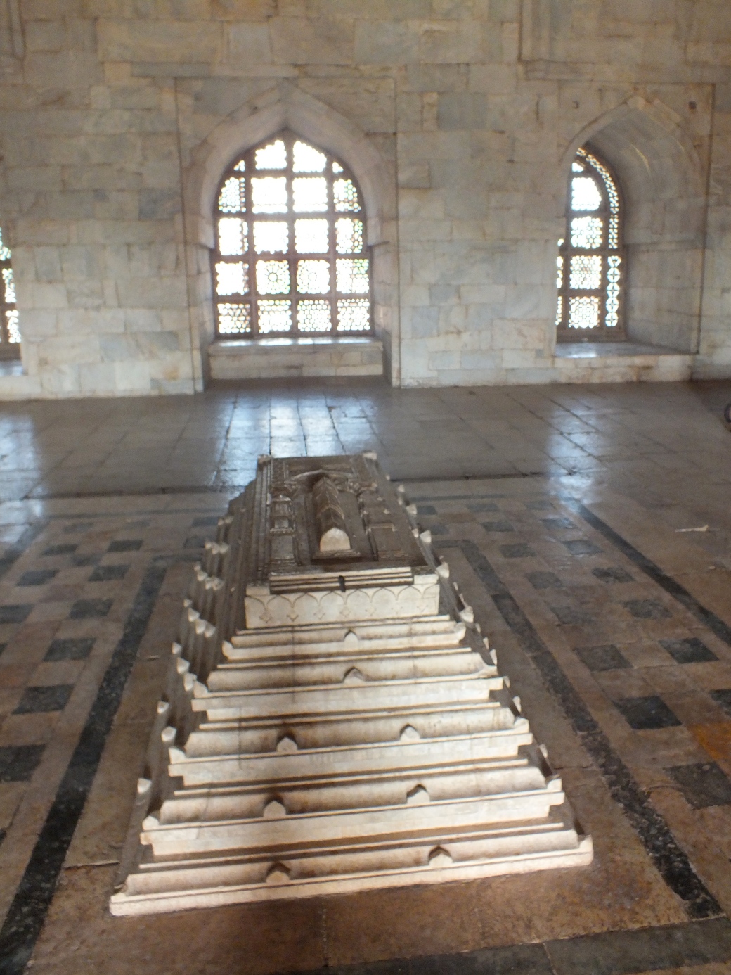
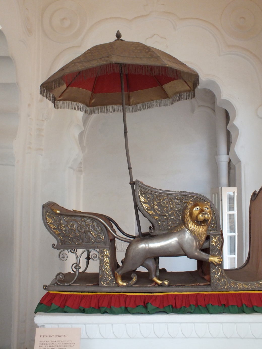
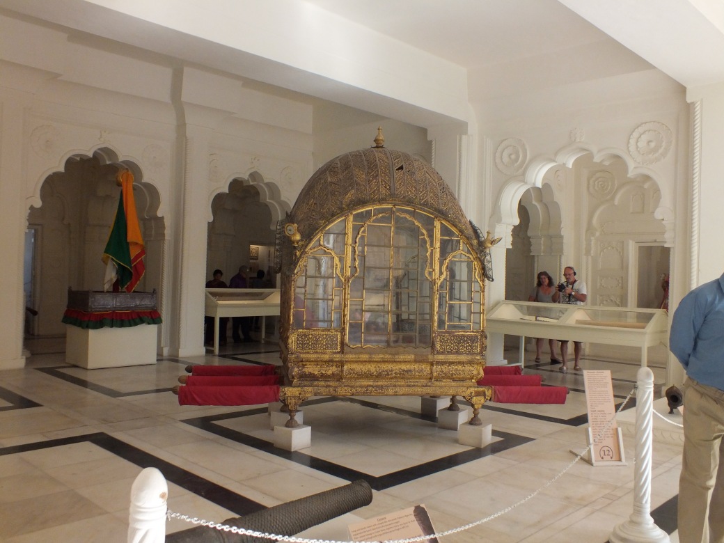
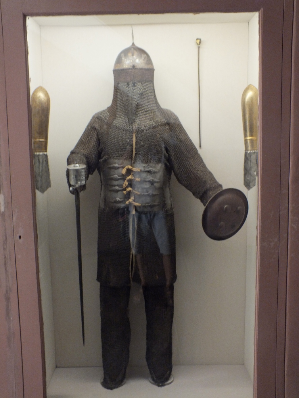
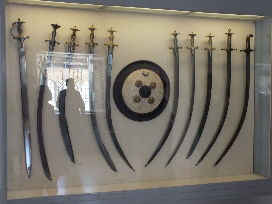
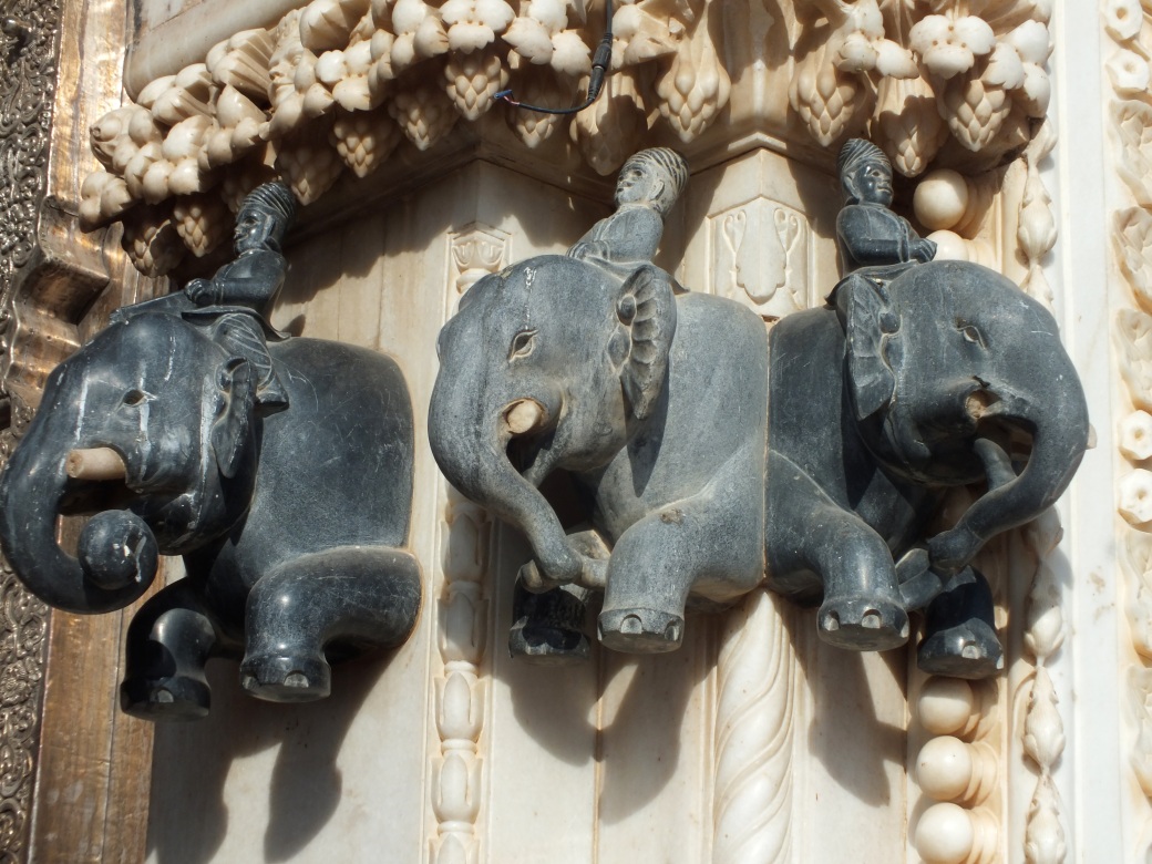
The scale and detail of the terra cotta warriors collection are beyond normal imagination. As in the great forts I have visited in India, the amount of resources human and otherwise marshaled for this personal monument is incomprehensible.
Excavation of the site and restoration of the warriors continue, as some of the exhibits show. Apparently there is a second tomb nearby that has not yet been opened by archeologists.
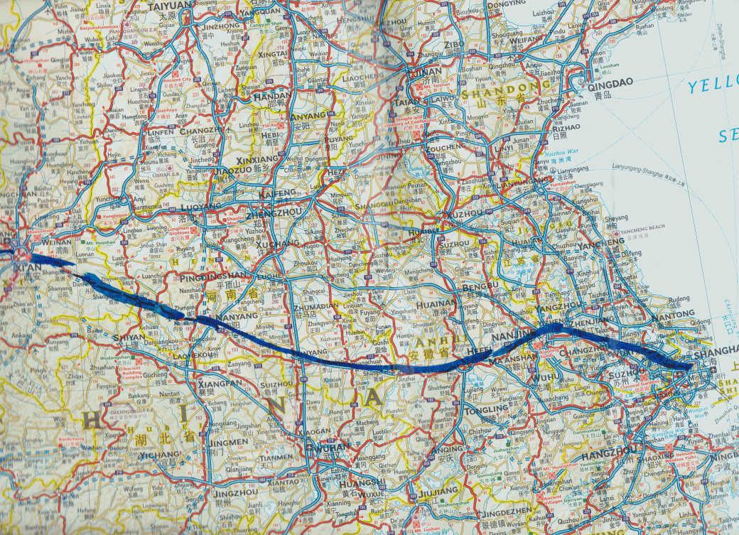
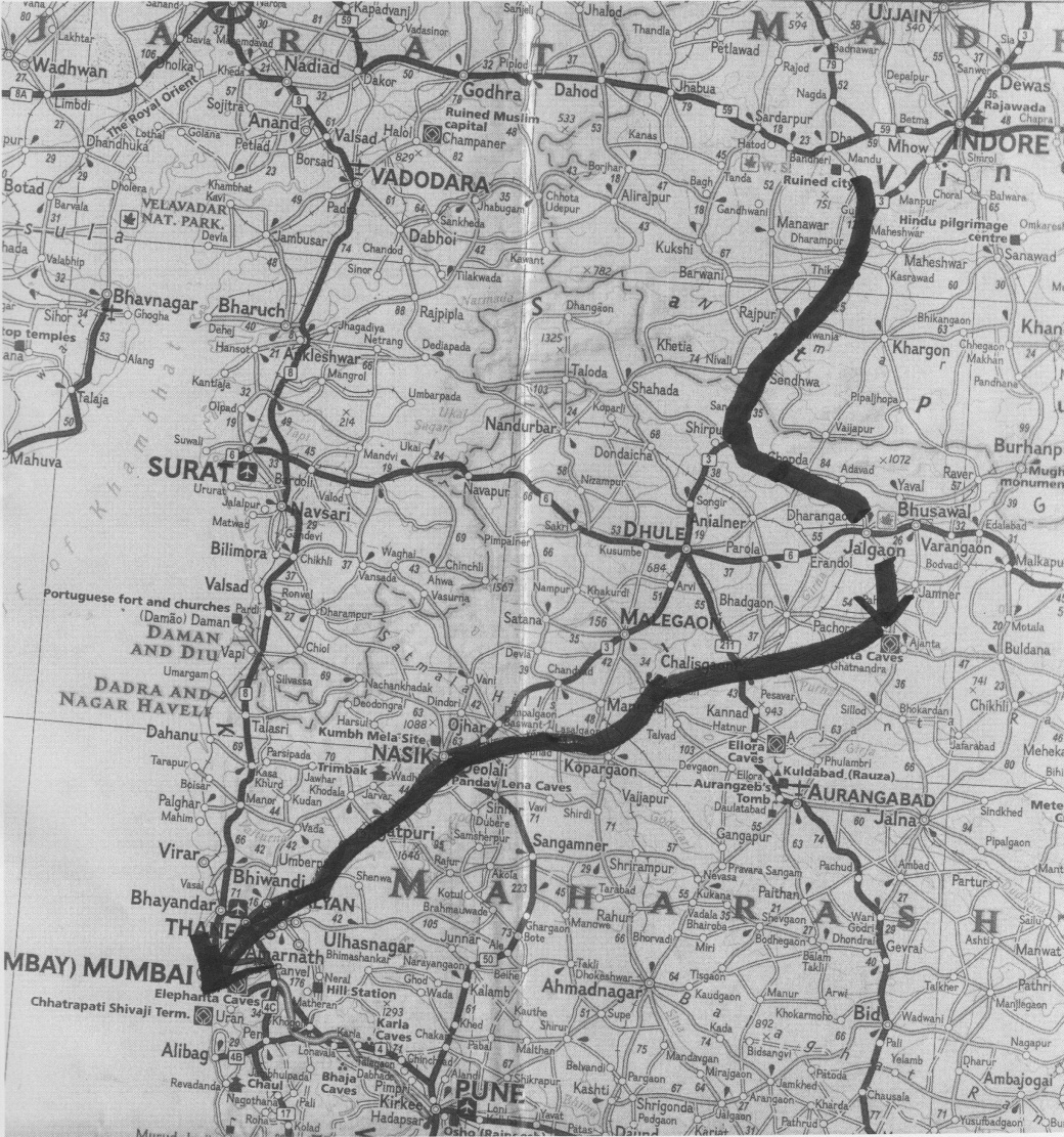
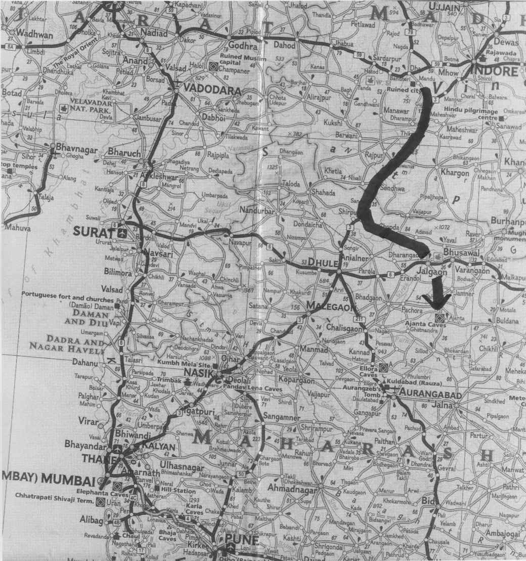
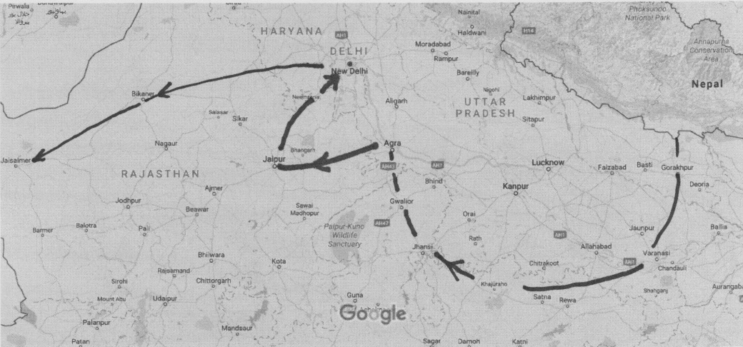
On the Road
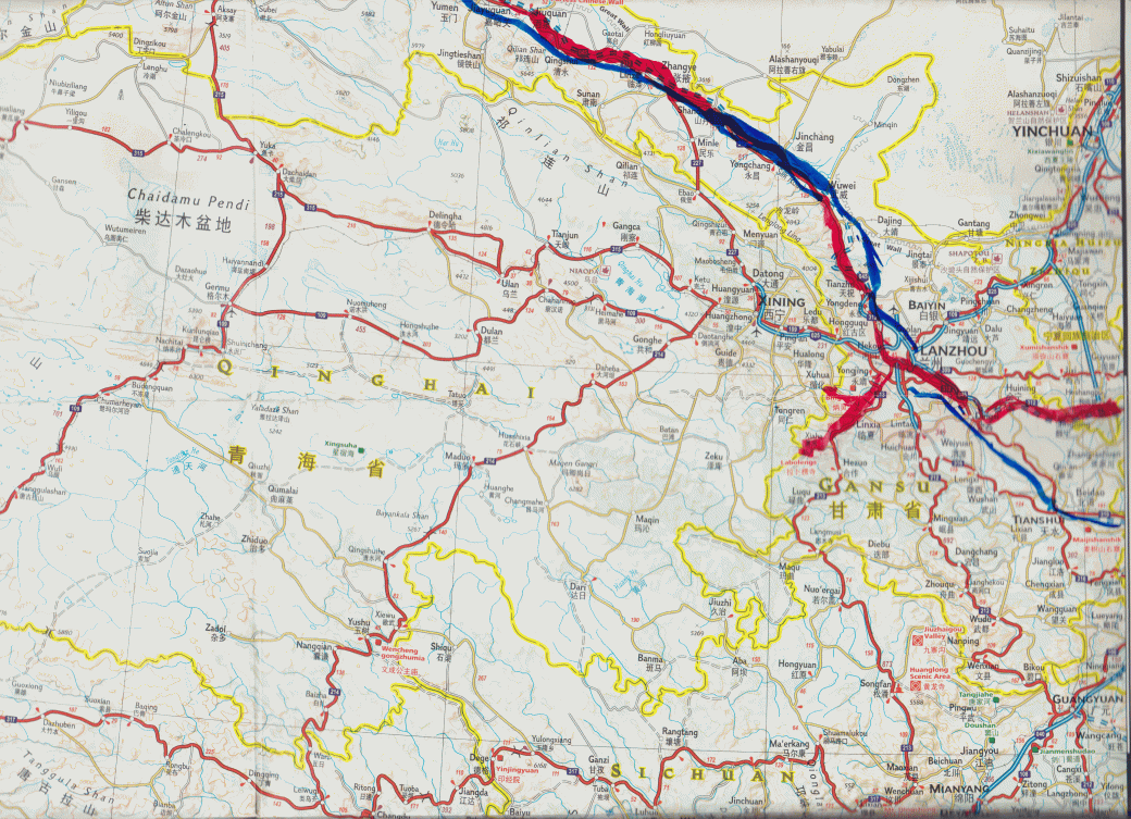
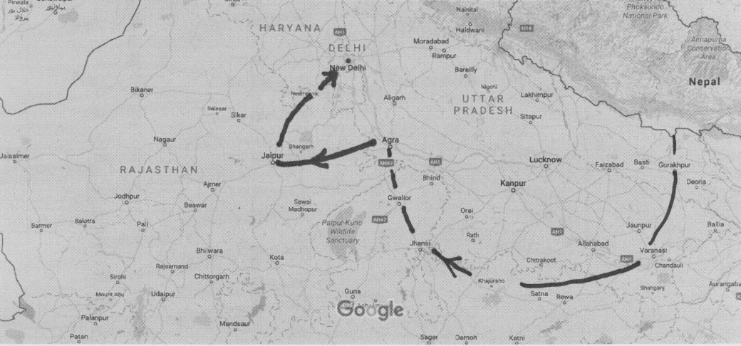
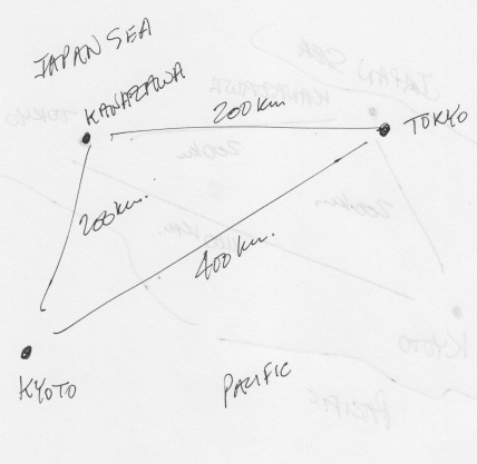
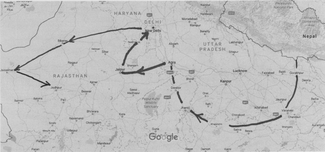
X’ian to Zhanghe. The red line marks Aziza’s route; the blue one the trip back by train. As on my next trip, I am the only person with this antiquity, a paper map!
Pingliang
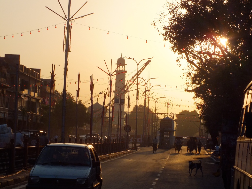
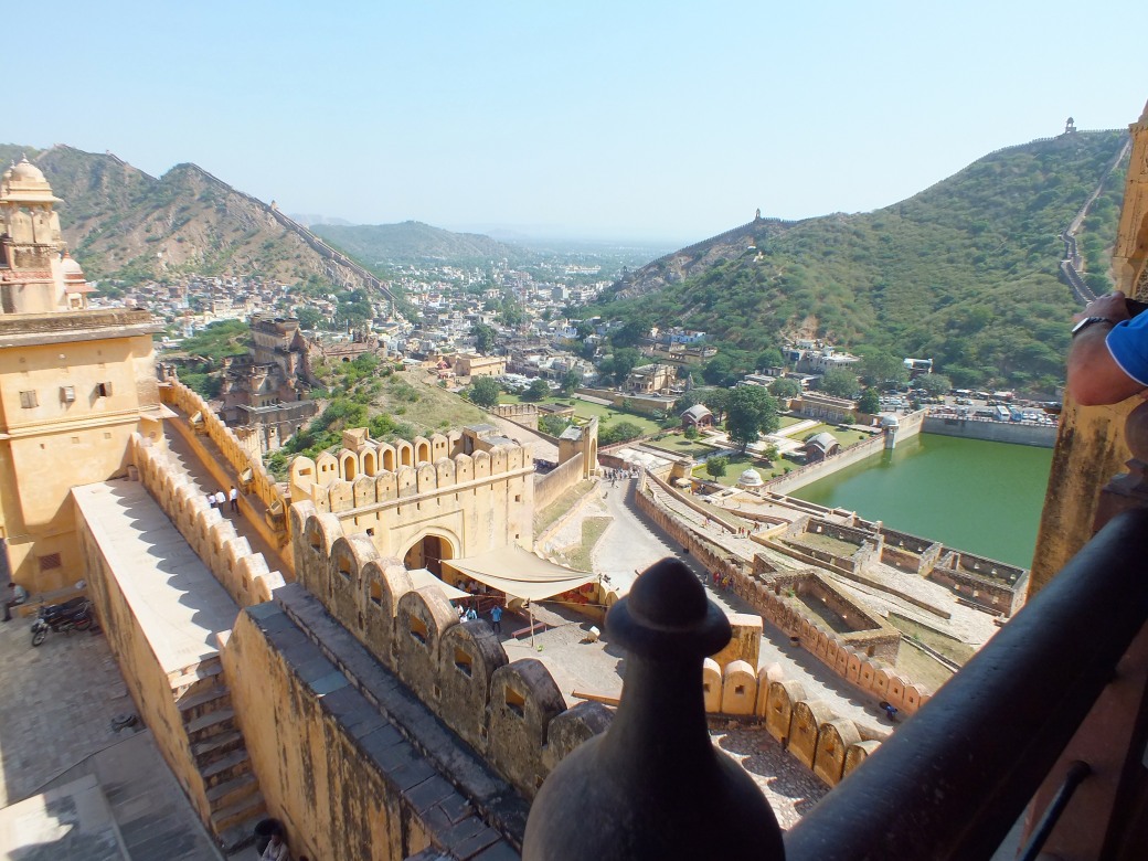
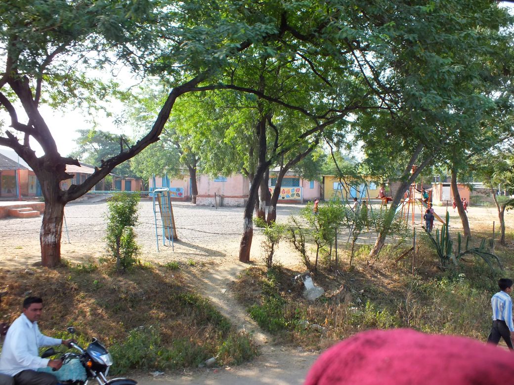
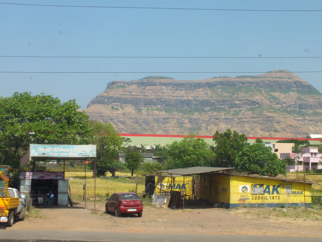
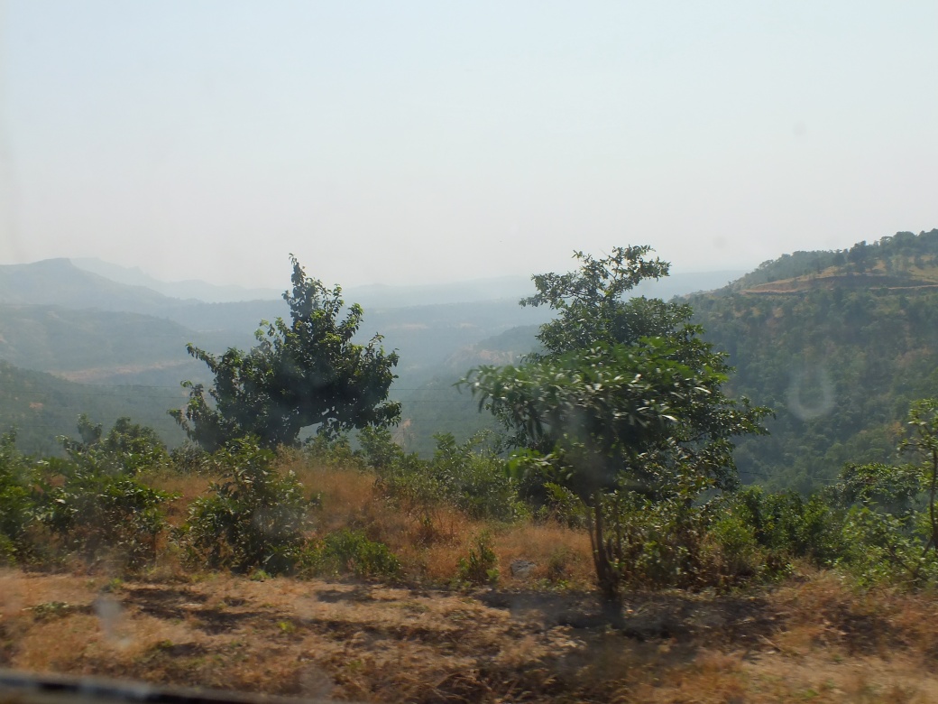
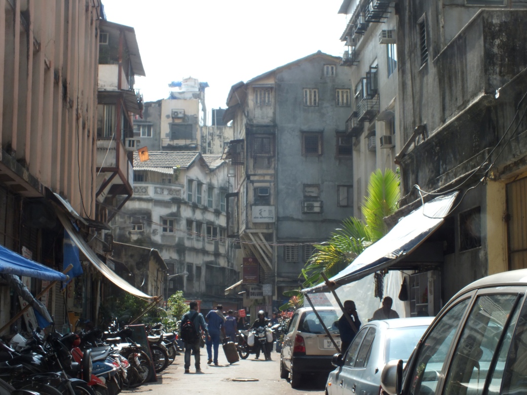
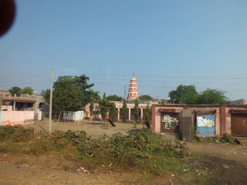
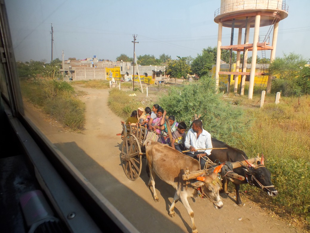
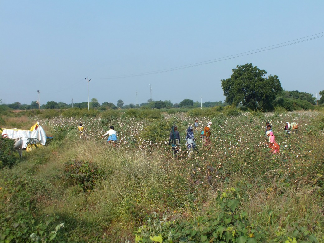
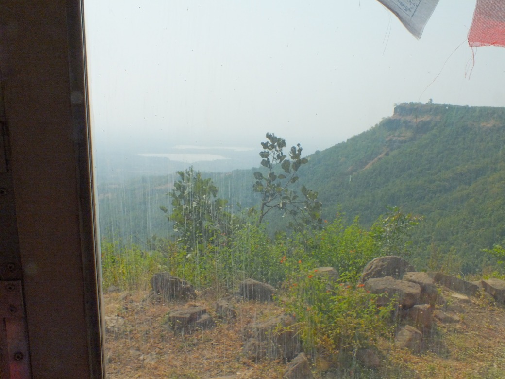
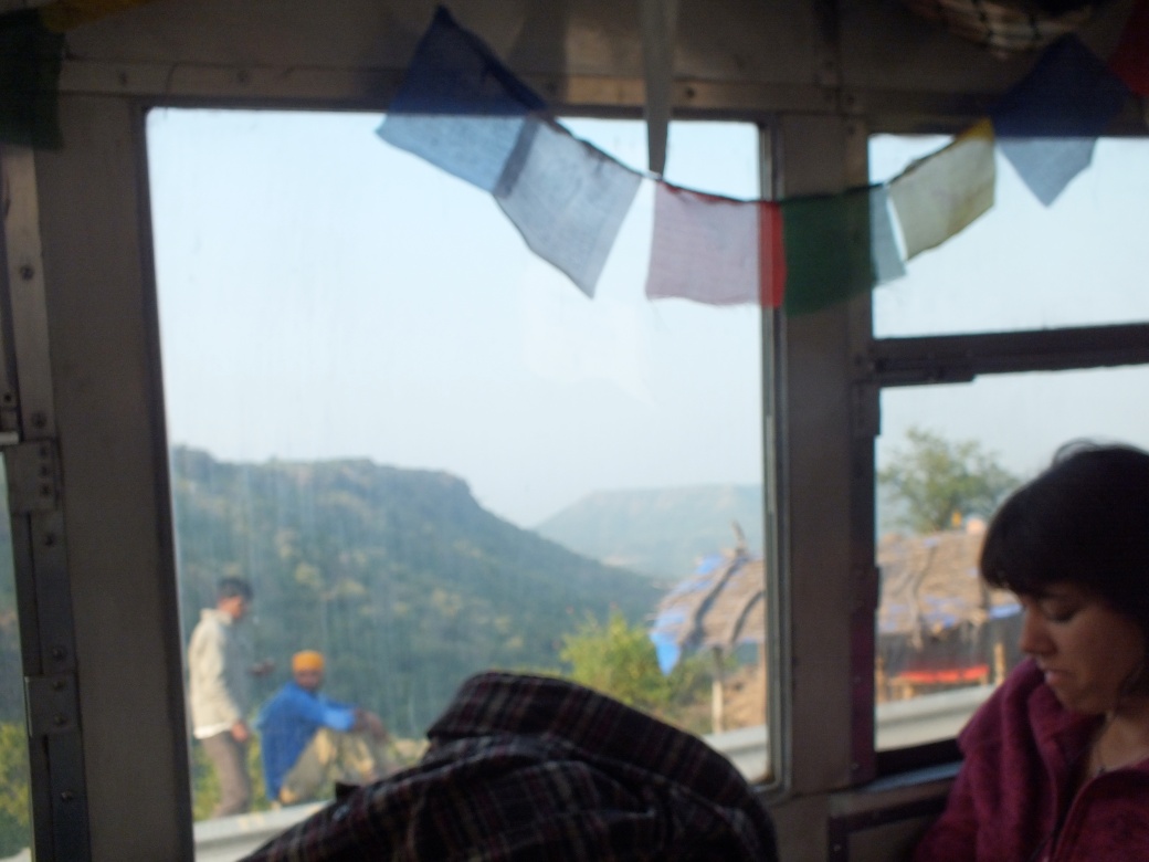
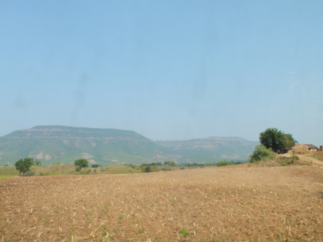
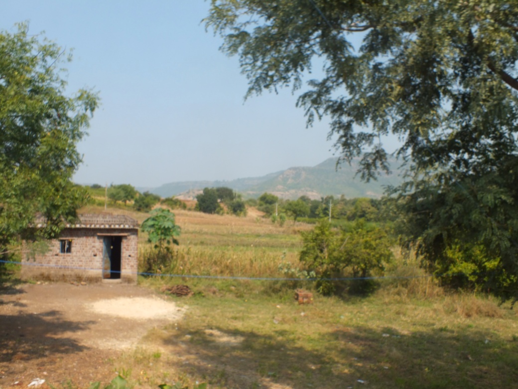
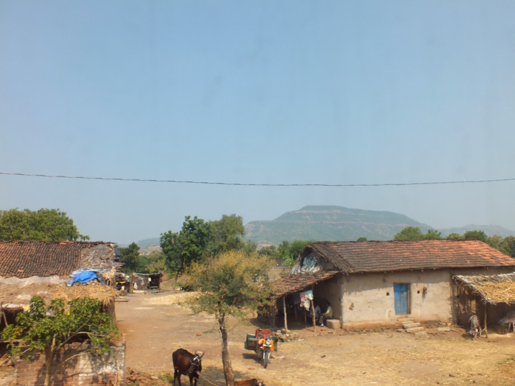
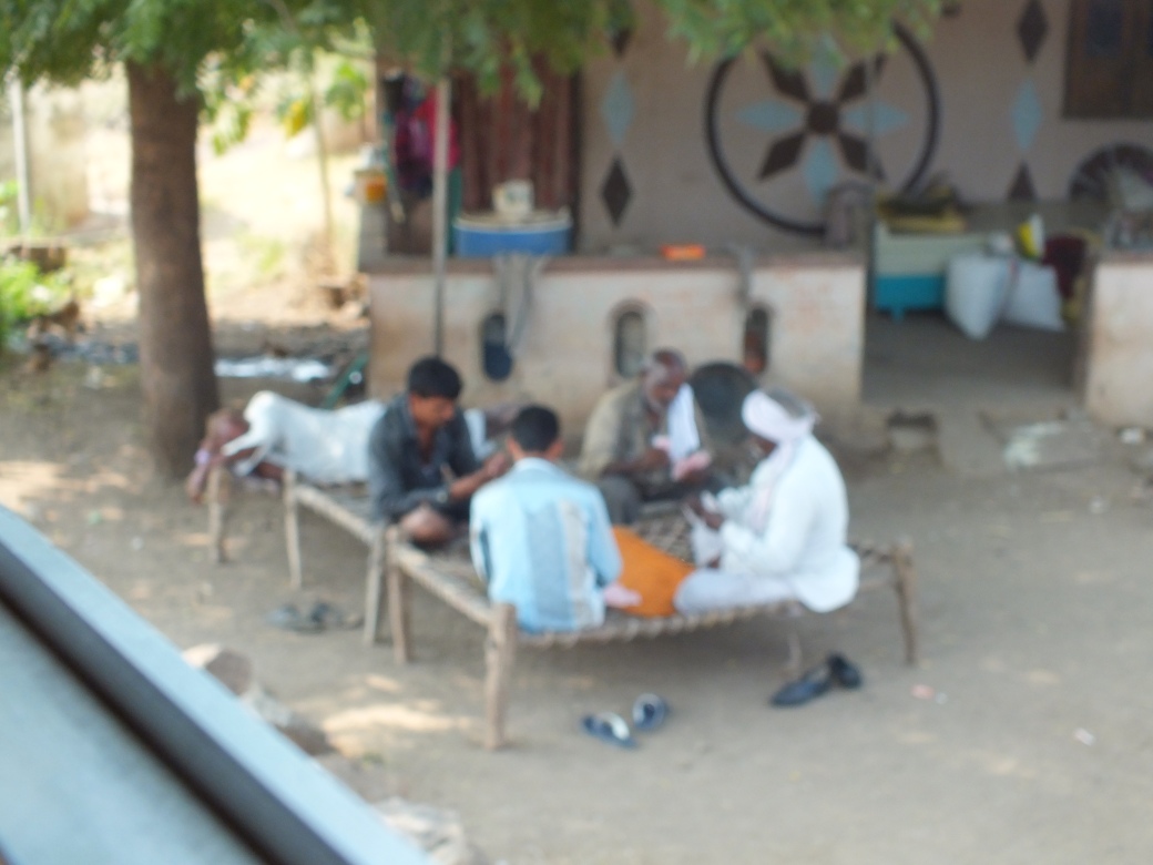
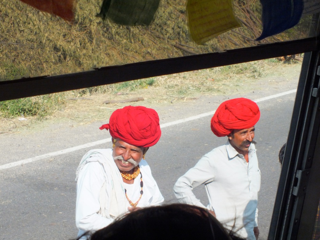
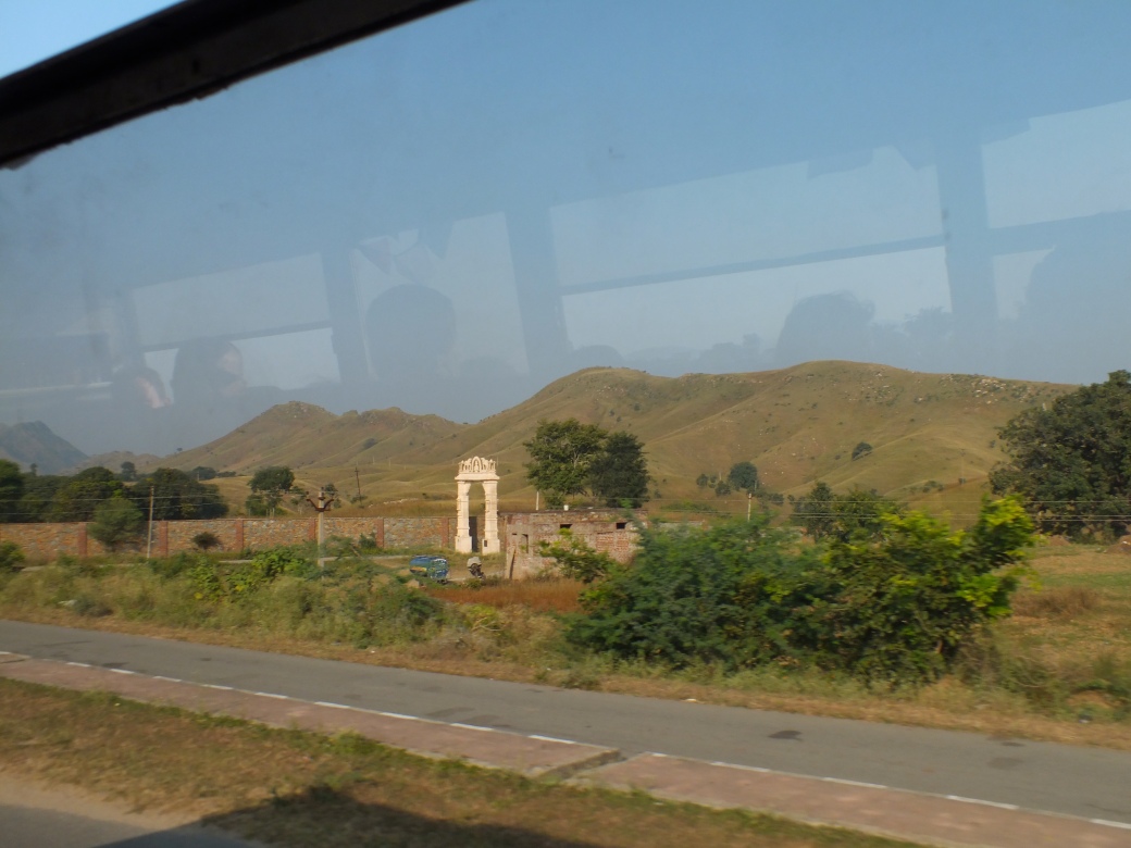
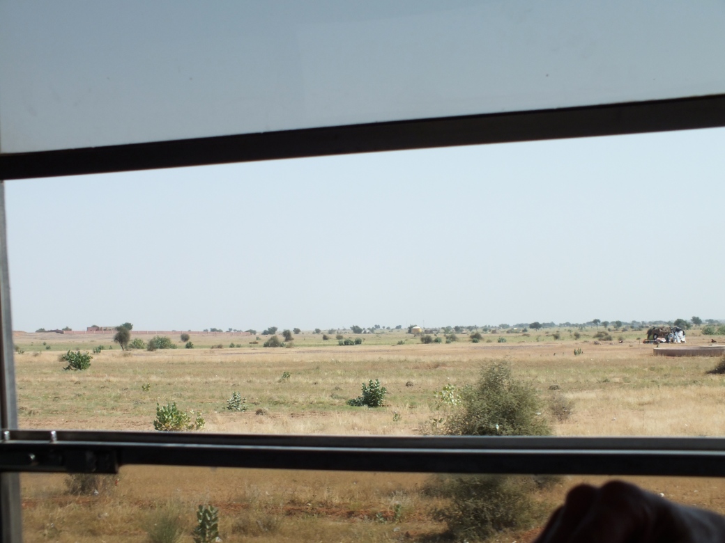
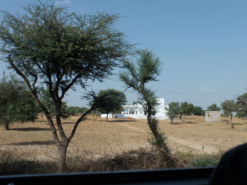
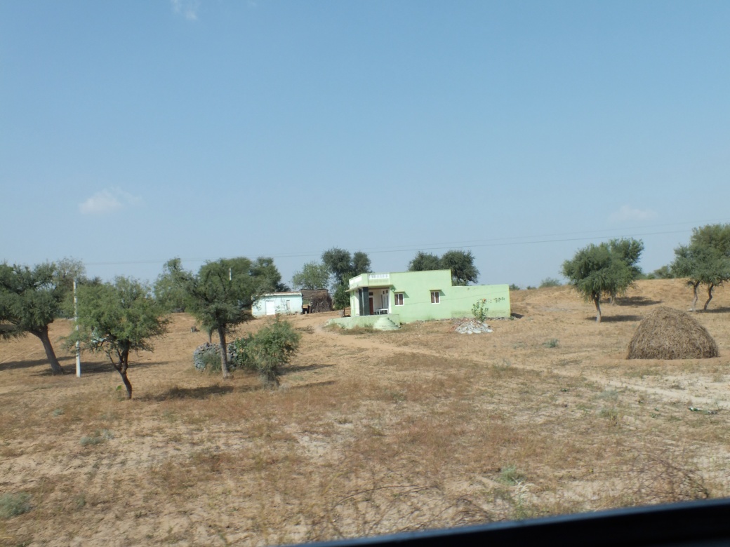
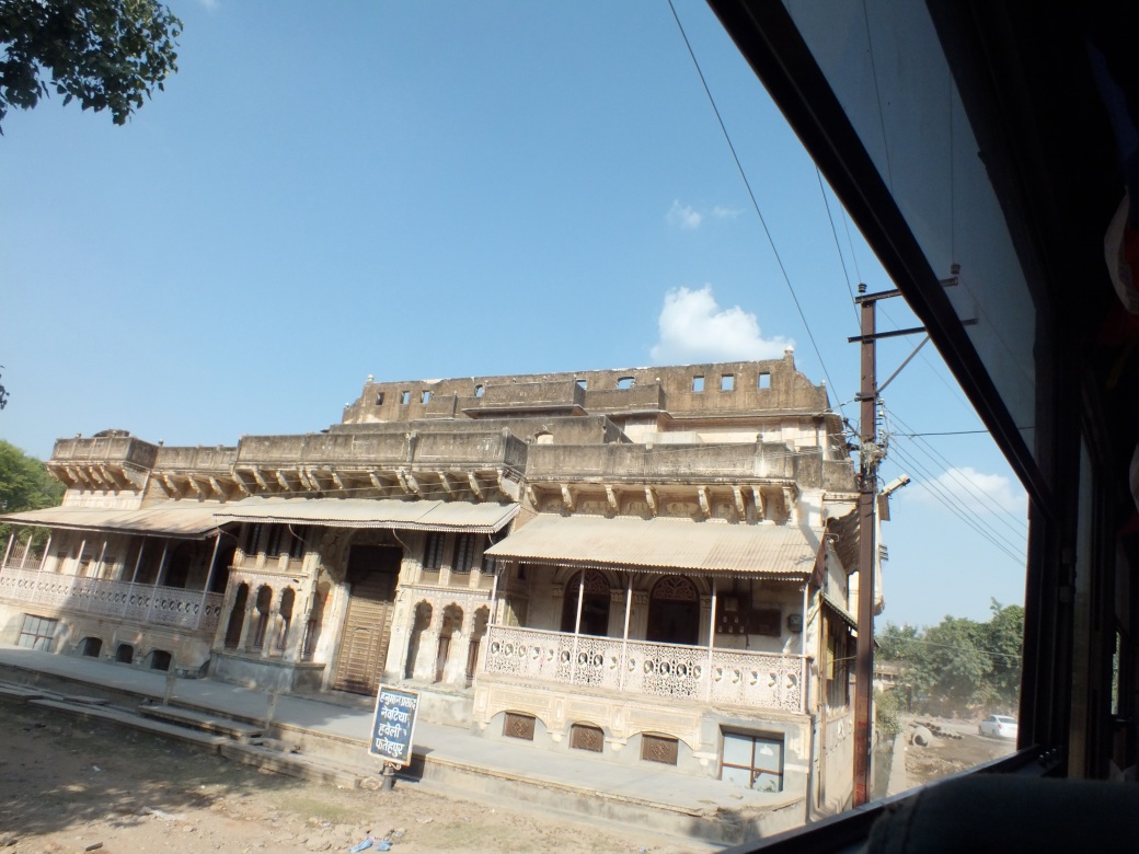
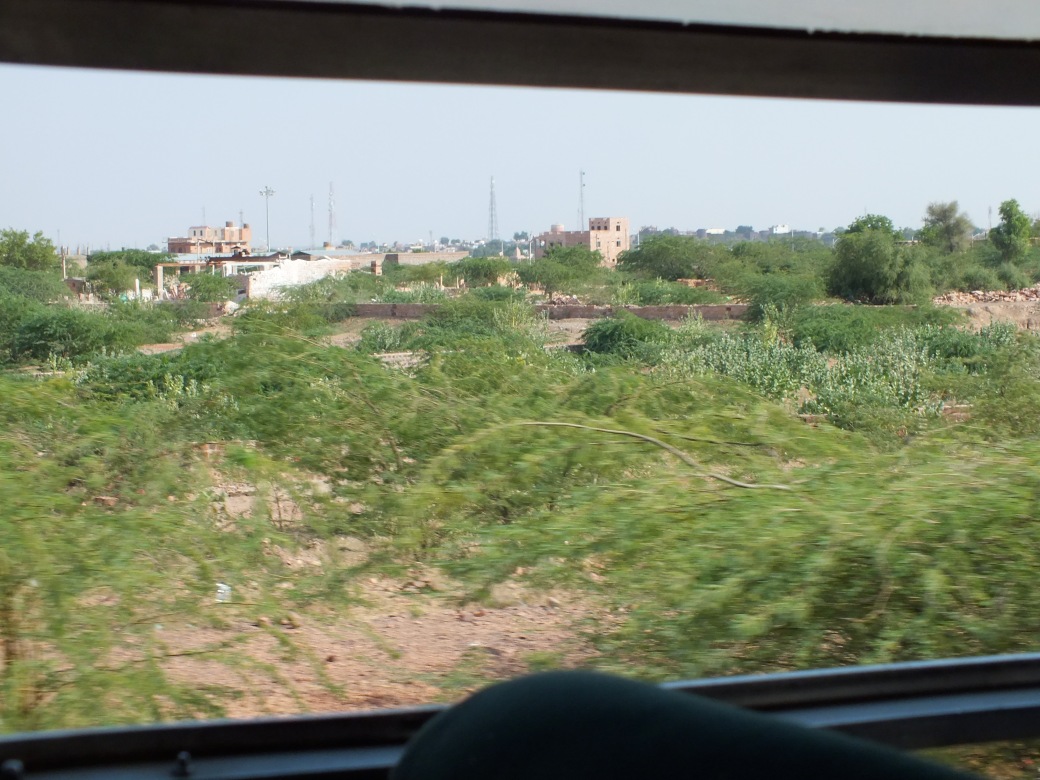
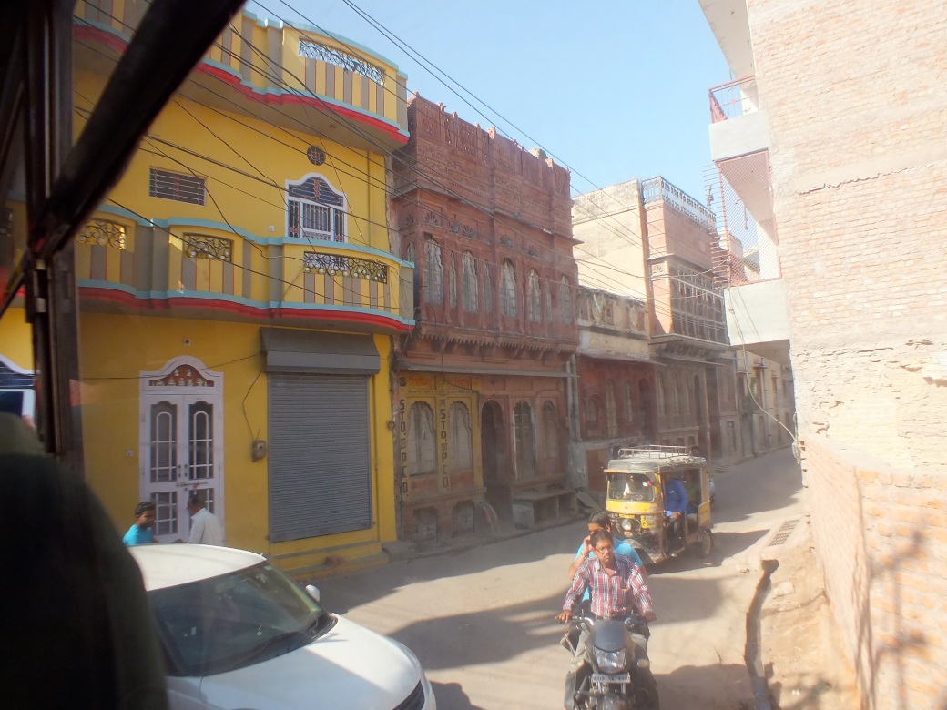
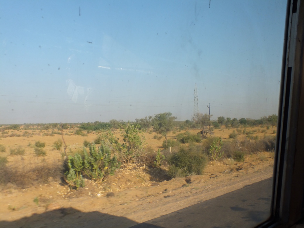
After our visit with the warriors we start our long road trip by heading to Pingliang (near the right edge of map) at the base of Mount Kongtong, one of the holiest mountains in Chinese Taoism. Once past the modern roads around X’ian we are introduced to more typical rural fare, generally very rough, sometimes abruptly ending in construction sites. Generally, the landscape is also rough, low hills interspersed with modest villages and sometimes cultivated fields.
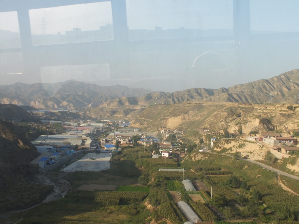
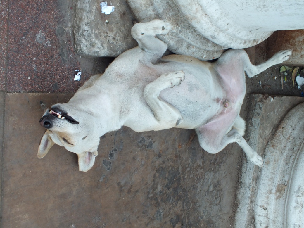
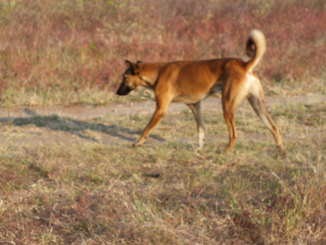
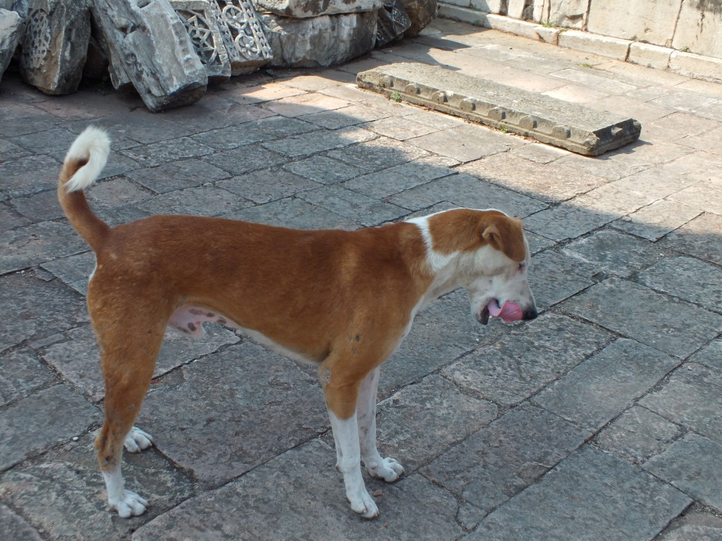
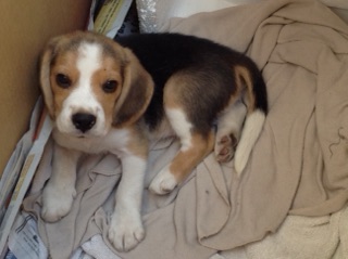
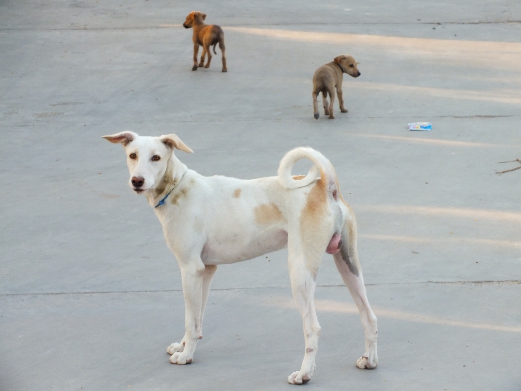
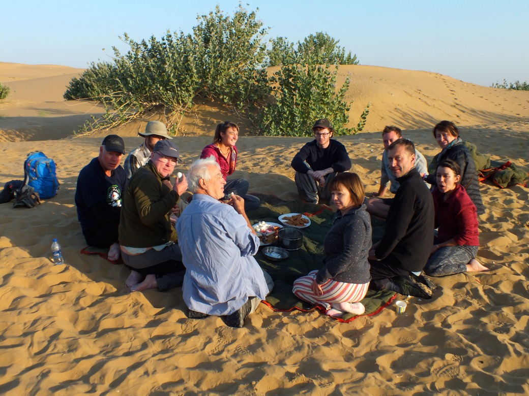
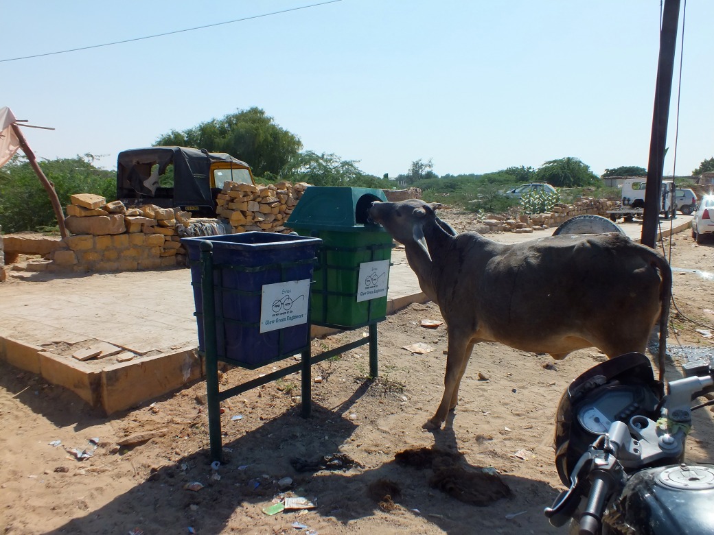
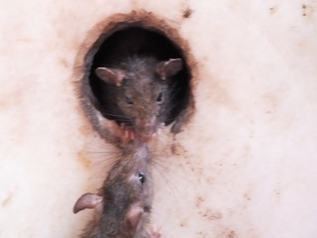
On the outskirts of Pingliang, a piercing shout from the front of Aziza: a small dog is wandering the centre lane. We pull over to rescue the tiny beast, who is soon wrapped in a bath towel, enjoying a few scraps of food. Jody is agog. A mascot. Fortunately when we reach our modest hotel our guide fashions a ‘dog for adoption’ sign’ and a foster family is soon found.
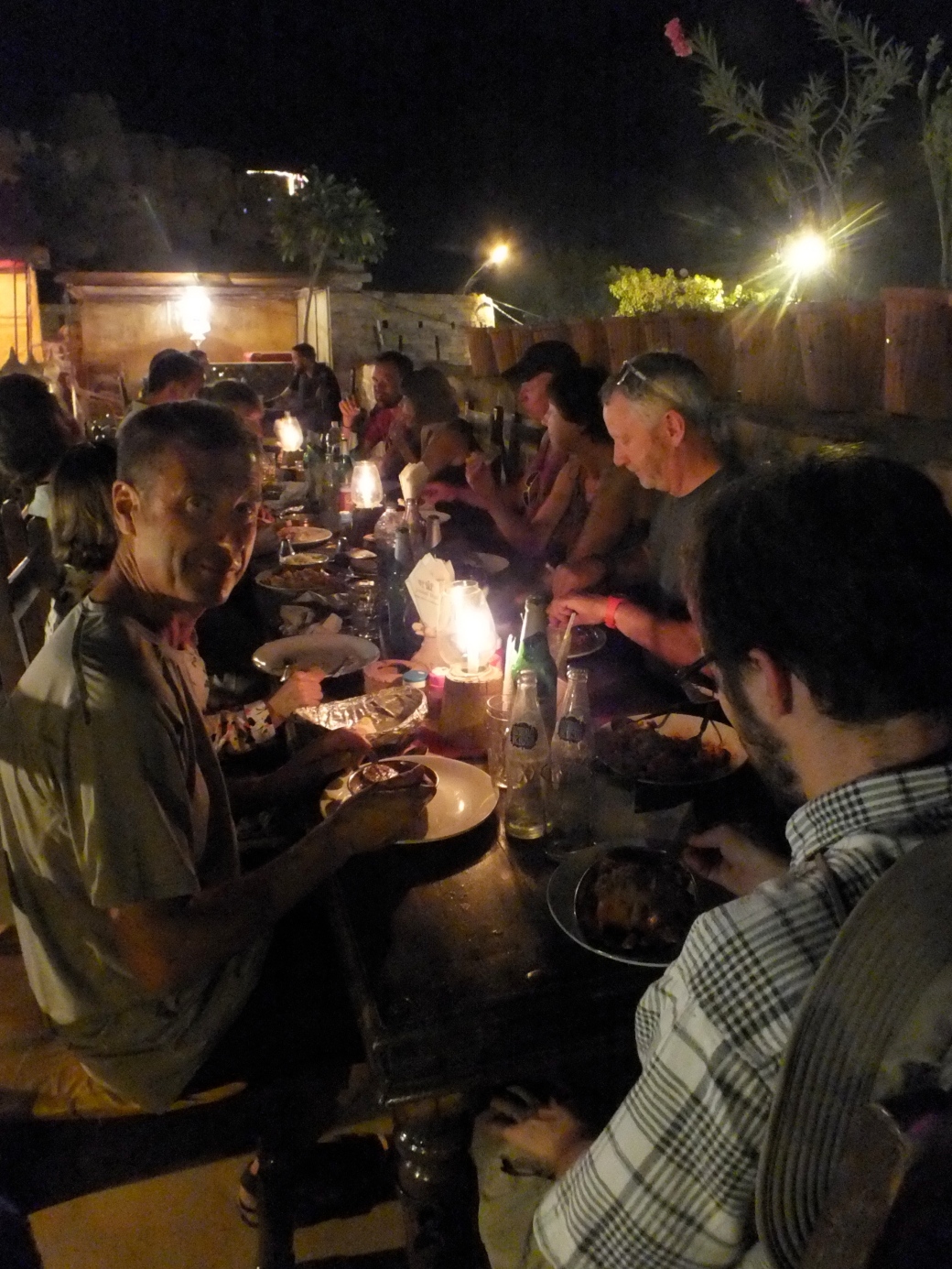
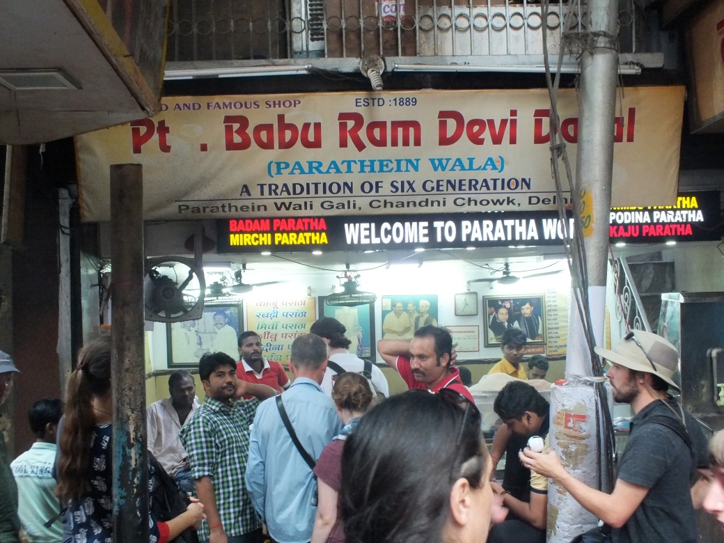
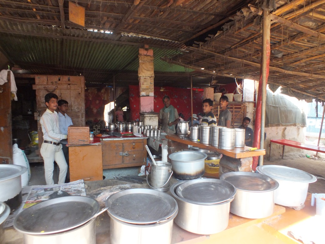
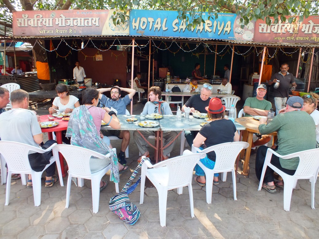
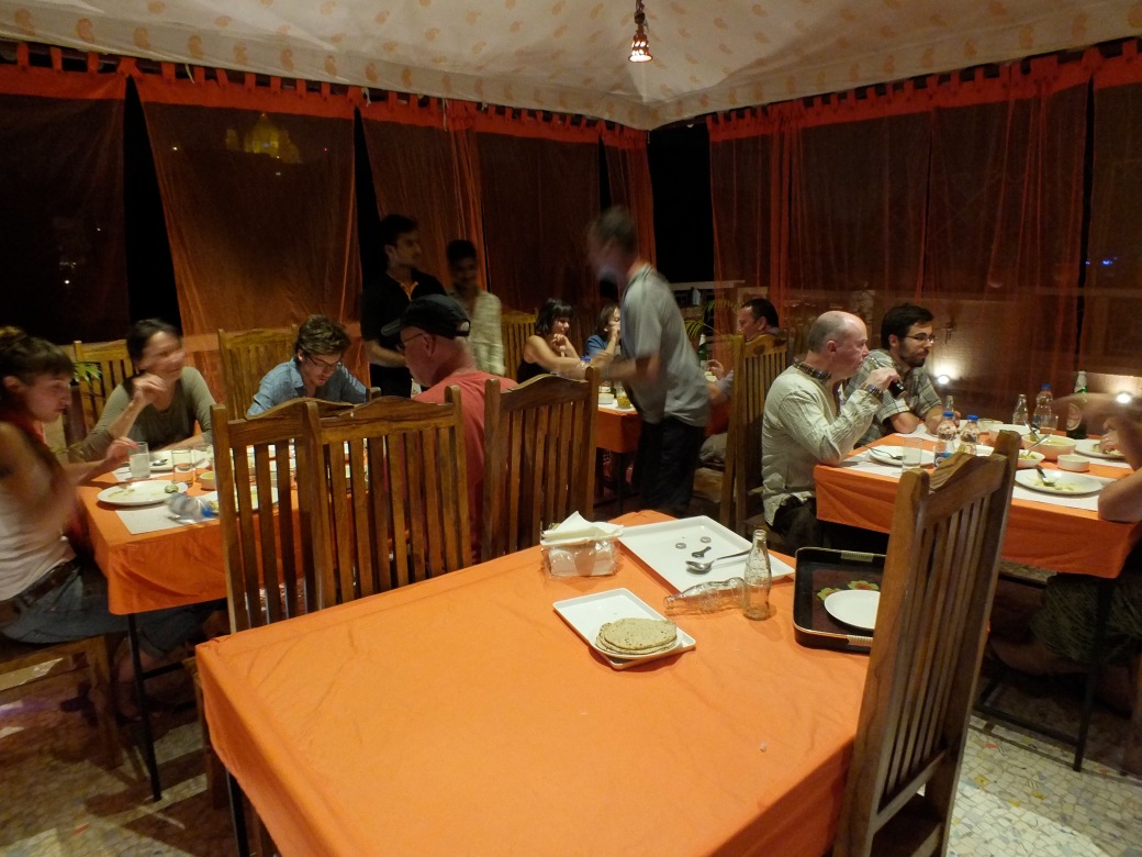
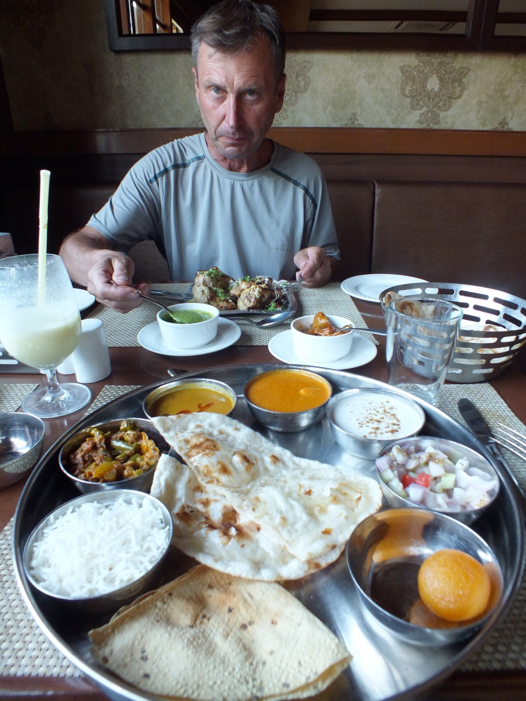
The hotel is decent, though the location is drab, at the crossroads of heavy truck traffic. For breakfast, I scavenge in a row of shops and street vendors across the highway, but for dinner we enjoy a fine hot-pot with lots of interesting vegetables and other things in a fine restaurant nearby.
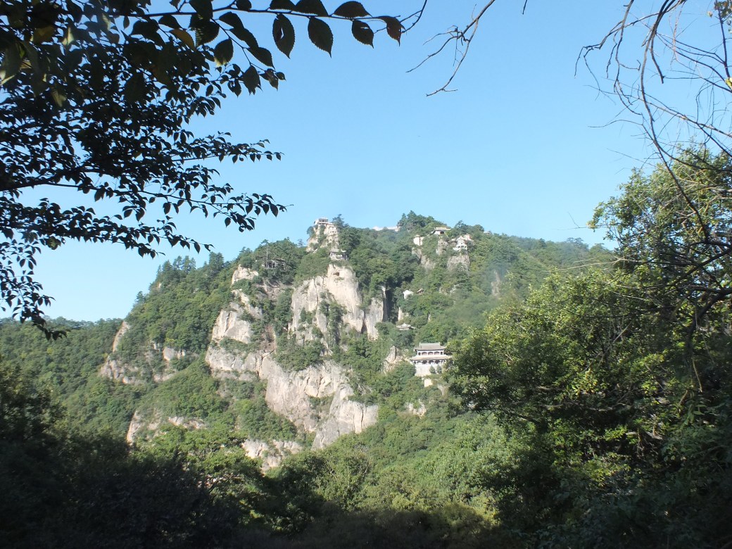
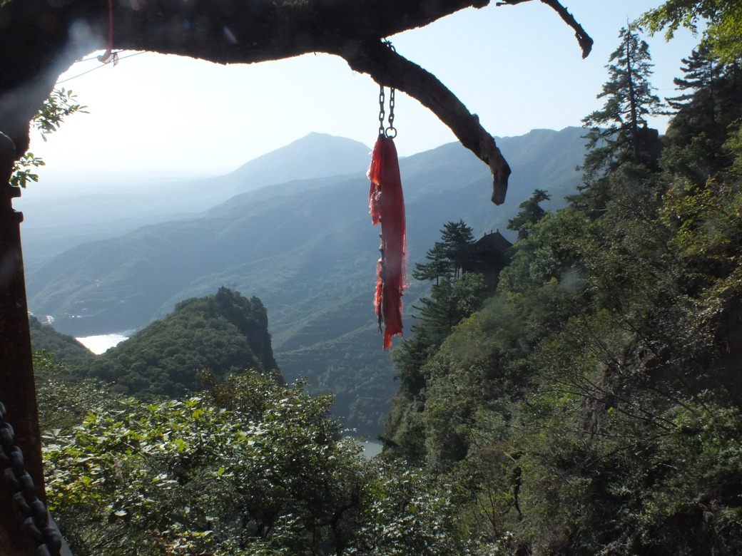
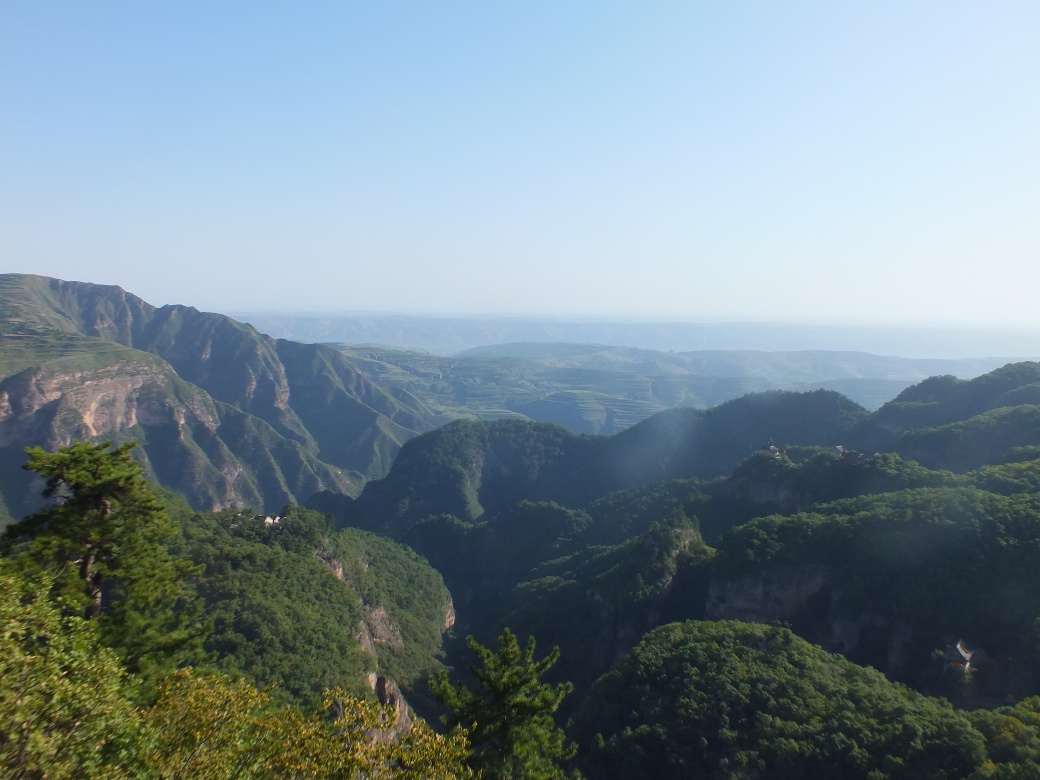
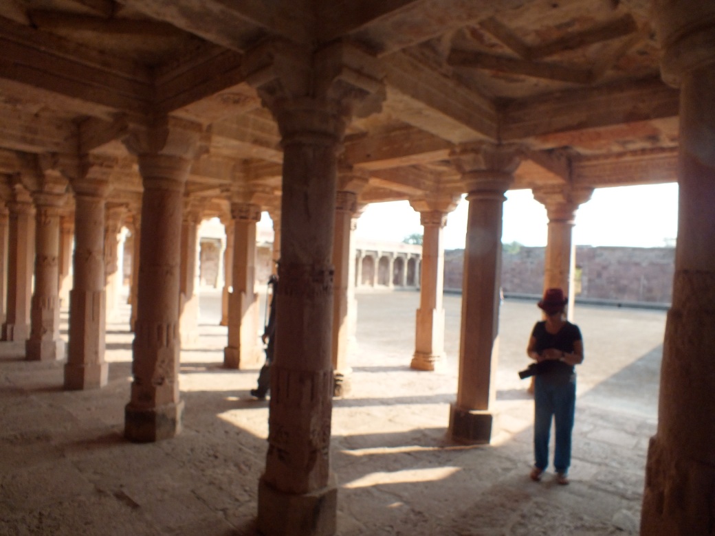
Next morning we head for Mount Kongtong, and spend a good part of the day hiking up and down its paths. Most of this time I enjoy the company of Ariana, in copacetic conversation. She had just finished an MBA, with a stage in HongKong maybe, celebrating with a trip to southern China and now the same section of the Silk Road as me. She planned to return to Heidelberg to take over her father’s business of manufacturing high-tech tools for opticians.
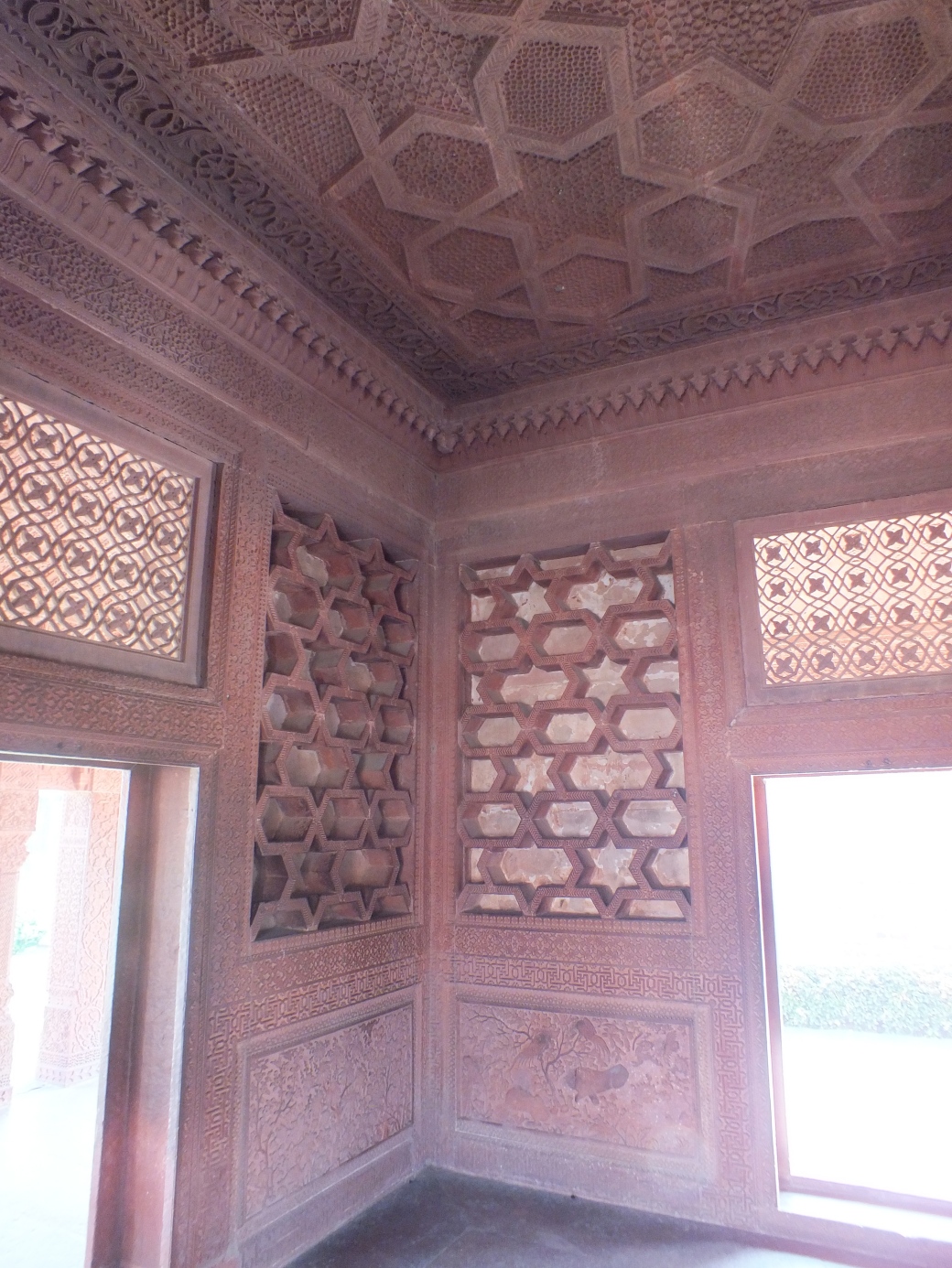
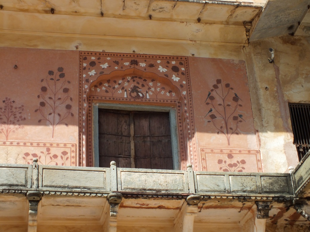
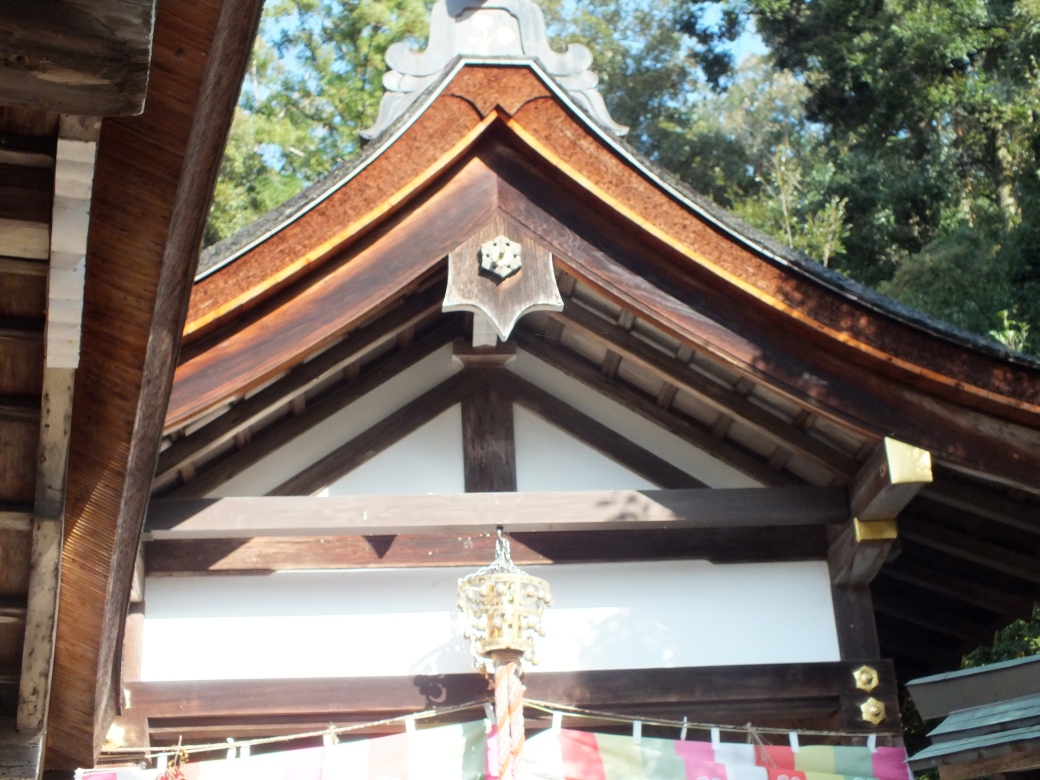
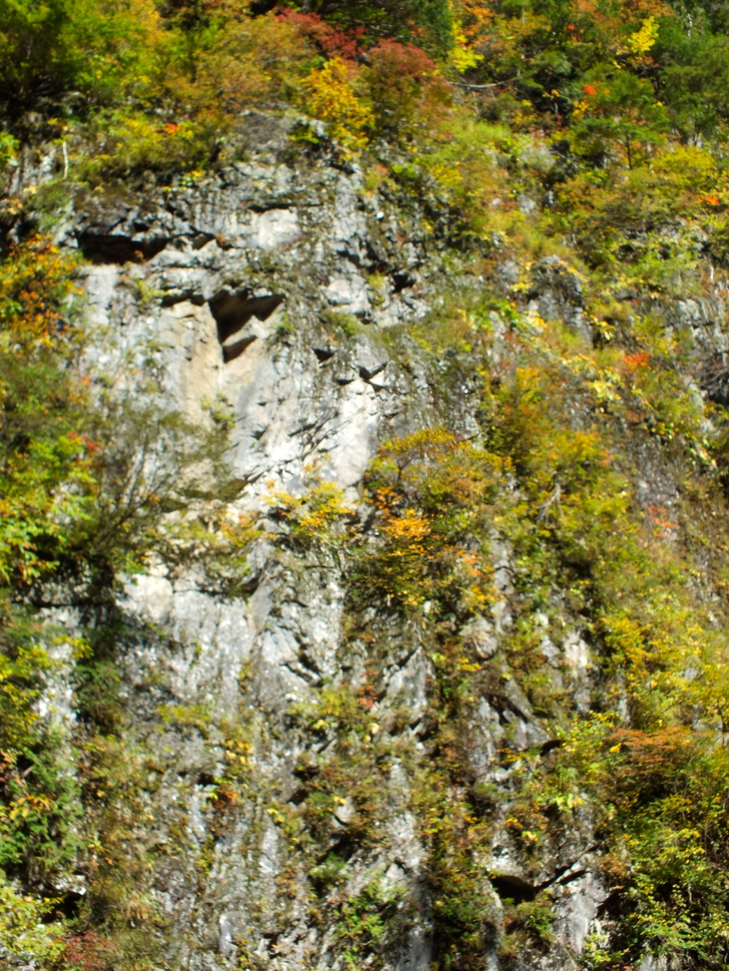
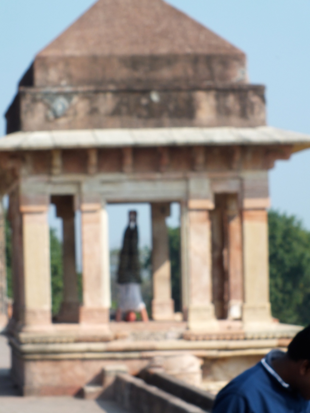
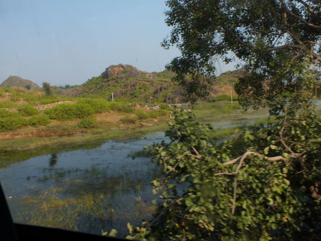
The mountain scenery, interspersed with Taoist shrines, is spectacular.
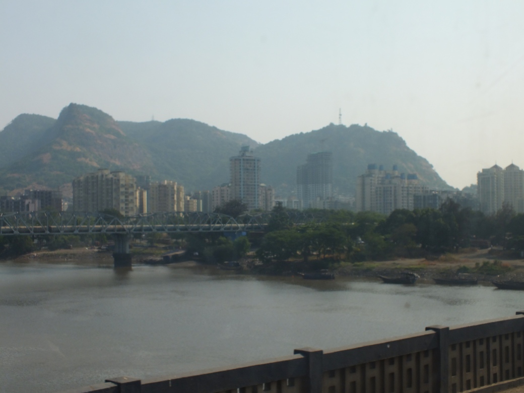
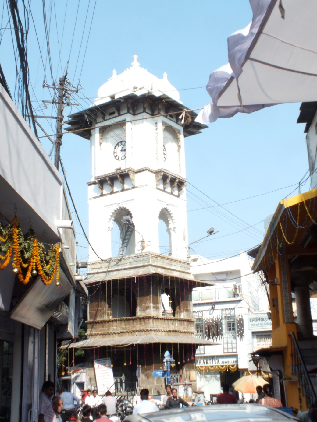
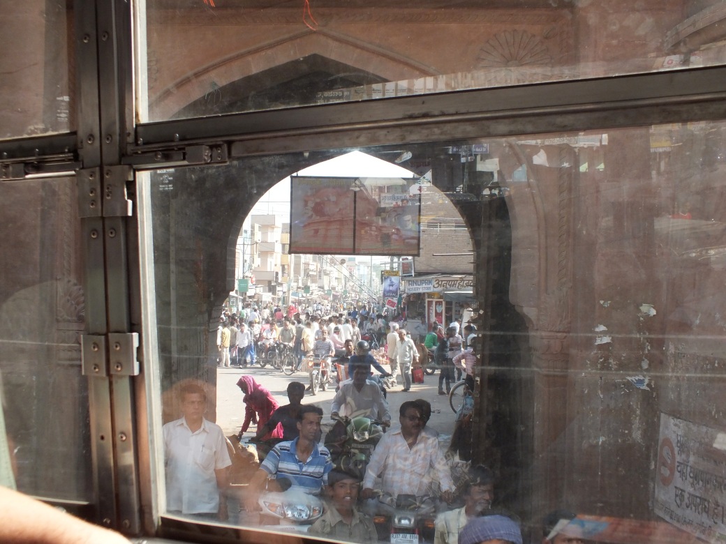
A short trip in the afternoon and we enter a large city, Lanzhou, the ‘chaotic capital’ of Gansu.
Our hotel is mediocre, but we wander into the exciting market to sample some delightful wrap-type stuff. Later a few of us- Ariana, Kelly, Marian, Susan, later Graham and Tom and Jane- end up on the patio of a corner bar. On a hot night, we enjoy a few drinks and are joined by ‘Richie’, the apparent owner, a local who had lived in Vancouver or somewhere western. Richie orders more drink on his tab. Kelly butters him up as Jersey girls can do. As the level of hilarity mounts, we point out the great potential of his location, and begin drawing up plans for renovations and massive profits, all but signing a partnership on the fly…
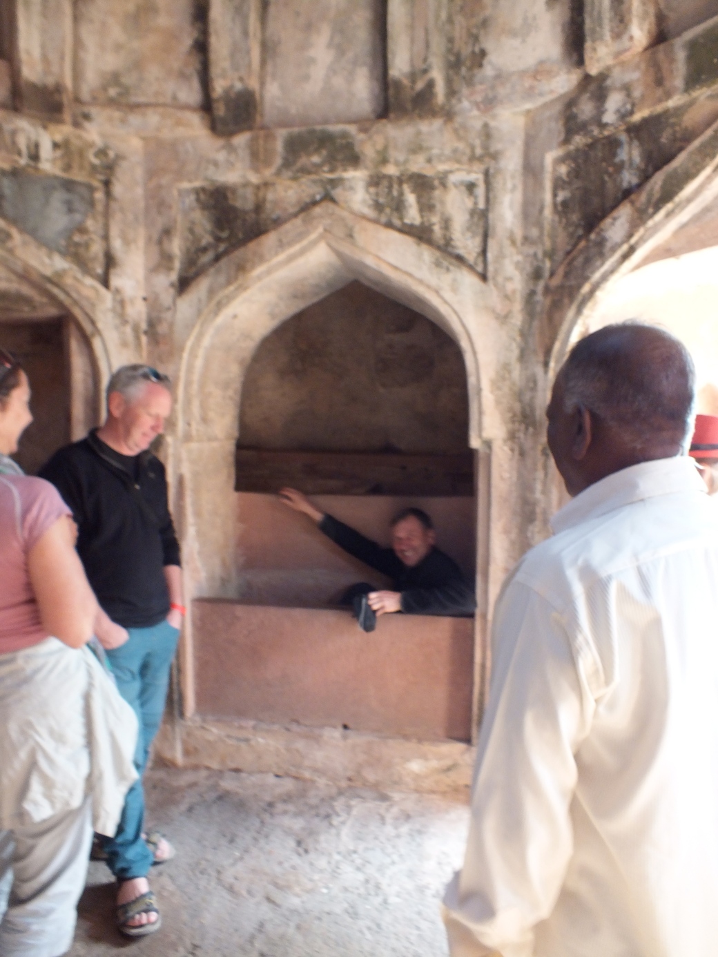
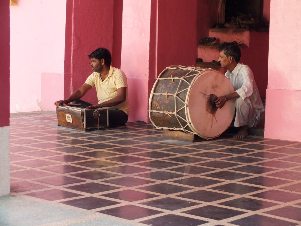
Remarkably, after a few days together we overlanders have already bonded pretty well despite our diversity. Being imprisoned on the bouncy roads probably has something to do with that.
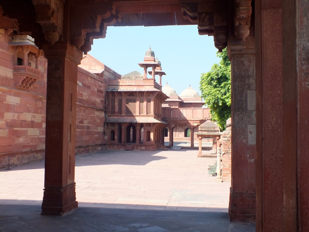
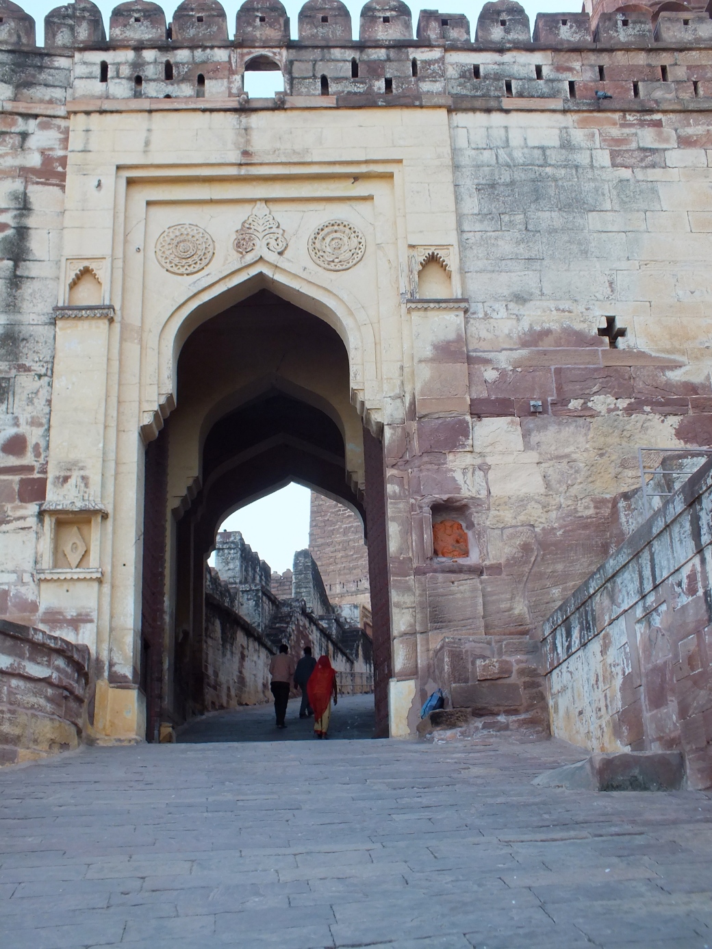
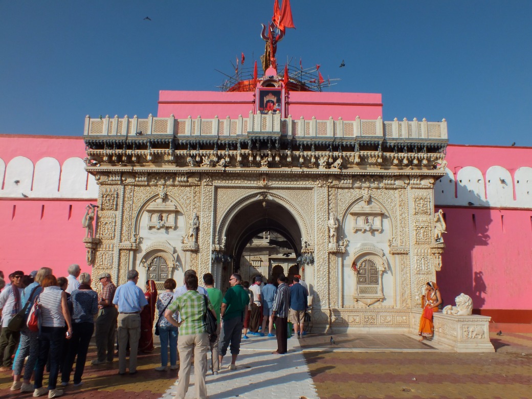
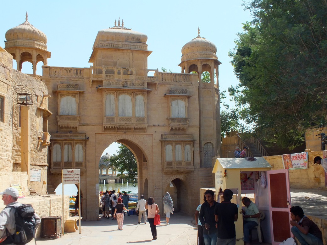
Xiahe
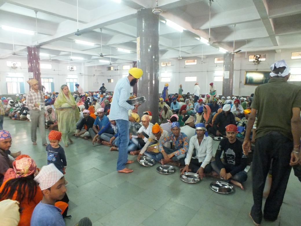
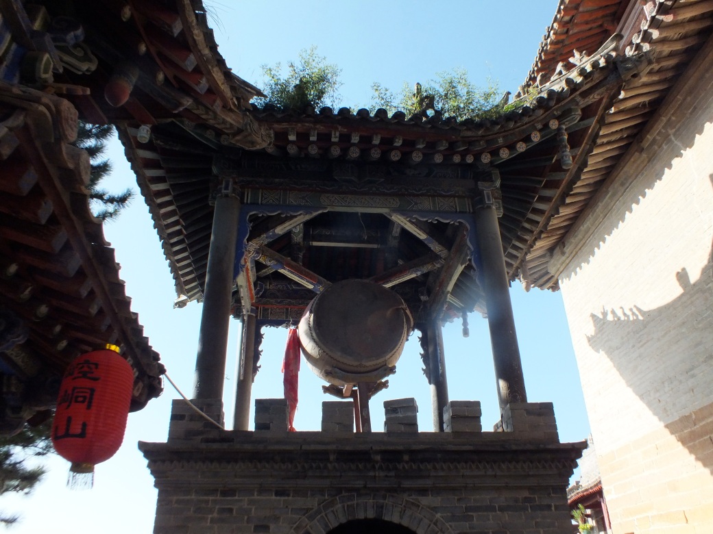
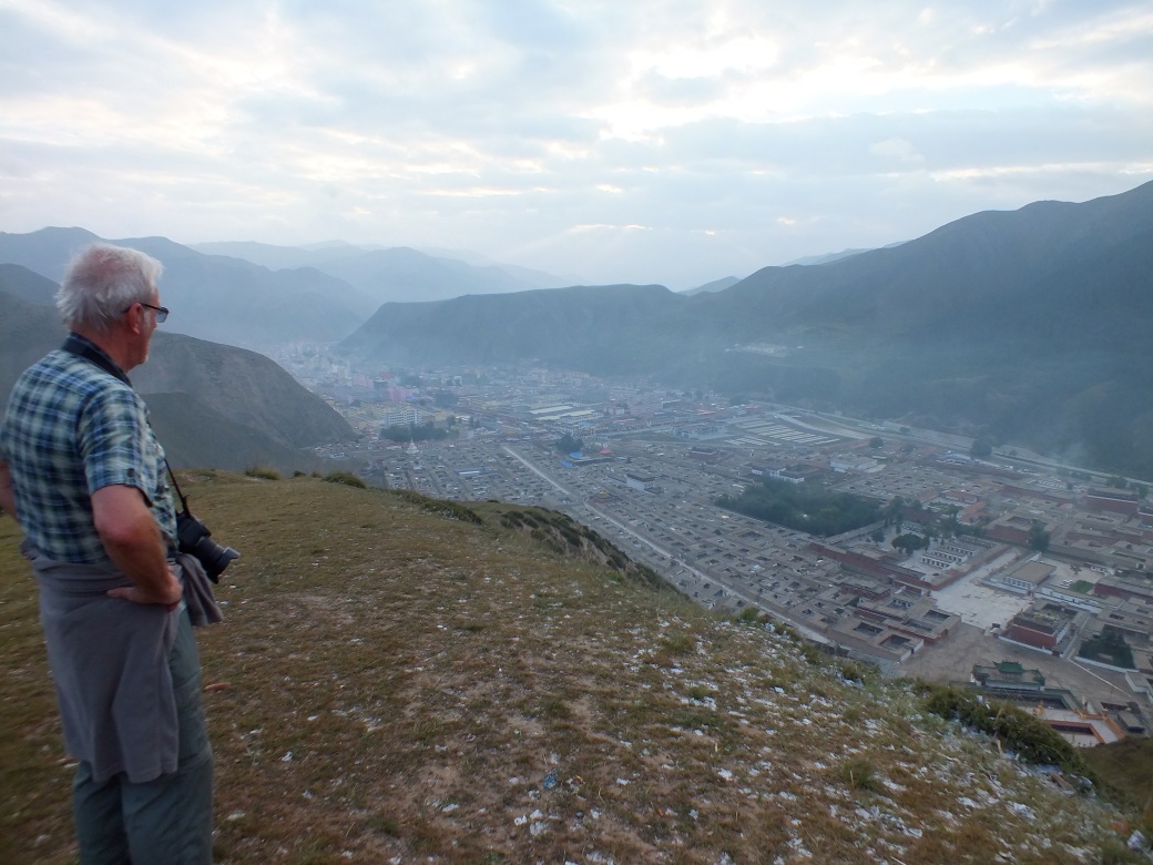
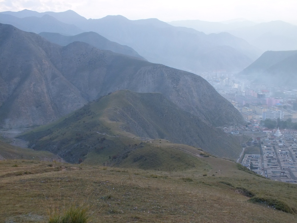
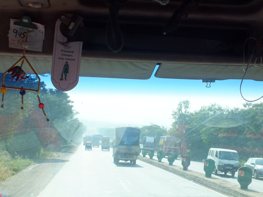
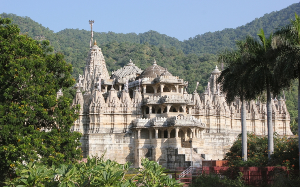
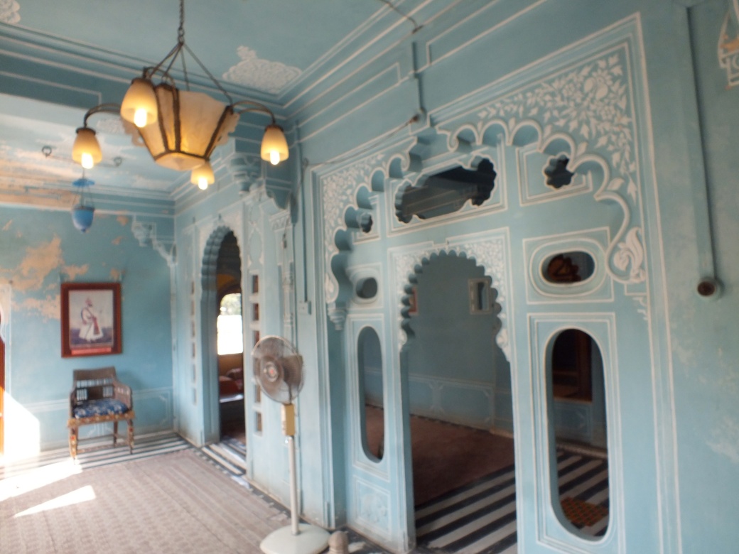
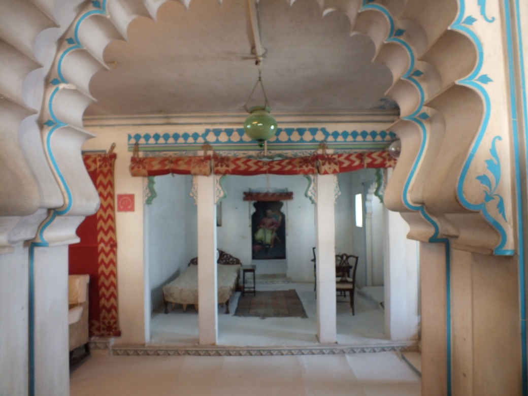
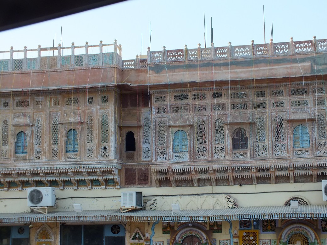
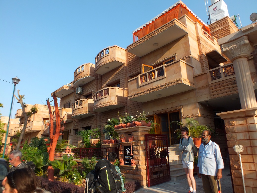
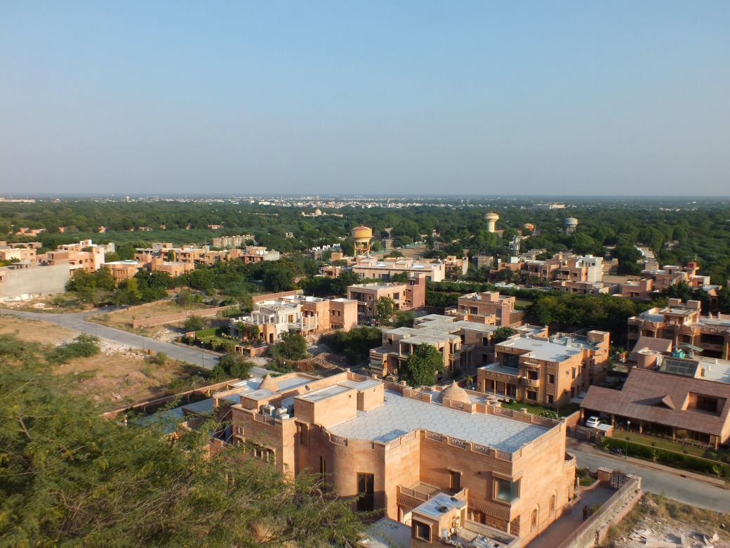
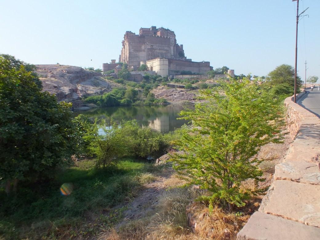
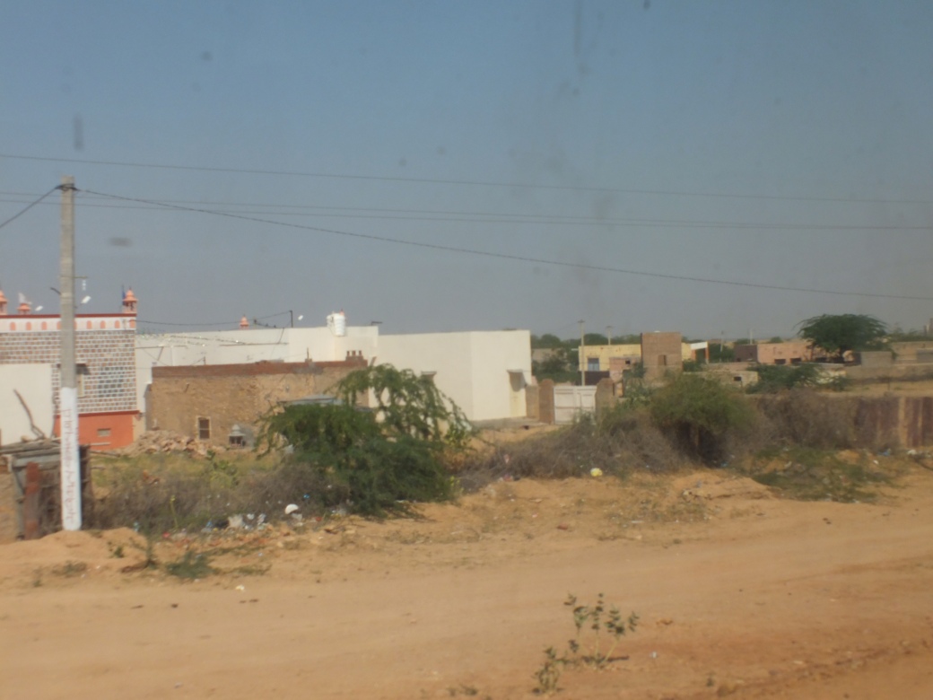
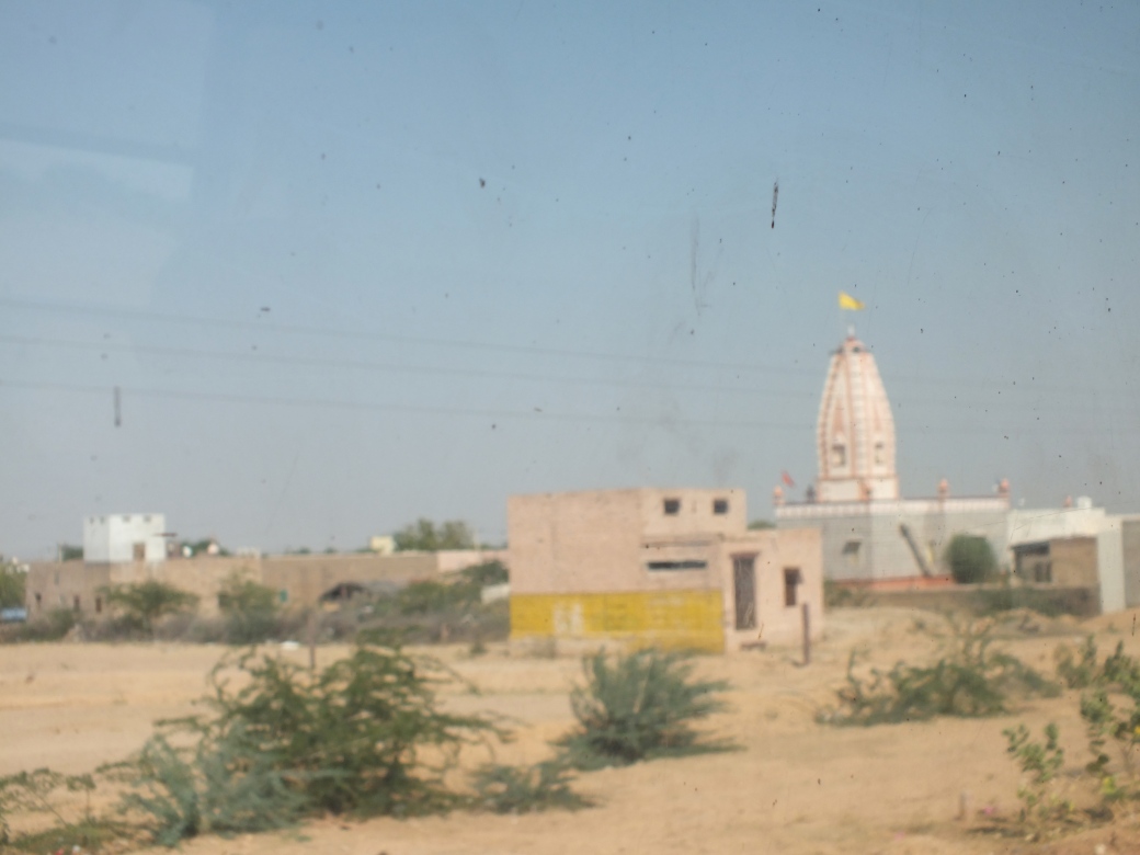
The next section on the road seemed especially long, over narrow roads up the tortuous Daxia river valley, often through construction, past monster cement plants and modest mountains in lower Gansu province bordering Qinghai. We were in fact headed for a particularly deprived area, the Gannan Autonomous Tibetan Prefecture, an enclave centered on the monastery town Xiahe on the lower Tibetan plateau, elevation around 3000 meters. Arriving in the afternoon, we are greeted by a quite fine hotel.
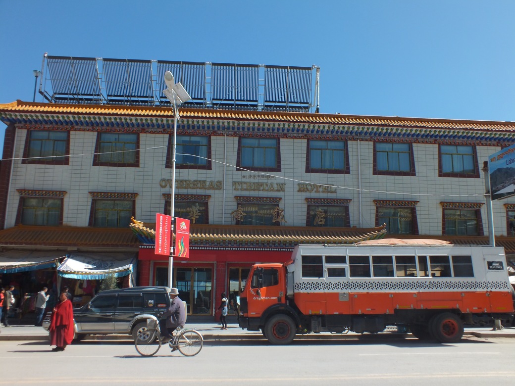
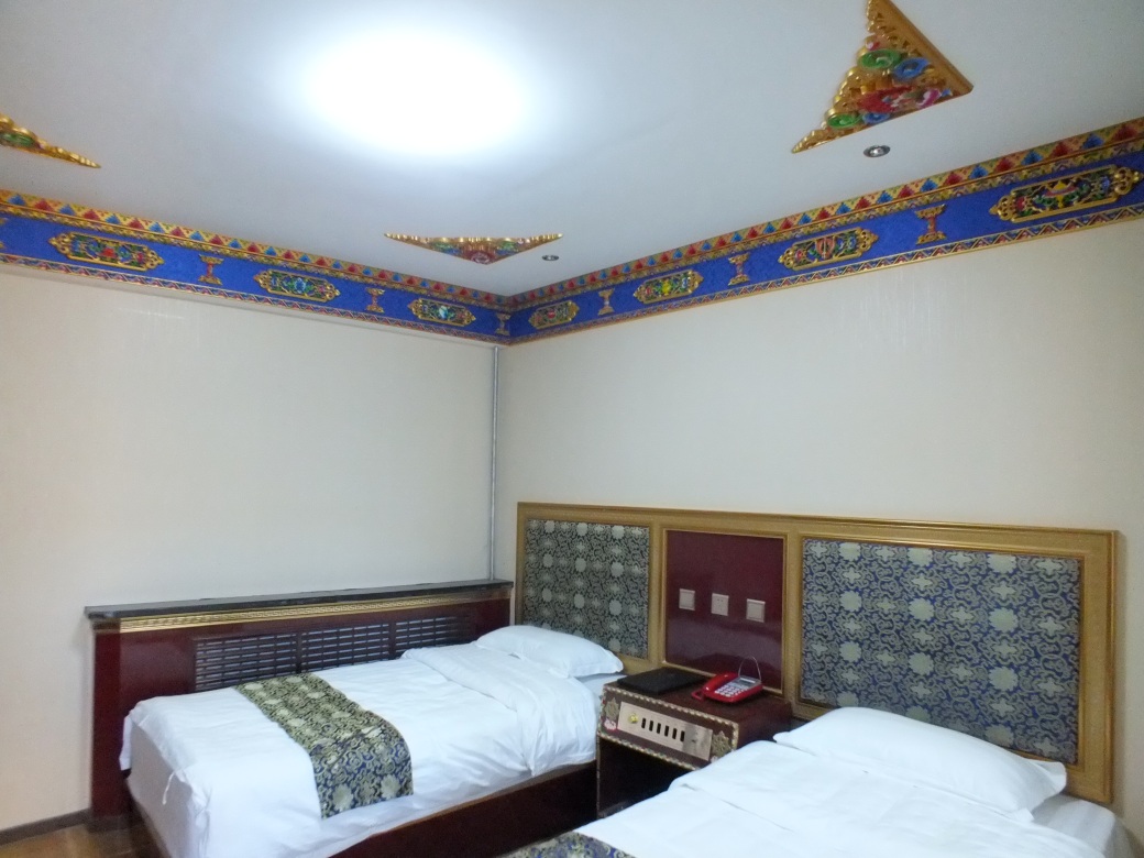
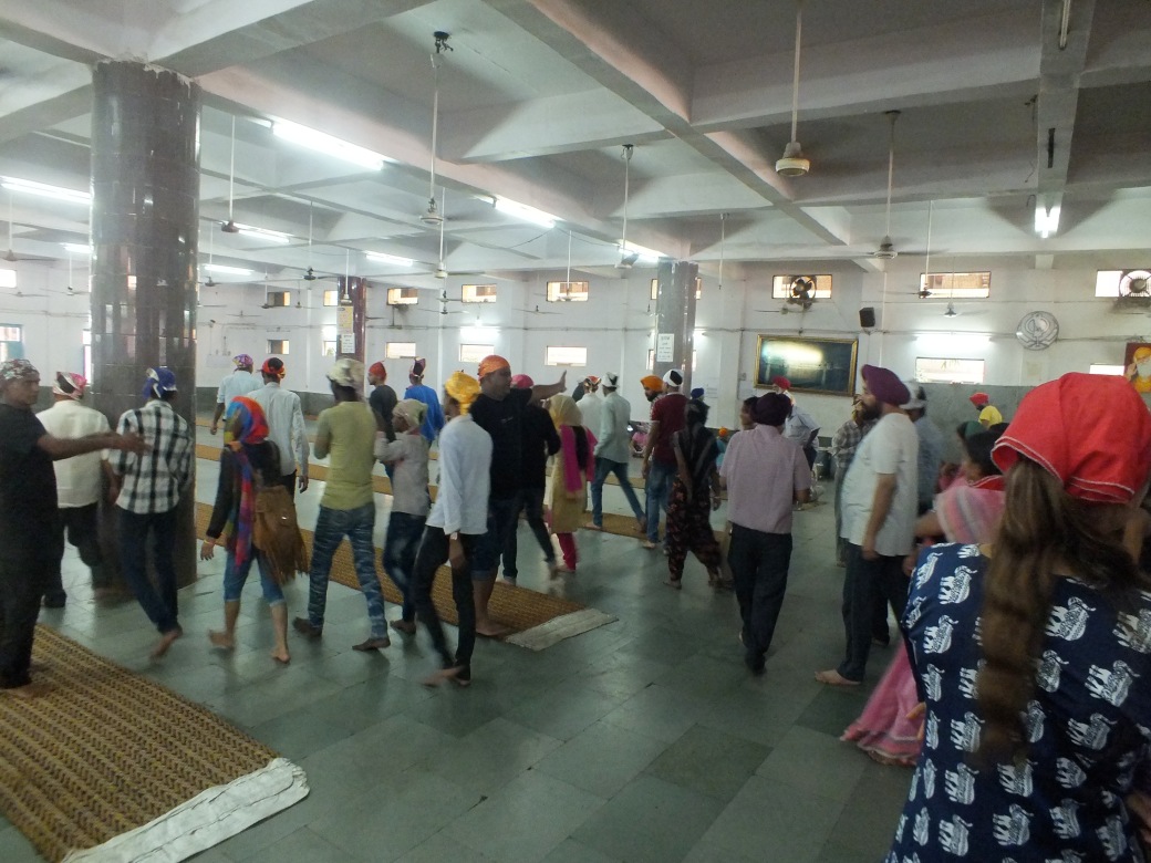
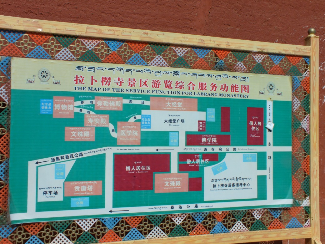
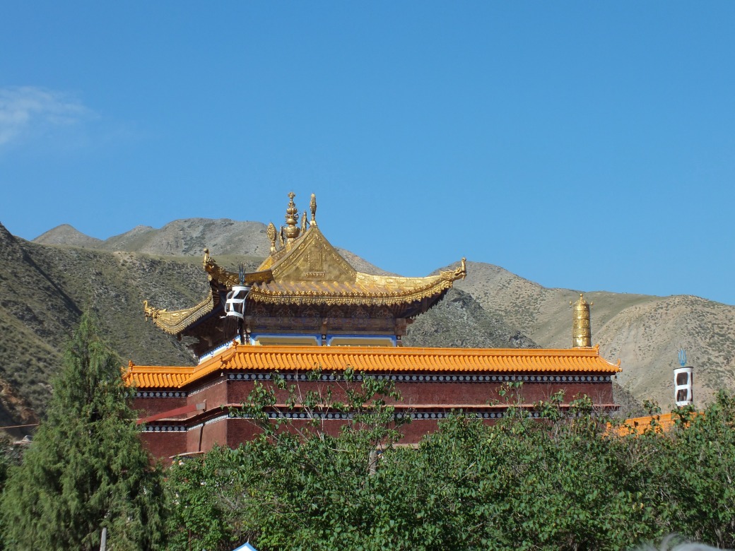
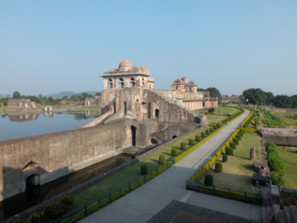
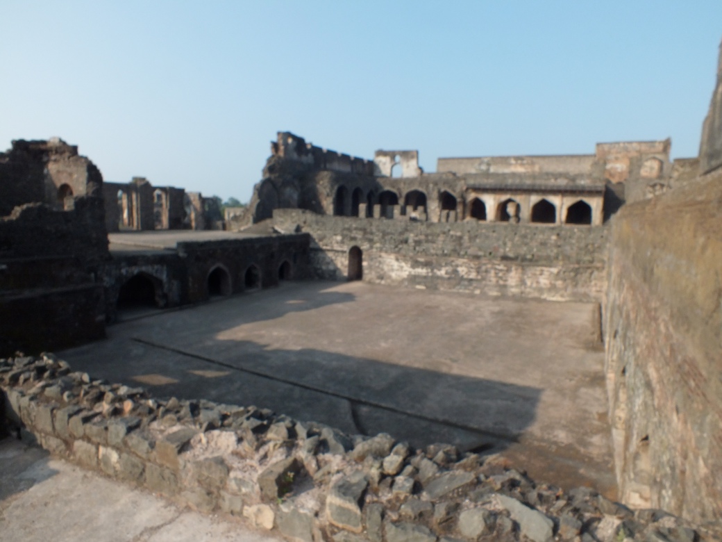
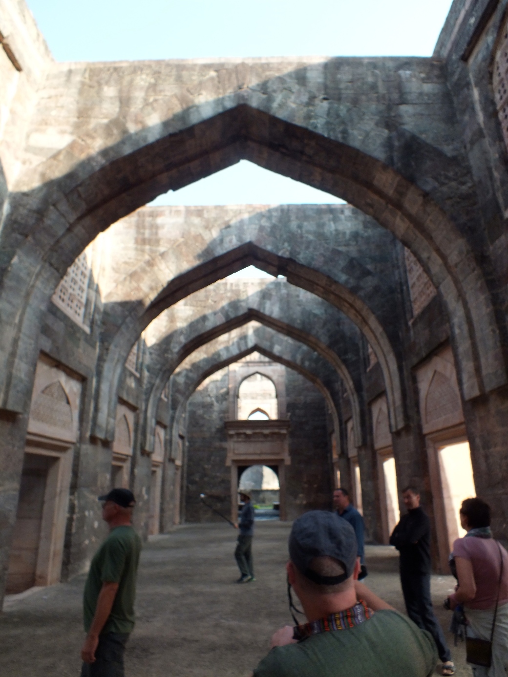
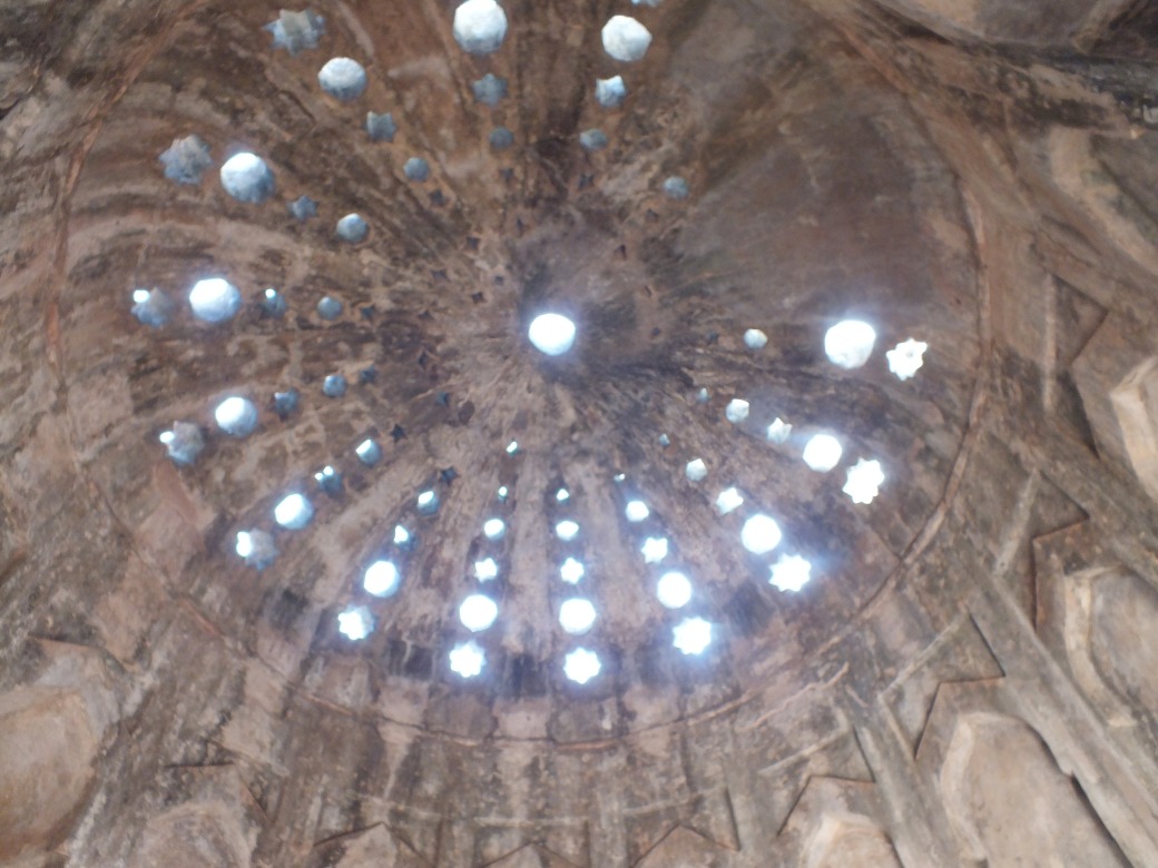
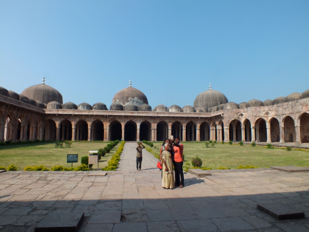
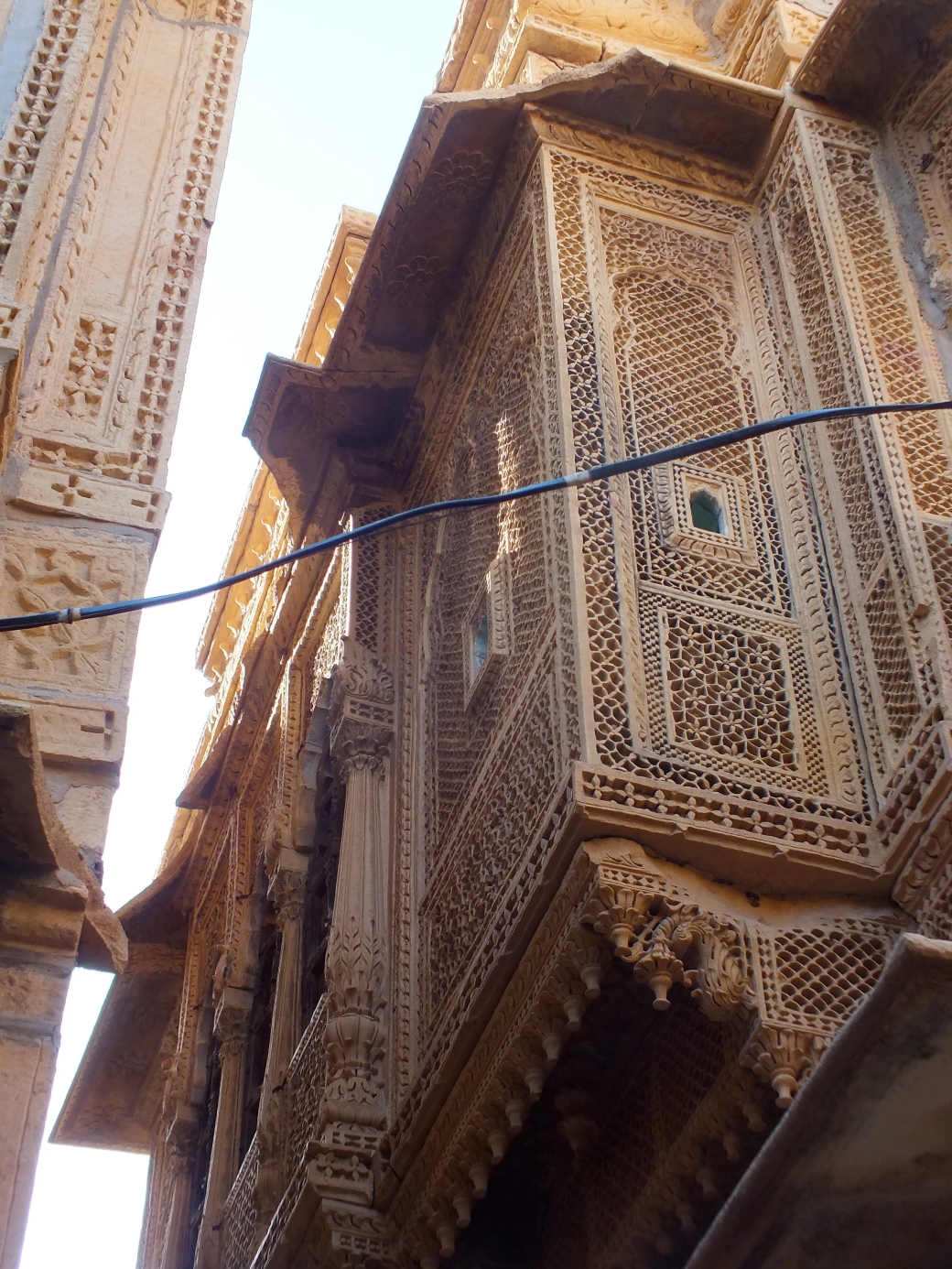
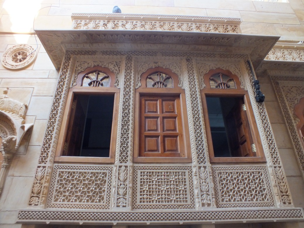
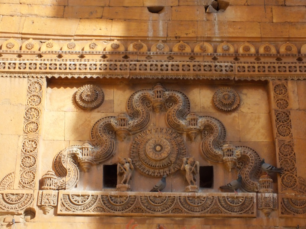
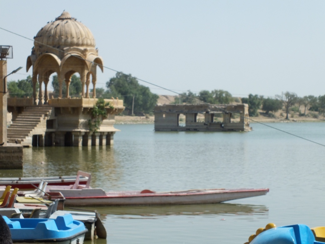
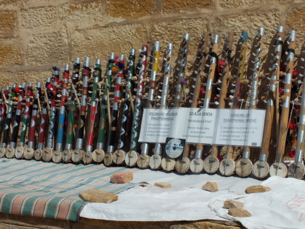
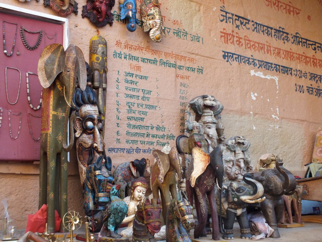
Xiahe itself is quite prosperous, driven by the pilgrimage of Tibetan Buddhists to the Labrang Monastery.

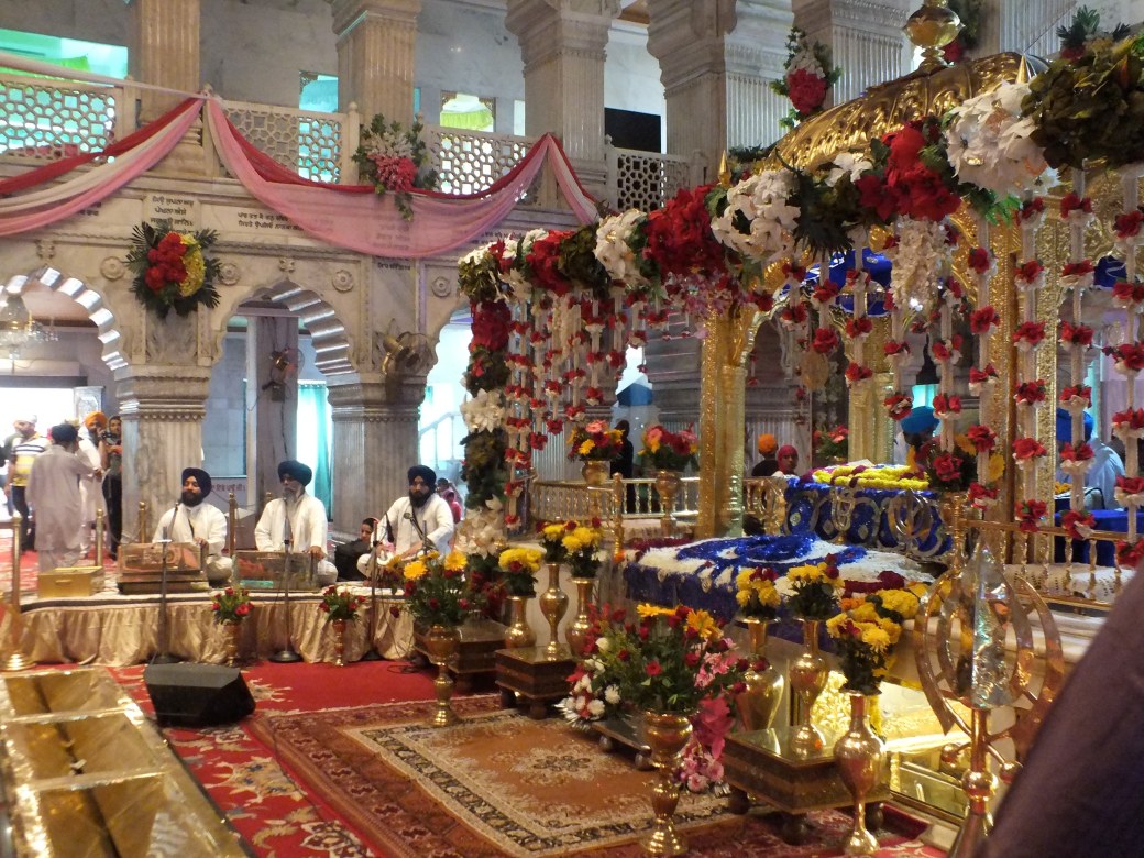
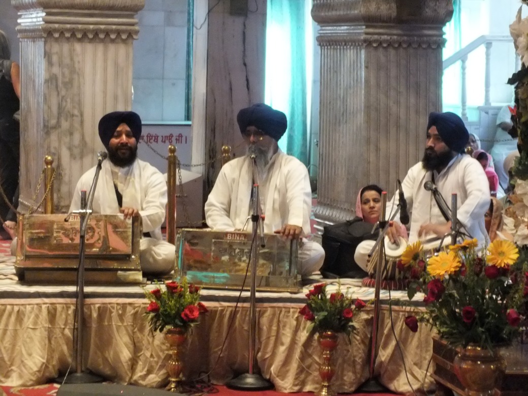
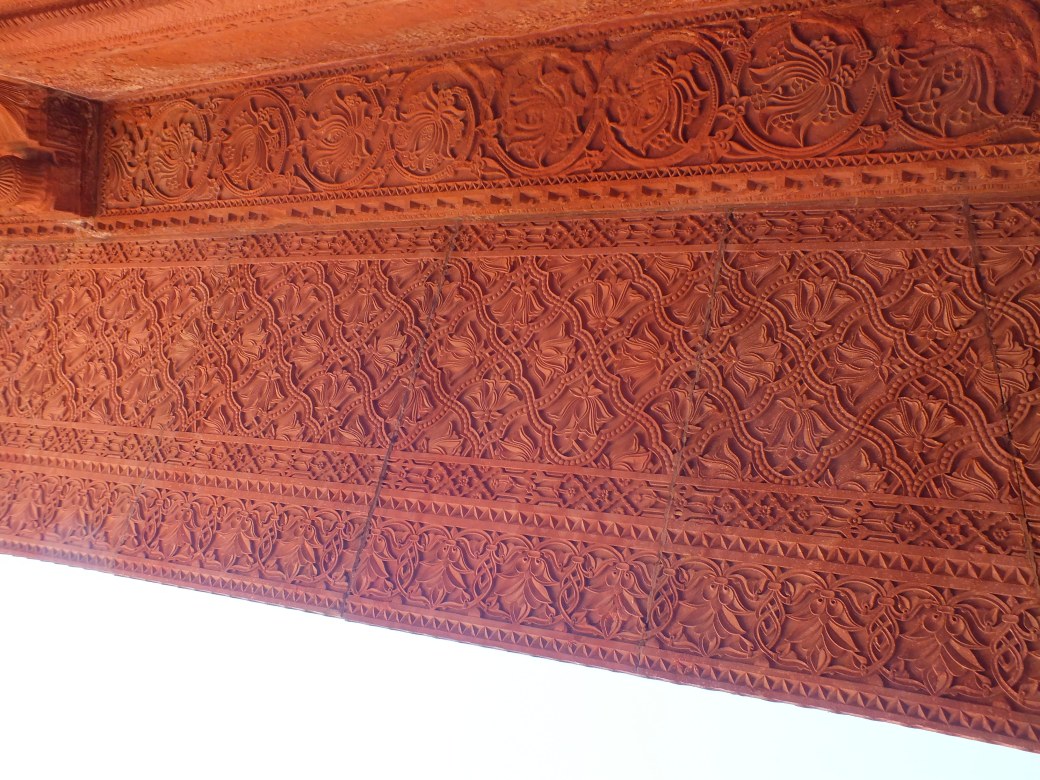
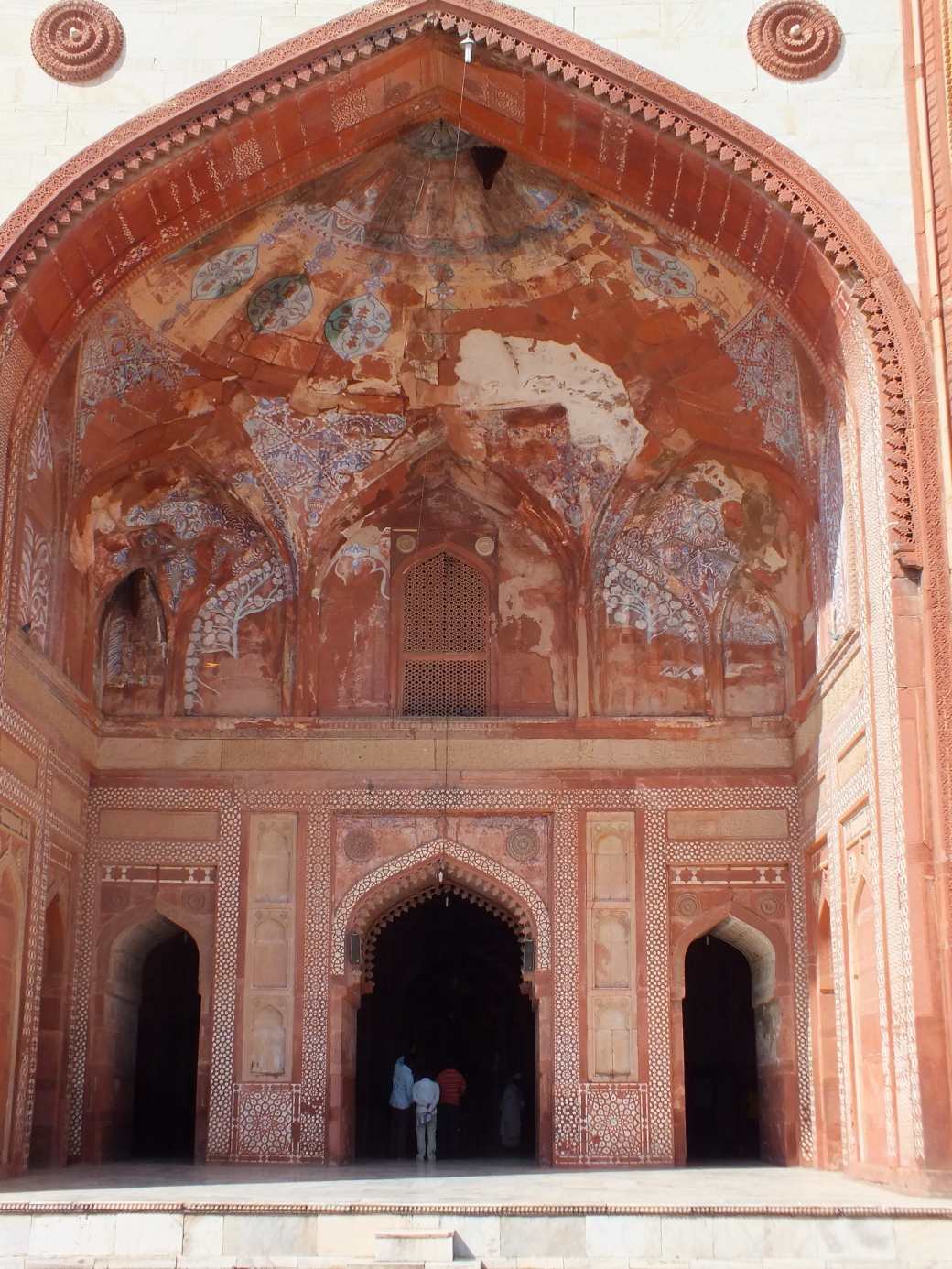
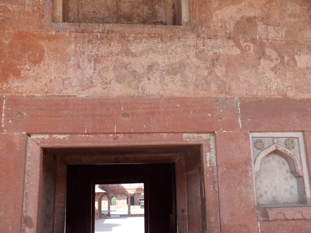
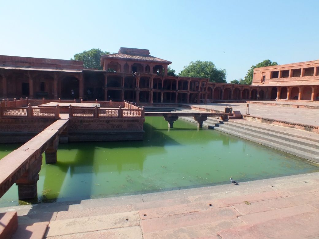
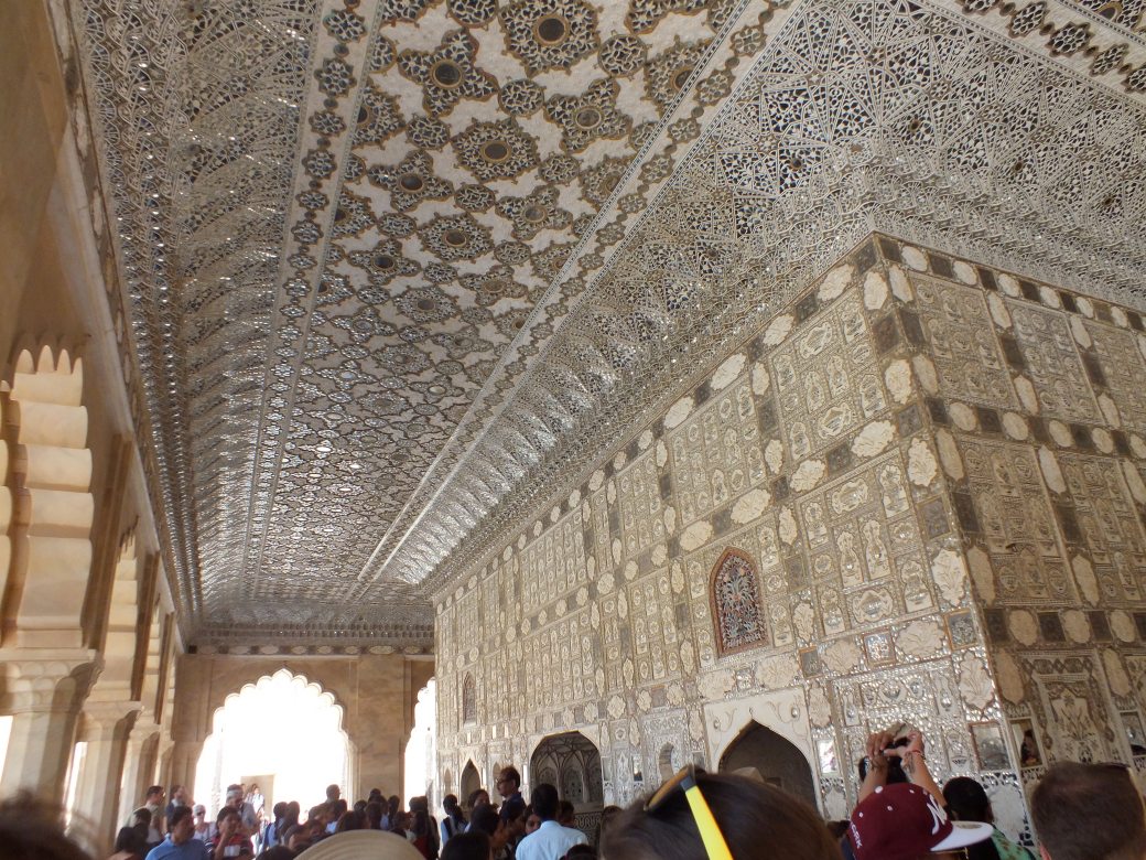
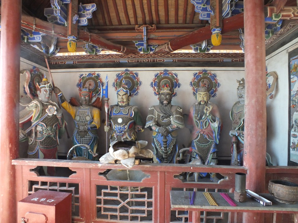
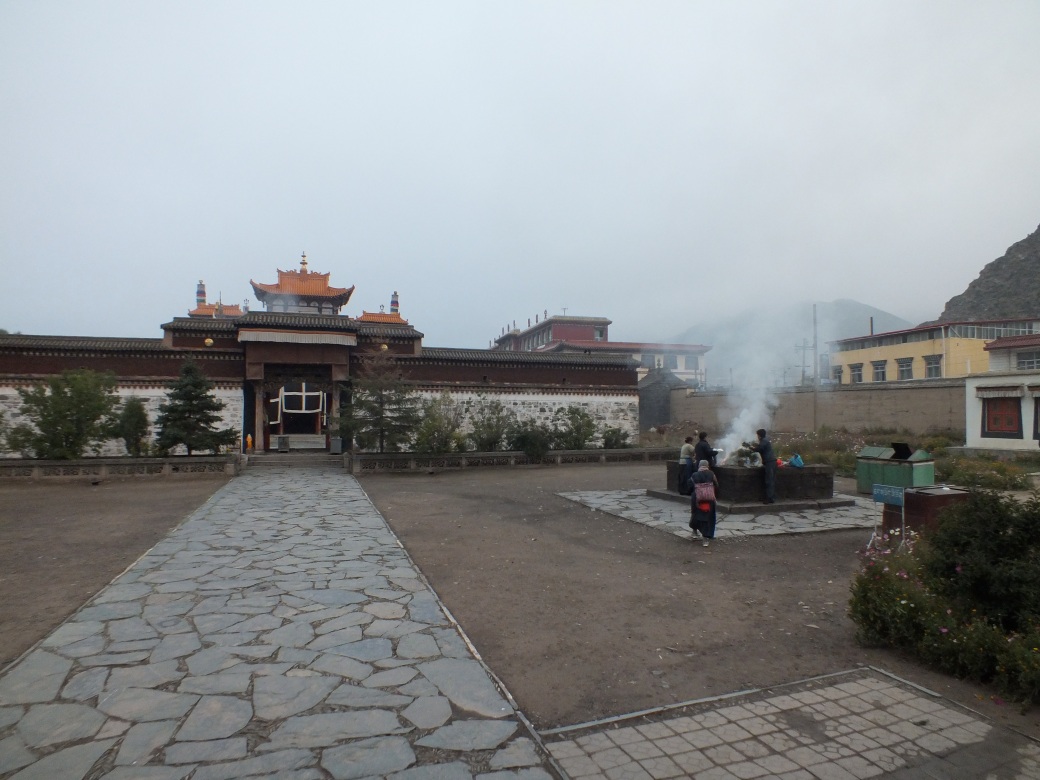
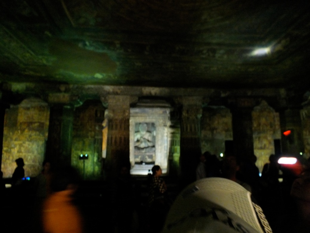
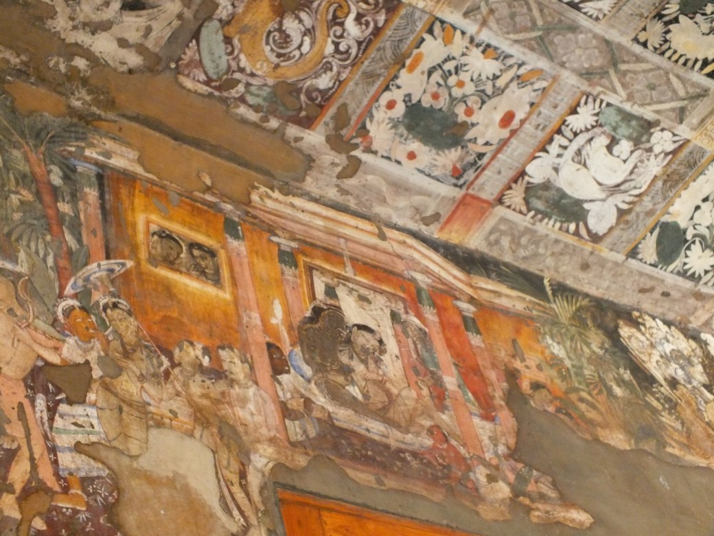
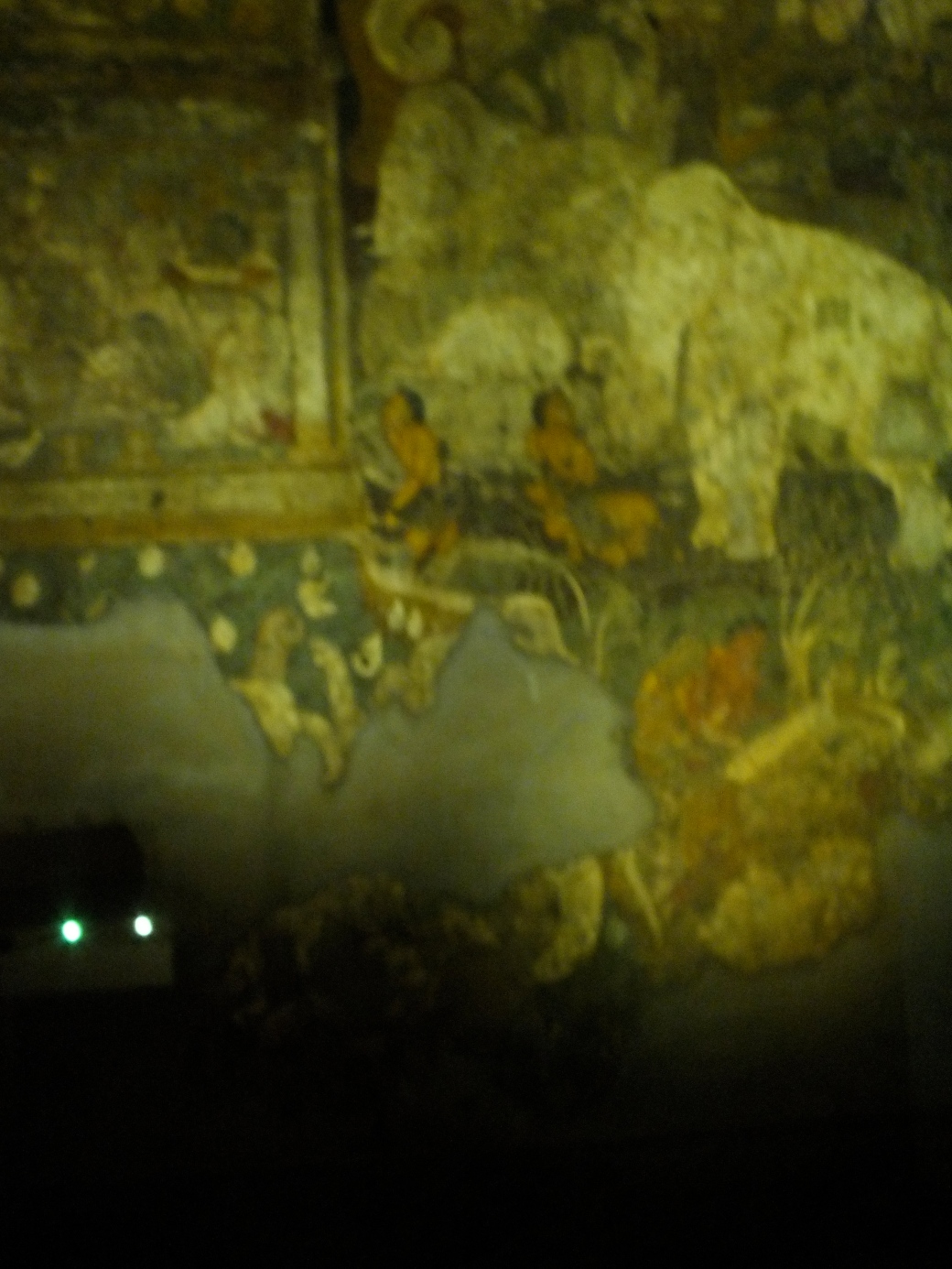
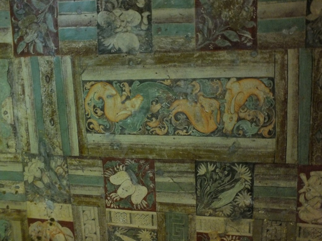
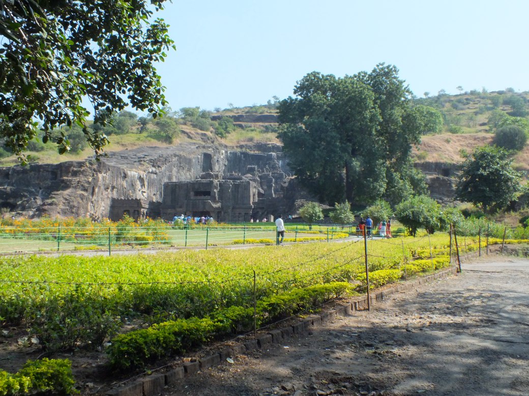
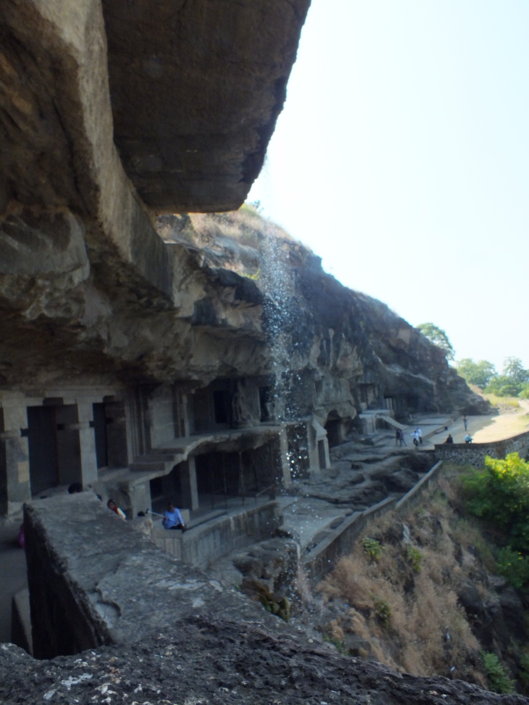
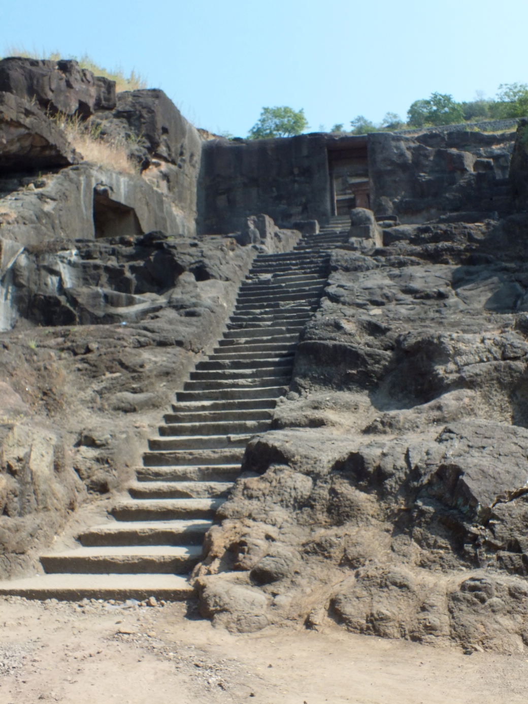
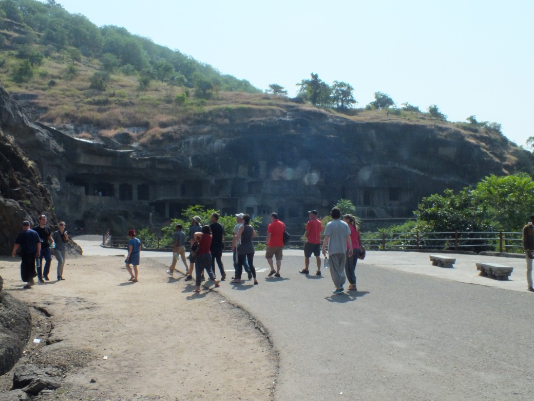
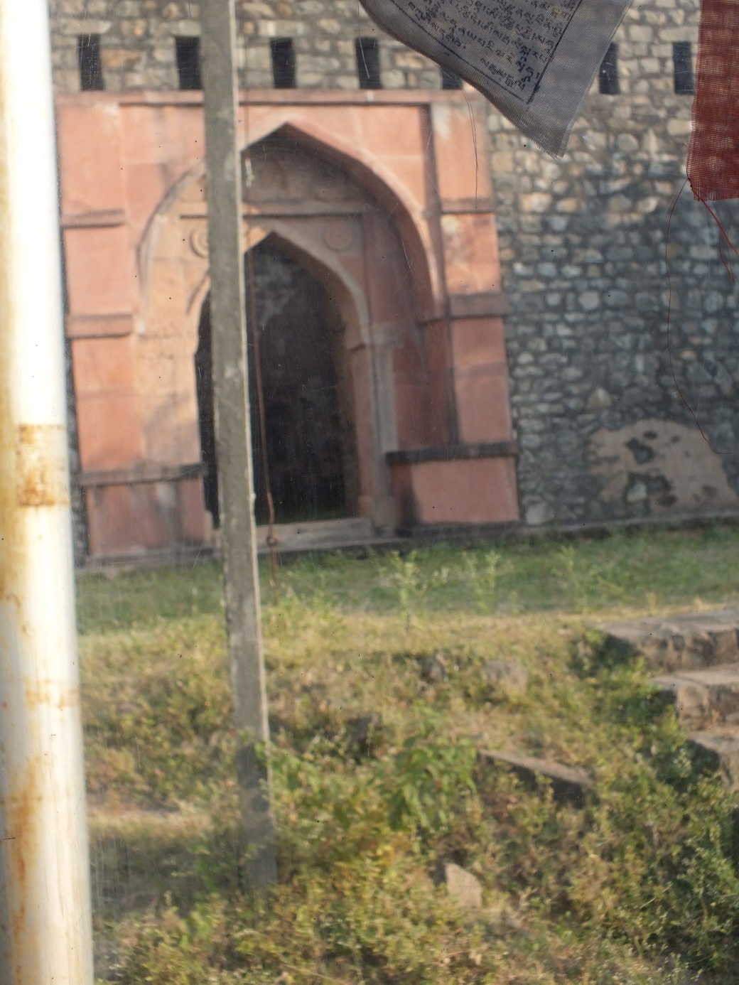
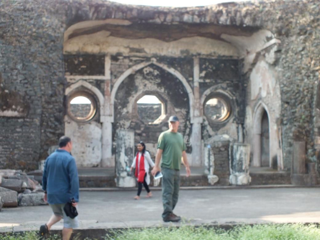
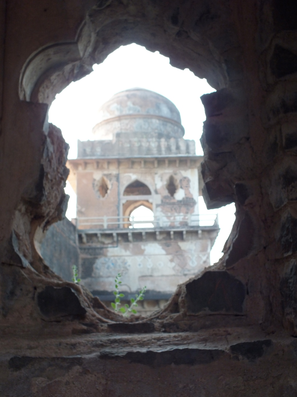
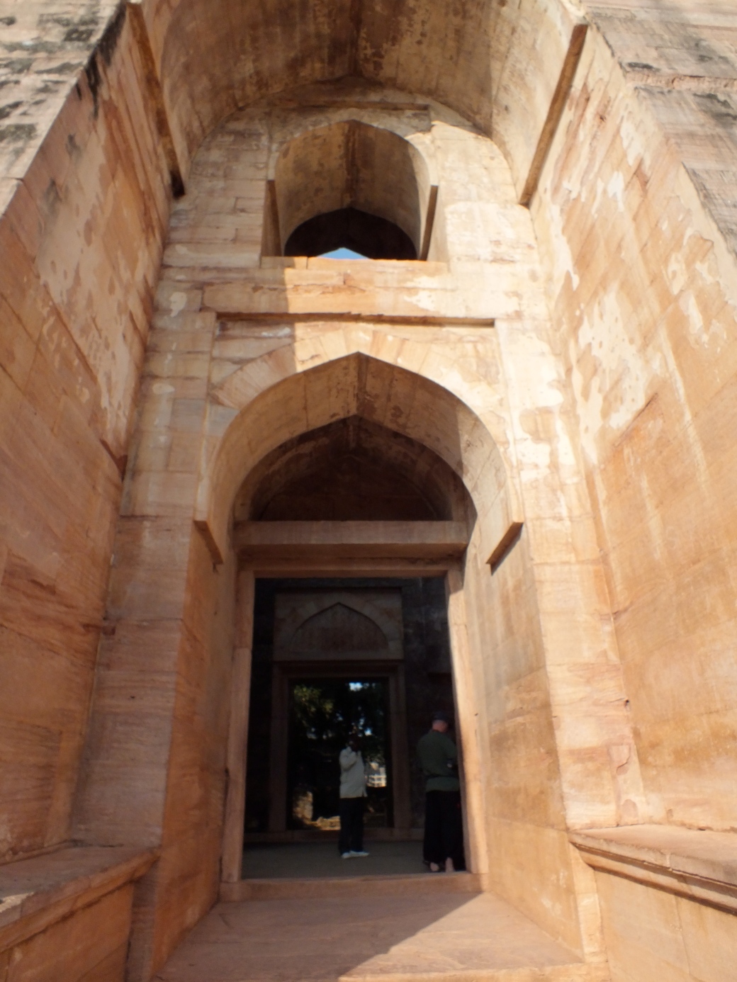
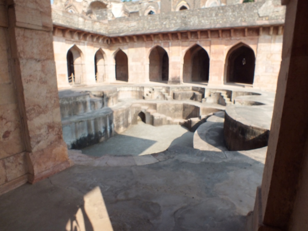
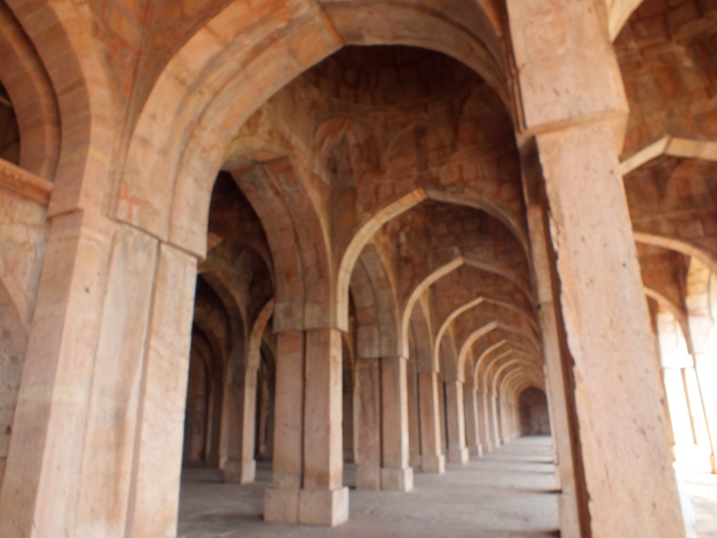
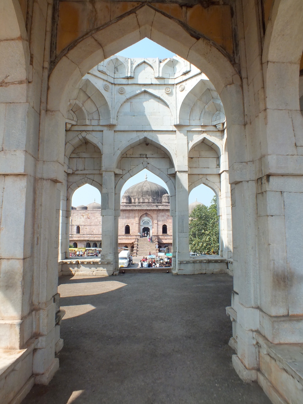
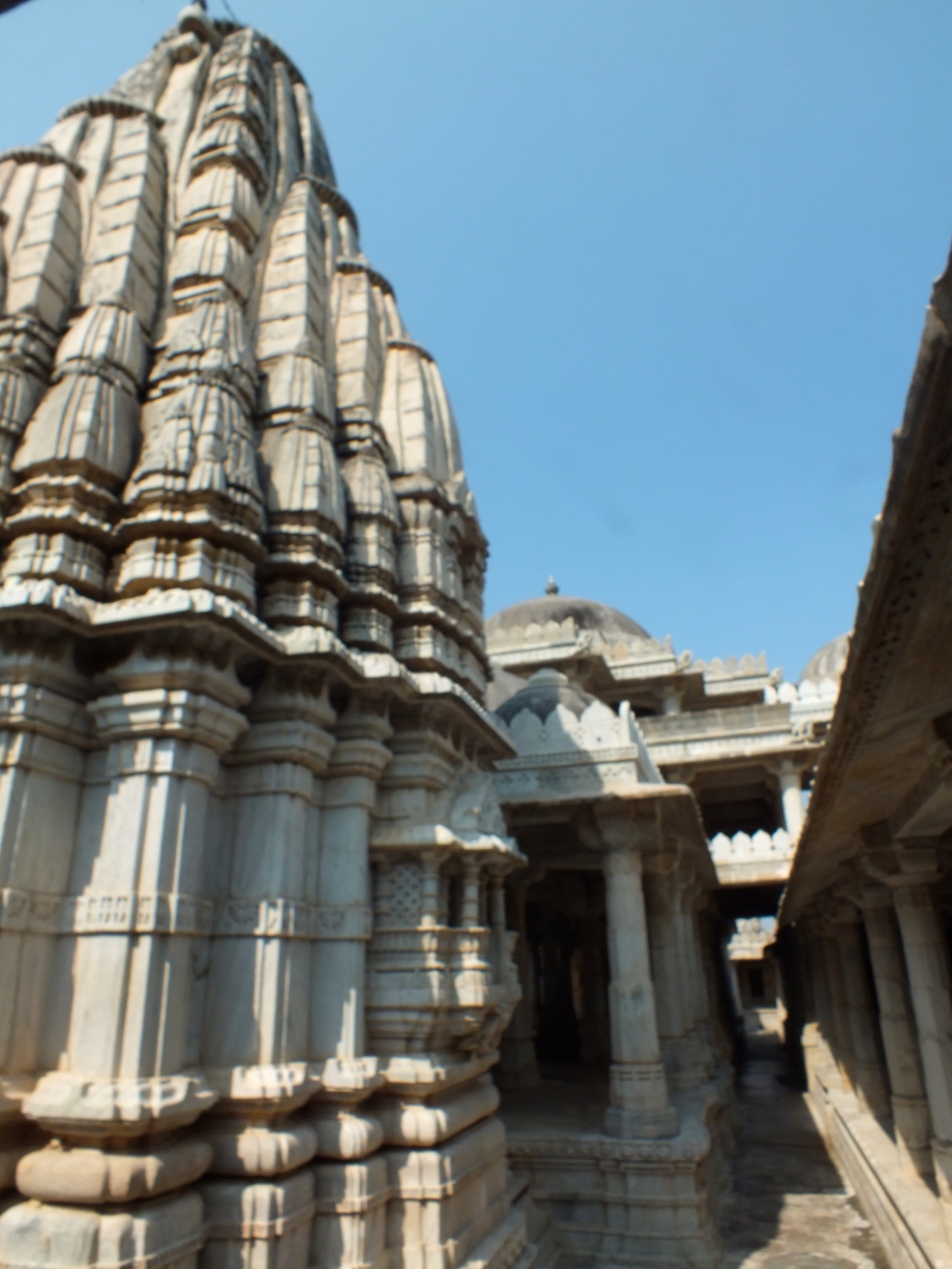
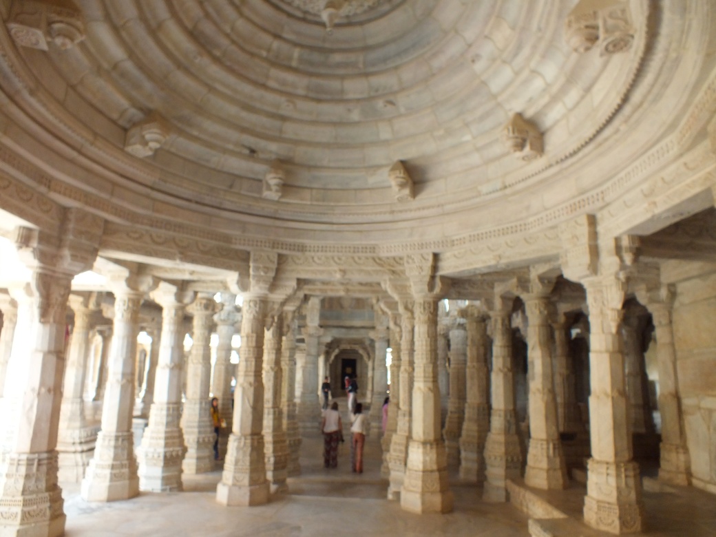
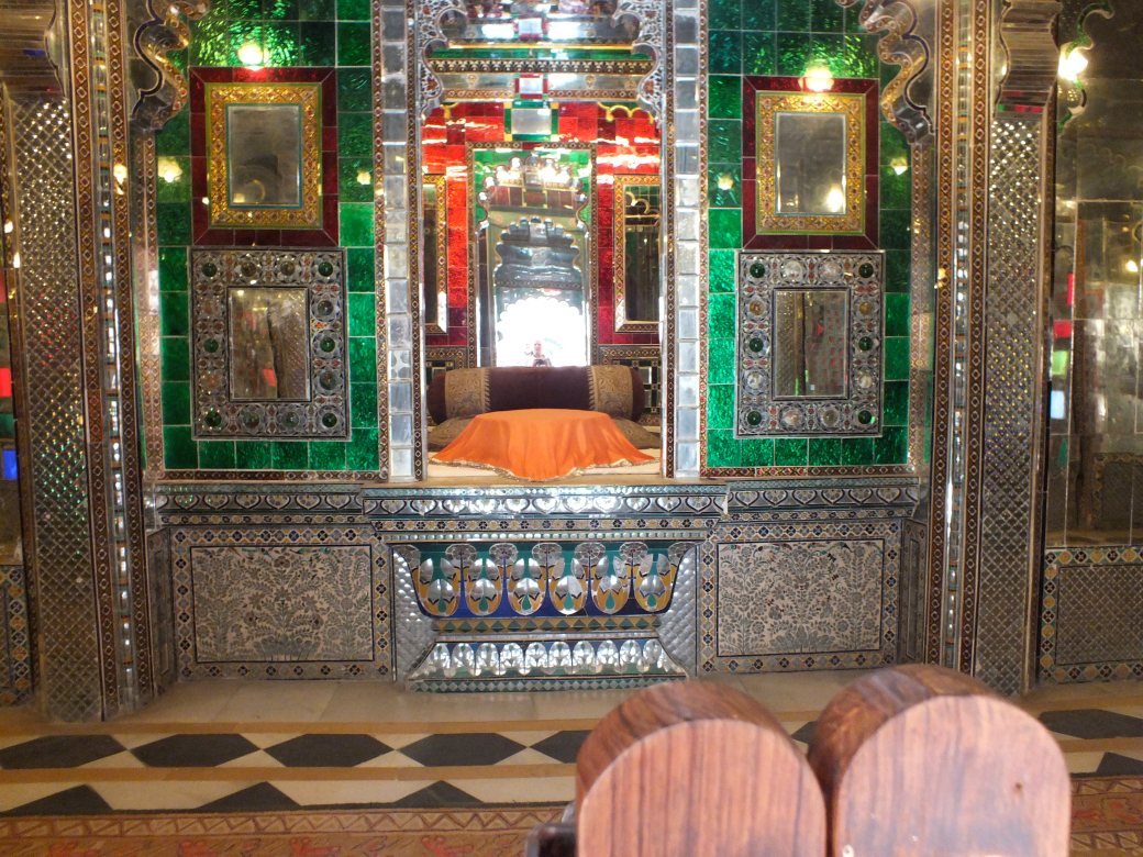
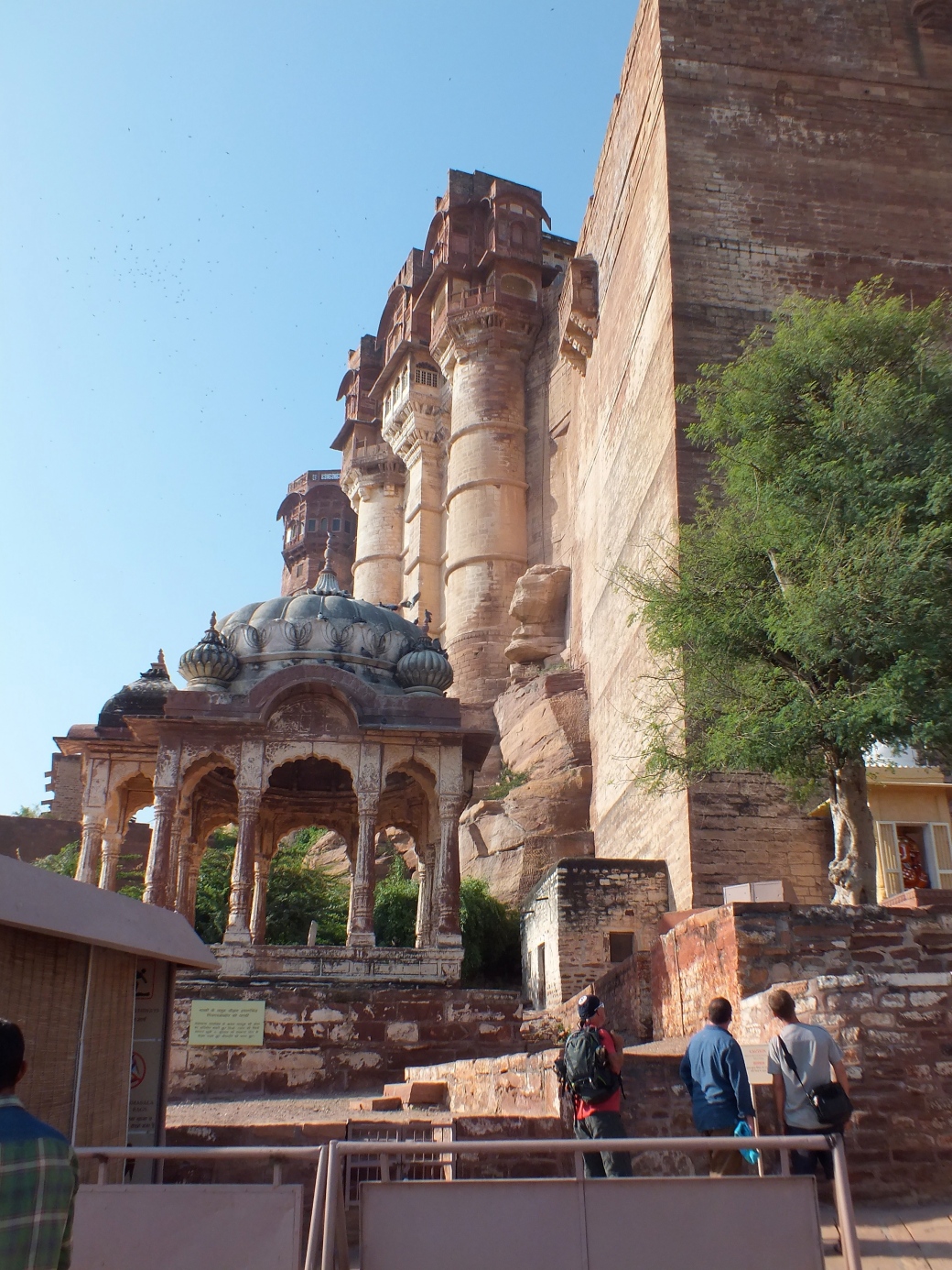
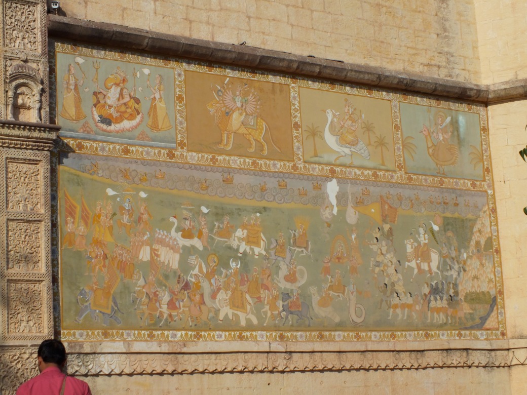
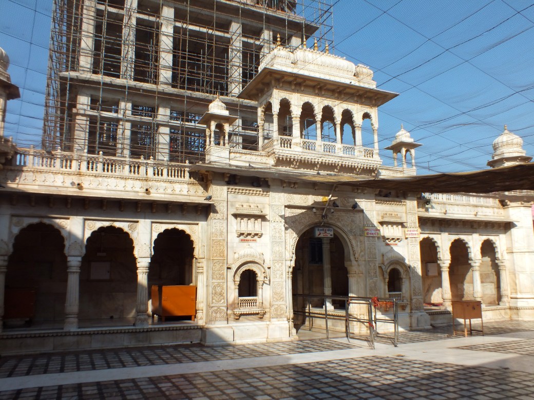
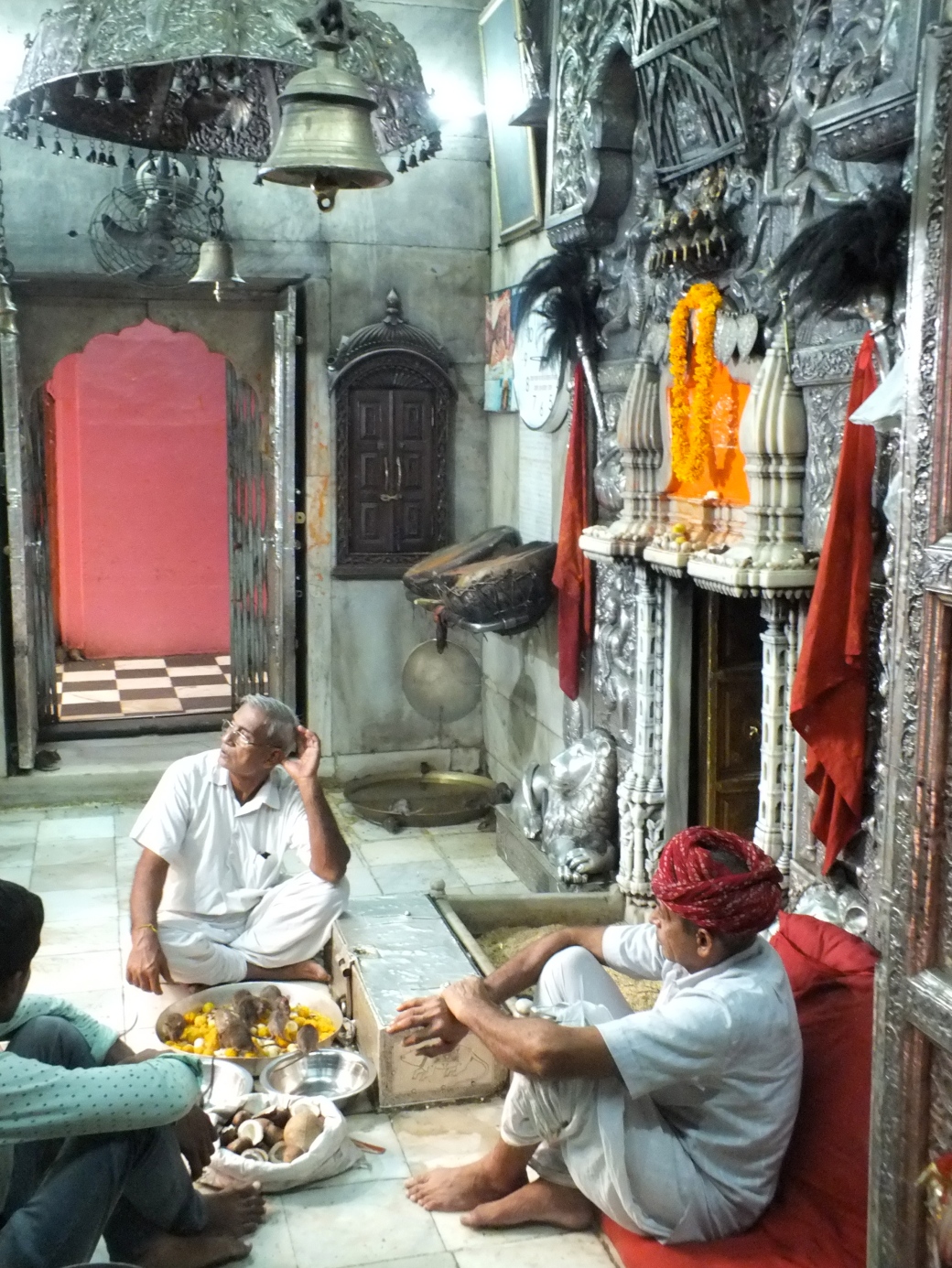
Once settled, we take a tour of the extensive monastery, guided by one of the monks.
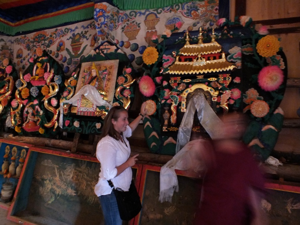
The artifacts are quite impressive- and our dialogue on religious issues with our guide is quite lively, led by the lapsed Judaism adherent Kelly.
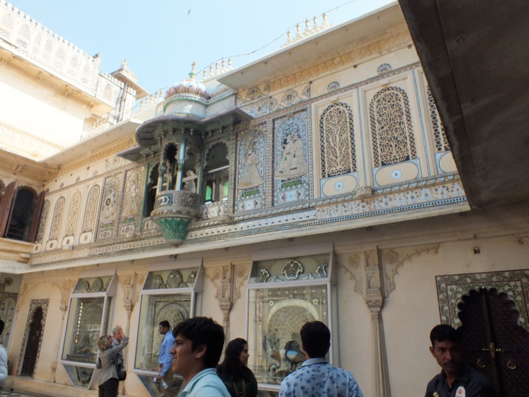
Graham enters the debate with some rather skeptical views of religion in general, and very pointed questions of our guide. We are lucky we are not struck by a thunderbolt or whatever form punishment takes in Tibetan Buddhism, Our guide does not recant, and we continue through some very rich architecture in an inspiring setting.
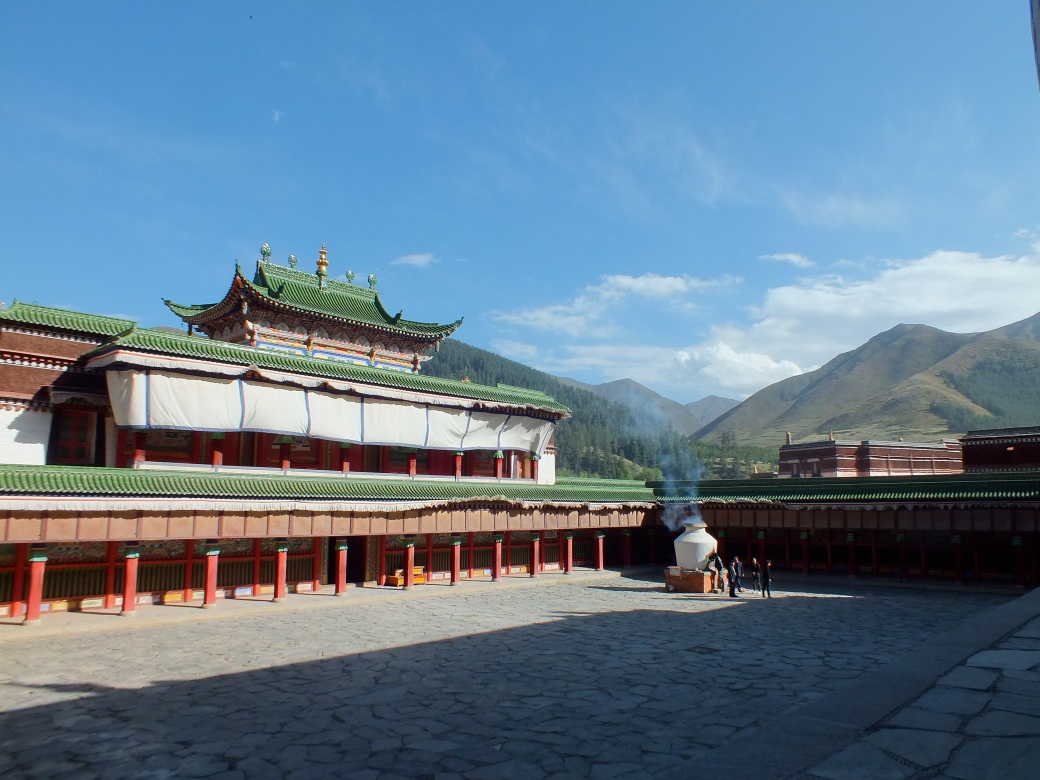
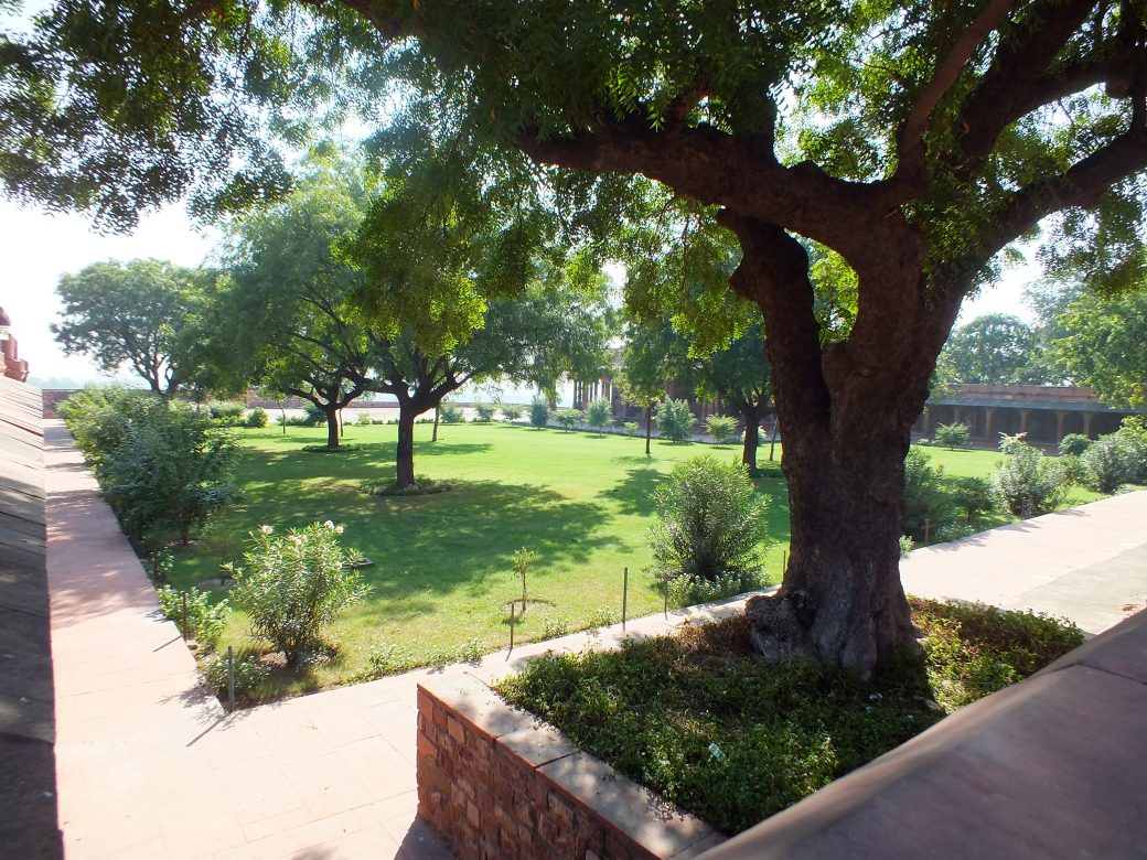
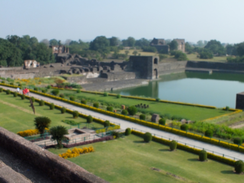
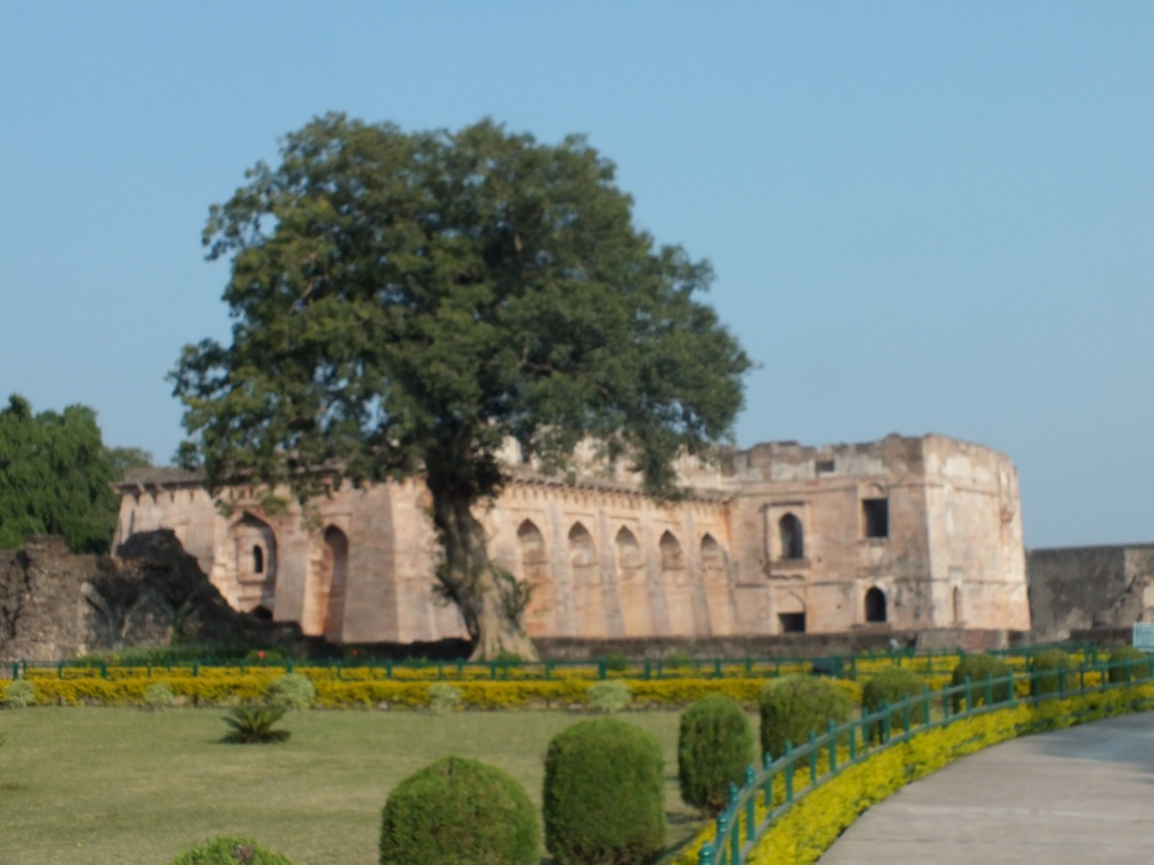
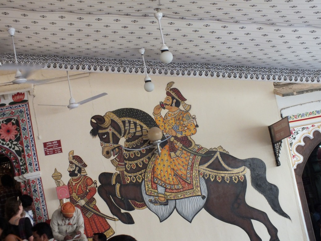
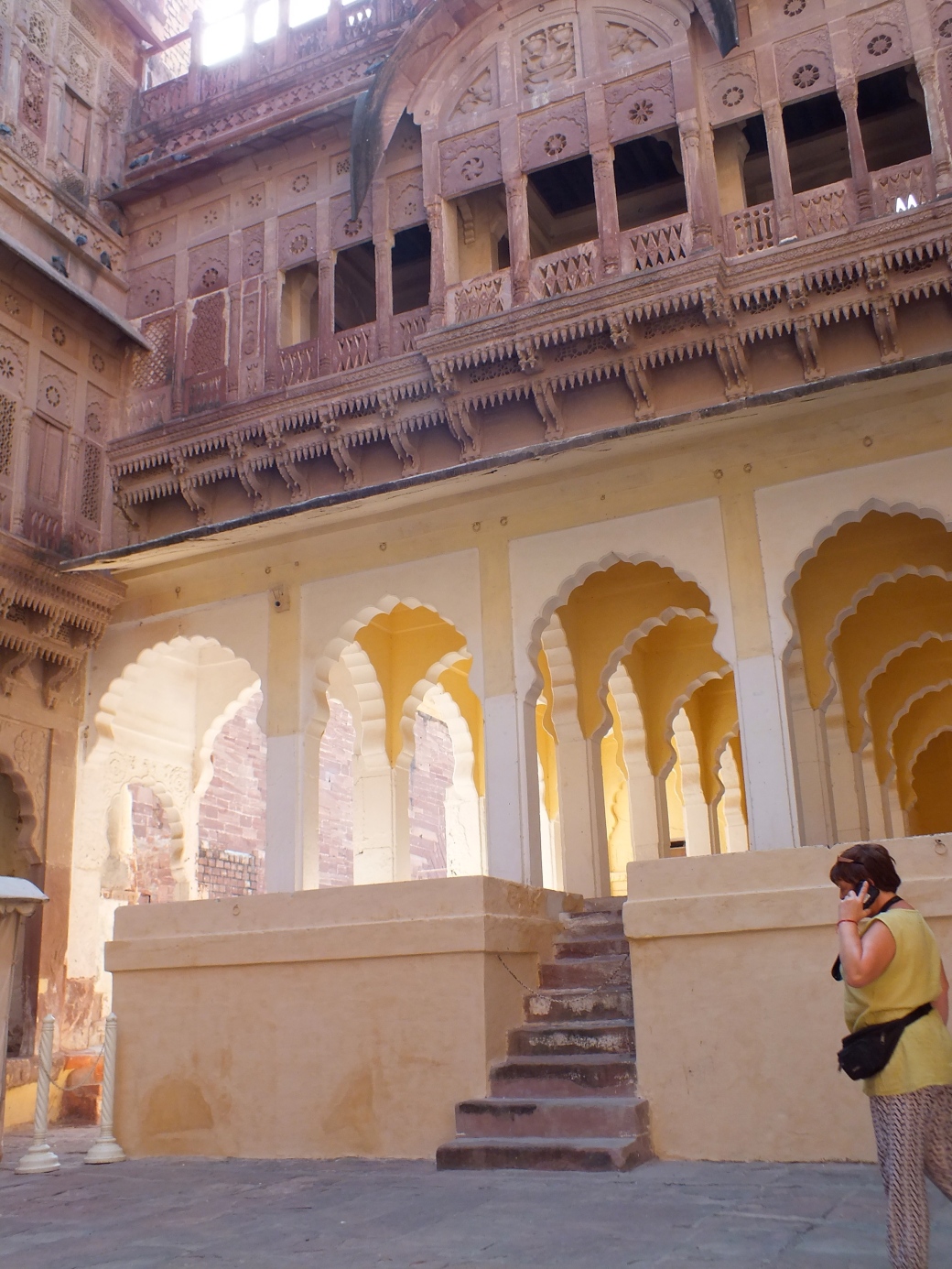
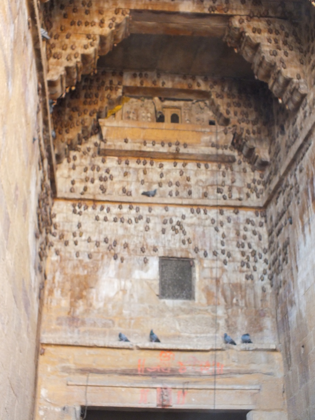
Obviously a great deal of devotion and wealth has been lavished on Labrang. However, its residents live on a much lower plane.
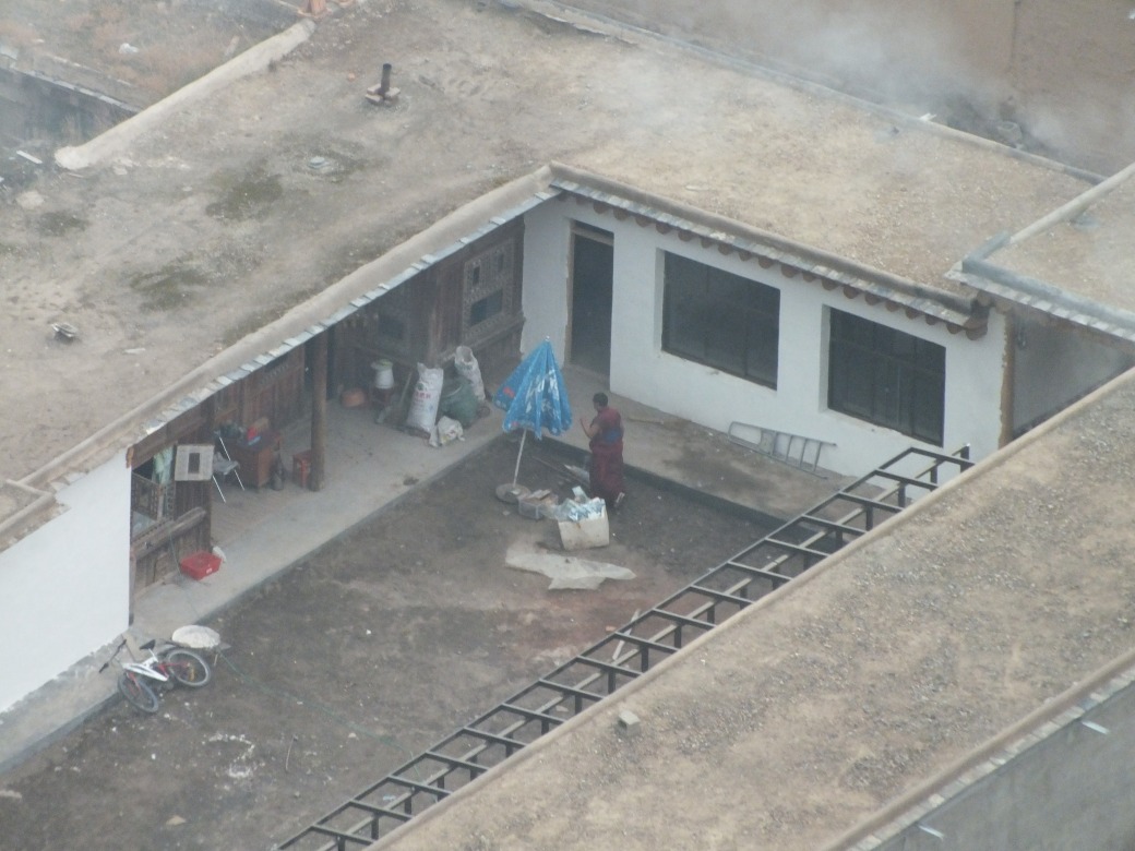
Apparently the monks’ living conditions and interpersonal relations do not attain the same aspirational levels as the doctrine.
After a fine dinner, including Tibetan whisky, at the adjacent Lonely Planet Café no less, a few of us- Jody, Marian, Kelly, Ariana, Susan, Grham and I- adjourn to Aziza, where Jody fetches the remains of a bottle of Kyrgistan vodka from the tool box, at the end of which someone brings out a full one of its Georgian counterpart. Both delicious. Things get pretty hilarious. There is a lot of singing and dancing. Marian, one of the funniest persons I have known, begins a campaign to marry her son off to Kelly, a plot that runs through the rest of the trip. Marian is on her way to Spain to visit her friends and maybe meet the son.
Around midnight Graham and I stagger to bed, but the party goes on for a few more hours.
In the morning Graham and I fight off mild hangovers by heading for the ‘Upper Korla”, a meditative path to shrine high up on the surrounding hills. We do not get the route right, so after wandering the steep slopes like goats we find an easy route back to town.
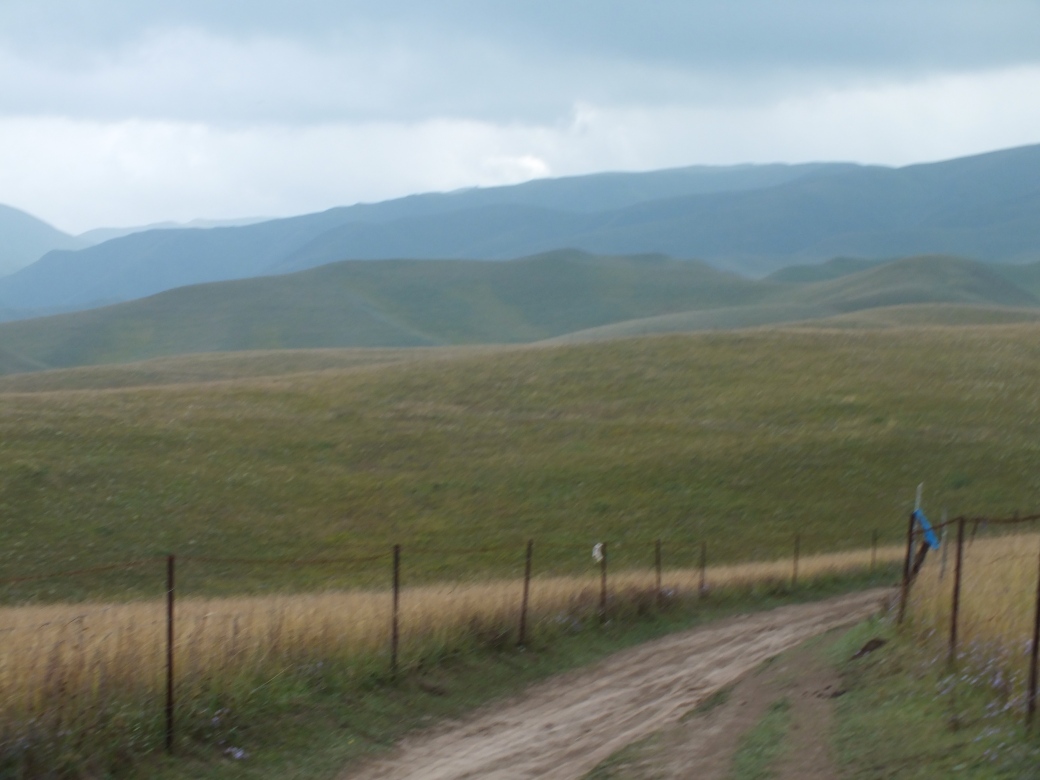
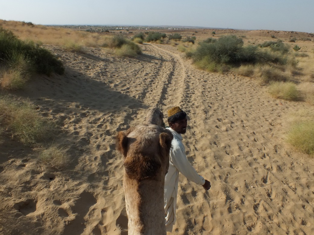
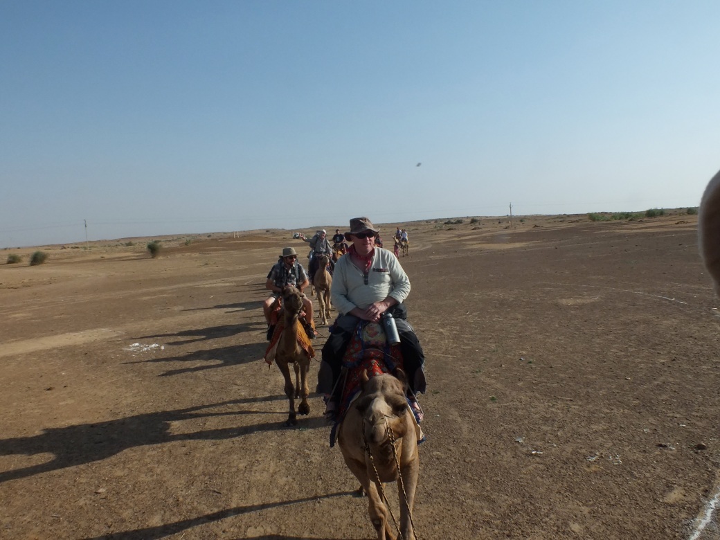
In the afternoon we head out for horseback riding on the grasslands, Mongolia-like rolling hills.
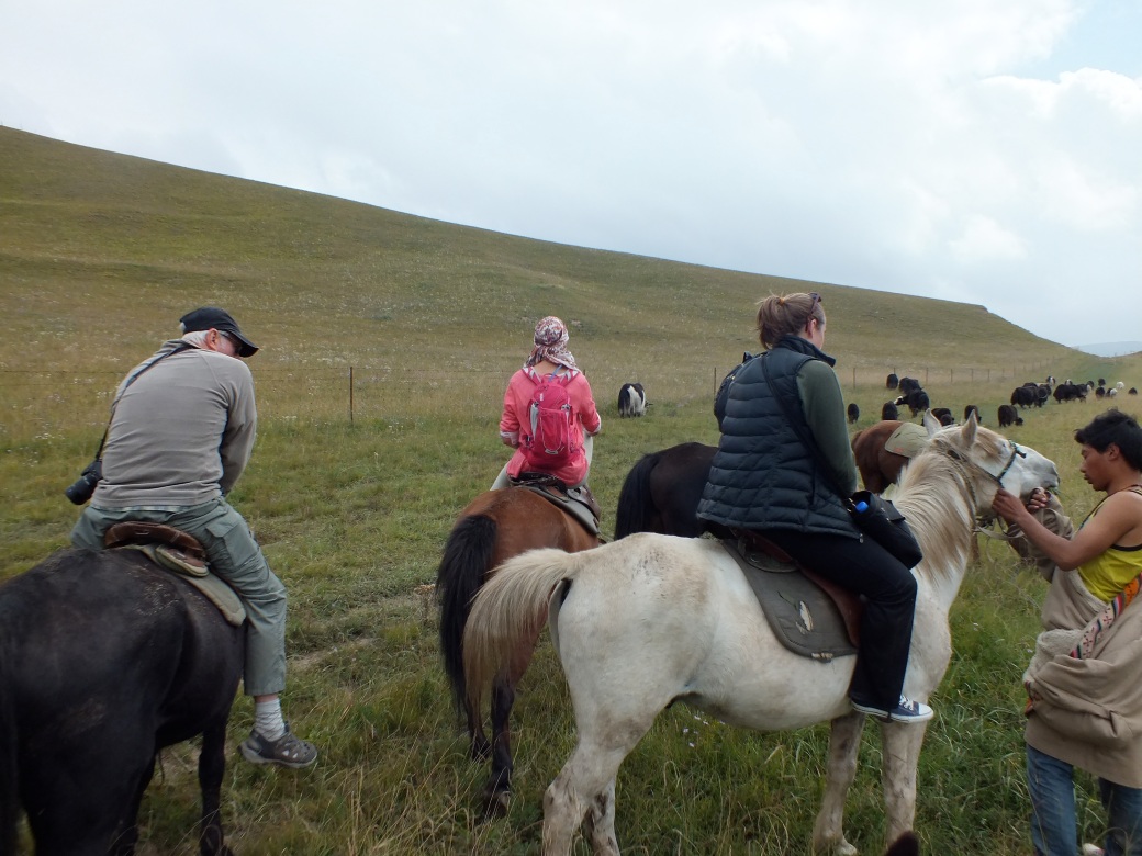
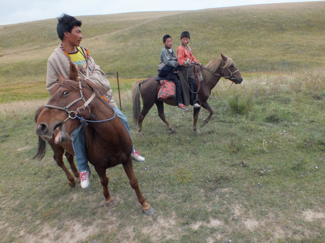
We are in the hands of an expert horseman and his talented apprentices, all brothers I think. The boys are particularly entertaining with their displays of equestrian skill. At one point they have to rescue me after I try to reach down to fetch my camera or something and my horse bolts…
On the way back Ariana discovers she has lost her cellphone, so we have to retrace our steps, happily extending our quite pleasant excursion.
Afterwards Ariana wants to do the Korla, so I, now an expert, lead her over a much more sensible route. Then we have dinner with Kelly, who is still feeling the effects of all that vodka. Adding to her misery, her choice of restaurant is terrible- she retires for the night. So Ariana and I spent a totally delightful evening in conversation over tea at the Lonely Planet.
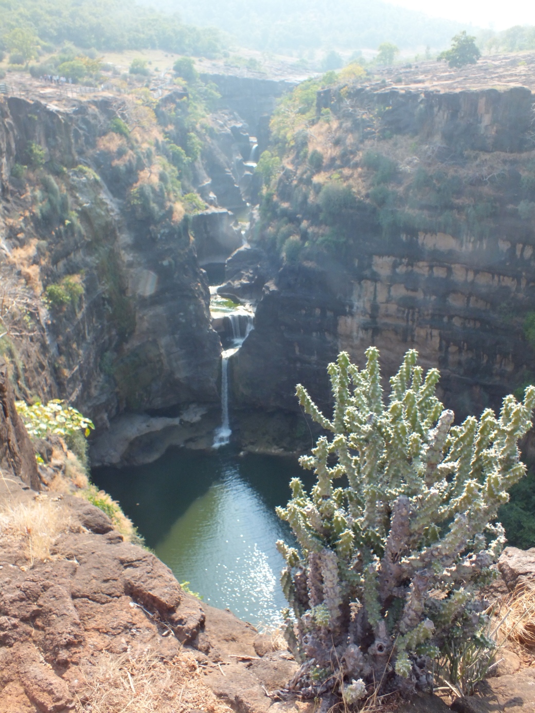
Next episode: Pingling Caves to the Dunhuang Oasis
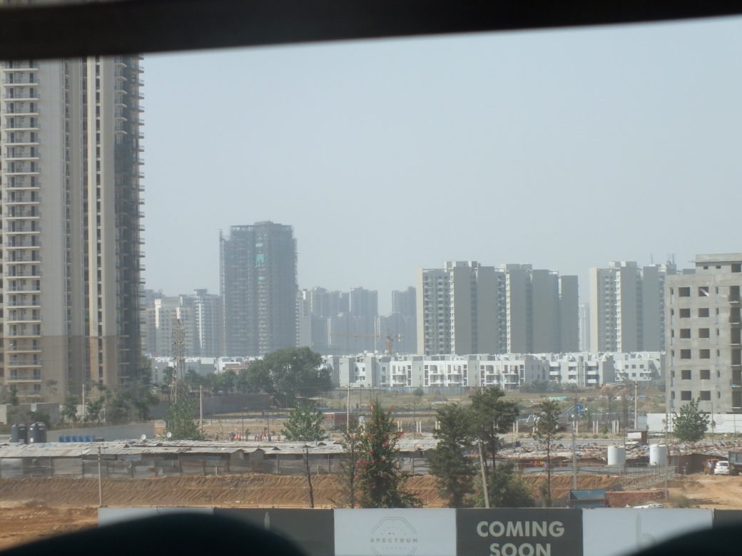
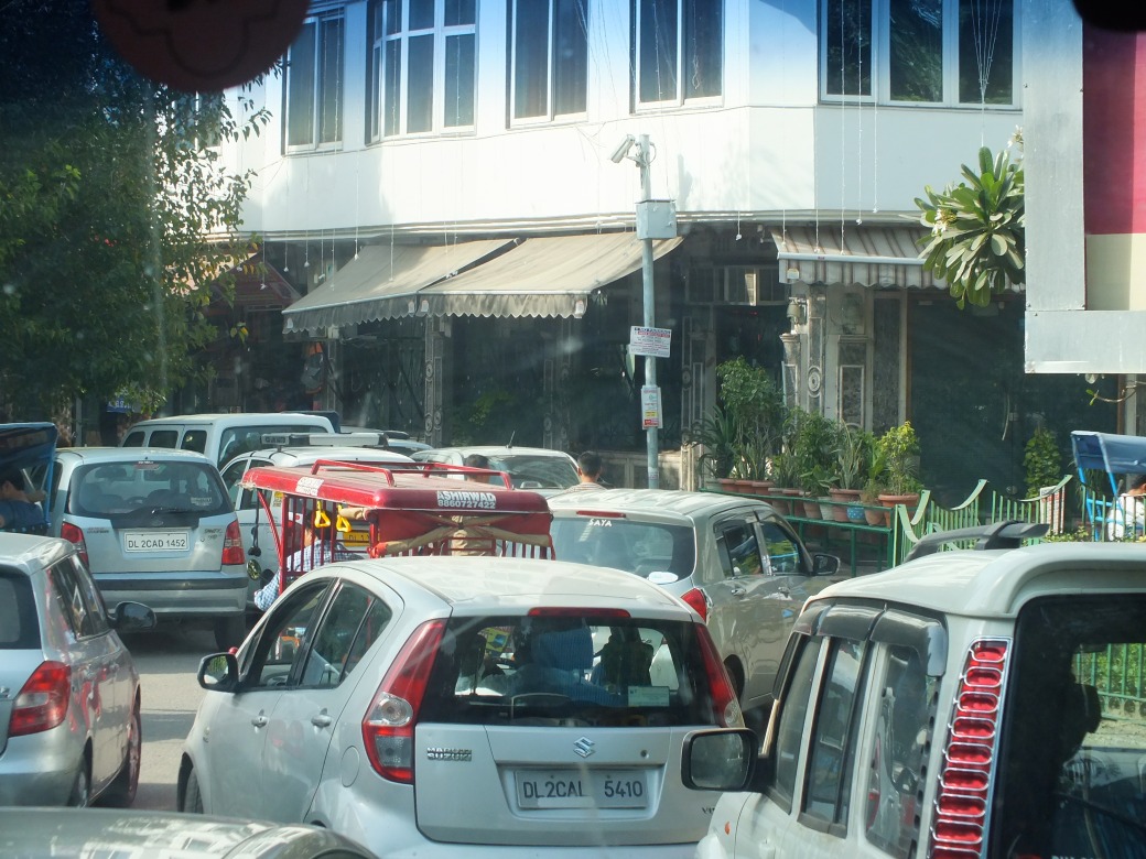
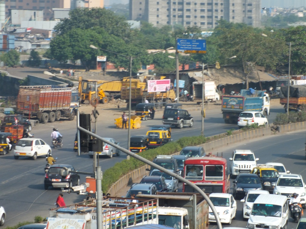
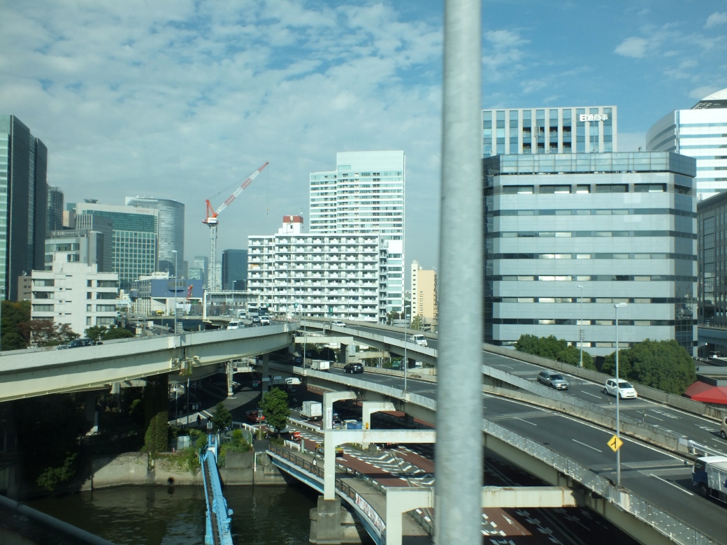 Makes the Turcott project- a 5-year multi-billion$, project hopelessly tying up Montreal traffic- look like a cow path…
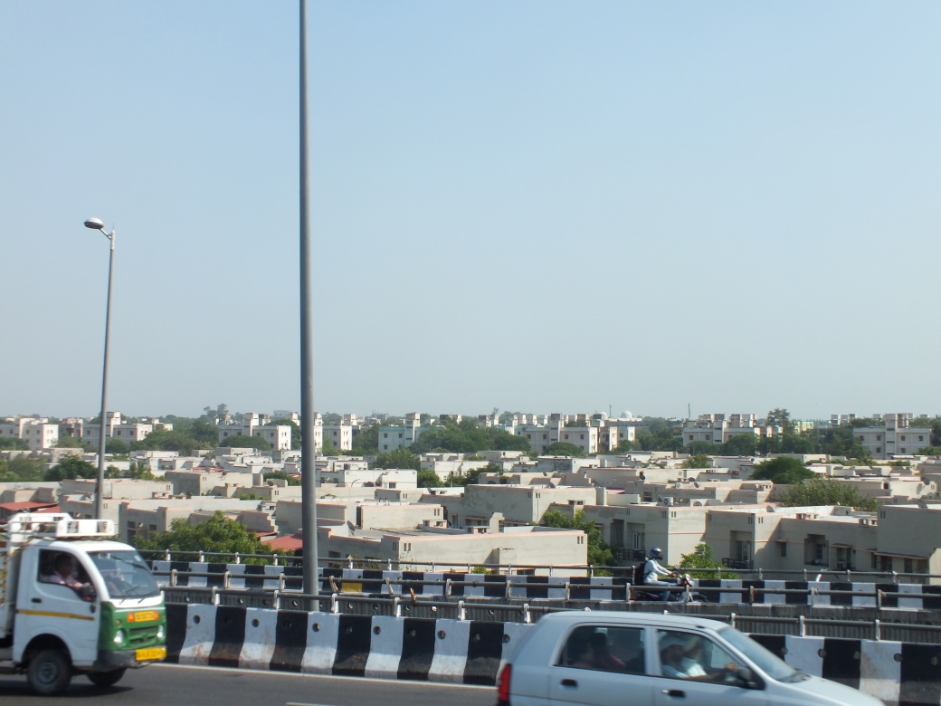
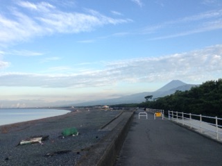
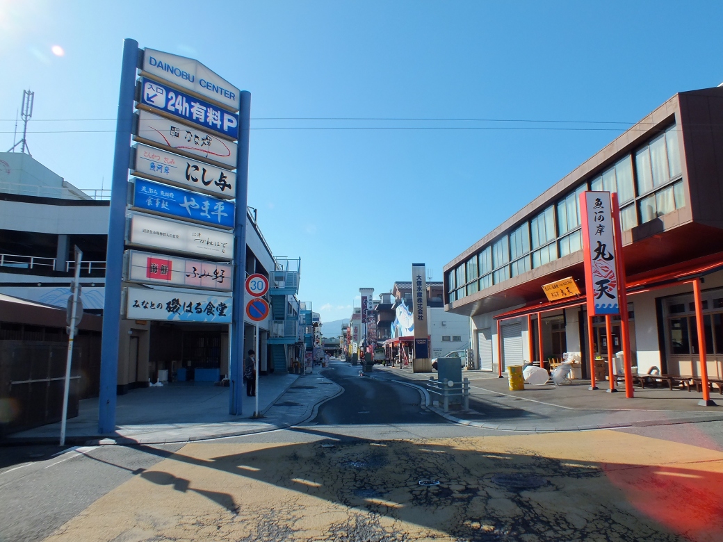
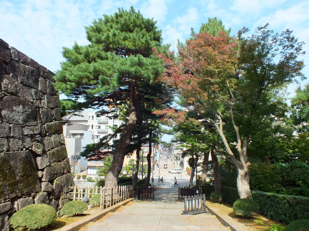
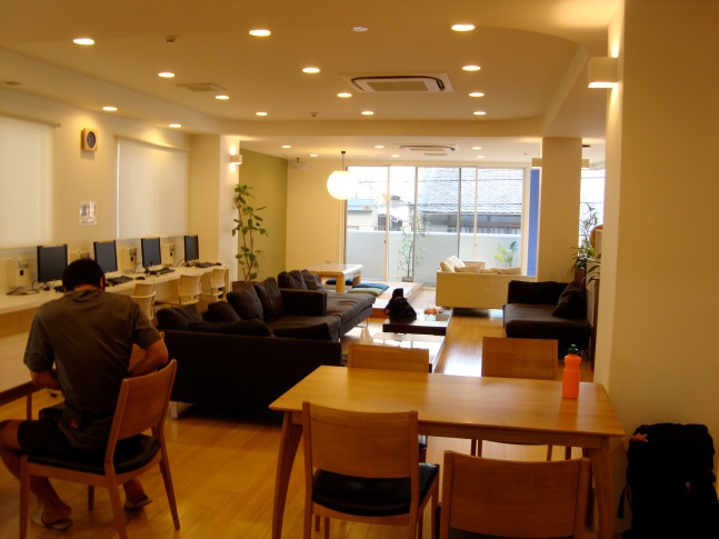
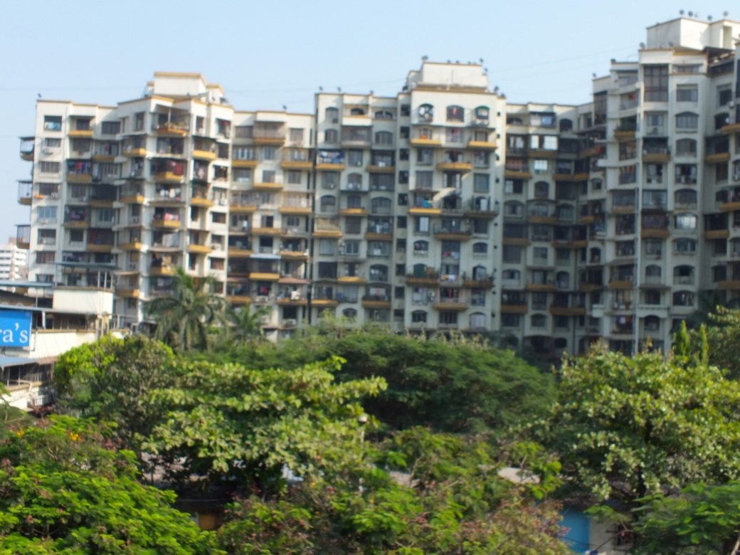
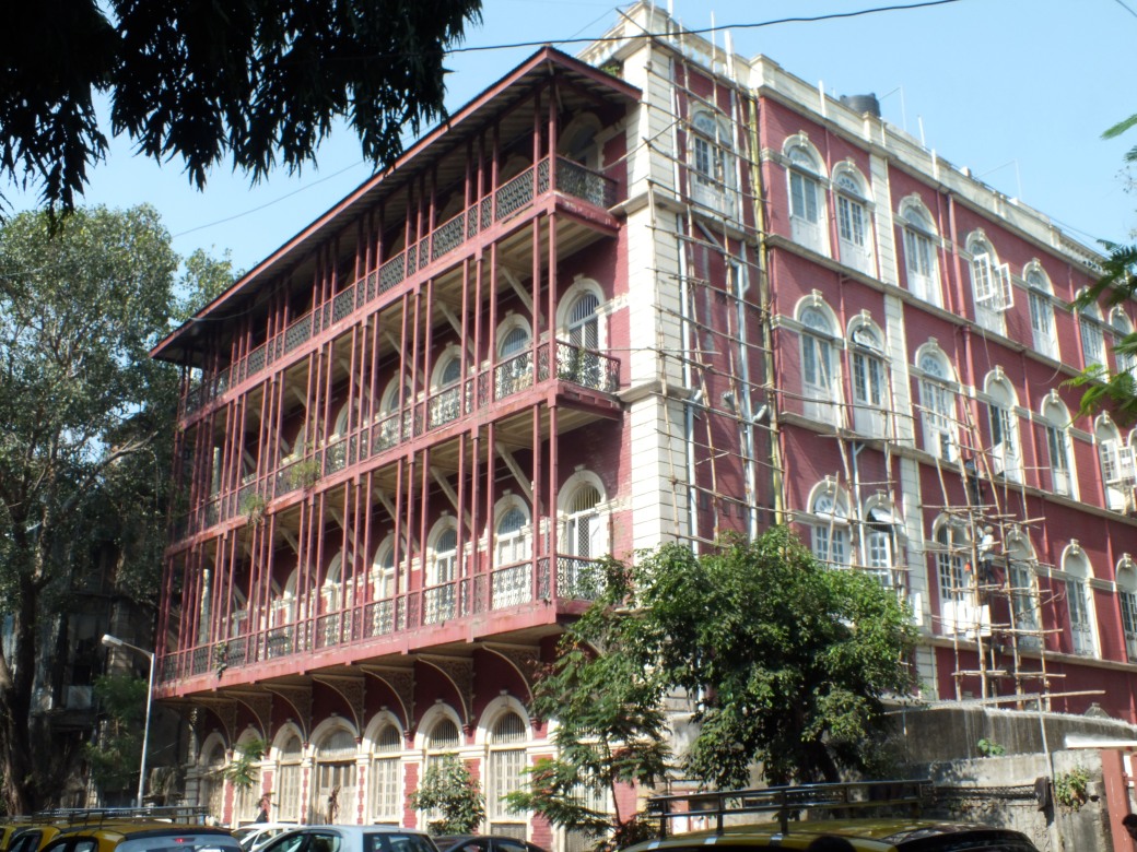
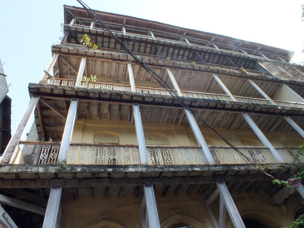
 Still like second home.
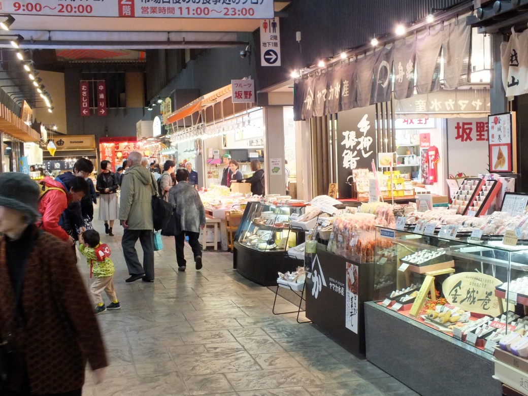
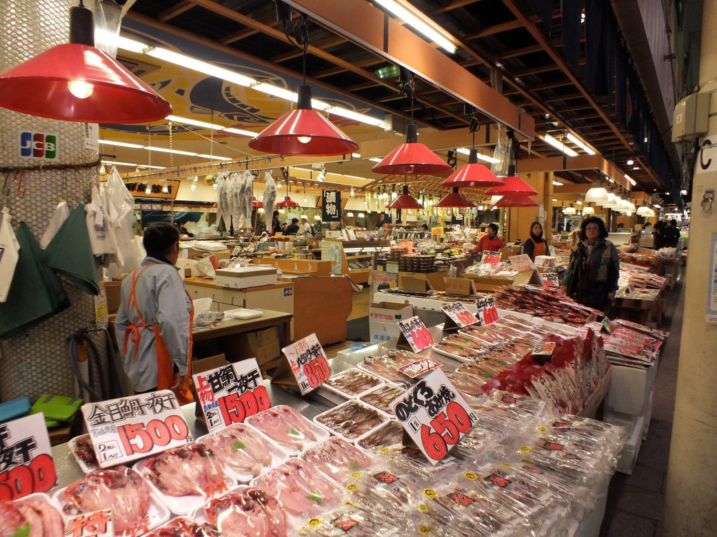
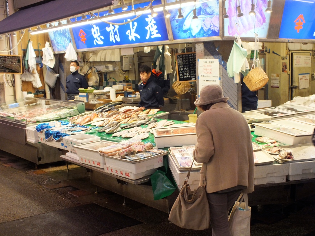
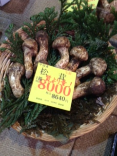
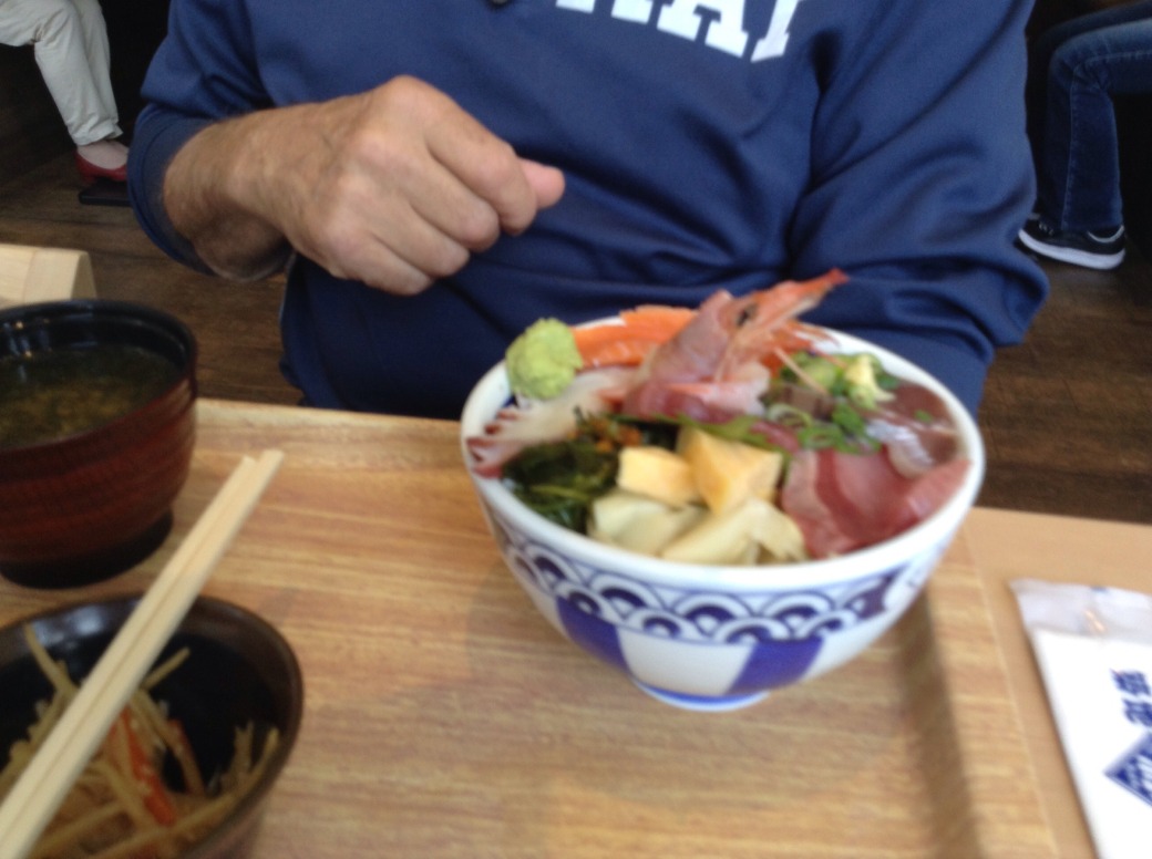
 In the good old days we often enjoyed the freshest sushi possible, delivered by bike from the harbour.
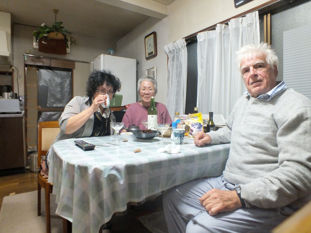
 .
.

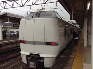
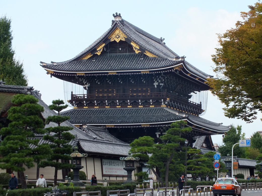


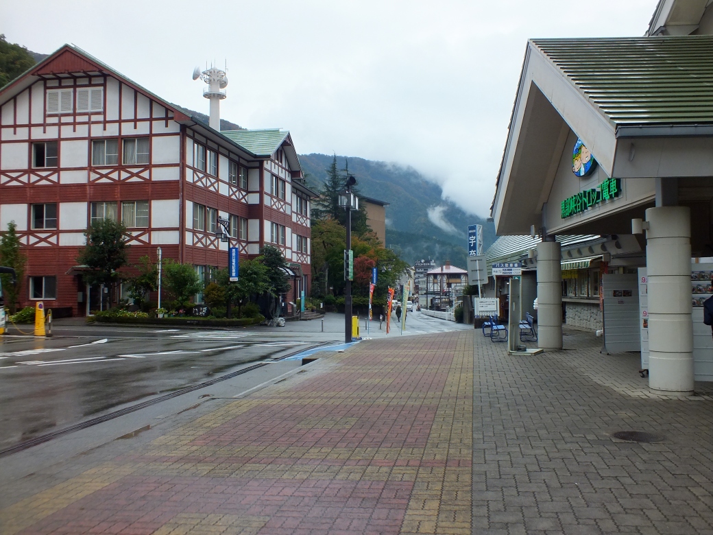
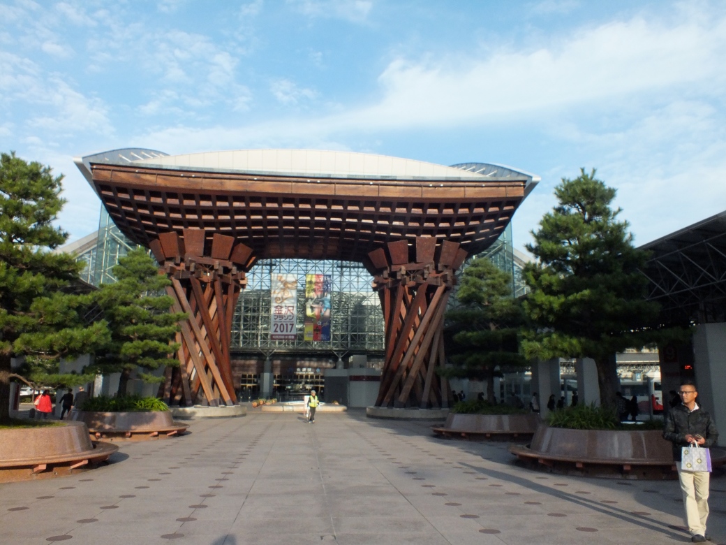 Kanazawa Station

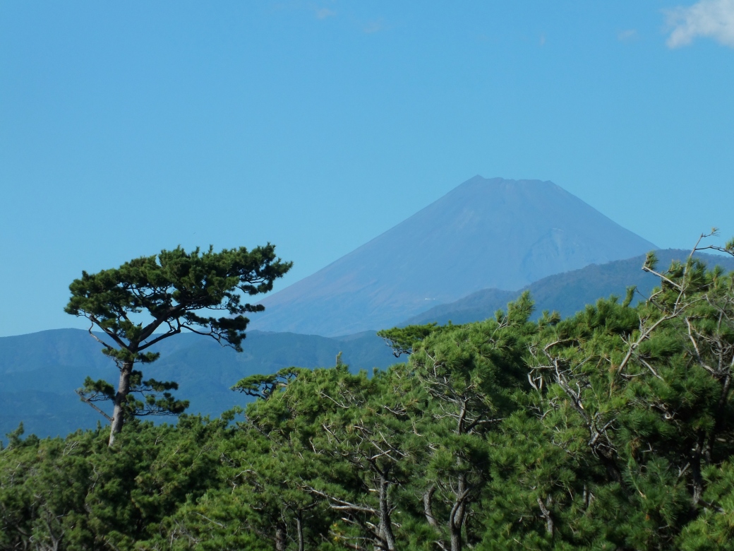
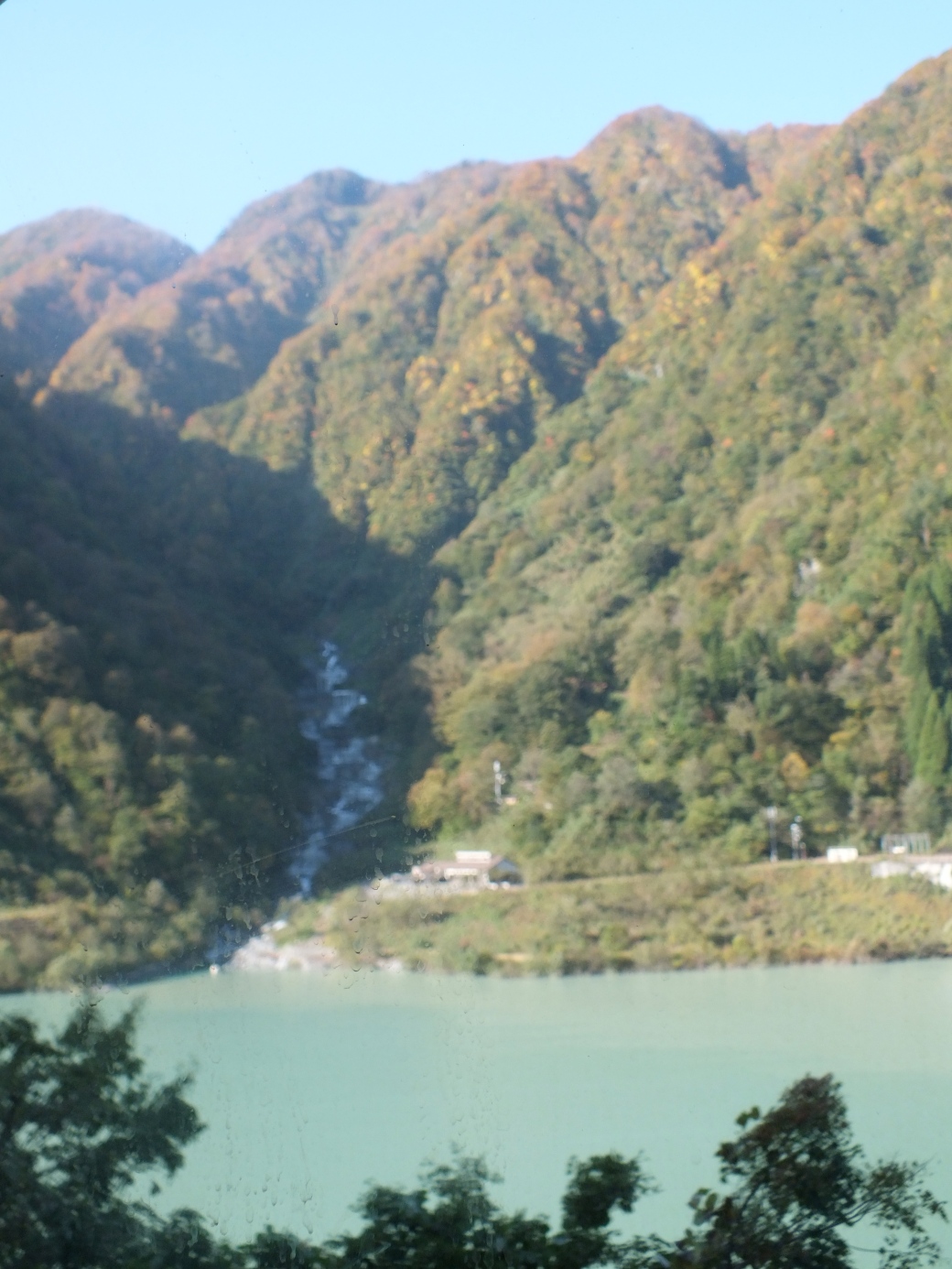
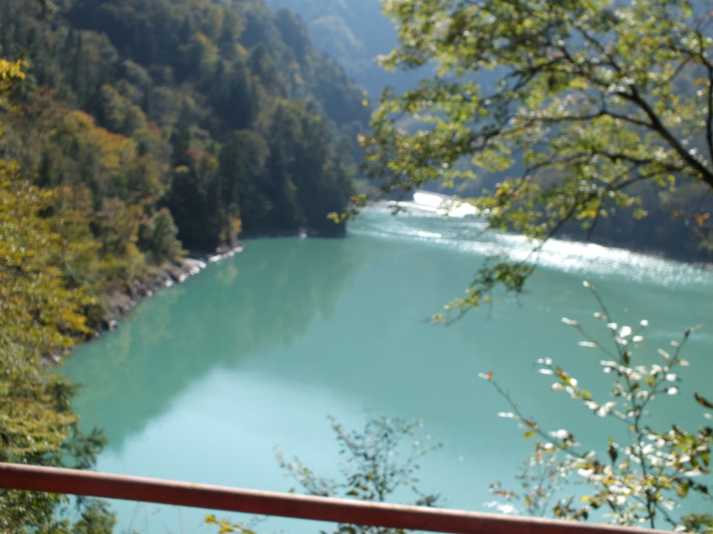
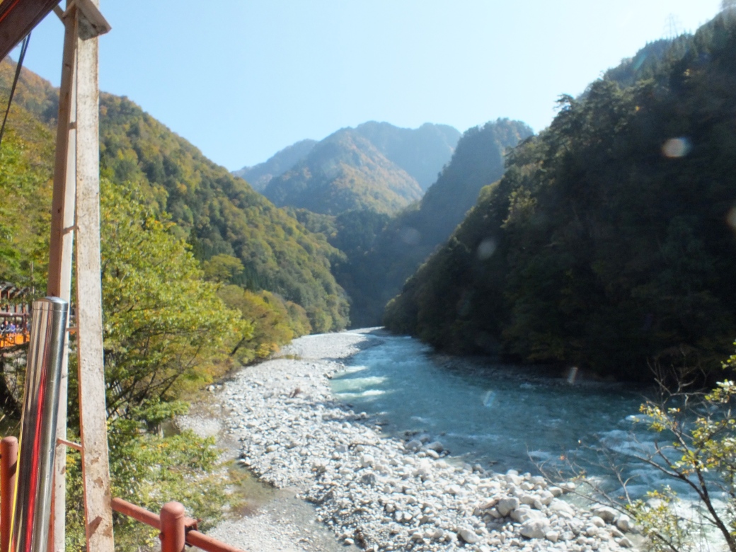
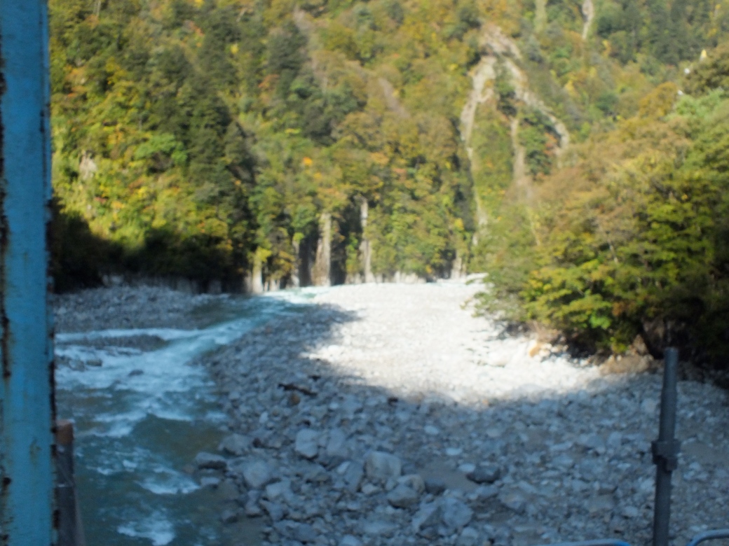
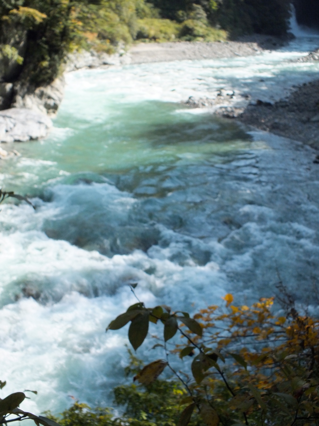
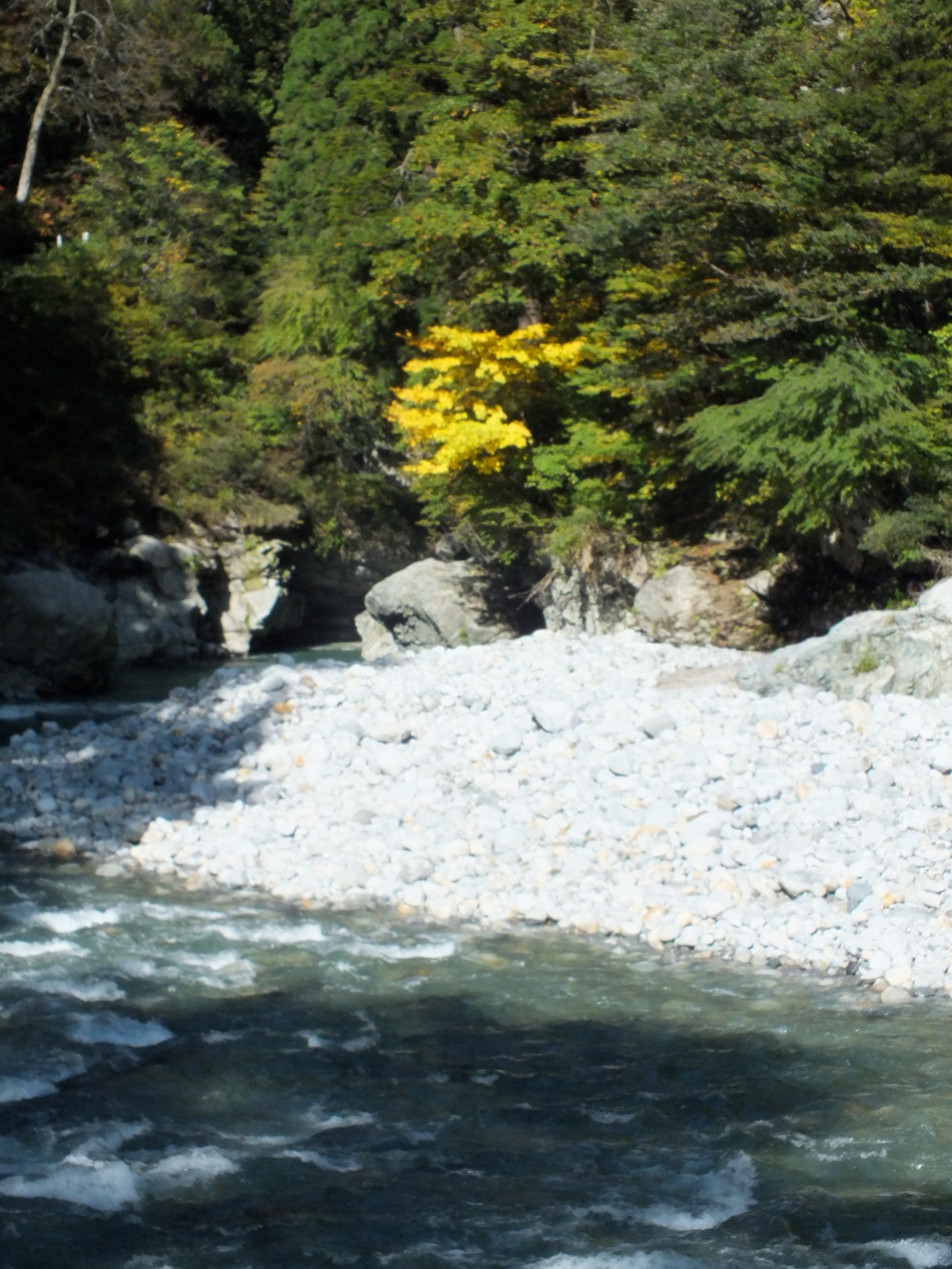
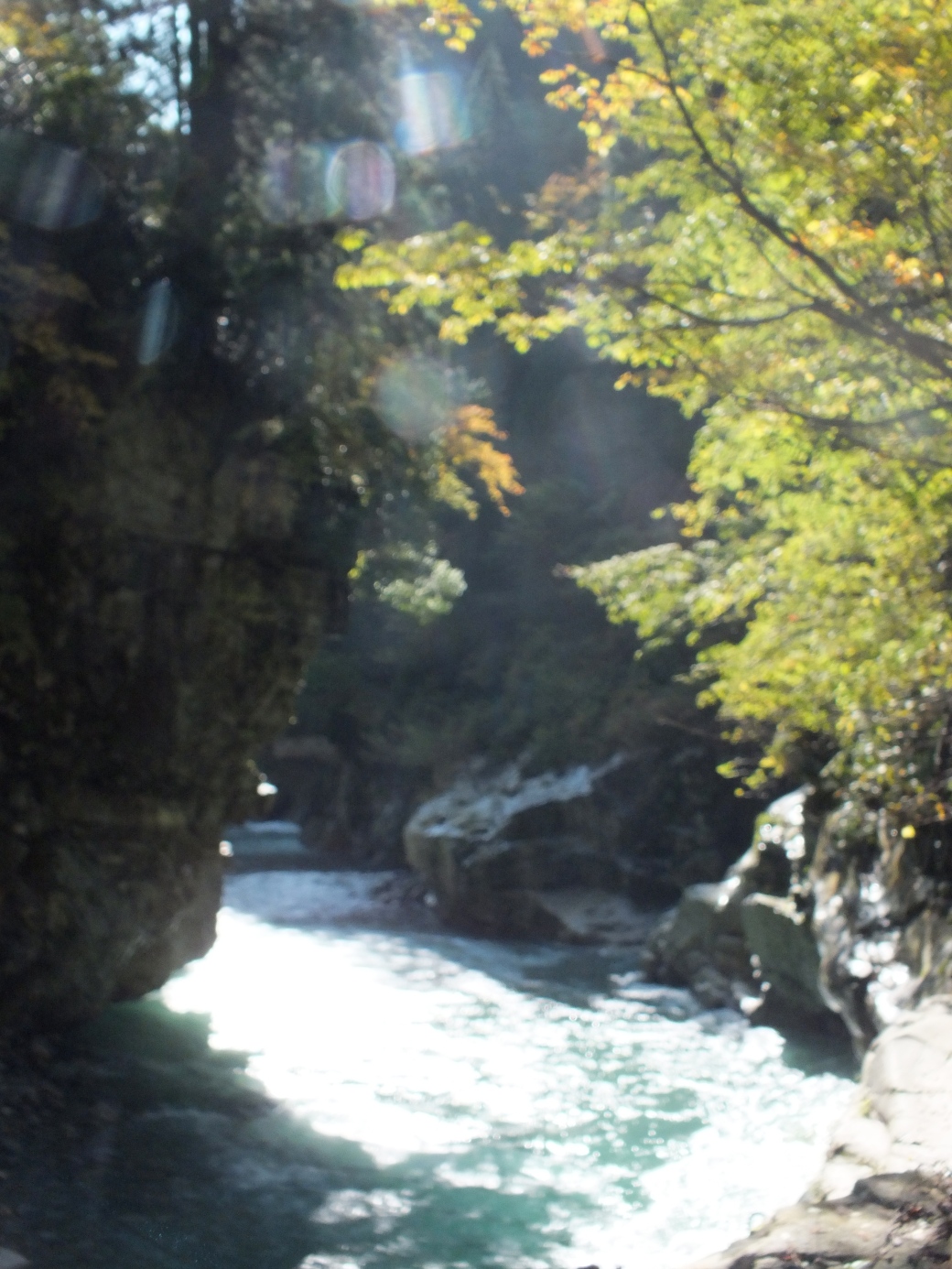
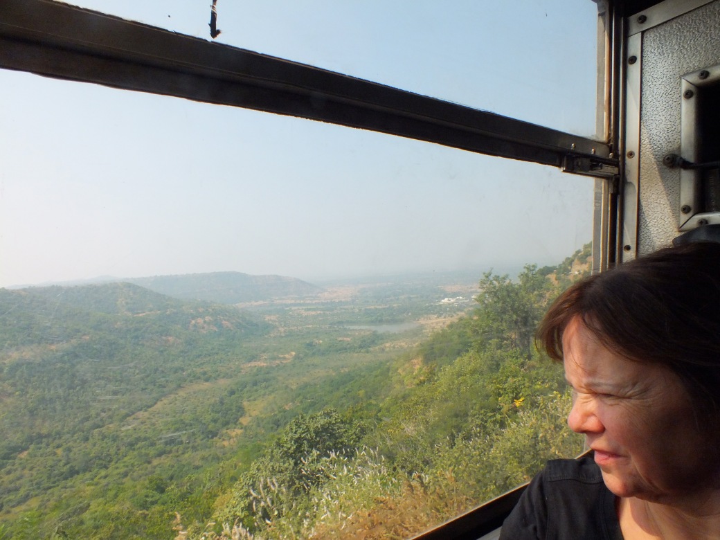
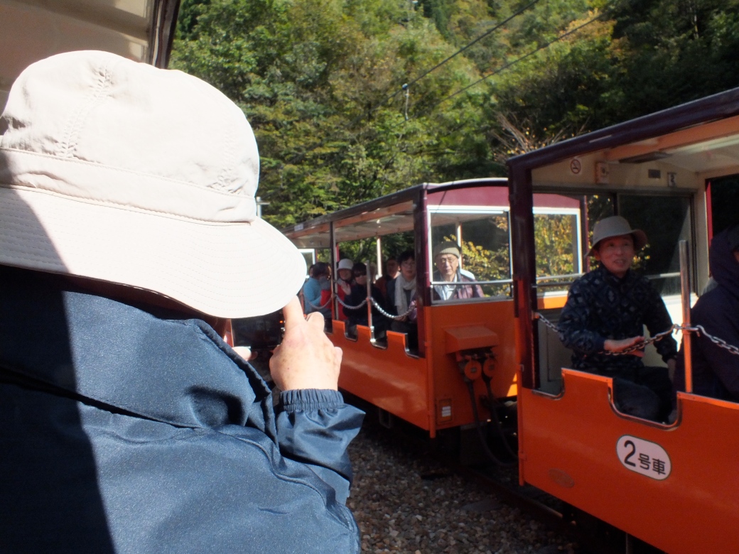 slowly up a mountain valley, 20 km of fabulous scenery.
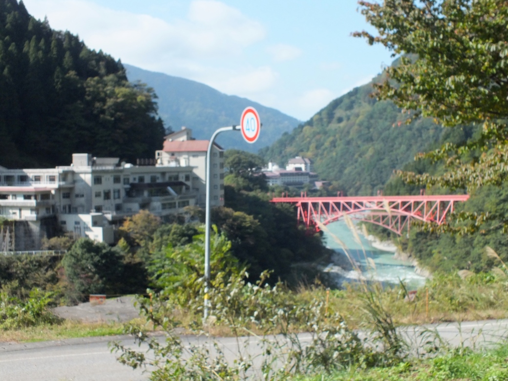

 `
`


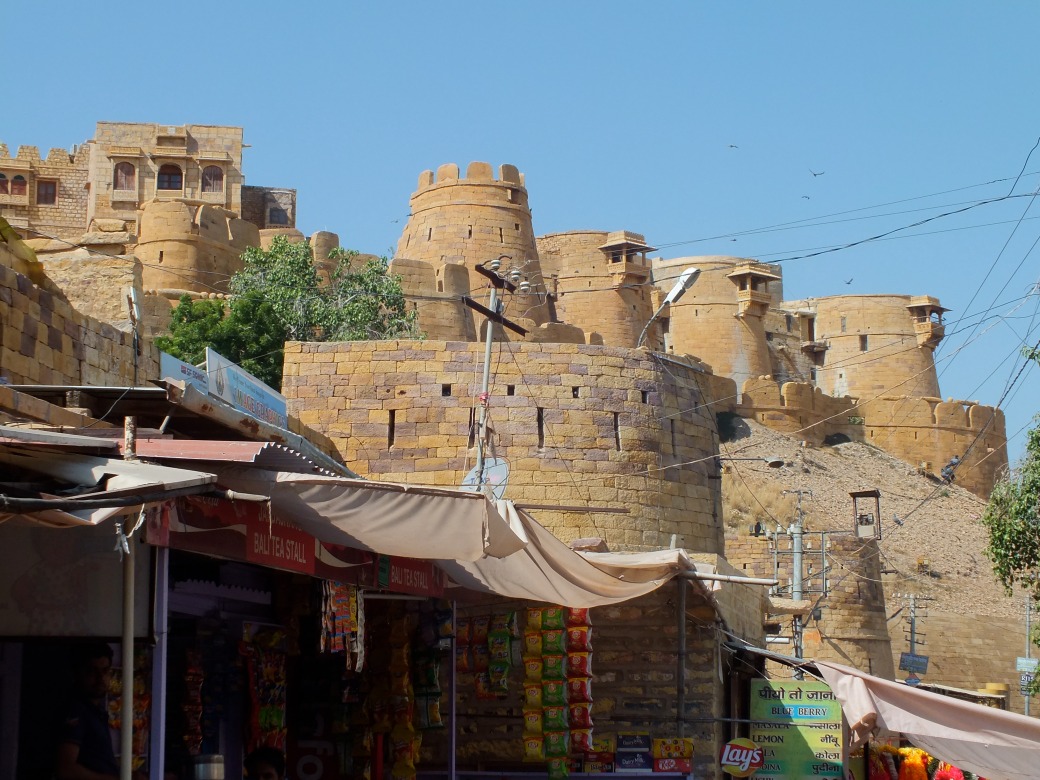

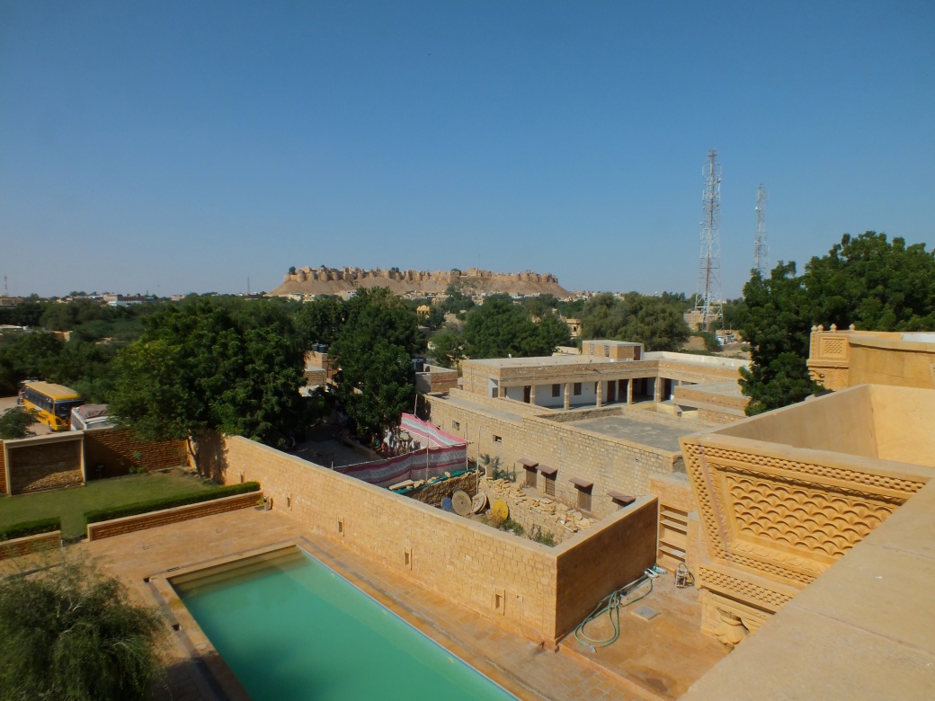

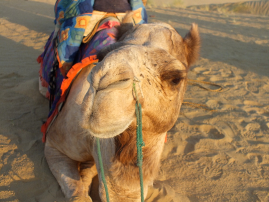
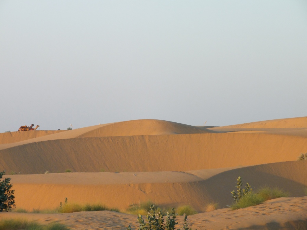
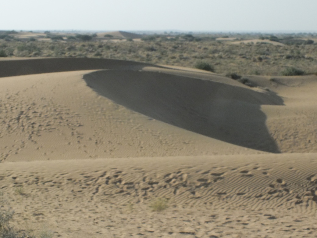
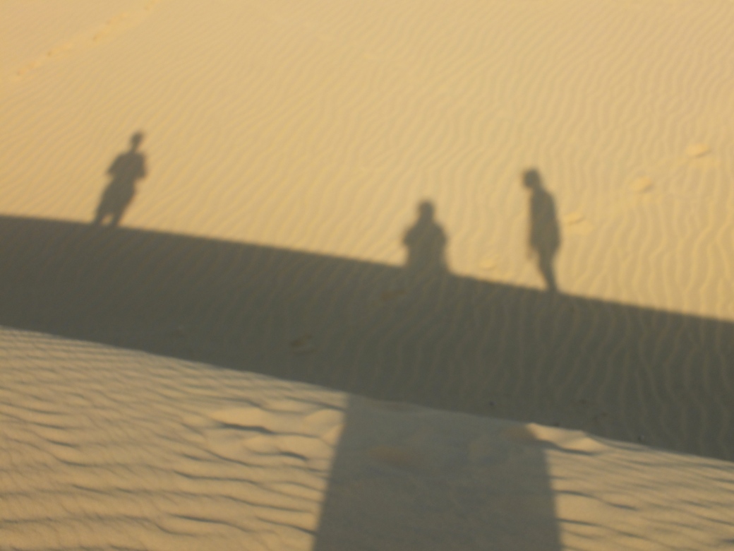
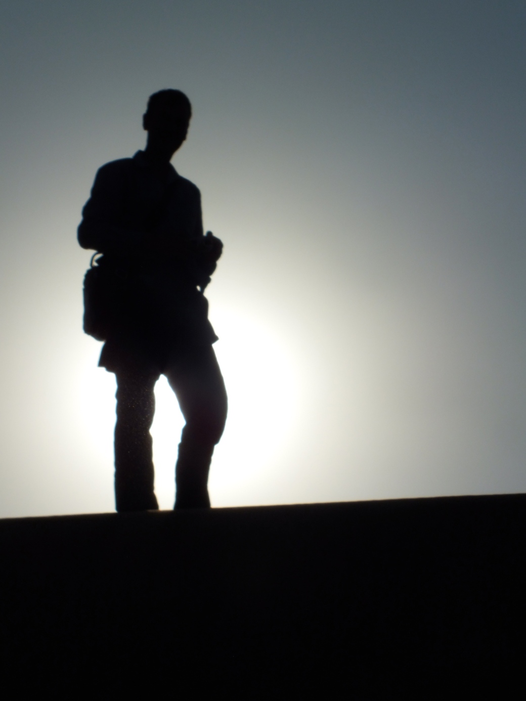
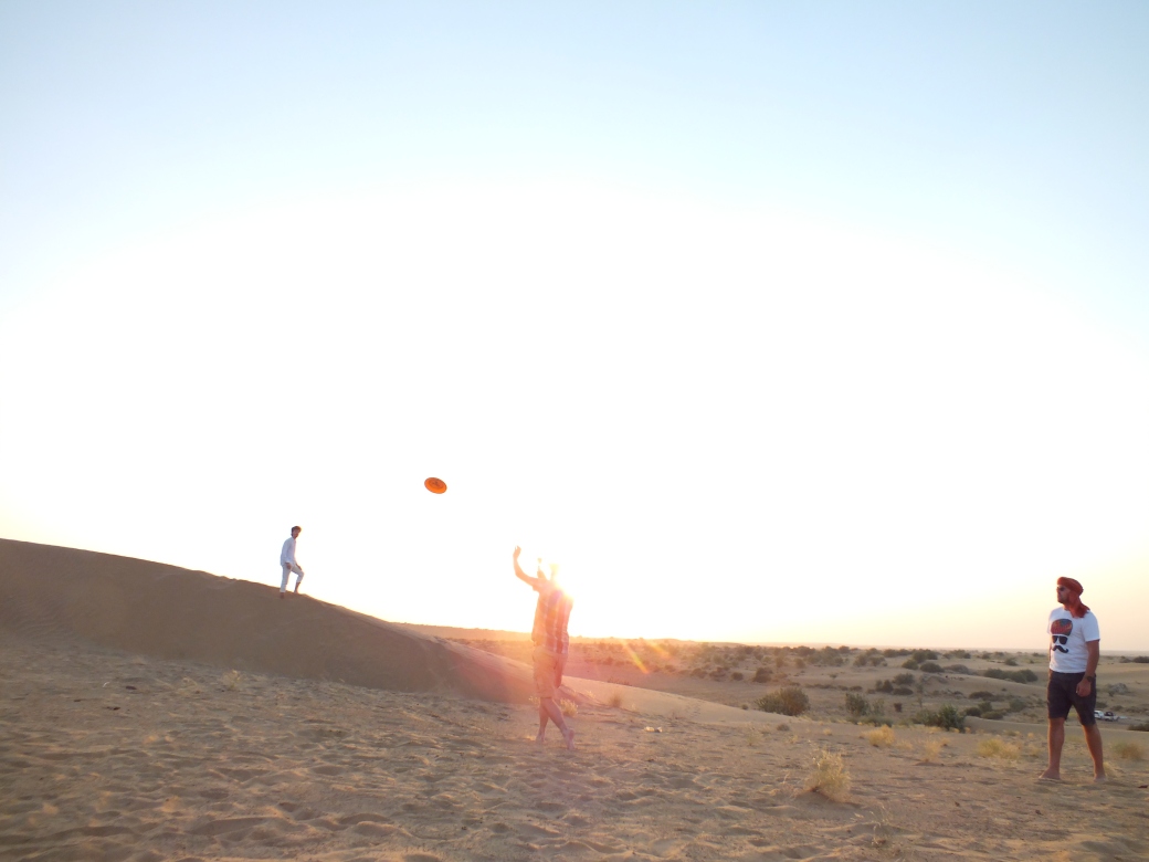
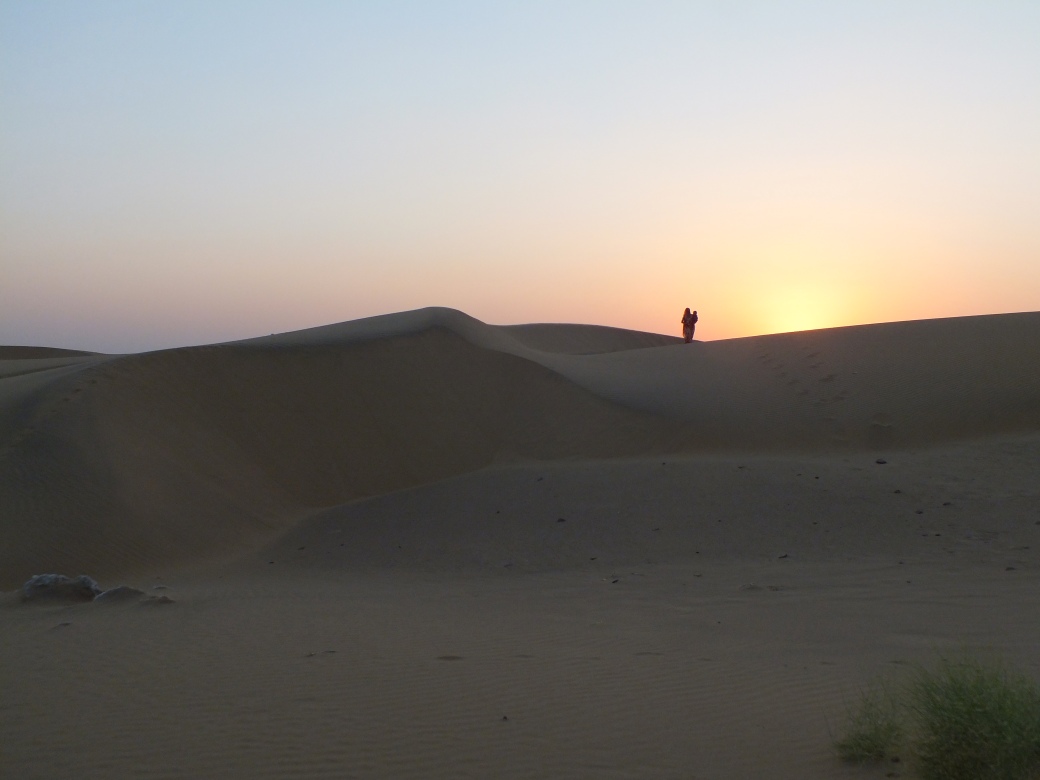
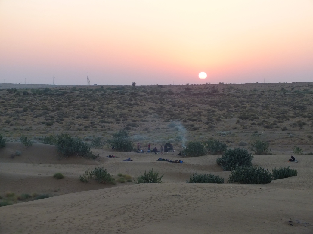

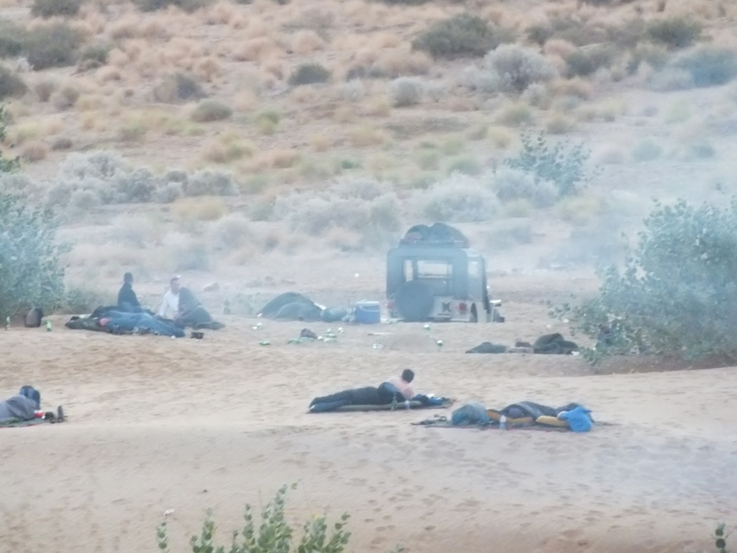


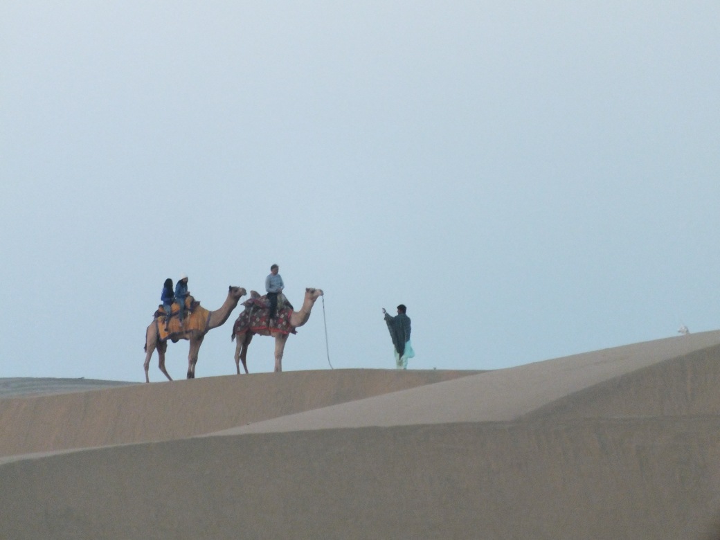
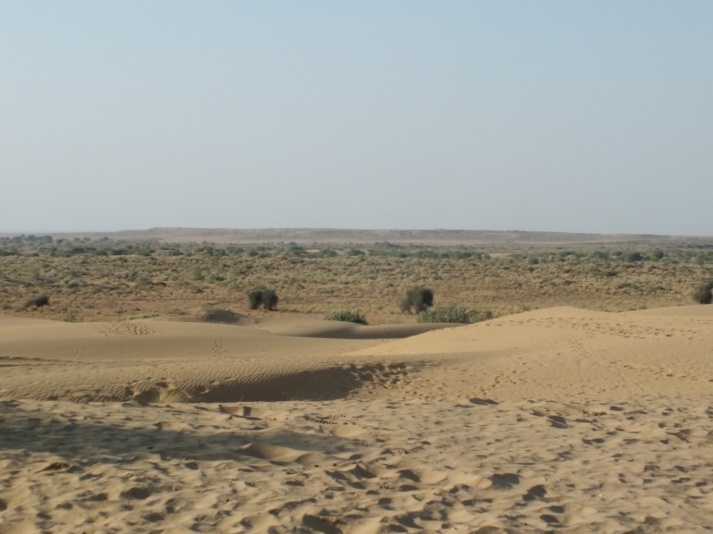 …but sand all the way to the Pakistani border and beyond.